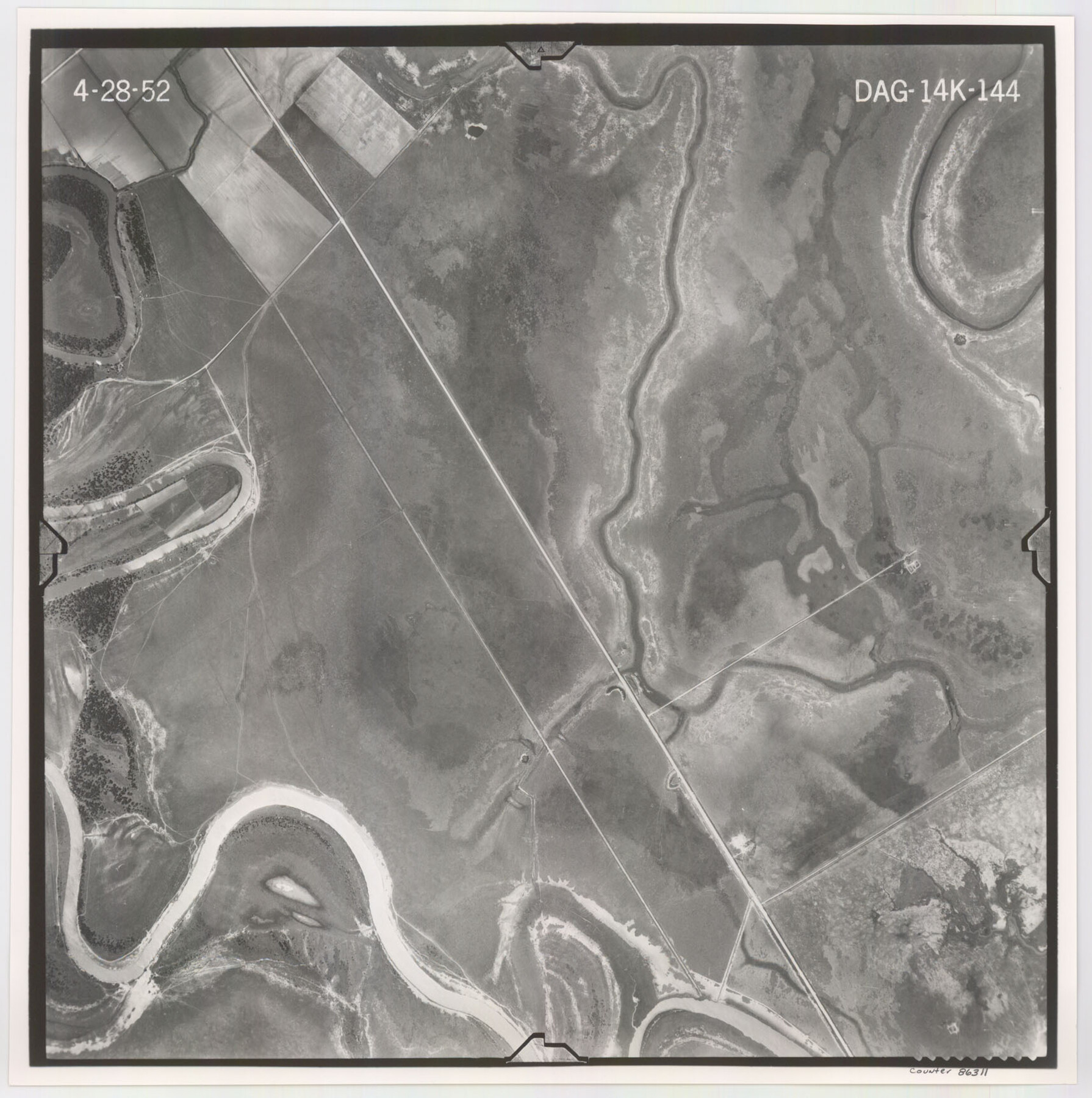
Flight Mission No. DAG-14K, Frame 144, Matagorda County
DAG-14K-144
-
Map/Doc
86311
-
Collection
General Map Collection
-
Object Dates
1952/4/28 (Creation Date)
-
People and Organizations
U. S. Department of Agriculture (Publisher)
-
Counties
Matagorda
-
Subjects
Aerial Photograph
-
Height x Width
17.2 x 17.2 inches
43.7 x 43.7 cm
-
Comments
Flown by Aero Exploration Company of Tulsa, Oklahoma.
Part of: General Map Collection
Wise County Rolled Sketch 8

Print $20.00
- Digital $50.00
Wise County Rolled Sketch 8
Size 24.0 x 36.0 inches
Map/Doc 93554
Public School Land Field Note Volume Index

Public School Land Field Note Volume Index
2023
Size 8.5 x 11.0 inches
Map/Doc 97176
Montague County Working Sketch 41

Print $40.00
- Digital $50.00
Montague County Working Sketch 41
1923
Size 43.0 x 66.1 inches
Map/Doc 65349
Newton County Rolled Sketch 5

Print $20.00
- Digital $50.00
Newton County Rolled Sketch 5
Size 20.5 x 42.5 inches
Map/Doc 6841
Bailey County Sketch File 8

Print $6.00
- Digital $50.00
Bailey County Sketch File 8
1913
Size 8.8 x 14.3 inches
Map/Doc 13962
Hansford County Working Sketch 6

Print $40.00
- Digital $50.00
Hansford County Working Sketch 6
1967
Size 33.2 x 56.2 inches
Map/Doc 63378
Knox County Working Sketch 16

Print $20.00
- Digital $50.00
Knox County Working Sketch 16
1963
Size 21.9 x 22.0 inches
Map/Doc 70258
Randall County Sketch File 12

Print $6.00
- Digital $50.00
Randall County Sketch File 12
1945
Size 11.3 x 8.9 inches
Map/Doc 34976
Flight Mission No. BRA-16M, Frame 131, Jefferson County

Print $20.00
- Digital $50.00
Flight Mission No. BRA-16M, Frame 131, Jefferson County
1953
Size 18.4 x 22.5 inches
Map/Doc 85741
Liberty County Sketch File 7

Print $4.00
- Digital $50.00
Liberty County Sketch File 7
Size 13.4 x 6.2 inches
Map/Doc 29897
Matagorda County NRC Article 33.136 Sketch 18

Print $24.00
Matagorda County NRC Article 33.136 Sketch 18
2023
Map/Doc 97283
Fort Bend County Sketch File 17 1/2

Print $52.00
- Digital $50.00
Fort Bend County Sketch File 17 1/2
1896
Size 11.2 x 8.7 inches
Map/Doc 22934
You may also like
New Map of the State of Texas compiled from J. De Cordova's large map

Print $20.00
- Digital $50.00
New Map of the State of Texas compiled from J. De Cordova's large map
1855
Map/Doc 93943
Montague County Sketch File 4

Print $22.00
- Digital $50.00
Montague County Sketch File 4
1855
Size 12.7 x 16.1 inches
Map/Doc 31715
Map Showing Survey of Navasota River Bed in Limestone County Texas Located North of Houston and Texas Central Railroad Bridge

Print $40.00
- Digital $50.00
Map Showing Survey of Navasota River Bed in Limestone County Texas Located North of Houston and Texas Central Railroad Bridge
1921
Size 68.0 x 42.5 inches
Map/Doc 65347
Real County Sketch File 8

Print $20.00
- Digital $50.00
Real County Sketch File 8
1931
Size 19.5 x 21.6 inches
Map/Doc 12230
Flight Mission No. BQY-4M, Frame 36, Harris County

Print $20.00
- Digital $50.00
Flight Mission No. BQY-4M, Frame 36, Harris County
1953
Size 18.6 x 22.3 inches
Map/Doc 85251
Hardin County Working Sketch 29

Print $20.00
- Digital $50.00
Hardin County Working Sketch 29
1958
Size 36.7 x 22.1 inches
Map/Doc 63427
Railroad and County Map of Texas

Print $20.00
Railroad and County Map of Texas
1901
Size 33.1 x 37.1 inches
Map/Doc 76213
Clay County Sketch File 21

Print $2.00
- Digital $50.00
Clay County Sketch File 21
1882
Size 11.3 x 8.7 inches
Map/Doc 18435
Colton's New Map of the State of Texas Compiled from J. De Cordova's large Map

Print $20.00
- Digital $50.00
Colton's New Map of the State of Texas Compiled from J. De Cordova's large Map
1859
Size 17.9 x 28.3 inches
Map/Doc 90094
Sketch in Southeast Portion of Stephens County, Texas showing various lines and corners as found upon survey

Print $20.00
- Digital $50.00
Sketch in Southeast Portion of Stephens County, Texas showing various lines and corners as found upon survey
1919
Size 19.2 x 34.3 inches
Map/Doc 91842
Map of Brewster Co.

Print $40.00
- Digital $50.00
Map of Brewster Co.
1896
Size 58.4 x 17.3 inches
Map/Doc 4892
San Saba County Rolled Sketch 1

Print $3.00
- Digital $50.00
San Saba County Rolled Sketch 1
Size 11.7 x 9.0 inches
Map/Doc 7742