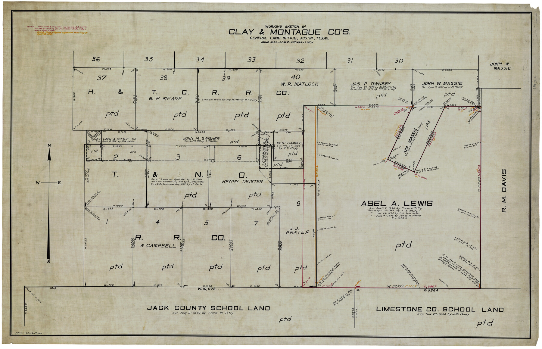
Montague County Working Sketch 41
K-7-54b
-
Map/Doc
65349
-
Collection
General Map Collection
-
Object Dates
6/1923 (Creation Date)
-
People and Organizations
J. Bascom Giles (Draftsman)
-
Counties
Montague Clay
-
Subjects
Surveying Working Sketch
-
Height x Width
43.0 x 66.1 inches
109.2 x 167.9 cm
-
Scale
1" = 250 varas
Part of: General Map Collection
Harris County Rolled Sketch 91

Print $407.00
- Digital $50.00
Harris County Rolled Sketch 91
1981
Size 31.0 x 24.3 inches
Map/Doc 6130
Zavala County Sketch File 1

Print $20.00
- Digital $50.00
Zavala County Sketch File 1
Size 28.5 x 22.7 inches
Map/Doc 12725
Jim Wells Co.

Print $20.00
- Digital $50.00
Jim Wells Co.
1966
Size 43.8 x 32.4 inches
Map/Doc 95548
Oldham County Rolled Sketch 7

Print $20.00
- Digital $50.00
Oldham County Rolled Sketch 7
Size 36.2 x 27.5 inches
Map/Doc 7173

Culberson County Rolled Sketch 42

Print $20.00
- Digital $50.00
Culberson County Rolled Sketch 42
Size 23.0 x 29.0 inches
Map/Doc 5663
[Subdivision of Nueces Bay and list of Court Decrees]
![2086, [Subdivision of Nueces Bay and list of Court Decrees], General Map Collection](https://historictexasmaps.com/wmedia_w700/maps/2086-1.tif.jpg)
Print $40.00
- Digital $50.00
[Subdivision of Nueces Bay and list of Court Decrees]
1940
Size 34.2 x 48.8 inches
Map/Doc 2086
Montgomery County Working Sketch 54

Print $20.00
- Digital $50.00
Montgomery County Working Sketch 54
1961
Size 30.6 x 28.3 inches
Map/Doc 71161
Atascosa County Sketch File 30

Print $18.00
- Digital $50.00
Atascosa County Sketch File 30
1900
Size 11.2 x 8.8 inches
Map/Doc 13816
Schleicher County Sketch File 30

Print $4.00
- Digital $50.00
Schleicher County Sketch File 30
1940
Size 11.3 x 8.8 inches
Map/Doc 36528
Kimble County Working Sketch 34

Print $20.00
- Digital $50.00
Kimble County Working Sketch 34
1945
Size 34.4 x 26.7 inches
Map/Doc 70102
Schleicher County Sketch File 33

Print $8.00
- Digital $50.00
Schleicher County Sketch File 33
1948
Size 11.3 x 8.9 inches
Map/Doc 36534
You may also like
Starr County Sketch File 7

Print $20.00
- Digital $50.00
Starr County Sketch File 7
Size 25.4 x 20.8 inches
Map/Doc 12326
The Lower Valley of the Rio Grande Irrigated Farm Lands

Print $20.00
- Digital $50.00
The Lower Valley of the Rio Grande Irrigated Farm Lands
1918
Size 24.6 x 18.6 inches
Map/Doc 96729
Corpus Christi Bay

Print $20.00
- Digital $50.00
Corpus Christi Bay
1975
Size 36.1 x 47.5 inches
Map/Doc 73475
Andrews County Working Sketch 16

Print $20.00
- Digital $50.00
Andrews County Working Sketch 16
1957
Size 36.3 x 44.6 inches
Map/Doc 67062
Andrews County Rolled Sketch 33

Print $40.00
- Digital $50.00
Andrews County Rolled Sketch 33
Size 131.2 x 22.0 inches
Map/Doc 9003
Franklin County Boundary File 1

Print $8.00
- Digital $50.00
Franklin County Boundary File 1
Size 12.9 x 8.1 inches
Map/Doc 53569
Fractional Township No. 9 South Range No. 24 East of the Indian Meridian, Indian Territory

Print $20.00
- Digital $50.00
Fractional Township No. 9 South Range No. 24 East of the Indian Meridian, Indian Territory
1898
Size 19.2 x 24.3 inches
Map/Doc 75241
Cherokee County Working Sketch 7

Print $20.00
- Digital $50.00
Cherokee County Working Sketch 7
1954
Size 22.2 x 22.7 inches
Map/Doc 67962
Map of the H.J. Dorrah survey 16 enlarged from the General Land Office map of the west part of Travis County, Texas

Print $2.00
- Digital $50.00
Map of the H.J. Dorrah survey 16 enlarged from the General Land Office map of the west part of Travis County, Texas
1920
Size 11.1 x 8.6 inches
Map/Doc 612
Swisher County Rolled Sketch 7

Print $40.00
- Digital $50.00
Swisher County Rolled Sketch 7
1955
Size 65.0 x 43.5 inches
Map/Doc 9983
Culberson County Working Sketch 27

Print $40.00
- Digital $50.00
Culberson County Working Sketch 27
1952
Size 22.2 x 53.4 inches
Map/Doc 68480
[Part of Eastern Texas RR. Co. Block 1]
![91898, [Part of Eastern Texas RR. Co. Block 1], Twichell Survey Records](https://historictexasmaps.com/wmedia_w700/maps/91898-1.tif.jpg)
Print $20.00
- Digital $50.00
[Part of Eastern Texas RR. Co. Block 1]
Size 21.2 x 12.2 inches
Map/Doc 91898