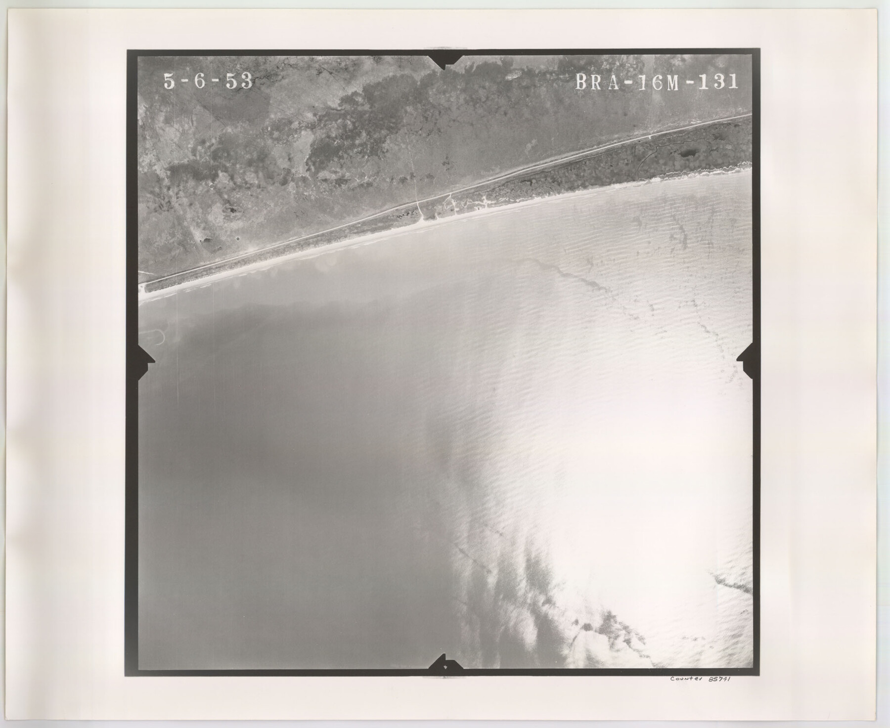
Flight Mission No. BRA-16M, Frame 131, Jefferson County
BRA-16M-131
-
Map/Doc
85741
-
Collection
General Map Collection
-
Object Dates
1953/5/6 (Creation Date)
-
People and Organizations
U. S. Department of Agriculture (Publisher)
-
Counties
Jefferson
-
Subjects
Aerial Photograph
-
Height x Width
18.4 x 22.5 inches
46.7 x 57.2 cm
-
Comments
Flown by Jack Ammann Photogrammetric Engineers of San Antonio, Texas.
Part of: General Map Collection
Williamson County Sketch File 12

Print $4.00
- Digital $50.00
Williamson County Sketch File 12
1860
Size 12.6 x 3.4 inches
Map/Doc 40326
Mills County Boundary File Index

Print $2.00
- Digital $50.00
Mills County Boundary File Index
Size 8.8 x 8.9 inches
Map/Doc 57258
Parker County Rolled Sketch 5

Print $20.00
- Digital $50.00
Parker County Rolled Sketch 5
1987
Size 21.9 x 21.4 inches
Map/Doc 7206
Guadalupe County Sketch File 21

Print $6.00
- Digital $50.00
Guadalupe County Sketch File 21
Size 9.9 x 8.5 inches
Map/Doc 24702
Kimble County Sketch File 19

Print $6.00
- Digital $50.00
Kimble County Sketch File 19
Size 9.9 x 15.0 inches
Map/Doc 28955
Cooke County Working Sketch 20

Print $20.00
- Digital $50.00
Cooke County Working Sketch 20
1956
Size 21.1 x 10.4 inches
Map/Doc 68257
Cameron County Rolled Sketch 25

Print $20.00
- Digital $50.00
Cameron County Rolled Sketch 25
1977
Size 24.8 x 36.8 inches
Map/Doc 5792
Travis County Appraisal District Plat Map 1_0202

Print $20.00
- Digital $50.00
Travis County Appraisal District Plat Map 1_0202
Size 21.6 x 26.5 inches
Map/Doc 94206
Kimble County Working Sketch 74

Print $20.00
- Digital $50.00
Kimble County Working Sketch 74
1966
Size 43.1 x 34.2 inches
Map/Doc 70142
Flight Mission No. DIX-3P, Frame 173, Aransas County

Print $20.00
- Digital $50.00
Flight Mission No. DIX-3P, Frame 173, Aransas County
1956
Size 17.8 x 17.9 inches
Map/Doc 83779
Zavala County Rolled Sketch 23

Print $20.00
- Digital $50.00
Zavala County Rolled Sketch 23
1943
Size 17.0 x 25.6 inches
Map/Doc 8326
Real County Working Sketch 50

Print $20.00
- Digital $50.00
Real County Working Sketch 50
1957
Size 19.8 x 26.1 inches
Map/Doc 71942
You may also like
Houston County Sketch File 37

Print $6.00
- Digital $50.00
Houston County Sketch File 37
1846
Size 12.8 x 7.8 inches
Map/Doc 26819
Brazoria County Sketch File 6

Print $42.00
- Digital $50.00
Brazoria County Sketch File 6
Size 9.0 x 7.1 inches
Map/Doc 14931
Atascosa County

Print $40.00
- Digital $50.00
Atascosa County
1894
Size 50.5 x 44.1 inches
Map/Doc 66706
The Republic County of Austin. February 1, 1844

Print $20.00
The Republic County of Austin. February 1, 1844
2020
Size 14.7 x 21.7 inches
Map/Doc 96087
Flight Mission No. DQN-6K, Frame 90, Calhoun County

Print $20.00
- Digital $50.00
Flight Mission No. DQN-6K, Frame 90, Calhoun County
1953
Size 18.6 x 22.2 inches
Map/Doc 84450
Richard's Addition to Adrian, Situated in Oldham County, Texas

Print $20.00
- Digital $50.00
Richard's Addition to Adrian, Situated in Oldham County, Texas
Size 21.4 x 24.3 inches
Map/Doc 91428
Edwards County Working Sketch 92

Print $20.00
- Digital $50.00
Edwards County Working Sketch 92
1966
Size 31.8 x 47.5 inches
Map/Doc 68968
Sterling County Sketch File 26

Print $24.00
- Digital $50.00
Sterling County Sketch File 26
1989
Size 14.2 x 8.8 inches
Map/Doc 37194
Irrigation in West Texas - the Pecos and Toyah Valleys

Irrigation in West Texas - the Pecos and Toyah Valleys
1912
Size 9.3 x 4.5 inches
Map/Doc 97072
Presidio County Working Sketch 51

Print $20.00
- Digital $50.00
Presidio County Working Sketch 51
1953
Size 33.4 x 43.1 inches
Map/Doc 71728
Cameron County Rolled Sketch 21

Print $20.00
- Digital $50.00
Cameron County Rolled Sketch 21
1952
Size 27.3 x 40.2 inches
Map/Doc 8573
Map showing survey for proposed ship channel from Brownsville to Brazos Santiago Pass

Print $20.00
- Digital $50.00
Map showing survey for proposed ship channel from Brownsville to Brazos Santiago Pass
1912
Size 18.4 x 28.8 inches
Map/Doc 72903