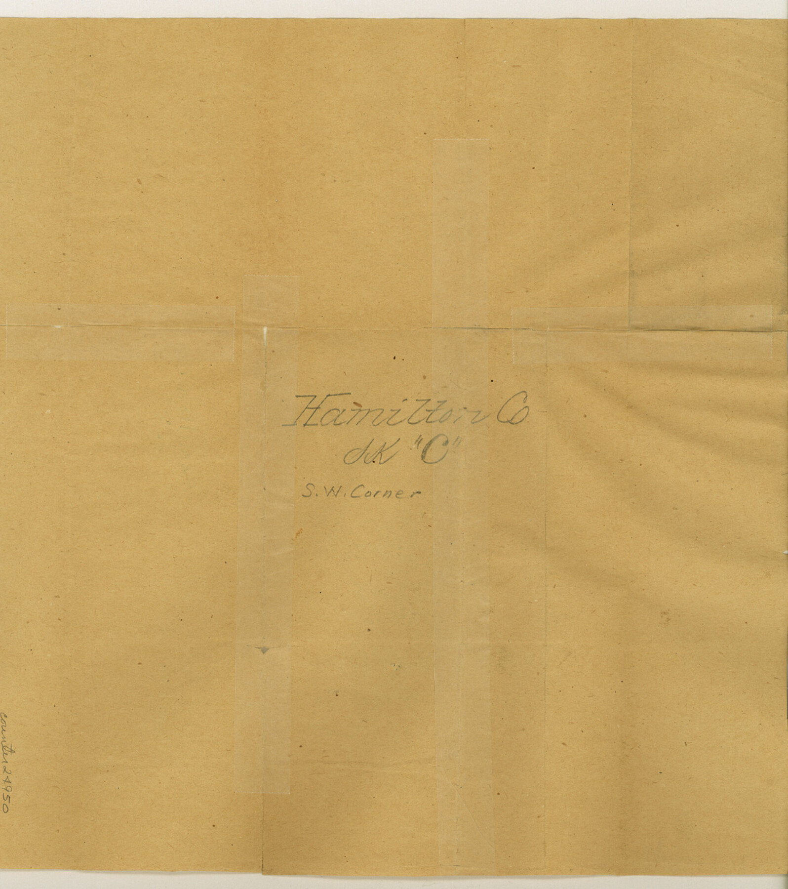
Hamilton County Sketch File C
[Sketch of an area in southwest corner of the county]
-
Map/Doc
24950
-
Collection
General Map Collection
-
Counties
Hamilton Coryell
-
Subjects
Surveying Sketch File
-
Height x Width
12.4 x 11.0 inches
31.5 x 27.9 cm
-
Medium
paper, manuscript
-
Features
Road from Hamilton to Lampasas Springs
Hamilton Road
Lampasas Springs Road
Part of: General Map Collection
Calhoun County Aerial Photograph Index Sheet 4

Print $20.00
- Digital $50.00
Calhoun County Aerial Photograph Index Sheet 4
1953
Size 24.2 x 19.7 inches
Map/Doc 87211
Kimble County Sketch File 42

Print $10.00
- Digital $50.00
Kimble County Sketch File 42
1995
Size 11.2 x 8.8 inches
Map/Doc 29015
Polk County Sketch File 28

Print $4.00
- Digital $50.00
Polk County Sketch File 28
Size 8.6 x 9.9 inches
Map/Doc 34198
Map of Liberty County Texas

Print $20.00
- Digital $50.00
Map of Liberty County Texas
1879
Size 24.2 x 23.9 inches
Map/Doc 3814
Lee County Boundary File 2

Print $25.00
- Digital $50.00
Lee County Boundary File 2
Size 14.2 x 8.6 inches
Map/Doc 56269
Aransas County Working Sketch 9

Print $20.00
- Digital $50.00
Aransas County Working Sketch 9
1947
Size 22.5 x 28.0 inches
Map/Doc 67176
Cottle County Working Sketch 22

Print $40.00
- Digital $50.00
Cottle County Working Sketch 22
1982
Size 44.0 x 75.0 inches
Map/Doc 68332
Val Verde County Sketch File A1

Print $6.00
- Digital $50.00
Val Verde County Sketch File A1
1895
Size 14.4 x 9.2 inches
Map/Doc 39038
McLennan County Sketch File 43

Print $4.00
- Digital $50.00
McLennan County Sketch File 43
1873
Size 10.0 x 8.1 inches
Map/Doc 31333
Hood County Sketch File 5

Print $4.00
- Digital $50.00
Hood County Sketch File 5
1884
Size 9.1 x 5.7 inches
Map/Doc 26577
Mississippi River to Galveston

Print $40.00
- Digital $50.00
Mississippi River to Galveston
1976
Size 37.4 x 51.2 inches
Map/Doc 69947
Edwards County Working Sketch 8

Print $20.00
- Digital $50.00
Edwards County Working Sketch 8
1918
Size 19.2 x 31.2 inches
Map/Doc 68884
You may also like
Harris County Rolled Sketch 70

Print $20.00
- Digital $50.00
Harris County Rolled Sketch 70
1942
Size 29.6 x 36.2 inches
Map/Doc 6110
Archer County Sketch File 8

Print $40.00
- Digital $50.00
Archer County Sketch File 8
Size 40.9 x 31.5 inches
Map/Doc 10336
Crockett County Rolled Sketch 55

Print $40.00
- Digital $50.00
Crockett County Rolled Sketch 55
Size 42.3 x 95.8 inches
Map/Doc 8718
Flight Mission No. DAG-22K, Frame 82, Matagorda County

Print $20.00
- Digital $50.00
Flight Mission No. DAG-22K, Frame 82, Matagorda County
1953
Size 18.5 x 22.4 inches
Map/Doc 86466
Map of Caldwell Co.

Print $40.00
- Digital $50.00
Map of Caldwell Co.
1917
Size 48.4 x 43.0 inches
Map/Doc 89748
Flight Mission No. CRC-2R, Frame 132, Chambers County

Print $20.00
- Digital $50.00
Flight Mission No. CRC-2R, Frame 132, Chambers County
1956
Size 18.6 x 22.3 inches
Map/Doc 84748
Souvenir of the Picturesque Alamo City - San Antonio, Texas

Souvenir of the Picturesque Alamo City - San Antonio, Texas
1908
Map/Doc 96780
Atascosa County Working Sketch 12

Print $20.00
- Digital $50.00
Atascosa County Working Sketch 12
1926
Size 23.0 x 29.2 inches
Map/Doc 67208
Smith County Sketch File 16

Print $116.00
- Digital $50.00
Smith County Sketch File 16
1966
Size 10.8 x 7.3 inches
Map/Doc 36781
Panola County Working Sketch 20

Print $20.00
- Digital $50.00
Panola County Working Sketch 20
1945
Map/Doc 71429
Flight Mission No. CRC-5R, Frame 23, Chambers County

Print $20.00
- Digital $50.00
Flight Mission No. CRC-5R, Frame 23, Chambers County
1956
Size 18.8 x 22.4 inches
Map/Doc 84945
Aransas County Rolled Sketch 19B

Print $20.00
- Digital $50.00
Aransas County Rolled Sketch 19B
1979
Size 25.7 x 18.7 inches
Map/Doc 76077