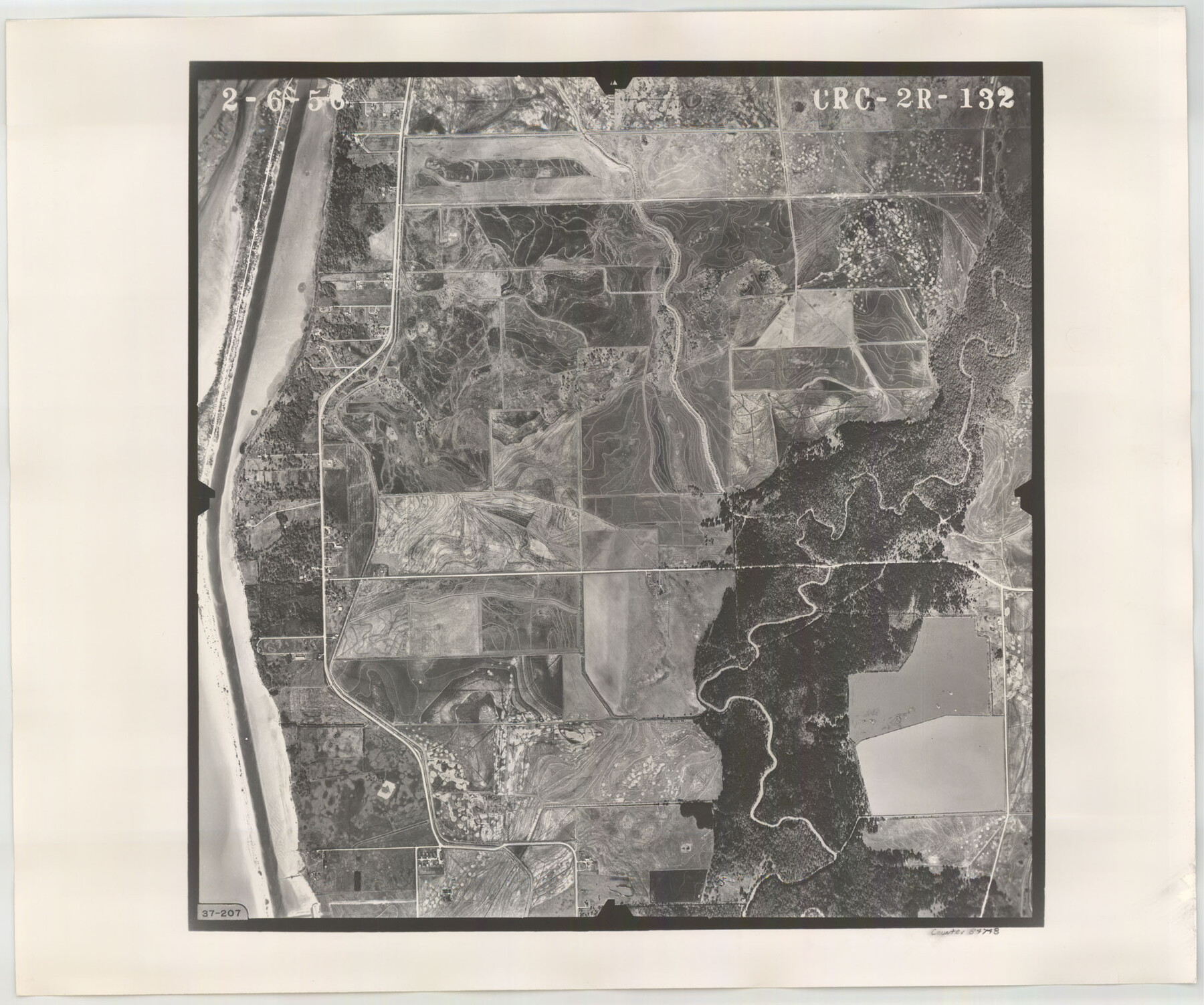
Flight Mission No. CRC-2R, Frame 132, Chambers County
CRC-2R-132
-
Map/Doc
84748
-
Collection
General Map Collection
-
Object Dates
1956/2/6 (Creation Date)
-
People and Organizations
U. S. Department of Agriculture (Publisher)
-
Counties
Chambers
-
Subjects
Aerial Photograph
-
Height x Width
18.6 x 22.3 inches
47.2 x 56.6 cm
-
Comments
Flown by Jack Ammann Photogrammetric Engineers, Inc. of San Antonio, Texas.
Part of: General Map Collection
Matagorda County Sketch File 33

Print $6.00
- Digital $50.00
Matagorda County Sketch File 33
1938
Size 14.2 x 8.8 inches
Map/Doc 30817

La Salle County Rolled Sketch 6A

Print $40.00
- Digital $50.00
La Salle County Rolled Sketch 6A
1941
Size 46.0 x 69.8 inches
Map/Doc 10724
Motley County Boundary File 2b

Print $60.00
- Digital $50.00
Motley County Boundary File 2b
Size 14.3 x 8.8 inches
Map/Doc 57521
Hudspeth County Sketch File 25

Print $10.00
- Digital $50.00
Hudspeth County Sketch File 25
1936
Size 11.3 x 8.7 inches
Map/Doc 26979
Calhoun County Rolled Sketch 14

Print $20.00
- Digital $50.00
Calhoun County Rolled Sketch 14
Size 22.2 x 40.6 inches
Map/Doc 5369

Lee County Working Sketch 20

Print $20.00
- Digital $50.00
Lee County Working Sketch 20
1992
Size 25.3 x 35.4 inches
Map/Doc 70399
Day Ranch Lands, Leaday, Texas

Print $20.00
- Digital $50.00
Day Ranch Lands, Leaday, Texas
1948
Size 30.8 x 23.0 inches
Map/Doc 81516
Travis County State Real Property Sketch 4

Print $20.00
- Digital $50.00
Travis County State Real Property Sketch 4
1987
Size 25.7 x 30.7 inches
Map/Doc 61695
Flight Mission No. DQN-7K, Frame 7, Calhoun County

Print $20.00
- Digital $50.00
Flight Mission No. DQN-7K, Frame 7, Calhoun County
1953
Size 18.5 x 22.2 inches
Map/Doc 84458
Bastrop County Sketch File 3

Print $4.00
- Digital $50.00
Bastrop County Sketch File 3
1860
Size 8.9 x 9.2 inches
Map/Doc 14044
You may also like
[Surveys along the Colorado River]
![49, [Surveys along the Colorado River], General Map Collection](https://historictexasmaps.com/wmedia_w700/maps/49.tif.jpg)
Print $20.00
- Digital $50.00
[Surveys along the Colorado River]
Size 28.6 x 24.0 inches
Map/Doc 49
Map of the Central States to illustrate Olney's school geography

Print $20.00
- Digital $50.00
Map of the Central States to illustrate Olney's school geography
1844
Size 12.1 x 19.0 inches
Map/Doc 93539
San Jacinto County Working Sketch 4

Print $20.00
- Digital $50.00
San Jacinto County Working Sketch 4
1934
Size 16.2 x 20.8 inches
Map/Doc 63717
Artesian Company Subdivision

Print $20.00
- Digital $50.00
Artesian Company Subdivision
1955
Size 12.0 x 15.8 inches
Map/Doc 92698
Hood County Rolled Sketch 6A

Print $4.00
- Digital $50.00
Hood County Rolled Sketch 6A
1996
Size 19.9 x 26.5 inches
Map/Doc 6223
Houston Ship Channel, Atkinson Island to Alexander Island

Print $40.00
- Digital $50.00
Houston Ship Channel, Atkinson Island to Alexander Island
1973
Size 36.7 x 50.2 inches
Map/Doc 69902
Map of Shackelford County, Texas

Print $20.00
- Digital $50.00
Map of Shackelford County, Texas
Size 47.3 x 42.8 inches
Map/Doc 78398
Taylor County Working Sketch 4a

Print $20.00
- Digital $50.00
Taylor County Working Sketch 4a
1944
Size 17.2 x 14.0 inches
Map/Doc 69613
Gonzales County Sketch File 9

Print $7.00
- Digital $50.00
Gonzales County Sketch File 9
1841
Size 10.1 x 8.2 inches
Map/Doc 24387
Hamilton County Working Sketch 28

Print $20.00
- Digital $50.00
Hamilton County Working Sketch 28
1976
Size 27.7 x 33.2 inches
Map/Doc 63366
Hale County Sketch File 4

Print $20.00
- Digital $50.00
Hale County Sketch File 4
1891
Size 18.8 x 16.4 inches
Map/Doc 11594
Concho County Sketch File 5

Print $2.00
- Digital $50.00
Concho County Sketch File 5
1858
Size 8.1 x 7.4 inches
Map/Doc 82974