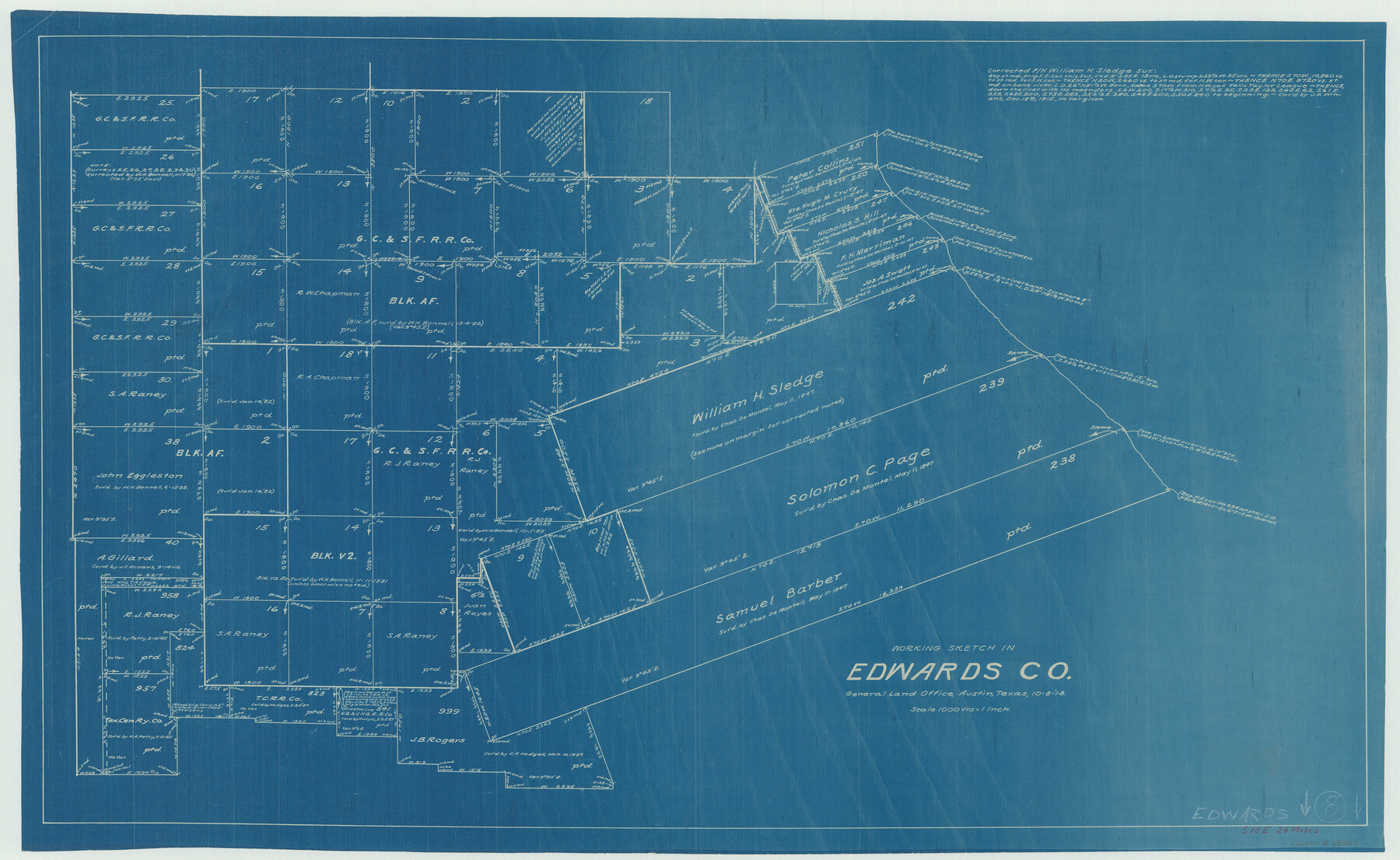
Edwards County Working Sketch 8
-
Map/Doc
68884
-
Collection
General Map Collection
-
Object Dates
10/8/1918 (Creation Date)
-
Counties
Edwards
-
Subjects
Surveying Working Sketch
-
Height x Width
19.2 x 31.2 inches
48.8 x 79.3 cm
-
Scale
1" = 1000 varas
Part of: General Map Collection
Pecos County Rolled Sketch 25B

Print $20.00
- Digital $50.00
Pecos County Rolled Sketch 25B
1892
Size 22.2 x 16.0 inches
Map/Doc 7210

Val Verde County Working Sketch 108

Print $20.00
- Digital $50.00
Val Verde County Working Sketch 108
1988
Size 31.1 x 41.3 inches
Map/Doc 72243
Lavaca County Working Sketch 25

Print $20.00
- Digital $50.00
Lavaca County Working Sketch 25
1986
Size 33.3 x 29.9 inches
Map/Doc 70378
Foard County Sketch File 17

Print $12.00
- Digital $50.00
Foard County Sketch File 17
1882
Size 14.2 x 8.8 inches
Map/Doc 22828
Polk County Rolled Sketch 32

Print $20.00
- Digital $50.00
Polk County Rolled Sketch 32
Size 21.6 x 15.8 inches
Map/Doc 7318
Trinity River, Branch Sheet/East Fork of Trinity River

Print $20.00
- Digital $50.00
Trinity River, Branch Sheet/East Fork of Trinity River
1931
Size 41.4 x 19.6 inches
Map/Doc 65240
El Paso County State Real Property Sketch 4

Print $20.00
- Digital $50.00
El Paso County State Real Property Sketch 4
2012
Size 29.9 x 35.9 inches
Map/Doc 93701
Crockett County Rolled Sketch 86

Print $20.00
- Digital $50.00
Crockett County Rolled Sketch 86
1947
Size 31.2 x 27.1 inches
Map/Doc 5626
Flight Mission No. CGI-1N, Frame 170, Cameron County

Print $20.00
- Digital $50.00
Flight Mission No. CGI-1N, Frame 170, Cameron County
1955
Size 18.5 x 22.1 inches
Map/Doc 84505
Flight Mission No. DAH-10M, Frame 44, Orange County

Print $20.00
- Digital $50.00
Flight Mission No. DAH-10M, Frame 44, Orange County
1953
Size 18.6 x 22.4 inches
Map/Doc 86879
Brewster County Sketch File FN-33

Print $6.00
- Digital $50.00
Brewster County Sketch File FN-33
1975
Size 11.1 x 8.7 inches
Map/Doc 15858
You may also like
General Highway Map, Martin County, Texas

Print $20.00
General Highway Map, Martin County, Texas
1961
Size 18.1 x 24.6 inches
Map/Doc 79583
Maps of Gulf Intracoastal Waterway, Texas - Sabine River to the Rio Grande and connecting waterways including ship channels

Print $20.00
- Digital $50.00
Maps of Gulf Intracoastal Waterway, Texas - Sabine River to the Rio Grande and connecting waterways including ship channels
1966
Size 14.6 x 22.3 inches
Map/Doc 61954

Rio Grande, North Extension McAllen Sheet

Print $20.00
- Digital $50.00
Rio Grande, North Extension McAllen Sheet
1937
Size 18.5 x 42.1 inches
Map/Doc 65108
Blanco County Sketch File 27

Print $6.00
- Digital $50.00
Blanco County Sketch File 27
1888
Size 14.1 x 11.2 inches
Map/Doc 14621
[Sketch showing the Rio Grande with towns and features annotated]
![72897, [Sketch showing the Rio Grande with towns and features annotated], General Map Collection](https://historictexasmaps.com/wmedia_w700/maps/72897.tif.jpg)
Print $20.00
- Digital $50.00
[Sketch showing the Rio Grande with towns and features annotated]
1854
Size 23.7 x 18.4 inches
Map/Doc 72897
Hamilton County Rolled Sketch 7

Print $20.00
- Digital $50.00
Hamilton County Rolled Sketch 7
1927
Size 32.2 x 38.4 inches
Map/Doc 6057
Henderson County Rolled Sketch 14

Print $20.00
- Digital $50.00
Henderson County Rolled Sketch 14
2012
Size 19.3 x 32.3 inches
Map/Doc 95715
Orange County Rolled Sketch 29

Print $20.00
- Digital $50.00
Orange County Rolled Sketch 29
1960
Size 25.9 x 37.2 inches
Map/Doc 7187
Wharton County

Print $40.00
- Digital $50.00
Wharton County
1946
Size 43.1 x 49.7 inches
Map/Doc 95671
Harris County Sketch File 52

Print $20.00
- Digital $50.00
Harris County Sketch File 52
1914
Size 21.7 x 26.0 inches
Map/Doc 11653
General Highway Map, Goliad County, Texas

Print $20.00
General Highway Map, Goliad County, Texas
1961
Size 18.2 x 24.7 inches
Map/Doc 79481