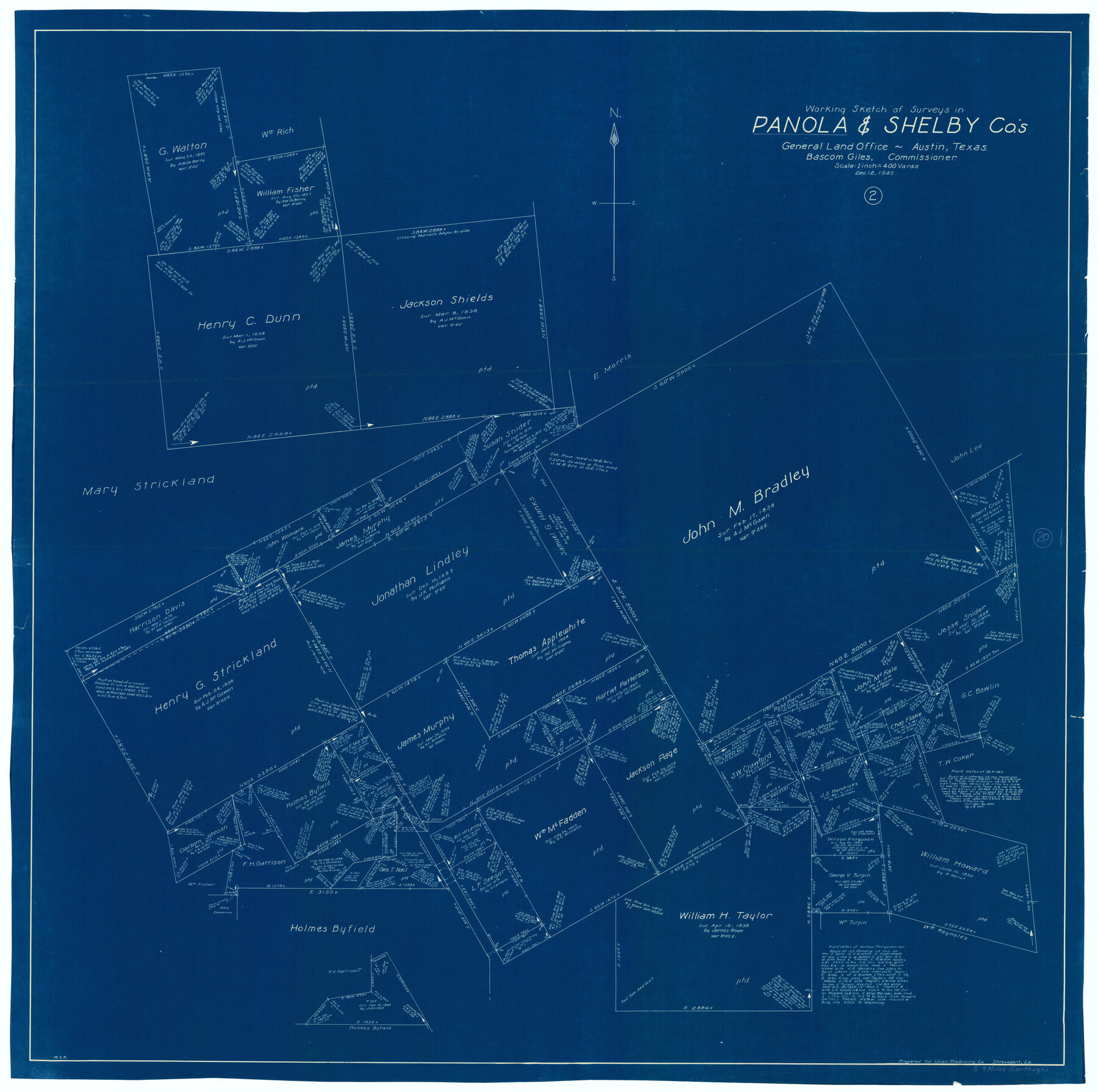
Panola County Working Sketch 20
-
Map/Doc
71429
-
Collection
General Map Collection
-
Object Dates
12/12/1945 (Creation Date)
-
Counties
Panola Shelby
-
Subjects
Surveying Working Sketch
-
Scale
1" = 400 varas
Part of: General Map Collection
Topographical Map of the Rio Grande, Sheet No. 11

Print $20.00
- Digital $50.00
Topographical Map of the Rio Grande, Sheet No. 11
1912
Map/Doc 89535
Parker County State Real Property Sketch 1

Print $20.00
- Digital $50.00
Parker County State Real Property Sketch 1
2022
Size 47.4 x 35.1 inches
Map/Doc 96678
Hartley County Working Sketch 7

Print $20.00
- Digital $50.00
Hartley County Working Sketch 7
1971
Size 20.1 x 25.1 inches
Map/Doc 66057
Calhoun County Rolled Sketch 16

Print $20.00
- Digital $50.00
Calhoun County Rolled Sketch 16
1957
Size 33.6 x 33.8 inches
Map/Doc 8549
Coast Chart No. 210 Aransas Pass and Corpus Christi Bay with the coast to latitude 27° 12' Texas

Print $20.00
- Digital $50.00
Coast Chart No. 210 Aransas Pass and Corpus Christi Bay with the coast to latitude 27° 12' Texas
1887
Size 27.1 x 18.5 inches
Map/Doc 72788
Harris County Sketch File E

Print $4.00
- Digital $50.00
Harris County Sketch File E
1860
Size 7.6 x 12.1 inches
Map/Doc 25315
Flight Mission No. DCL-5C, Frame 29, Kenedy County

Print $20.00
- Digital $50.00
Flight Mission No. DCL-5C, Frame 29, Kenedy County
1943
Size 18.4 x 22.4 inches
Map/Doc 85841
Harris County Sketch File 62

Print $14.00
- Digital $50.00
Harris County Sketch File 62
1930
Size 11.4 x 8.7 inches
Map/Doc 25486
Val Verde County Working Sketch 103

Print $20.00
- Digital $50.00
Val Verde County Working Sketch 103
1981
Size 37.1 x 39.9 inches
Map/Doc 72238
Stonewall County Working Sketch 35

Print $20.00
- Digital $50.00
Stonewall County Working Sketch 35
1991
Size 41.1 x 33.0 inches
Map/Doc 62342
PSL Field Notes for Blocks A42 through A55 in Andrews County

PSL Field Notes for Blocks A42 through A55 in Andrews County
Map/Doc 81644
East Part of Anderson County

Print $40.00
- Digital $50.00
East Part of Anderson County
1942
Size 52.0 x 42.3 inches
Map/Doc 77198
You may also like
Rockwall County Sketch File 1

Print $22.00
Rockwall County Sketch File 1
Size 14.5 x 16.1 inches
Map/Doc 35413
Flight Mission No. CRC-3R, Frame 25, Chambers County

Print $20.00
- Digital $50.00
Flight Mission No. CRC-3R, Frame 25, Chambers County
1956
Size 18.5 x 22.3 inches
Map/Doc 84799
Galveston County Rolled Sketch 8

Print $20.00
- Digital $50.00
Galveston County Rolled Sketch 8
Size 24.3 x 34.8 inches
Map/Doc 5951
Erath County Working Sketch 11

Print $20.00
- Digital $50.00
Erath County Working Sketch 11
1951
Size 45.1 x 36.2 inches
Map/Doc 69092
Liberty County Rolled Sketch Q

Print $20.00
- Digital $50.00
Liberty County Rolled Sketch Q
1890
Size 31.7 x 25.1 inches
Map/Doc 6625
Bosque County, Texas School Map

Print $20.00
- Digital $50.00
Bosque County, Texas School Map
1932
Size 40.9 x 36.6 inches
Map/Doc 81918
Right of Way & Track Map, St. Louis, Brownsville & Mexico Ry. operated by St. Louis, Brownsville & Mexico Ry. Co.

Print $40.00
- Digital $50.00
Right of Way & Track Map, St. Louis, Brownsville & Mexico Ry. operated by St. Louis, Brownsville & Mexico Ry. Co.
1919
Size 25.4 x 57.2 inches
Map/Doc 64621
Upton County Rolled Sketch 59

Print $40.00
- Digital $50.00
Upton County Rolled Sketch 59
1994
Size 36.3 x 49.0 inches
Map/Doc 10638
Fractional Township No. 8 South Range No. 1 East of the Indian Meridian, Indian Territory

Print $20.00
- Digital $50.00
Fractional Township No. 8 South Range No. 1 East of the Indian Meridian, Indian Territory
1898
Size 19.3 x 24.3 inches
Map/Doc 75200
Val Verde County

Print $20.00
- Digital $50.00
Val Verde County
1944
Size 42.0 x 37.0 inches
Map/Doc 63103
Harris County Historic Topographic 16

Print $20.00
- Digital $50.00
Harris County Historic Topographic 16
1916
Size 29.3 x 22.9 inches
Map/Doc 65826
Bosque County Working Sketch 1

Print $20.00
- Digital $50.00
Bosque County Working Sketch 1
Size 16.3 x 13.7 inches
Map/Doc 67434