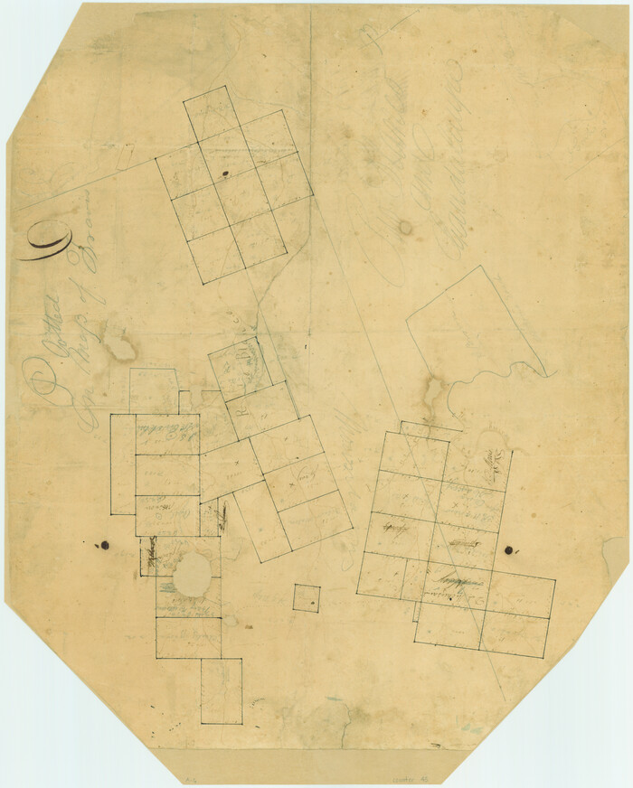
Bandera County Sketch File 10

Print $40.00
- Digital $50.00
Bandera County Sketch File 10
Size: 15.0 x 17.4 inches
10892
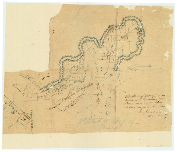
Bandera County Sketch File 28

Print $40.00
- Digital $50.00
Bandera County Sketch File 28
Size: 23.5 x 20.0 inches
10897
Kerr County Sketch File 14

Print $20.00
- Digital $50.00
Kerr County Sketch File 14
Size: 14.9 x 17.8 inches
11918
Blanco County Sketch File 39

Print $4.00
- Digital $50.00
Blanco County Sketch File 39
Size: 8.6 x 13.9 inches
14650
Kendall County Sketch File 1

Print $4.00
- Digital $50.00
Kendall County Sketch File 1
Size: 9.6 x 8.3 inches
28671
Kendall County Sketch File 4

Print $4.00
- Digital $50.00
Kendall County Sketch File 4
Size: 7.8 x 8.6 inches
28684
Kendall County Sketch File 24

Print $8.00
- Digital $50.00
Kendall County Sketch File 24
Size: 13.1 x 8.7 inches
28718
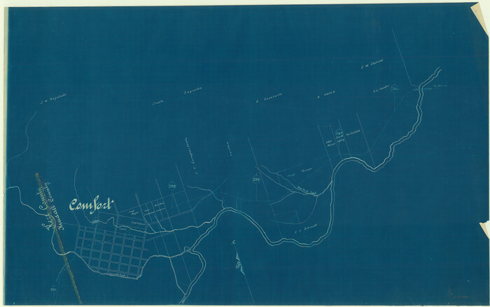
[Surveys along the Guadalupe River and Blanco Creek]
Print $20.00
- Digital $50.00
[Surveys along the Guadalupe River and Blanco Creek]
Size: 19.5 x 15.7 inches
45
Kendall County Boundary File 1

Print $6.00
- Digital $50.00
Kendall County Boundary File 1
Size: 14.2 x 8.7 inches
55743
Kendall County Boundary File 2

Print $4.00
- Digital $50.00
Kendall County Boundary File 2
Size: 10.2 x 8.2 inches
55746
Kendall County Boundary File 2a

Print $12.00
- Digital $50.00
Kendall County Boundary File 2a
Size: 10.0 x 7.9 inches
55748
Kendall County Boundary File 2b

Print $4.00
- Digital $50.00
Kendall County Boundary File 2b
Size: 10.0 x 8.0 inches
55754
Kendall County Boundary File 3

Print $36.00
- Digital $50.00
Kendall County Boundary File 3
Size: 9.4 x 37.5 inches
55756
Kendall County Boundary File 3a

Print $8.00
- Digital $50.00
Kendall County Boundary File 3a
Size: 11.2 x 8.9 inches
55765
Kendall County Boundary File 54

Print $16.00
- Digital $50.00
Kendall County Boundary File 54
Size: 8.6 x 3.5 inches
55769
[San Antonio & Aransas Pass Railway Co.]
Print $20.00
- Digital $50.00
[San Antonio & Aransas Pass Railway Co.]
Size: 18.5 x 29.4 inches
64260
[San Antonio & Aransas Pass Railway Co.]
Print $20.00
- Digital $50.00
[San Antonio & Aransas Pass Railway Co.]
Size: 22.9 x 35.1 inches
64261
[San Antonio & Aransas Pass Railway Co.]
Print $40.00
- Digital $50.00
[San Antonio & Aransas Pass Railway Co.]
Size: 15.7 x 86.4 inches
64262
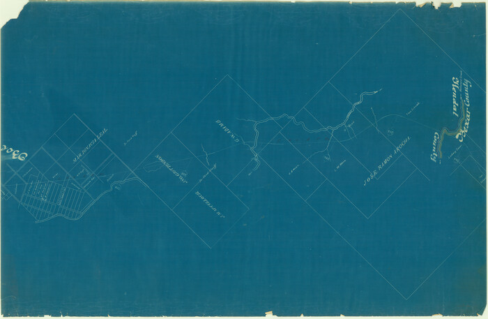
Kendall County Rolled Sketch 5

Print $20.00
- Digital $50.00
Kendall County Rolled Sketch 5
Size: 23.4 x 19.3 inches
6458
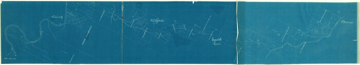
Kendall County Rolled Sketch 6

Print $20.00
- Digital $50.00
Kendall County Rolled Sketch 6
Size: 29.6 x 39.4 inches
6459
Kendall County Rolled Sketch 7

Print $20.00
- Digital $50.00
Kendall County Rolled Sketch 7
Size: 29.0 x 27.3 inches
6460
Blanco County Sketch File 52

Print $4.00
- Digital $50.00
Blanco County Sketch File 52
Size: 11.3 x 8.9 inches
76332
Blanco County Rolled Sketch 19

Print $20.00
- Digital $50.00
Blanco County Rolled Sketch 19
Size: 20.4 x 17.0 inches
76409
Guadalupe-Blanco River Authority Master Plan

Print $20.00
Guadalupe-Blanco River Authority Master Plan
Size: 23.1 x 29.8 inches
97506
[Surveys along the Cibolo, Balcones and Leon Creeks]
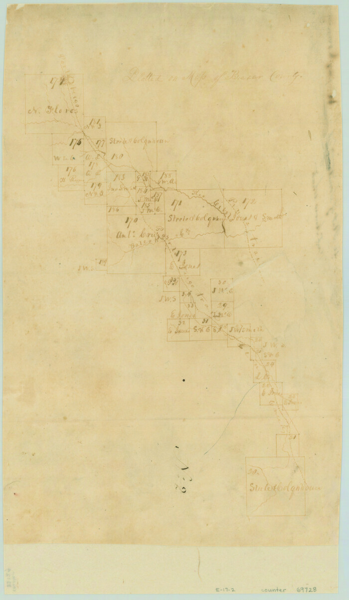
Print $20.00
- Digital $50.00
[Surveys along the Cibolo, Balcones and Leon Creeks]
1841
Size: 14.5 x 21.0 inches
69728
[Surveys along the Cibolo, Balcones and Leon Creeks]
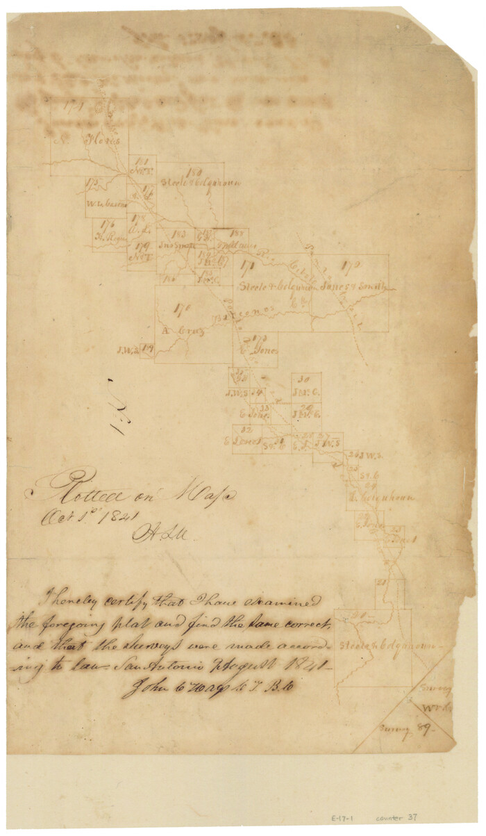
Print $2.00
- Digital $50.00
[Surveys along the Cibolo, Balcones and Leon Creeks]
1841
Size: 13.3 x 7.8 inches
37
[Surveys in the Bexar District along the Guadalupe River]
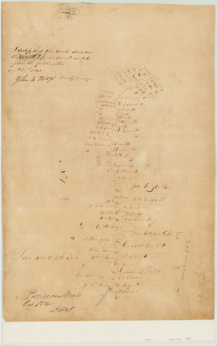
Print $3.00
- Digital $50.00
[Surveys in the Bexar District along the Guadalupe River]
1841
Size: 17.2 x 10.8 inches
124
[Surveys in the Bexar District along the Balcones, Cibolo and Leon Creeks]
Print $3.00
- Digital $50.00
[Surveys in the Bexar District along the Balcones, Cibolo and Leon Creeks]
1842
Size: 10.6 x 12.4 inches
63
Comal County Sketch File 1

Print $6.00
- Digital $50.00
Comal County Sketch File 1
1846
Size: 16.4 x 10.5 inches
18995
Bandera County Sketch File 10
Print $40.00
- Digital $50.00
Bandera County Sketch File 10
-
Size
15.0 x 17.4 inches
-
Map/Doc
10892
Bandera County Sketch File 28
Print $40.00
- Digital $50.00
Bandera County Sketch File 28
-
Size
23.5 x 20.0 inches
-
Map/Doc
10897
Kerr County Sketch File 14
Print $20.00
- Digital $50.00
Kerr County Sketch File 14
-
Size
14.9 x 17.8 inches
-
Map/Doc
11918
Blanco County Sketch File 39
Print $4.00
- Digital $50.00
Blanco County Sketch File 39
-
Size
8.6 x 13.9 inches
-
Map/Doc
14650
Kendall County Sketch File 1
Print $4.00
- Digital $50.00
Kendall County Sketch File 1
-
Size
9.6 x 8.3 inches
-
Map/Doc
28671
Kendall County Sketch File 4
Print $4.00
- Digital $50.00
Kendall County Sketch File 4
-
Size
7.8 x 8.6 inches
-
Map/Doc
28684
Kendall County Sketch File 24
Print $8.00
- Digital $50.00
Kendall County Sketch File 24
-
Size
13.1 x 8.7 inches
-
Map/Doc
28718
[Surveys along the Guadalupe River and Blanco Creek]
Print $20.00
- Digital $50.00
[Surveys along the Guadalupe River and Blanco Creek]
-
Size
19.5 x 15.7 inches
-
Map/Doc
45
Kendall County Boundary File 1
Print $6.00
- Digital $50.00
Kendall County Boundary File 1
-
Size
14.2 x 8.7 inches
-
Map/Doc
55743
Kendall County Boundary File 2
Print $4.00
- Digital $50.00
Kendall County Boundary File 2
-
Size
10.2 x 8.2 inches
-
Map/Doc
55746
Kendall County Boundary File 2a
Print $12.00
- Digital $50.00
Kendall County Boundary File 2a
-
Size
10.0 x 7.9 inches
-
Map/Doc
55748
Kendall County Boundary File 2b
Print $4.00
- Digital $50.00
Kendall County Boundary File 2b
-
Size
10.0 x 8.0 inches
-
Map/Doc
55754
Kendall County Boundary File 3
Print $36.00
- Digital $50.00
Kendall County Boundary File 3
-
Size
9.4 x 37.5 inches
-
Map/Doc
55756
Kendall County Boundary File 3a
Print $8.00
- Digital $50.00
Kendall County Boundary File 3a
-
Size
11.2 x 8.9 inches
-
Map/Doc
55765
Kendall County Boundary File 54
Print $16.00
- Digital $50.00
Kendall County Boundary File 54
-
Size
8.6 x 3.5 inches
-
Map/Doc
55769
[San Antonio & Aransas Pass Railway Co.]
Print $20.00
- Digital $50.00
[San Antonio & Aransas Pass Railway Co.]
-
Size
18.5 x 29.4 inches
-
Map/Doc
64260
[San Antonio & Aransas Pass Railway Co.]
Print $20.00
- Digital $50.00
[San Antonio & Aransas Pass Railway Co.]
-
Size
22.9 x 35.1 inches
-
Map/Doc
64261
[San Antonio & Aransas Pass Railway Co.]
Print $40.00
- Digital $50.00
[San Antonio & Aransas Pass Railway Co.]
-
Size
15.7 x 86.4 inches
-
Map/Doc
64262
Kendall County Rolled Sketch 5
Print $20.00
- Digital $50.00
Kendall County Rolled Sketch 5
-
Size
23.4 x 19.3 inches
-
Map/Doc
6458
Kendall County Rolled Sketch 6
Print $20.00
- Digital $50.00
Kendall County Rolled Sketch 6
-
Size
29.6 x 39.4 inches
-
Map/Doc
6459
Kendall County Rolled Sketch 7
Print $20.00
- Digital $50.00
Kendall County Rolled Sketch 7
-
Size
29.0 x 27.3 inches
-
Map/Doc
6460
Blanco County Sketch File 52
Print $4.00
- Digital $50.00
Blanco County Sketch File 52
-
Size
11.3 x 8.9 inches
-
Map/Doc
76332
Blanco County Rolled Sketch 19
Print $20.00
- Digital $50.00
Blanco County Rolled Sketch 19
-
Size
20.4 x 17.0 inches
-
Map/Doc
76409
Texas Hill Country Trail Region

Texas Hill Country Trail Region
-
Size
18.1 x 24.2 inches
-
Map/Doc
96872
Guadalupe-Blanco River Authority Master Plan
Print $20.00
Guadalupe-Blanco River Authority Master Plan
-
Size
23.1 x 29.8 inches
-
Map/Doc
97506
[Surveys along the Cibolo, Balcones and Leon Creeks]
Print $20.00
- Digital $50.00
[Surveys along the Cibolo, Balcones and Leon Creeks]
1841
-
Size
14.5 x 21.0 inches
-
Map/Doc
69728
-
Creation Date
1841
[Surveys along the Cibolo, Balcones and Leon Creeks]
Print $2.00
- Digital $50.00
[Surveys along the Cibolo, Balcones and Leon Creeks]
1841
-
Size
13.3 x 7.8 inches
-
Map/Doc
37
-
Creation Date
1841
[Surveys in the Bexar District along the Guadalupe River]
Print $3.00
- Digital $50.00
[Surveys in the Bexar District along the Guadalupe River]
1841
-
Size
17.2 x 10.8 inches
-
Map/Doc
124
-
Creation Date
1841
[Surveys in the Bexar District along the Balcones, Cibolo and Leon Creeks]
Print $3.00
- Digital $50.00
[Surveys in the Bexar District along the Balcones, Cibolo and Leon Creeks]
1842
-
Size
10.6 x 12.4 inches
-
Map/Doc
63
-
Creation Date
1842
Comal County Sketch File 1
Print $6.00
- Digital $50.00
Comal County Sketch File 1
1846
-
Size
16.4 x 10.5 inches
-
Map/Doc
18995
-
Creation Date
1846