[Surveys along the Cibolo, Balcones and Leon Creeks]
Atlas E, Page 17, Sketch 1 (E-17-1)
E-17-1
-
Map/Doc
37
-
Collection
General Map Collection
-
Object Dates
8/9/1841 (Creation Date)
-
People and Organizations
John C. Hays (Author)
-
Counties
Bexar Kendall
-
Subjects
Atlas
-
Height x Width
13.3 x 7.8 inches
33.8 x 19.8 cm
-
Medium
paper, manuscript
-
Comments
Conserved in 2003.
-
Features
Rio Cibolo
Pinola Trail
Balcones Creek
Porto Viego Road
Leon Creek
Part of: General Map Collection
Terrell County Sketch File 8

Print $6.00
- Digital $50.00
Terrell County Sketch File 8
Size 11.4 x 10.2 inches
Map/Doc 37902
Flight Mission No. DCL-6C, Frame 180, Kenedy County


Print $20.00
- Digital $50.00
Flight Mission No. DCL-6C, Frame 180, Kenedy County
1943
Size 18.5 x 22.4 inches
Map/Doc 85992
Map of Lampasas County

Print $40.00
- Digital $50.00
Map of Lampasas County
1900
Size 47.1 x 60.2 inches
Map/Doc 62971
Yoakum County Sketch File 3

Print $54.00
- Digital $50.00
Yoakum County Sketch File 3
1892
Size 14.2 x 8.8 inches
Map/Doc 40705
Terrell County Working Sketch 60


Print $40.00
- Digital $50.00
Terrell County Working Sketch 60
1962
Size 20.2 x 67.0 inches
Map/Doc 69581
Flight Mission No. BQR-3K, Frame 161, Brazoria County

Print $20.00
- Digital $50.00
Flight Mission No. BQR-3K, Frame 161, Brazoria County
1952
Size 18.7 x 22.4 inches
Map/Doc 83988
Chambers County Rolled Sketch 12
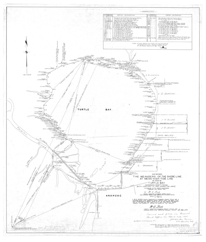

Print $20.00
- Digital $50.00
Chambers County Rolled Sketch 12
1935
Size 36.4 x 30.9 inches
Map/Doc 8613
Pecos County Working Sketch 20
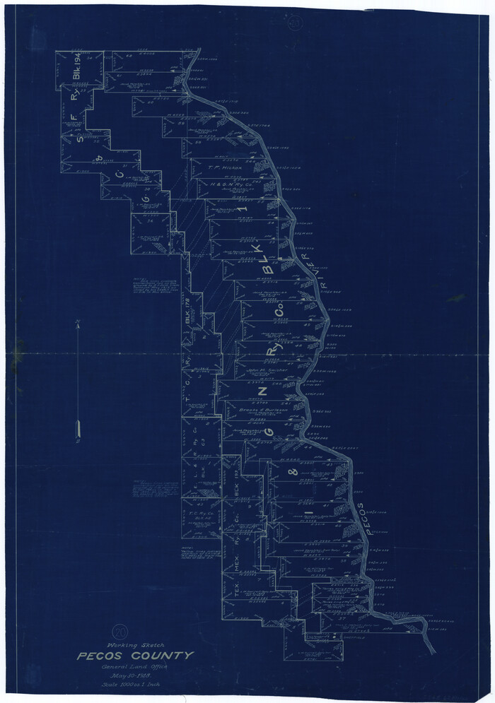

Print $20.00
- Digital $50.00
Pecos County Working Sketch 20
1918
Size 33.0 x 23.2 inches
Map/Doc 71490
Henderson County Sketch File 20
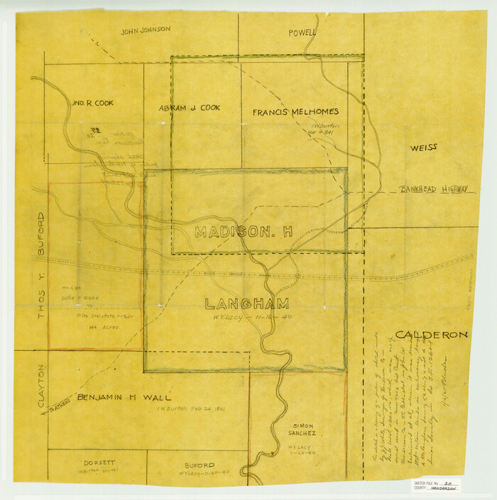

Print $20.00
- Digital $50.00
Henderson County Sketch File 20
Size 23.7 x 23.5 inches
Map/Doc 11757
Cameron County Boundary File 3


Print $26.00
- Digital $50.00
Cameron County Boundary File 3
Size 14.4 x 8.4 inches
Map/Doc 51097
Culberson County Rolled Sketch 37
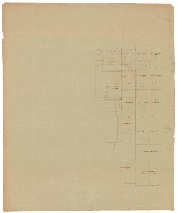

Print $20.00
- Digital $50.00
Culberson County Rolled Sketch 37
Size 29.5 x 24.6 inches
Map/Doc 78464
You may also like
Brazoria County Sketch File 57


Print $10.00
- Digital $50.00
Brazoria County Sketch File 57
1940
Size 8.7 x 6.3 inches
Map/Doc 15377
Ochiltree County Working Sketch 6
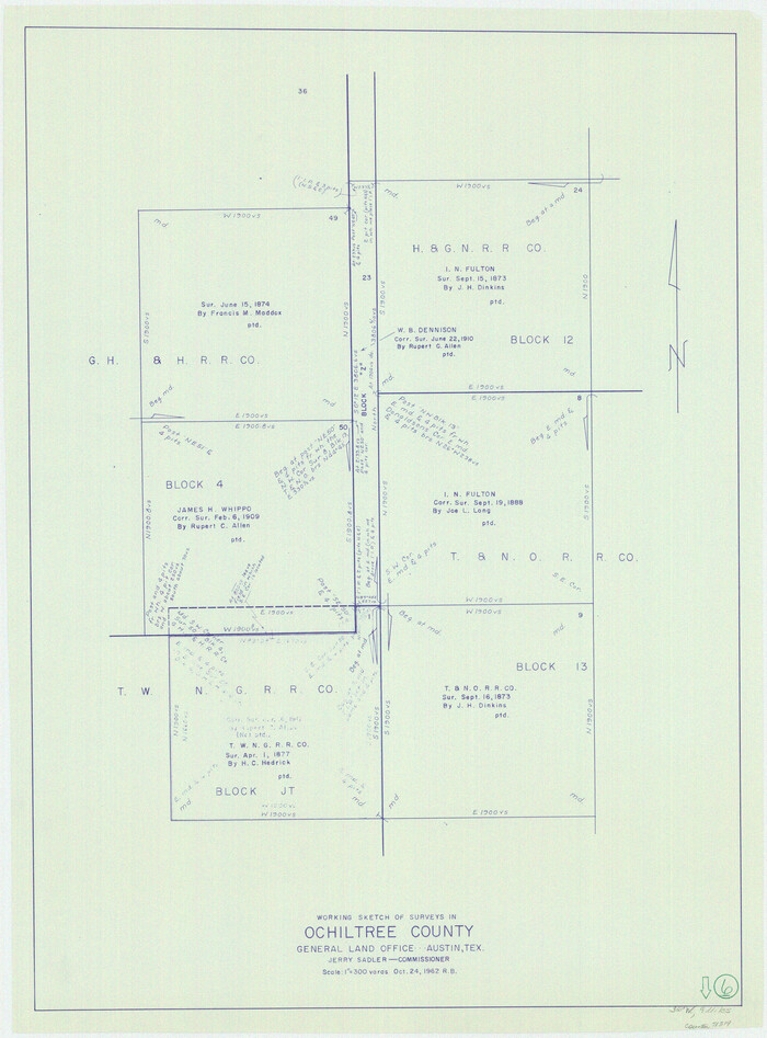

Print $20.00
- Digital $50.00
Ochiltree County Working Sketch 6
1962
Size 31.1 x 22.9 inches
Map/Doc 71319
Nueces County Sketch File 55


Print $16.00
- Digital $50.00
Nueces County Sketch File 55
1999
Size 11.3 x 8.8 inches
Map/Doc 32867
La Salle County Rolled Sketch 23
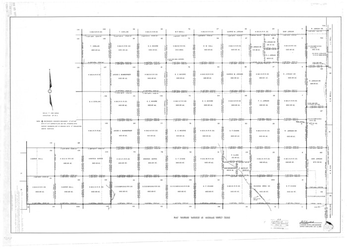

Print $40.00
- Digital $50.00
La Salle County Rolled Sketch 23
1956
Size 34.5 x 48.0 inches
Map/Doc 9559
[Sketch highlighting Bob Reid and Fred Turner surveys]
![91692, [Sketch highlighting Bob Reid and Fred Turner surveys], Twichell Survey Records](https://historictexasmaps.com/wmedia_w700/maps/91692-1.tif.jpg)
![91692, [Sketch highlighting Bob Reid and Fred Turner surveys], Twichell Survey Records](https://historictexasmaps.com/wmedia_w700/maps/91692-1.tif.jpg)
Print $2.00
- Digital $50.00
[Sketch highlighting Bob Reid and Fred Turner surveys]
Size 5.9 x 7.6 inches
Map/Doc 91692
Webb County Sketch File 10-2
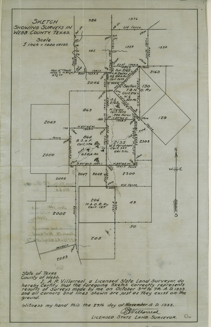

Print $10.00
- Digital $50.00
Webb County Sketch File 10-2
1933
Size 16.9 x 10.9 inches
Map/Doc 39766
Goliad County Working Sketch 20
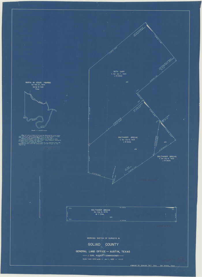

Print $20.00
- Digital $50.00
Goliad County Working Sketch 20
1955
Size 31.4 x 22.8 inches
Map/Doc 63210
Edwards County Sketch File 30


Print $10.00
- Digital $50.00
Edwards County Sketch File 30
1920
Size 6.5 x 8.9 inches
Map/Doc 21757
Robertson County Working Sketch 6
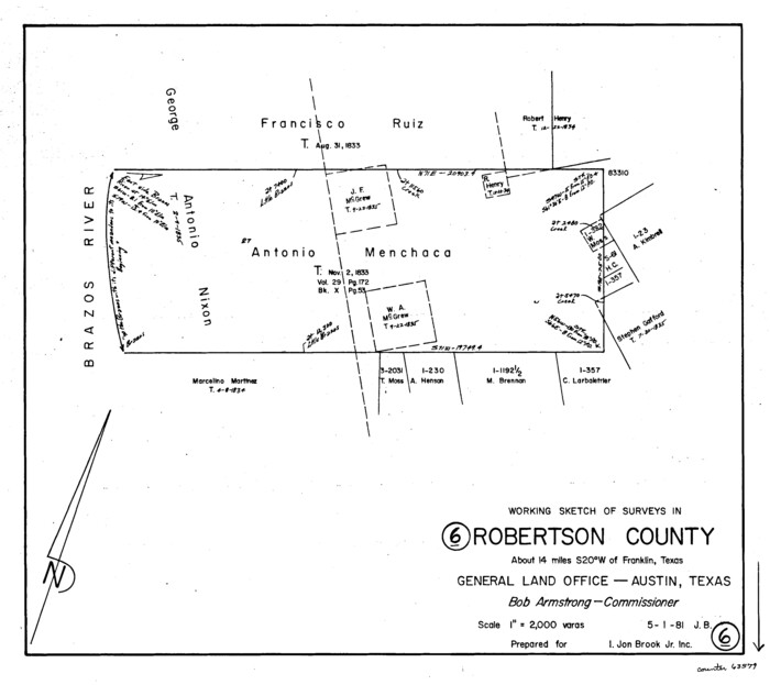

Print $20.00
- Digital $50.00
Robertson County Working Sketch 6
1981
Size 14.1 x 15.9 inches
Map/Doc 63579
Topographical Map of the country between San Antonio & Colorado Rivers in the State of Texas.
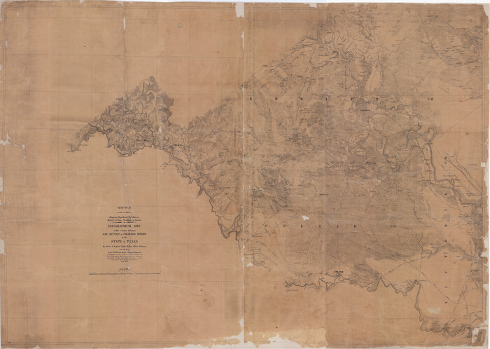

Print $40.00
Topographical Map of the country between San Antonio & Colorado Rivers in the State of Texas.
1864
Size 53.2 x 74.8 inches
Map/Doc 88606
Tom Green County Sketch File 37


Print $2.00
- Digital $50.00
Tom Green County Sketch File 37
Size 9.4 x 8.5 inches
Map/Doc 38195
Reeves County Sketch File 17


Print $40.00
- Digital $50.00
Reeves County Sketch File 17
1943
Size 9.9 x 19.4 inches
Map/Doc 35208
![37, [Surveys along the Cibolo, Balcones and Leon Creeks], General Map Collection](https://historictexasmaps.com/wmedia_w1800h1800/maps/37.tif.jpg)
