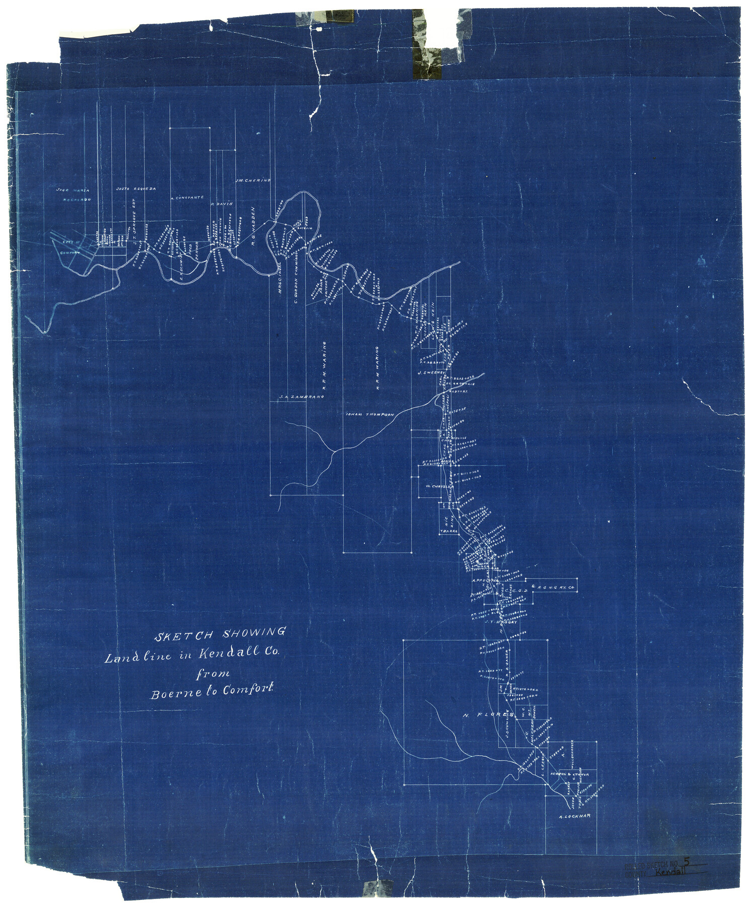
Kendall County Rolled Sketch 5
Sketch showing Landline in Kendall Co. from Boerne to Comfort
- 
                          Map/Doc
6458
 - 
                            Collection
General Map Collection
 - 
                            Counties
Kendall
 - 
                            Subjects
Surveying Rolled Sketch
 - 
                            Height x Width
23.4 x 19.3 inches
59.4 x 49.0 cm
 - 
                            Medium
blueprint/diazo
 
Part of: General Map Collection
            Starr County Working Sketch 29


                                            Print $20.00                    
                                             -                         Digital $50.00                                    
                Starr County Working Sketch 29
2007
Size 28.6 x 34.0 inches
                                Map/Doc 87208
            
            PSL Field Notes for Block 54 1/2 in Culberson and Hudspeth Counties, and Blocks 44, 45 1/2, 46, 47 1/2, 48, 49, 50, 51, 52 1/2, 53 1/2, 55 1/2, 56, and 57 in Hudspeth County


            PSL Field Notes for Block 54 1/2 in Culberson and Hudspeth Counties, and Blocks 44, 45 1/2, 46, 47 1/2, 48, 49, 50, 51, 52 1/2, 53 1/2, 55 1/2, 56, and 57 in Hudspeth County
Map/Doc 81661
            
            Hamilton County Boundary File 1a


                                            Print $40.00                    
                                             -                         Digital $50.00                                    
                Hamilton County Boundary File 1a
Size 36.1 x 8.6 inches
                                Map/Doc 54193
            
            Hays County Working Sketch 18


                                            Print $20.00                    
                                             -                         Digital $50.00                                    
                Hays County Working Sketch 18
1978
Size 33.4 x 32.0 inches
                                Map/Doc 66092
            
            Lamar County State Real Property Sketch 1


                                            Print $40.00                    
                                             -                         Digital $50.00                                    
                Lamar County State Real Property Sketch 1
2013
Size 48.0 x 36.0 inches
                                Map/Doc 93662
            
            Webb County Working Sketch 77


                                            Print $20.00                    
                                             -                         Digital $50.00                                    
                Webb County Working Sketch 77
1976
Size 25.8 x 26.1 inches
                                Map/Doc 72444
            
            Frio County Working Sketch 26


                                            Print $20.00                    
                                             -                         Digital $50.00                                    
                Frio County Working Sketch 26
2001
Size 38.0 x 42.7 inches
                                Map/Doc 69300
            
            Val Verde County Working Sketch 49


                                            Print $20.00                    
                                             -                         Digital $50.00                                    
                Val Verde County Working Sketch 49
1949
Size 26.7 x 41.9 inches
                                Map/Doc 72184
            
            Wilson County Boundary File 2


                                            Print $10.00                    
                                             -                         Digital $50.00                                    
                Wilson County Boundary File 2
Size 12.3 x 8.3 inches
                                Map/Doc 60078
            
            Coleman County Sketch File 3


                                            Print $4.00                    
                                             -                         Digital $50.00                                    
                Coleman County Sketch File 3
1857
Size 9.5 x 8.1 inches
                                Map/Doc 18670
            
            Wise County Sketch File 51


                                            Print $2.00                    
                                             -                         Digital $50.00                                    
                Wise County Sketch File 51
Size 8.5 x 3.9 inches
                                Map/Doc 40618
            You may also like
            Travis County Sketch File 46


                                            Print $20.00                    
                                             -                         Digital $50.00                                    
                Travis County Sketch File 46
1939
Size 21.0 x 21.2 inches
                                Map/Doc 12468
            
            [Map of Lt. Brulls scout in Haskell, Throckmorton, Jones and Shackelford Counties]


                                            Print $3.00                    
                                             -                         Digital $50.00                                    
                [Map of Lt. Brulls scout in Haskell, Throckmorton, Jones and Shackelford Counties]
1873
Size 10.1 x 11.9 inches
                                Map/Doc 65399
            
            Comanche County Sketch File 14


                                            Print $4.00                    
                                             -                         Digital $50.00                                    
                Comanche County Sketch File 14
1859
Size 8.4 x 12.9 inches
                                Map/Doc 19078
            
            Tourists' Handbook Descriptive of Colorado, New Mexico and Utah


            Tourists' Handbook Descriptive of Colorado, New Mexico and Utah
1898
Size 9.4 x 6.4 inches
                                Map/Doc 97075
            
            Willacy County Aerial Photograph Index Sheet 1


                                            Print $20.00                    
                                             -                         Digital $50.00                                    
                Willacy County Aerial Photograph Index Sheet 1
1940
Size 24.3 x 20.2 inches
                                Map/Doc 83756
            
            Tom Green County Sketch File 51


                                            Print $20.00                    
                                             -                         Digital $50.00                                    
                Tom Green County Sketch File 51
1884
Size 44.0 x 27.5 inches
                                Map/Doc 10403
            
            PSL Field Notes for Blocks C38 and C39 in Dawson and Terry Counties, and Block C41 in Dawson, Lynn, and Terry Counties


            PSL Field Notes for Blocks C38 and C39 in Dawson and Terry Counties, and Block C41 in Dawson, Lynn, and Terry Counties
Map/Doc 81650
            
            [Three-Marine League line stipulation as determined by US Supreme Court, October 1968 term; corrections to stipulation; Texas GLO approximations of county areas embraced by county boundaries, shoreline and 3-marine league line and 3-mile line]


                                            Print $64.00                    
                                    
                [Three-Marine League line stipulation as determined by US Supreme Court, October 1968 term; corrections to stipulation; Texas GLO approximations of county areas embraced by county boundaries, shoreline and 3-marine league line and 3-mile line]
1962
Size 13.4 x 8.7 inches
                                Map/Doc 61371
            
            King County Boundary File 2


                                            Print $54.00                    
                                             -                         Digital $50.00                                    
                King County Boundary File 2
Size 8.8 x 7.7 inches
                                Map/Doc 64887
            
            Aransas County Sketch File 31


                                            Print $46.00                    
                                             -                         Digital $50.00                                    
                Aransas County Sketch File 31
1919
Size 14.2 x 8.7 inches
                                Map/Doc 13274
            
            Map of Stephens County, Texas


                                            Print $20.00                    
                                    
                Map of Stephens County, Texas
1870
Size 24.0 x 19.3 inches
                                Map/Doc 93588