[San Antonio & Aransas Pass Railway Co.]
Z-2-66
-
Map/Doc
64262
-
Collection
General Map Collection
-
Counties
Bexar Kendall
-
Subjects
Railroads
-
Height x Width
15.7 x 86.4 inches
39.9 x 219.5 cm
-
Medium
blueprint/diazo
-
Scale
1000 ft = 1 inch
-
Comments
See counter nos. 64261 and 64262 for other sheets.
-
Features
Waring
Guadalupe River
SA&AP
Joshua Creek
Dry Creek
Welfare
Spanish Pass
Cibolo River
Boerne
Part of: General Map Collection
Chambers County Sketch File 51


Print $35.00
- Digital $50.00
Chambers County Sketch File 51
1935
Size 14.3 x 9.0 inches
Map/Doc 18068
Flight Mission No. CRC-4R, Frame 95, Chambers County
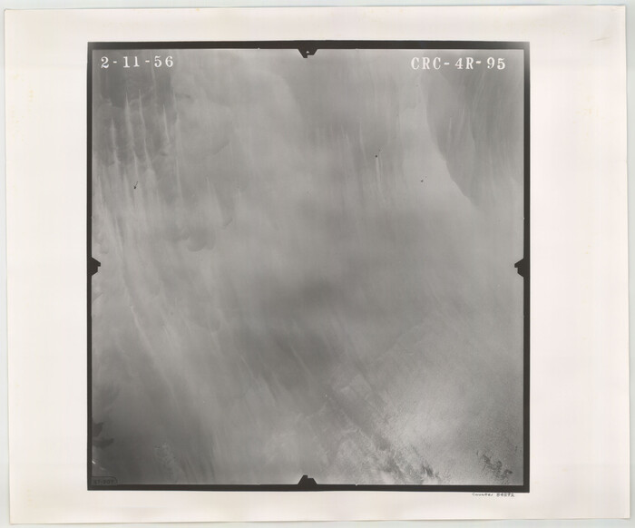

Print $20.00
- Digital $50.00
Flight Mission No. CRC-4R, Frame 95, Chambers County
1956
Size 18.6 x 22.3 inches
Map/Doc 84892
Caldwell County Working Sketch 4


Print $20.00
- Digital $50.00
Caldwell County Working Sketch 4
1922
Size 46.1 x 43.5 inches
Map/Doc 67834
Pecos County Rolled Sketch 165
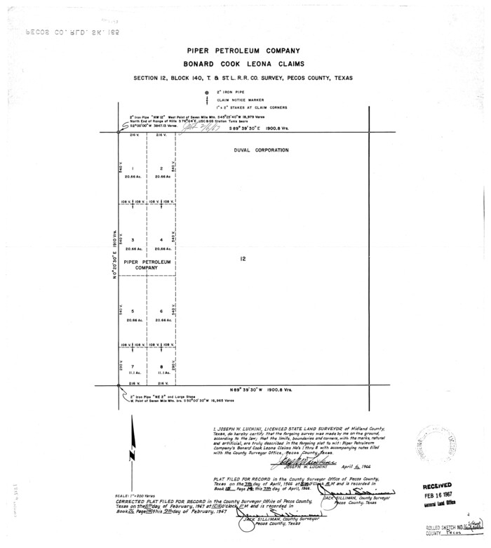

Print $20.00
- Digital $50.00
Pecos County Rolled Sketch 165
1966
Size 20.6 x 18.5 inches
Map/Doc 7289
A sketch of surveys made on the coast east of Bolivar Point
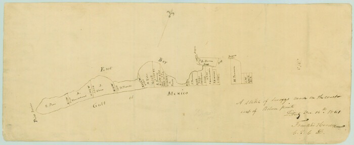

Print $20.00
- Digital $50.00
A sketch of surveys made on the coast east of Bolivar Point
1841
Size 9.1 x 22.0 inches
Map/Doc 22
Grayson County Sketch File 10


Print $4.00
- Digital $50.00
Grayson County Sketch File 10
1851
Size 12.1 x 7.9 inches
Map/Doc 24474
Edwards County Rolled Sketch 8
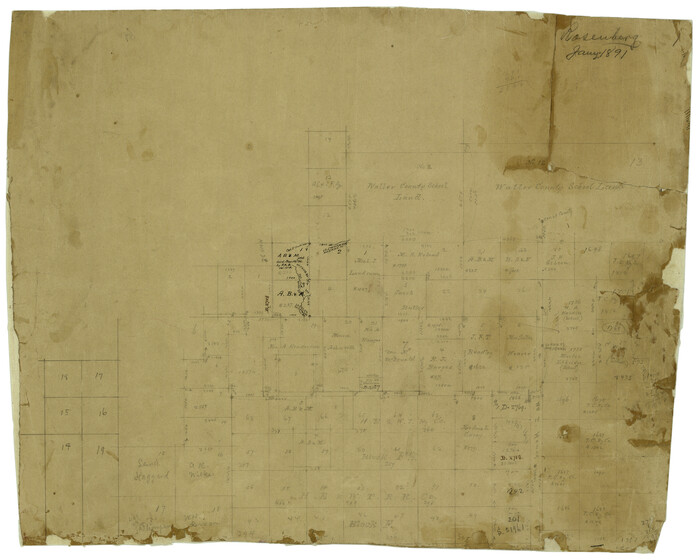

Print $20.00
- Digital $50.00
Edwards County Rolled Sketch 8
1891
Size 16.0 x 18.7 inches
Map/Doc 5801
Van Zandt County Sketch File 30
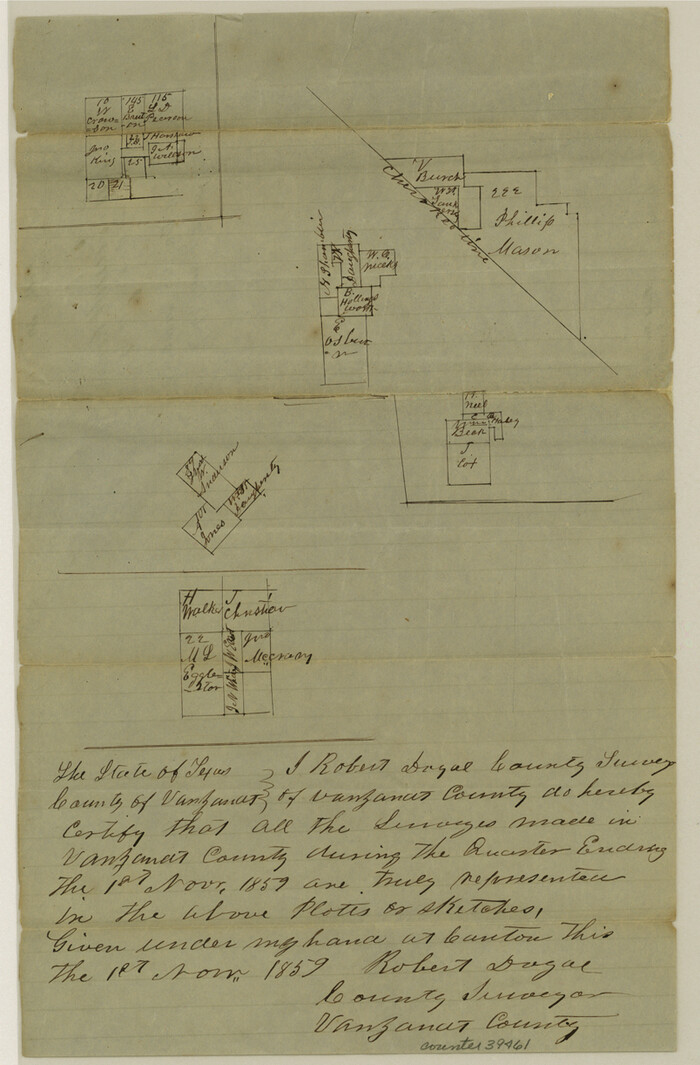

Print $4.00
- Digital $50.00
Van Zandt County Sketch File 30
1859
Size 12.2 x 8.0 inches
Map/Doc 39461
Kleberg County
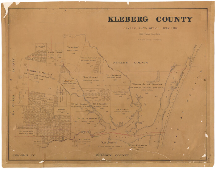

Print $20.00
- Digital $50.00
Kleberg County
1913
Size 25.6 x 32.8 inches
Map/Doc 1878
Map of the State of Texas from the most recent authorities
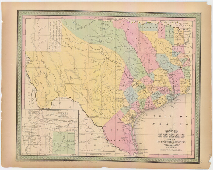

Print $20.00
- Digital $50.00
Map of the State of Texas from the most recent authorities
1850
Size 13.8 x 17.3 inches
Map/Doc 89251
Johnson County Working Sketch 15


Print $20.00
- Digital $50.00
Johnson County Working Sketch 15
1974
Size 21.6 x 23.8 inches
Map/Doc 66628
Pecos County Rolled Sketch 57
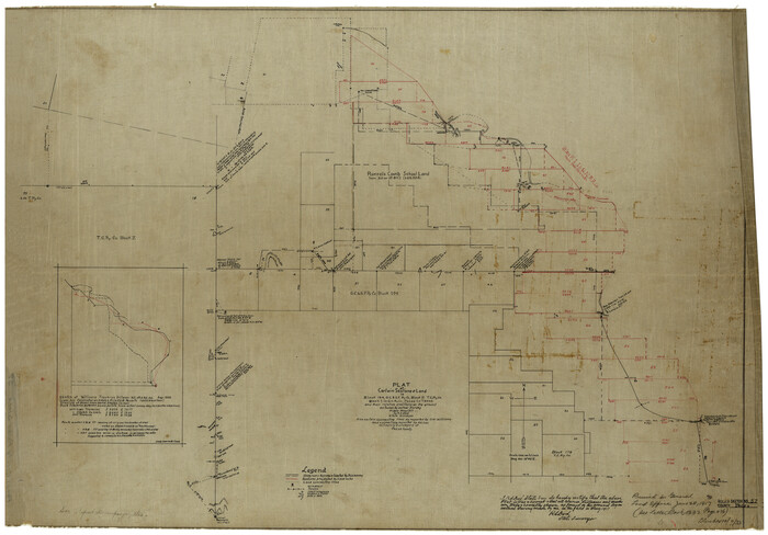

Print $20.00
- Digital $50.00
Pecos County Rolled Sketch 57
1917
Size 24.8 x 35.6 inches
Map/Doc 7230
You may also like
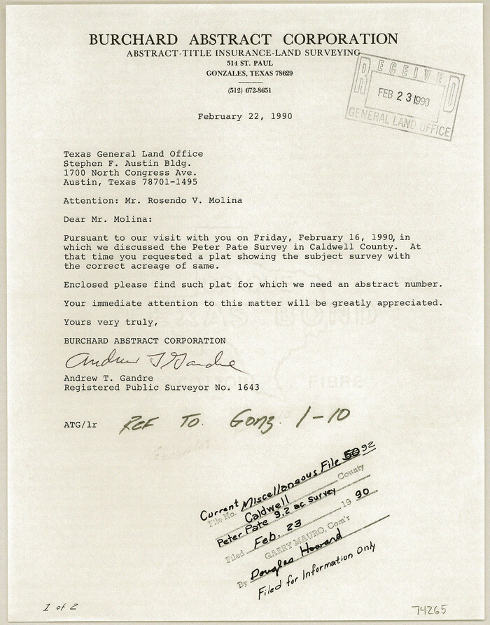
Current Miscellaneous File 92

Print $22.00
- Digital $50.00
Current Miscellaneous File 92
1990
Size 11.2 x 8.8 inches
Map/Doc 74265
Shackelford County Rolled Sketch 6


Print $20.00
- Digital $50.00
Shackelford County Rolled Sketch 6
1998
Size 24.1 x 35.9 inches
Map/Doc 7774
Sterling County Sketch File 22

Print $4.00
- Digital $50.00
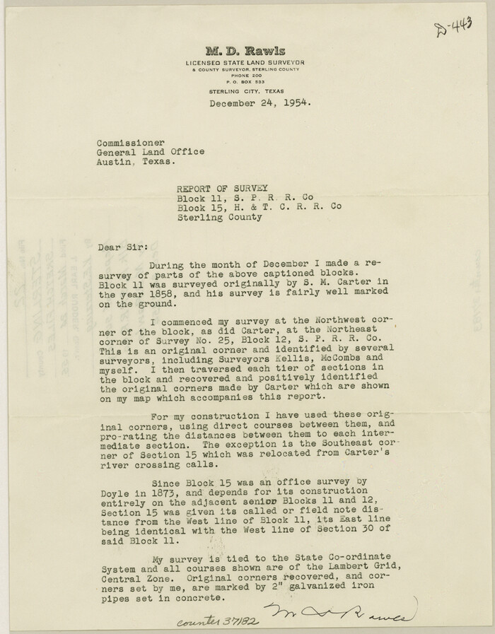
Sterling County Sketch File 22
1954
Size 11.2 x 8.7 inches
Map/Doc 37182
[Blocks B-19, B-29, 34 and 5]
![91846, [Blocks B-19, B-29, 34 and 5], Twichell Survey Records](https://historictexasmaps.com/wmedia_w700/maps/91846-1.tif.jpg)
![91846, [Blocks B-19, B-29, 34 and 5], Twichell Survey Records](https://historictexasmaps.com/wmedia_w700/maps/91846-1.tif.jpg)
Print $20.00
- Digital $50.00
[Blocks B-19, B-29, 34 and 5]
1902
Size 12.2 x 16.4 inches
Map/Doc 91846
Crockett County Rolled Sketch 58


Print $20.00
- Digital $50.00
Crockett County Rolled Sketch 58
Size 19.0 x 32.8 inches
Map/Doc 5600
Cass County Working Sketch 25


Print $20.00
- Digital $50.00
Cass County Working Sketch 25
1974
Size 46.5 x 35.8 inches
Map/Doc 67928
The Sunshine Special - Quickest of 'em all - Hosuton to St. Louis leaves Houston 12:45 p.m. San Antonio 9 a.m.


Print $20.00
- Digital $50.00
The Sunshine Special - Quickest of 'em all - Hosuton to St. Louis leaves Houston 12:45 p.m. San Antonio 9 a.m.
1925
Size 9.0 x 7.7 inches
Map/Doc 95780
Jefferson County Rolled Sketch 53


Print $20.00
- Digital $50.00
Jefferson County Rolled Sketch 53
1969
Size 33.0 x 34.0 inches
Map/Doc 9309
Webb County Sketch File 62

Print $6.00
- Digital $50.00
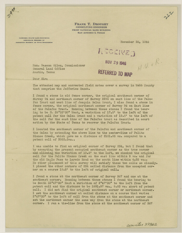
Webb County Sketch File 62
1946
Size 11.5 x 9.0 inches
Map/Doc 39862
Revised Map of Jefferson County Texas

Print $20.00
- Digital $50.00
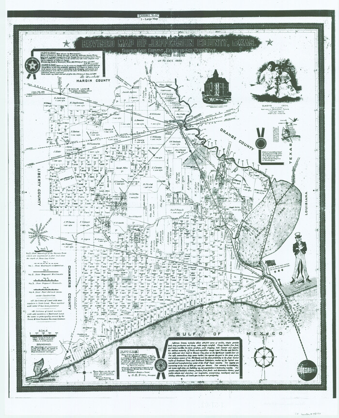
Revised Map of Jefferson County Texas
1898
Size 30.1 x 24.5 inches
Map/Doc 78177
Erath County Sketch File 35


Print $8.00
- Digital $50.00
Erath County Sketch File 35
1992
Size 14.5 x 8.8 inches
Map/Doc 22326
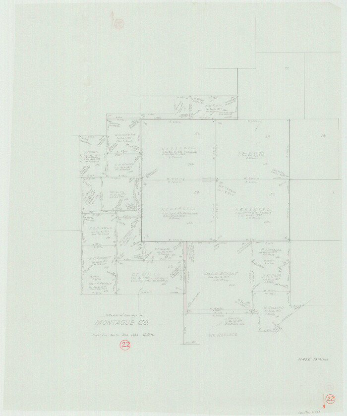
Montague County Working Sketch 22

Print $20.00
- Digital $50.00
Montague County Working Sketch 22
1952
Size 29.5 x 24.6 inches
Map/Doc 71088
![64262, [San Antonio & Aransas Pass Railway Co.], General Map Collection](https://historictexasmaps.com/wmedia_w1800h1800/maps/64262-1.tif.jpg)