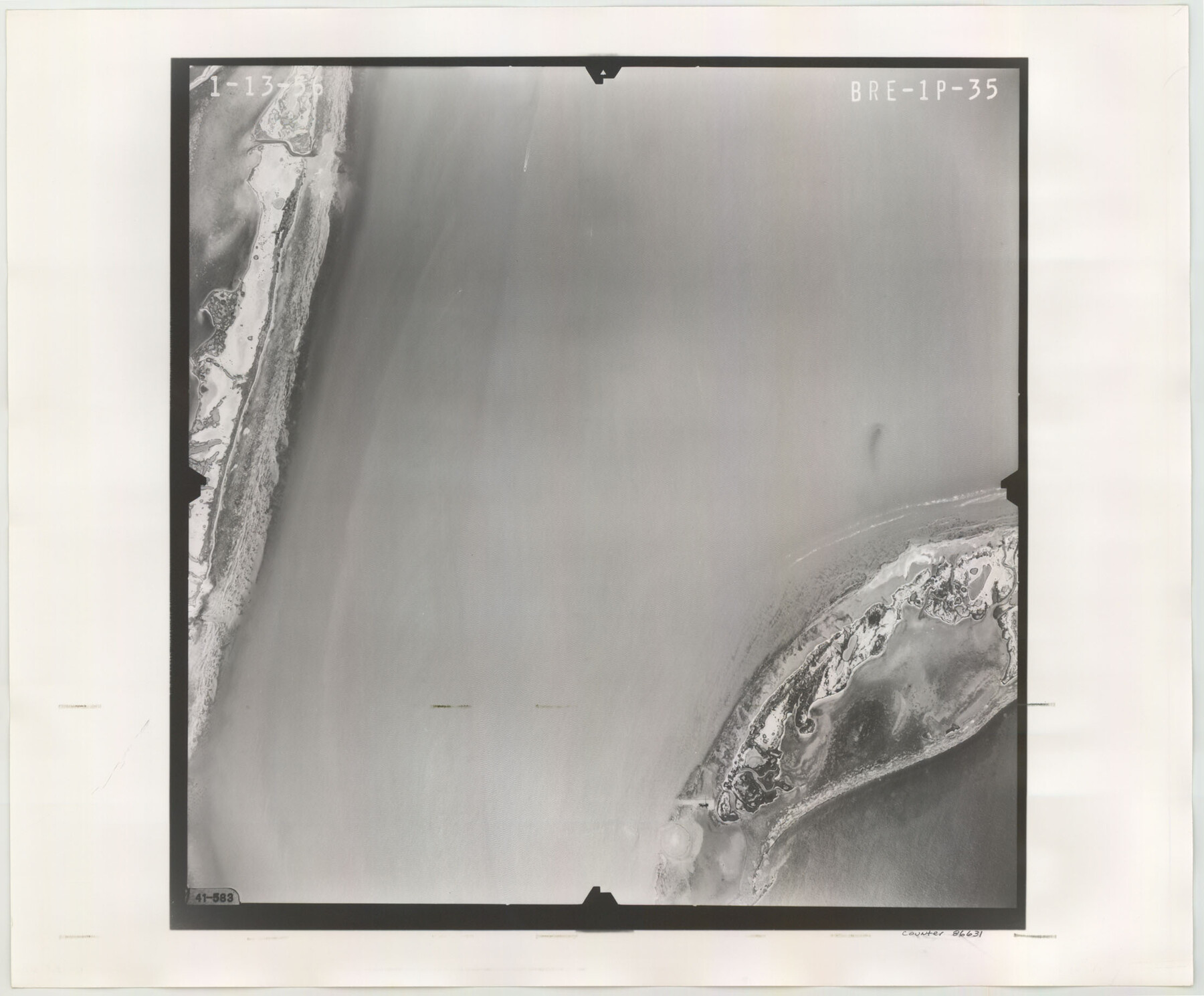
Flight Mission No. BRE-1P, Frame 35, Nueces County
BRE-1P-35
-
Map/Doc
86631
-
Collection
General Map Collection
-
Object Dates
1956/1/13 (Creation Date)
-
People and Organizations
U. S. Department of Agriculture (Publisher)
-
Counties
Nueces
-
Subjects
Aerial Photograph
-
Height x Width
18.4 x 22.2 inches
46.7 x 56.4 cm
-
Comments
Flown by V. L. Beavers and Associates of San Antonio, Texas.
Part of: General Map Collection
La Salle County Working Sketch 20

Print $20.00
- Digital $50.00
La Salle County Working Sketch 20
1941
Size 23.7 x 29.9 inches
Map/Doc 70321
Comanche County Sketch File 22b

Print $40.00
- Digital $50.00
Comanche County Sketch File 22b
1872
Size 12.1 x 14.8 inches
Map/Doc 19109
Duval County Rolled Sketch Pressly No. 1A

Print $20.00
- Digital $50.00
Duval County Rolled Sketch Pressly No. 1A
1935
Size 25.4 x 37.6 inches
Map/Doc 5769
Nautical Chart 885-SC Intracoastal Waterway - Ellender to Galveston Bay, Louisiana-Texas

Print $40.00
- Digital $50.00
Nautical Chart 885-SC Intracoastal Waterway - Ellender to Galveston Bay, Louisiana-Texas
1972
Size 16.4 x 60.1 inches
Map/Doc 69835
Garza County Working Sketch 9

Print $20.00
- Digital $50.00
Garza County Working Sketch 9
1952
Size 15.7 x 18.0 inches
Map/Doc 63156

Motley County Sketch File 38 (N)

Print $106.00
- Digital $50.00
Motley County Sketch File 38 (N)
1910
Size 14.4 x 8.8 inches
Map/Doc 32086
Edwards County Working Sketch 54

Print $20.00
- Digital $50.00
Edwards County Working Sketch 54
1951
Size 19.2 x 28.5 inches
Map/Doc 68930
Sterling County Sketch File 17a

Print $20.00
- Digital $50.00
Sterling County Sketch File 17a
Size 42.8 x 31.6 inches
Map/Doc 10609
Ft. W. & R. G. Ry. Right of Way Map, Chapin to Bluffdale, Hood County, Texas

Print $40.00
- Digital $50.00
Ft. W. & R. G. Ry. Right of Way Map, Chapin to Bluffdale, Hood County, Texas
1918
Size 37.3 x 120.2 inches
Map/Doc 64642
[Atchison, Topeka & Santa Fe from Paisano to south of Plata]
![64712, [Atchison, Topeka & Santa Fe from Paisano to south of Plata], General Map Collection](https://historictexasmaps.com/wmedia_w700/maps/64712-1.tif.jpg)
Print $40.00
- Digital $50.00
[Atchison, Topeka & Santa Fe from Paisano to south of Plata]
Size 32.3 x 121.5 inches
Map/Doc 64712
Flight Mission No. CUG-2P, Frame 24, Kleberg County

Print $20.00
- Digital $50.00
Flight Mission No. CUG-2P, Frame 24, Kleberg County
1956
Size 18.4 x 22.3 inches
Map/Doc 86188
You may also like
Harris County Working Sketch 75

Print $20.00
- Digital $50.00
Harris County Working Sketch 75
1964
Size 29.7 x 32.3 inches
Map/Doc 65967
Gillespie County Rolled Sketch 10

Print $3.00
- Digital $50.00
Gillespie County Rolled Sketch 10
2017
Size 16.1 x 10.7 inches
Map/Doc 94413
Matagorda County NRC Article 33.136 Sketch 23

Print $76.00
Matagorda County NRC Article 33.136 Sketch 23
2025
Map/Doc 97502

Val Verde County Rolled Sketch 72

Print $20.00
- Digital $50.00
Val Verde County Rolled Sketch 72
Size 15.2 x 28.5 inches
Map/Doc 8134
Kimble County Working Sketch 33

Print $20.00
- Digital $50.00
Kimble County Working Sketch 33
1945
Size 29.8 x 29.2 inches
Map/Doc 70101
[Map of Lt. Brulls scout in Haskell, Throckmorton, Jones and Shackelford Counties]
![65399, [Map of Lt. Brulls scout in Haskell, Throckmorton, Jones and Shackelford Counties], General Map Collection](https://historictexasmaps.com/wmedia_w700/maps/65399-1.tif.jpg)
Print $3.00
- Digital $50.00
[Map of Lt. Brulls scout in Haskell, Throckmorton, Jones and Shackelford Counties]
1873
Size 10.1 x 11.9 inches
Map/Doc 65399
Upton County Rolled Sketch JSP

Print $40.00
- Digital $50.00
Upton County Rolled Sketch JSP
1937
Size 39.2 x 68.0 inches
Map/Doc 10042
Flight Mission No. CRE-1R, Frame 136, Jackson County

Print $20.00
- Digital $50.00
Flight Mission No. CRE-1R, Frame 136, Jackson County
1956
Size 16.0 x 15.9 inches
Map/Doc 85344
The Republic County of Washington. January 15, 1842

Print $20.00
The Republic County of Washington. January 15, 1842
2020
Size 11.8 x 21.7 inches
Map/Doc 96306
Jefferson County Rolled Sketch 62

Print $40.00
- Digital $50.00
Jefferson County Rolled Sketch 62
1974
Size 78.4 x 43.1 inches
Map/Doc 9318
Denton County Working Sketch 8

Print $20.00
- Digital $50.00
Denton County Working Sketch 8
1959
Size 37.4 x 30.8 inches
Map/Doc 68613