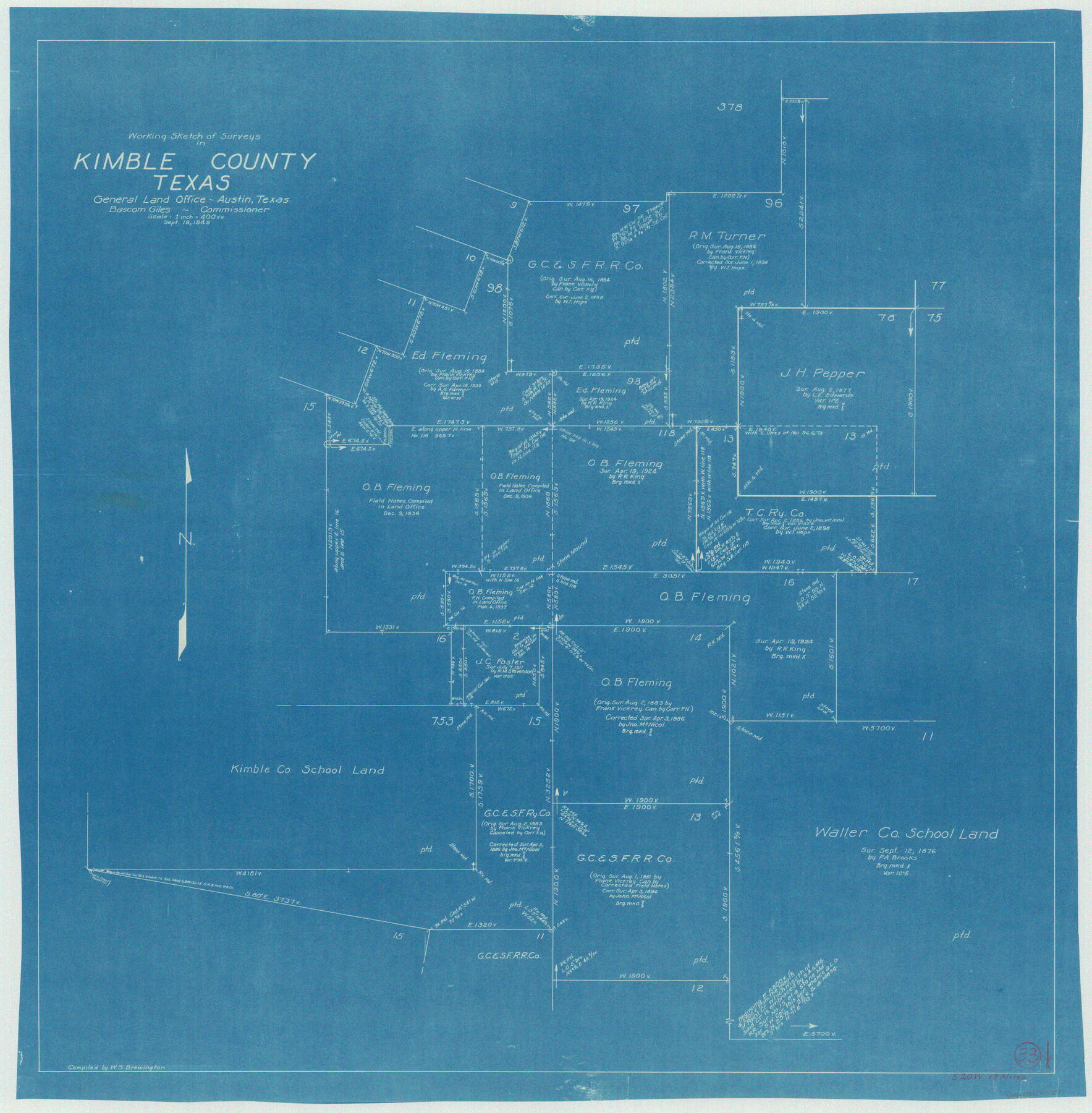
Kimble County Working Sketch 33
-
Map/Doc
70101
-
Collection
General Map Collection
-
Object Dates
9/19/1945 (Creation Date)
-
People and Organizations
W. S. Brewington (Draftsman)
-
Counties
Kimble
-
Subjects
Surveying Working Sketch
-
Height x Width
29.8 x 29.2 inches
75.7 x 74.2 cm
-
Scale
1" = 400 varas
Part of: General Map Collection
Blanco County Rolled Sketch 17

Print $20.00
- Digital $50.00
Blanco County Rolled Sketch 17
Size 18.0 x 23.9 inches
Map/Doc 5153
Lynn County Rolled Sketch B

Print $20.00
- Digital $50.00
Lynn County Rolled Sketch B
1908
Size 27.9 x 33.1 inches
Map/Doc 6653
San Patricio County Rolled Sketch 20

Print $20.00
- Digital $50.00
San Patricio County Rolled Sketch 20
1953
Size 37.6 x 31.9 inches
Map/Doc 7578
Walker County Rolled Sketch 1

Print $20.00
- Digital $50.00
Walker County Rolled Sketch 1
1982
Size 36.3 x 23.6 inches
Map/Doc 8154
Anderson County Rolled Sketch 7

Print $20.00
- Digital $50.00
Anderson County Rolled Sketch 7
1941
Size 42.2 x 44.9 inches
Map/Doc 8364
Maps & Lists Showing Prison Lands (Oil & Gas) Leased as of June 1955

Digital $50.00
Maps & Lists Showing Prison Lands (Oil & Gas) Leased as of June 1955
Size 11.2 x 8.8 inches
Map/Doc 62874
Armstrong County Sketch File A-10

Print $40.00
- Digital $50.00
Armstrong County Sketch File A-10
Size 22.6 x 35.6 inches
Map/Doc 10852
Flight Mission No. DIX-10P, Frame 166, Aransas County

Print $20.00
- Digital $50.00
Flight Mission No. DIX-10P, Frame 166, Aransas County
1956
Size 18.5 x 22.2 inches
Map/Doc 83956
Chambers County Rolled Sketch 18

Print $20.00
- Digital $50.00
Chambers County Rolled Sketch 18
1937
Size 42.9 x 29.0 inches
Map/Doc 5426
Upton County Working Sketch 59

Print $20.00
- Digital $50.00
Upton County Working Sketch 59
1987
Size 21.5 x 34.3 inches
Map/Doc 69556
Winkler County Working Sketch Graphic Index

Print $20.00
- Digital $50.00
Winkler County Working Sketch Graphic Index
1932
Size 36.4 x 36.4 inches
Map/Doc 76744
The Oil and Gas Journal's Oil Map of Texas

Print $20.00
- Digital $50.00
The Oil and Gas Journal's Oil Map of Texas
1938
Size 38.3 x 39.4 inches
Map/Doc 96970
You may also like
Zapata County Sketch File 13

Print $4.00
- Digital $50.00
Zapata County Sketch File 13
1930
Size 11.3 x 8.8 inches
Map/Doc 40952
Roberts County Working Sketch 45

Print $20.00
- Digital $50.00
Roberts County Working Sketch 45
1979
Size 23.7 x 20.0 inches
Map/Doc 63571
Flight Mission No. CRC-5R, Frame 17, Chambers County

Print $20.00
- Digital $50.00
Flight Mission No. CRC-5R, Frame 17, Chambers County
1956
Size 18.8 x 22.5 inches
Map/Doc 84939
Flight Mission No. BRE-1P, Frame 11, Nueces County

Print $20.00
- Digital $50.00
Flight Mission No. BRE-1P, Frame 11, Nueces County
1956
Size 18.6 x 22.6 inches
Map/Doc 86619
Polk County Working Sketch 14

Print $20.00
- Digital $50.00
Polk County Working Sketch 14
1945
Size 32.3 x 37.7 inches
Map/Doc 71629
Jefferson County NRC Article 33.136 Sketch 2

Print $20.00
- Digital $50.00
Jefferson County NRC Article 33.136 Sketch 2
2002
Size 24.3 x 35.9 inches
Map/Doc 77048
Brooks County Boundary File 1

Print $54.00
- Digital $50.00
Brooks County Boundary File 1
Size 9.0 x 8.6 inches
Map/Doc 50809
Andrews County Sketch File 8

Print $36.00
- Digital $50.00
Andrews County Sketch File 8
1943
Size 11.2 x 8.9 inches
Map/Doc 12831
[Surveys on San Antonio River and Aransas Bay area]
![141, [Surveys on San Antonio River and Aransas Bay area], General Map Collection](https://historictexasmaps.com/wmedia_w700/maps/141.tif.jpg)
Print $20.00
- Digital $50.00
[Surveys on San Antonio River and Aransas Bay area]
1840
Size 24.1 x 33.0 inches
Map/Doc 141
W. D. Twichell's and R. S. Hunnicutt's Resurvey in Oldham County, Texas June to November, 1915

Print $40.00
- Digital $50.00
W. D. Twichell's and R. S. Hunnicutt's Resurvey in Oldham County, Texas June to November, 1915
1915
Size 71.2 x 43.1 inches
Map/Doc 89974

Montgomery County Working Sketch 53

Print $20.00
- Digital $50.00
Montgomery County Working Sketch 53
1961
Size 28.2 x 30.2 inches
Map/Doc 71160