[Atchison, Topeka & Santa Fe from Paisano to south of Plata]
Z-2-200
-
Map/Doc
64712
-
Collection
General Map Collection
-
Counties
Presidio
-
Subjects
Railroads
-
Height x Width
32.3 x 121.5 inches
82.0 x 308.6 cm
-
Medium
blueprint/diazo
-
Comments
See 64709 through 64713 for all segments of the map.
-
Features
AT&SF
Tinaja
Part of: General Map Collection
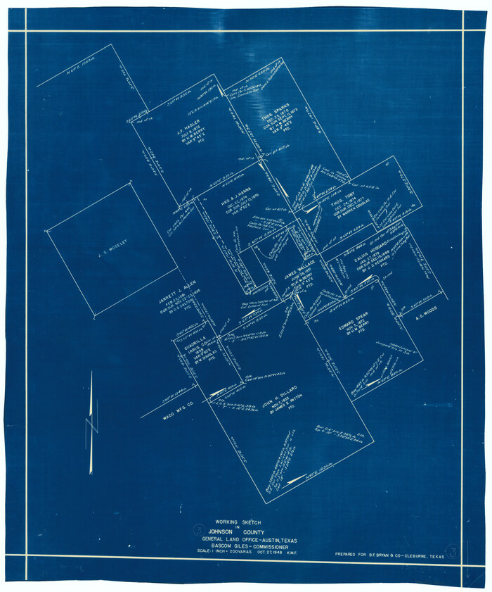
Johnson County Working Sketch 3

Print $20.00
- Digital $50.00
Johnson County Working Sketch 3
1948
Size 29.1 x 24.2 inches
Map/Doc 66616
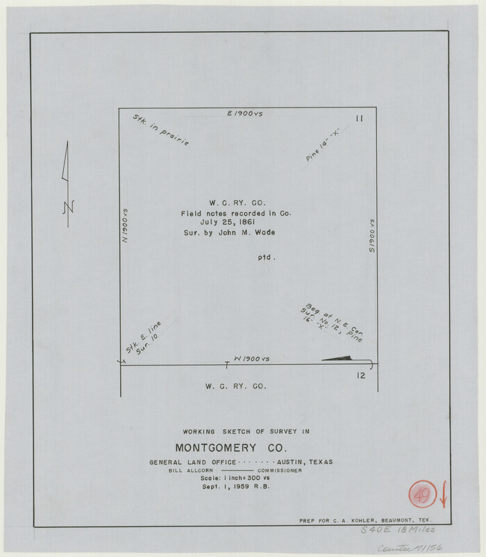
Montgomery County Working Sketch 49

Print $20.00
- Digital $50.00
Montgomery County Working Sketch 49
1959
Size 13.8 x 12.0 inches
Map/Doc 71156
[Right of Way & Track Map, The Texas & Pacific Ry. Co. Main Line]
![64659, [Right of Way & Track Map, The Texas & Pacific Ry. Co. Main Line], General Map Collection](https://historictexasmaps.com/wmedia_w700/maps/64659.tif.jpg)
![64659, [Right of Way & Track Map, The Texas & Pacific Ry. Co. Main Line], General Map Collection](https://historictexasmaps.com/wmedia_w700/maps/64659.tif.jpg)
Print $20.00
- Digital $50.00
[Right of Way & Track Map, The Texas & Pacific Ry. Co. Main Line]
Size 11.0 x 18.4 inches
Map/Doc 64659
Shelby County Rolled Sketch 2

Print $20.00
- Digital $50.00
Shelby County Rolled Sketch 2
Size 20.3 x 30.7 inches
Map/Doc 7775
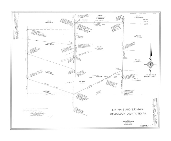
McCulloch County Rolled Sketch 6

Print $20.00
- Digital $50.00
McCulloch County Rolled Sketch 6
1982
Size 27.9 x 33.9 inches
Map/Doc 6717
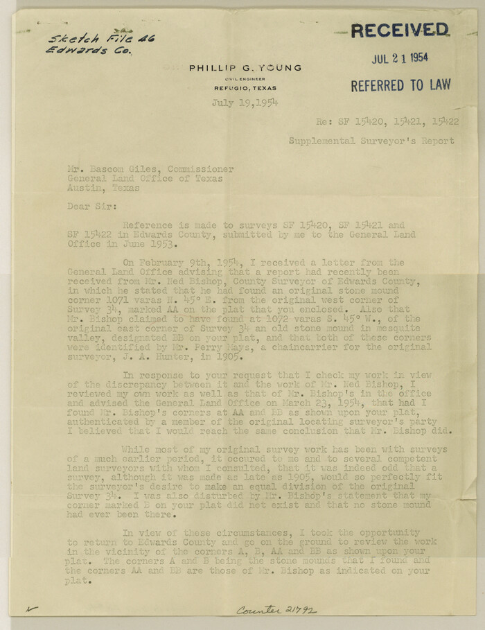
Edwards County Sketch File 46

Print $26.00
- Digital $50.00
Edwards County Sketch File 46
1954
Size 11.3 x 8.7 inches
Map/Doc 21792
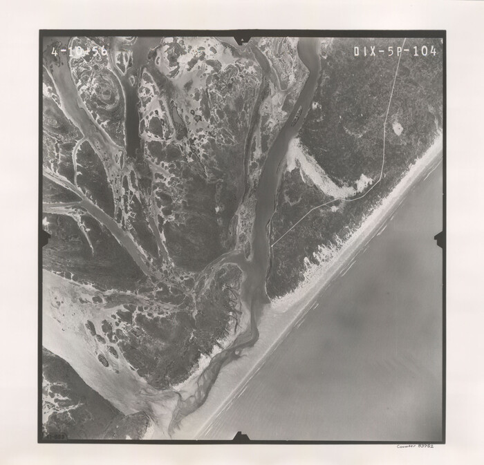
Flight Mission No. DIX-5P, Frame 104, Aransas County

Print $20.00
- Digital $50.00
Flight Mission No. DIX-5P, Frame 104, Aransas County
1956
Size 17.8 x 18.5 inches
Map/Doc 83782
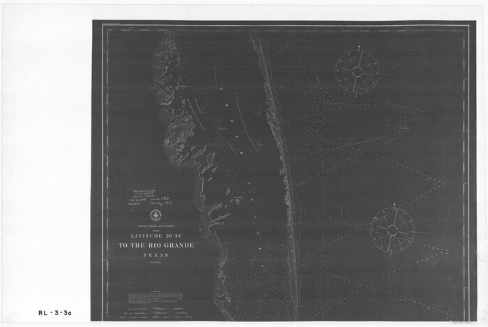
United States - Gulf Coast - From Latitude 26° 33' to the Rio Grande Texas

Print $20.00
- Digital $50.00
United States - Gulf Coast - From Latitude 26° 33' to the Rio Grande Texas
1913
Size 18.5 x 27.6 inches
Map/Doc 72841
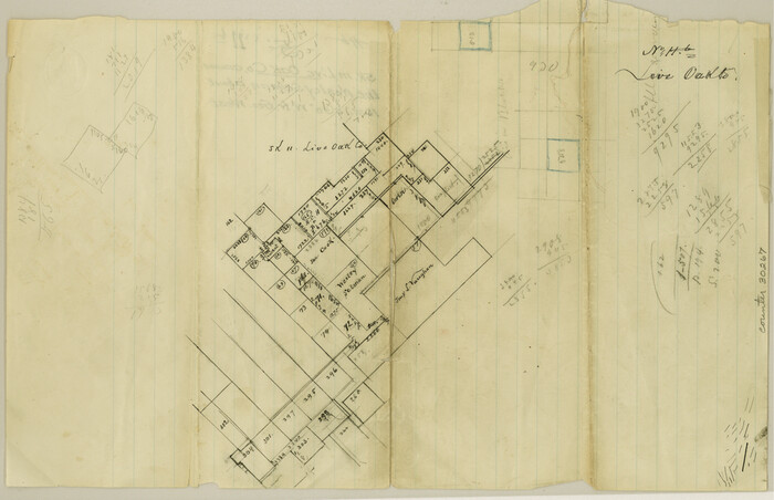
Live Oak County Sketch File 11b

Print $6.00
- Digital $50.00
Live Oak County Sketch File 11b
Size 8.2 x 12.6 inches
Map/Doc 30267
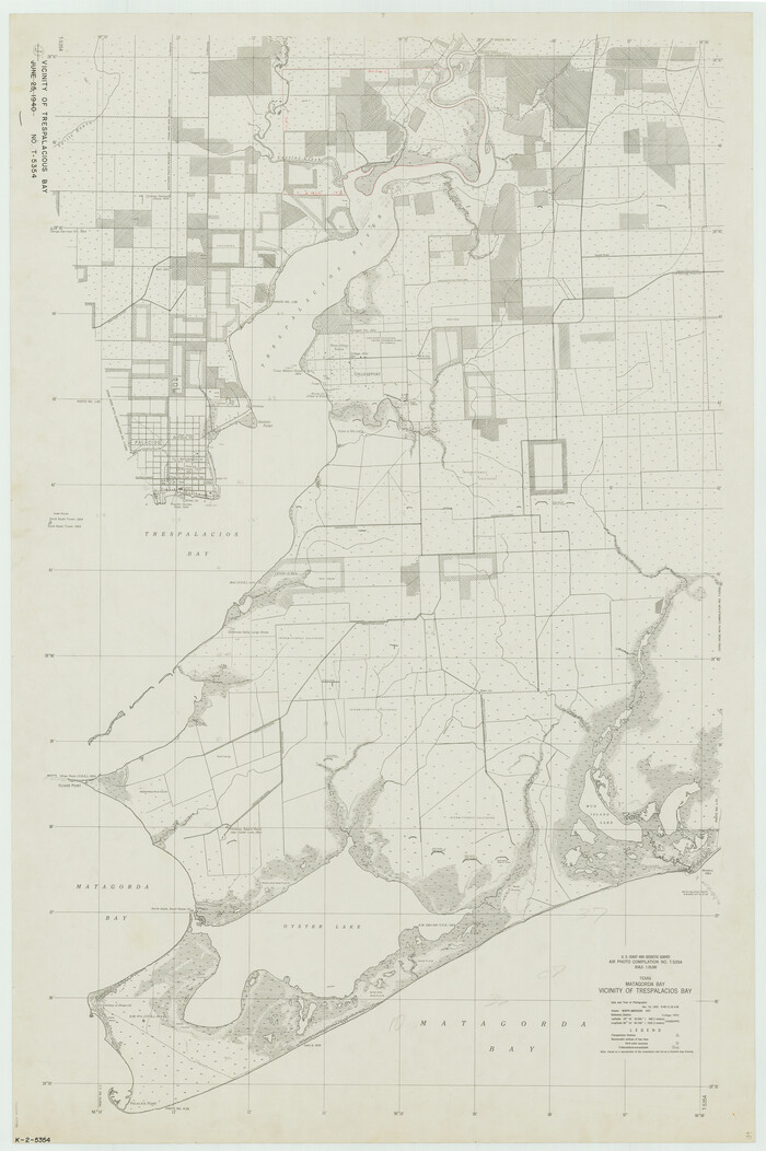
Texas, Matagorda Bay, Vicinity of Trespalacios Bay

Print $40.00
- Digital $50.00
Texas, Matagorda Bay, Vicinity of Trespalacios Bay
1933
Size 49.0 x 32.6 inches
Map/Doc 69988
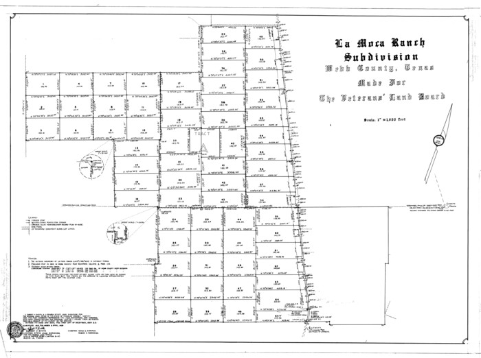
Webb County Rolled Sketch 76

Print $20.00
- Digital $50.00
Webb County Rolled Sketch 76
1959
Size 32.8 x 44.0 inches
Map/Doc 10133
Angelina County Rolled Sketch 4


Print $20.00
- Digital $50.00
Angelina County Rolled Sketch 4
Size 24.9 x 36.9 inches
Map/Doc 77187
You may also like
General Highway Map, Live Oak County, Texas


Print $20.00
General Highway Map, Live Oak County, Texas
1961
Size 18.3 x 24.8 inches
Map/Doc 79575
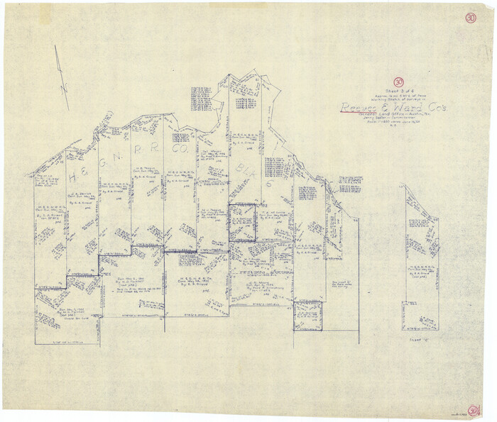
Reeves County Working Sketch 30

Print $20.00
- Digital $50.00
Reeves County Working Sketch 30
1969
Size 31.1 x 36.5 inches
Map/Doc 63473
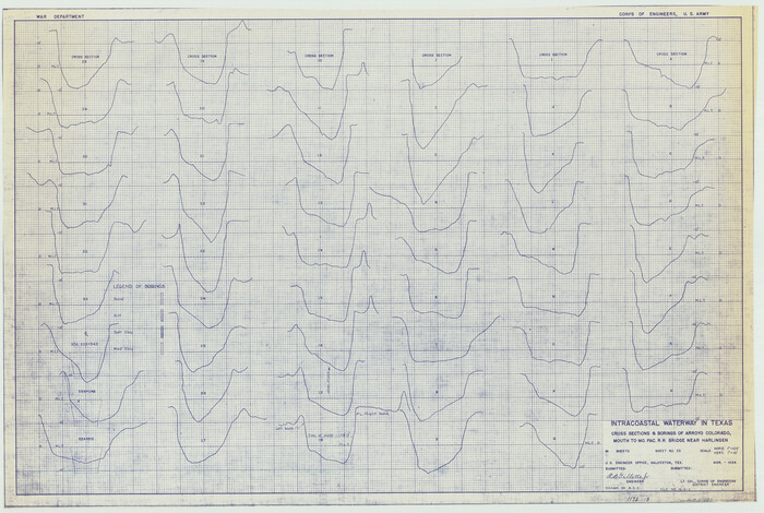
Intracoastal Waterway in Texas - Corpus Christi to Point Isabel including Arroyo Colorado to Mo. Pac. R.R. Bridge Near Harlingen

Print $20.00
- Digital $50.00
Intracoastal Waterway in Texas - Corpus Christi to Point Isabel including Arroyo Colorado to Mo. Pac. R.R. Bridge Near Harlingen
1934
Size 22.0 x 32.7 inches
Map/Doc 61880
Crosby County Rolled Sketch D

Print $20.00
- Digital $50.00
Crosby County Rolled Sketch D
Size 23.9 x 23.6 inches
Map/Doc 5643
Mason County Rolled Sketch 4

Print $20.00
- Digital $50.00
Mason County Rolled Sketch 4
1983
Size 23.3 x 26.9 inches
Map/Doc 6677
Tom Green County Sketch File 55 1/2

Print $20.00
- Digital $50.00
Tom Green County Sketch File 55 1/2
1886
Size 26.4 x 13.6 inches
Map/Doc 12443
Crockett County Working Sketch 39

Print $20.00
- Digital $50.00
Crockett County Working Sketch 39
1928
Size 14.7 x 22.2 inches
Map/Doc 68372
Terrell County Working Sketch 57
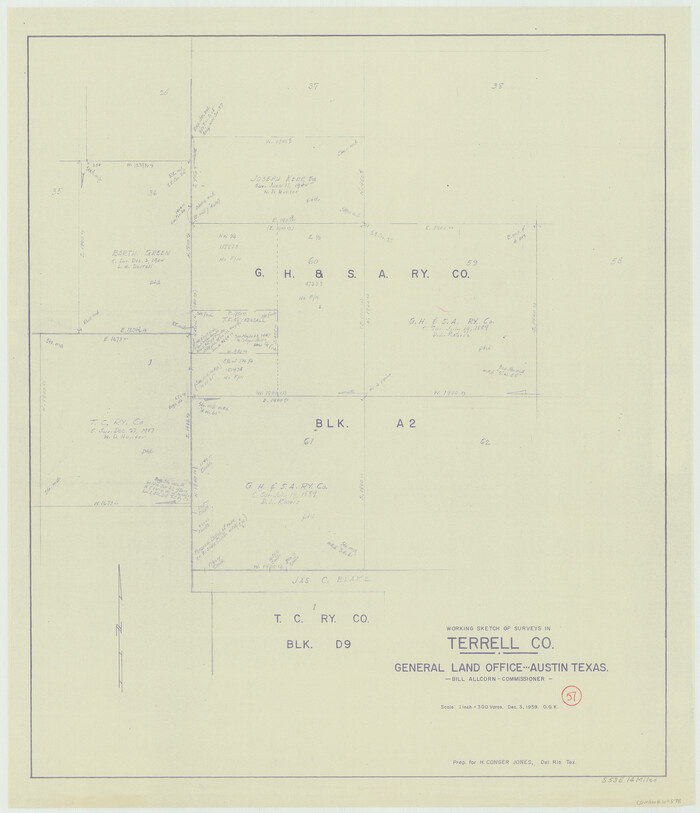

Print $20.00
- Digital $50.00
Terrell County Working Sketch 57
1959
Size 30.0 x 25.8 inches
Map/Doc 69578
Bee County Working Sketch 22


Print $20.00
- Digital $50.00
Bee County Working Sketch 22
1983
Size 37.9 x 37.2 inches
Map/Doc 67272
Map of the United States and Texas Boundary Line and Adjacent Territory
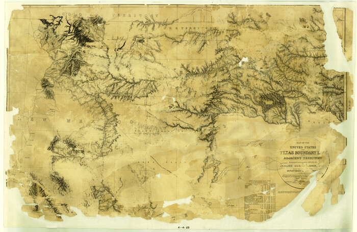

Print $20.00
- Digital $50.00
Map of the United States and Texas Boundary Line and Adjacent Territory
1860
Size 26.9 x 41.4 inches
Map/Doc 2129
A Map of Texas Showing the State Parks and the Municipal Parks


Print $20.00
A Map of Texas Showing the State Parks and the Municipal Parks
1936
Size 34.8 x 37.5 inches
Map/Doc 76311
Cottle County Sketch File 11


Print $40.00
- Digital $50.00
Cottle County Sketch File 11
Size 12.9 x 13.3 inches
Map/Doc 19489
![64712, [Atchison, Topeka & Santa Fe from Paisano to south of Plata], General Map Collection](https://historictexasmaps.com/wmedia_w1800h1800/maps/64712-1.tif.jpg)