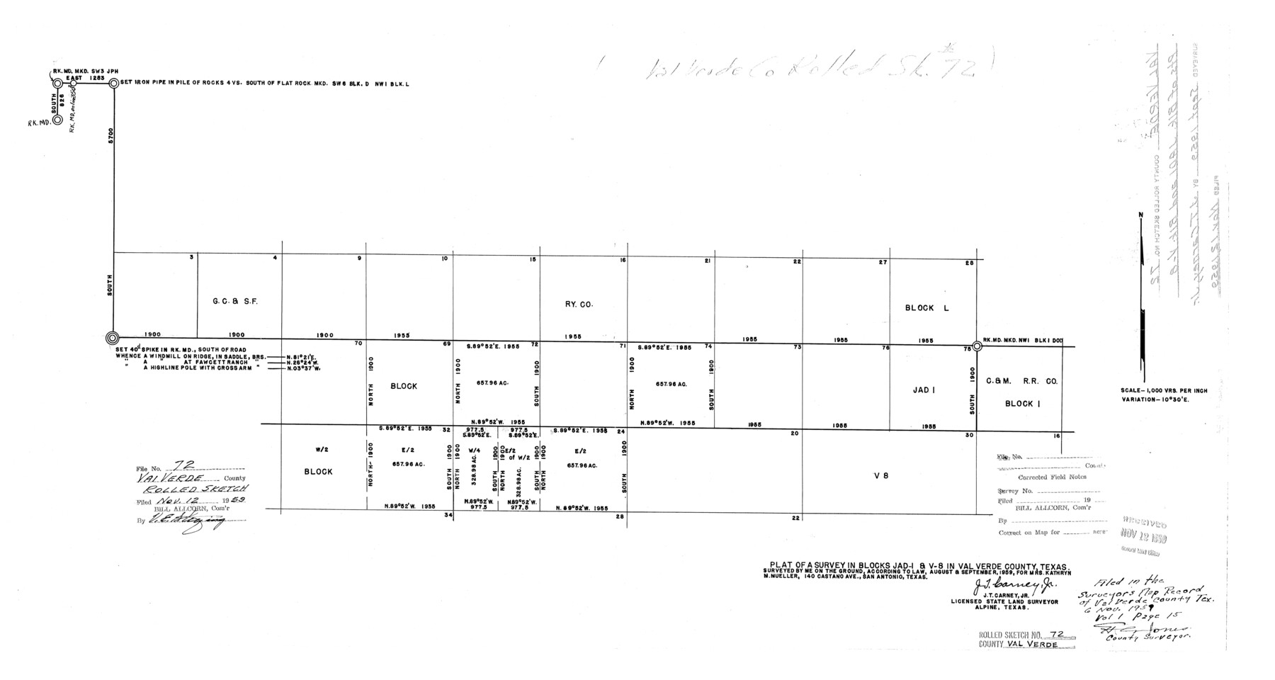
Val Verde County Rolled Sketch 72
Plat of a survey in Blocks JAD-1 & V-8 in Val Verde County, Texas
-
Map/Doc
8134
-
Collection
General Map Collection
-
Object Dates
1959 (Survey Date)
1959/11/12 (File Date)
-
People and Organizations
J.T. Carney, Jr. (Surveyor/Engineer)
-
Counties
Val Verde
-
Subjects
Surveying Rolled Sketch
-
Height x Width
15.2 x 28.5 inches
38.6 x 72.4 cm
-
Scale
1" = 1000 varas
Part of: General Map Collection
Flight Mission No. CLL-3N, Frame 13, Willacy County

Print $20.00
- Digital $50.00
Flight Mission No. CLL-3N, Frame 13, Willacy County
1954
Size 18.4 x 22.1 inches
Map/Doc 87079
Rockwall County Boundary File 75

Print $18.00
- Digital $50.00
Rockwall County Boundary File 75
Size 9.0 x 11.7 inches
Map/Doc 58472
Colorado County Sketch File 14

Print $8.00
- Digital $50.00
Colorado County Sketch File 14
1874
Size 12.8 x 8.0 inches
Map/Doc 18939
Cameron County Rolled Sketch 34

Print $20.00
- Digital $50.00
Cameron County Rolled Sketch 34
2000
Size 24.2 x 35.2 inches
Map/Doc 5397
Edwards County Working Sketch 127

Print $20.00
- Digital $50.00
Edwards County Working Sketch 127
1980
Size 21.0 x 24.1 inches
Map/Doc 69003
Jefferson County Rolled Sketch 46

Print $2.00
- Digital $50.00
Jefferson County Rolled Sketch 46
1969
Size 12.3 x 5.9 inches
Map/Doc 10198
Edwards County Sketch File 11

Print $26.00
- Digital $50.00
Edwards County Sketch File 11
1887
Size 13.7 x 8.8 inches
Map/Doc 21687
Liberty County Sketch File 37a

Print $6.00
- Digital $50.00
Liberty County Sketch File 37a
1895
Size 15.1 x 11.5 inches
Map/Doc 29981
Brazoria County Sketch File 34

Print $4.00
- Digital $50.00
Brazoria County Sketch File 34
Size 14.3 x 8.9 inches
Map/Doc 15041
Angelina County Working Sketch 5

Print $20.00
- Digital $50.00
Angelina County Working Sketch 5
1912
Size 22.0 x 26.2 inches
Map/Doc 67085
Harris County Working Sketch 27

Print $20.00
- Digital $50.00
Harris County Working Sketch 27
1933
Size 36.9 x 43.0 inches
Map/Doc 65919
Flight Mission No. BRA-16M, Frame 122, Jefferson County

Print $20.00
- Digital $50.00
Flight Mission No. BRA-16M, Frame 122, Jefferson County
1953
Size 18.5 x 22.5 inches
Map/Doc 85732
You may also like
[Blocks B12 and 6T]
![91512, [Blocks B12 and 6T], Twichell Survey Records](https://historictexasmaps.com/wmedia_w700/maps/91512-1.tif.jpg)
Print $2.00
- Digital $50.00
[Blocks B12 and 6T]
Size 14.6 x 8.9 inches
Map/Doc 91512
Pecos County Rolled Sketch 184

Print $20.00
- Digital $50.00
Pecos County Rolled Sketch 184
1977
Size 44.4 x 30.0 inches
Map/Doc 7303
Shelby County Rolled Sketch 8

Print $20.00
- Digital $50.00
Shelby County Rolled Sketch 8
Size 40.4 x 45.5 inches
Map/Doc 9923
Polk County Sketch File 30b

Print $4.00
- Digital $50.00
Polk County Sketch File 30b
Size 6.5 x 7.9 inches
Map/Doc 34219
Galveston County NRC Article 33.136 Sketch 100

Print $46.00
Galveston County NRC Article 33.136 Sketch 100
2024
Map/Doc 97423
R. C. Johnson Farm NW Quarter, Section 3

Print $20.00
- Digital $50.00
R. C. Johnson Farm NW Quarter, Section 3
Size 12.3 x 14.9 inches
Map/Doc 92405
Kimble County Working Sketch 2

Print $20.00
- Digital $50.00
Kimble County Working Sketch 2
Size 20.6 x 17.9 inches
Map/Doc 70070
Kent County Boundary File 11

Print $4.00
- Digital $50.00
Kent County Boundary File 11
Size 13.9 x 8.8 inches
Map/Doc 55895
Map of the Reconnaissance in Texas by Lieuts Blake & Meade of the Corps of Topl. Engrs.

Print $20.00
- Digital $50.00
Map of the Reconnaissance in Texas by Lieuts Blake & Meade of the Corps of Topl. Engrs.
1845
Size 27.6 x 18.2 inches
Map/Doc 72894
Dimmit County Sketch File 21a

Print $12.00
- Digital $50.00
Dimmit County Sketch File 21a
1901
Size 8.9 x 7.8 inches
Map/Doc 21123
Oldham County Sketch File 13

Print $40.00
- Digital $50.00
Oldham County Sketch File 13
1902
Size 14.3 x 12.3 inches
Map/Doc 33260
Burnet County Sketch File 18

Print $4.00
- Digital $50.00
Burnet County Sketch File 18
1873
Size 8.3 x 6.5 inches
Map/Doc 16708