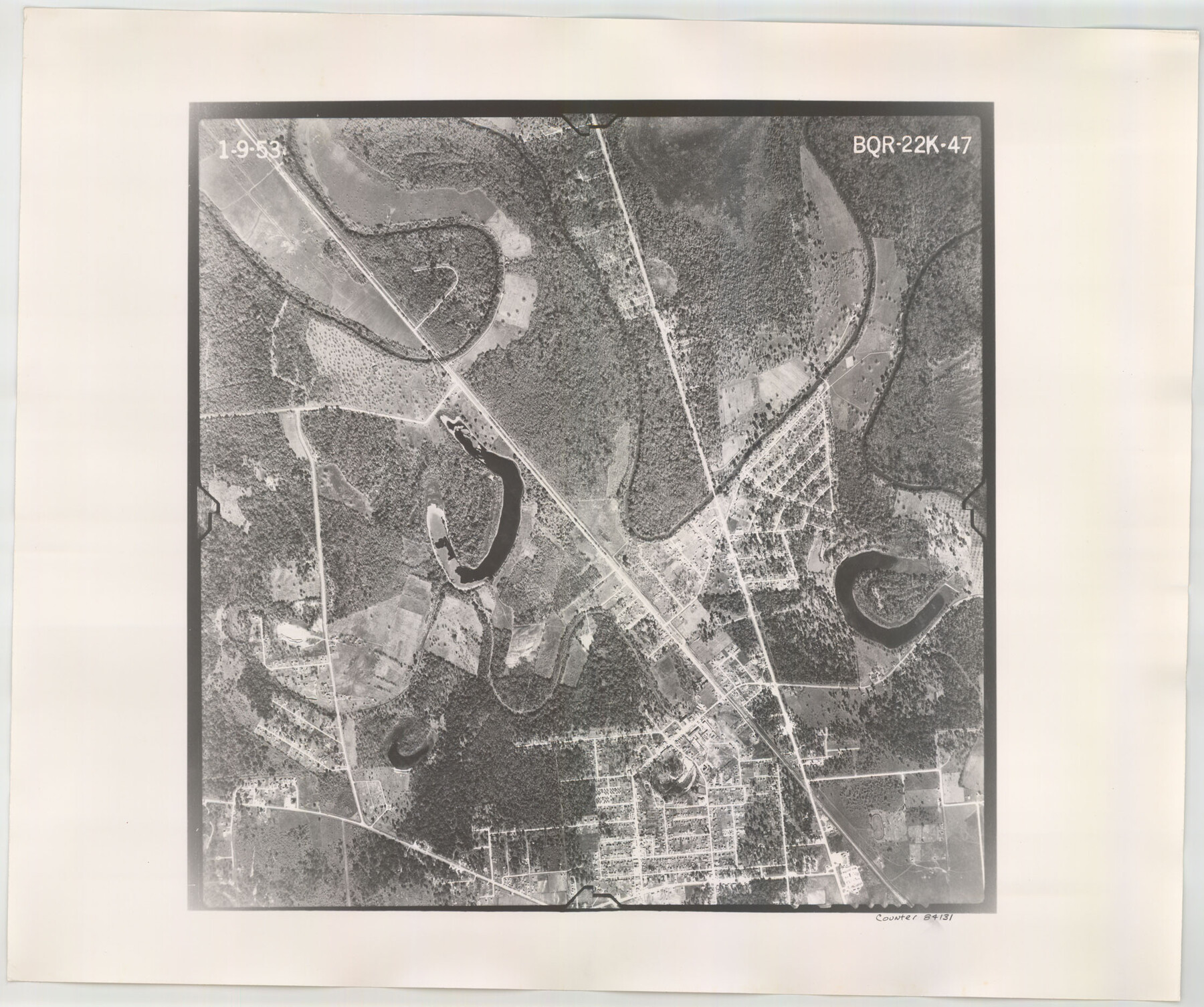
Flight Mission No. BQR-22K, Frame 47, Brazoria County
BQR-22K-47
-
Map/Doc
84131
-
Collection
General Map Collection
-
Object Dates
1953/1/9 (Creation Date)
-
People and Organizations
U. S. Department of Agriculture (Publisher)
-
Counties
Brazoria
-
Subjects
Aerial Photograph
-
Height x Width
18.8 x 22.4 inches
47.8 x 56.9 cm
-
Comments
Flown by Aero Exploration Company of Tulsa, Oklahoma.
Part of: General Map Collection
Hutchinson County Sketch File 33

Print $20.00
- Digital $50.00
Hutchinson County Sketch File 33
1926
Size 26.5 x 24.5 inches
Map/Doc 11821
Map of Clear Lake Shores

Print $20.00
- Digital $50.00
Map of Clear Lake Shores
1927
Size 36.9 x 46.2 inches
Map/Doc 4843
Jefferson County Working Sketch 39

Print $20.00
- Digital $50.00
Jefferson County Working Sketch 39
1984
Size 39.3 x 28.2 inches
Map/Doc 66583
Refugio County Boundary File 5

Print $4.00
- Digital $50.00
Refugio County Boundary File 5
Size 11.2 x 8.6 inches
Map/Doc 58256
Kleberg County Rolled Sketch 6

Print $20.00
- Digital $50.00
Kleberg County Rolled Sketch 6
Size 11.1 x 13.0 inches
Map/Doc 9359
Willacy County Aerial Photograph Index Sheet 4

Print $20.00
- Digital $50.00
Willacy County Aerial Photograph Index Sheet 4
1955
Size 24.3 x 19.8 inches
Map/Doc 83759
Live Oak County Working Sketch 36

Print $20.00
- Digital $50.00
Live Oak County Working Sketch 36
2008
Size 33.5 x 35.8 inches
Map/Doc 88879

Hutchinson County Rolled Sketch 15

Print $47.00
- Digital $50.00
Hutchinson County Rolled Sketch 15
1911
Size 28.9 x 27.0 inches
Map/Doc 10201
Starr County Working Sketch 2

Print $20.00
- Digital $50.00
Starr County Working Sketch 2
1916
Size 12.0 x 37.0 inches
Map/Doc 63918
Hutchinson County Rolled Sketch 40

Print $20.00
- Digital $50.00
Hutchinson County Rolled Sketch 40
1981
Size 25.7 x 37.4 inches
Map/Doc 6297
Crockett County Working Sketch 23

Print $20.00
- Digital $50.00
Crockett County Working Sketch 23
1919
Size 35.1 x 33.7 inches
Map/Doc 68356
You may also like
Val Verde County Rolled Sketch 86

Print $20.00
- Digital $50.00
Val Verde County Rolled Sketch 86
2014
Size 11.9 x 18.4 inches
Map/Doc 93690
Working Sketch in Dallam County [shows H. & T. C. Ry. Co. Block 47 1/2]
![90649, Working Sketch in Dallam County [shows H. & T. C. Ry. Co. Block 47 1/2], Twichell Survey Records](https://historictexasmaps.com/wmedia_w700/maps/90649-1.tif.jpg)
Print $20.00
- Digital $50.00
Working Sketch in Dallam County [shows H. & T. C. Ry. Co. Block 47 1/2]
1906
Size 18.5 x 18.2 inches
Map/Doc 90649
Wood County Boundary File 5

Print $20.00
- Digital $50.00
Wood County Boundary File 5
Size 10.8 x 8.1 inches
Map/Doc 60170
Flight Mission No. DQN-1K, Frame 45, Calhoun County

Print $20.00
- Digital $50.00
Flight Mission No. DQN-1K, Frame 45, Calhoun County
1953
Size 15.8 x 15.6 inches
Map/Doc 84145
Childress County Sketch File 4

Print $24.00
- Digital $50.00
Childress County Sketch File 4
1887
Size 8.1 x 12.0 inches
Map/Doc 18250
Limestone County Working Sketch 11

Print $20.00
- Digital $50.00
Limestone County Working Sketch 11
1922
Size 36.1 x 33.9 inches
Map/Doc 70561
Reeves County Working Sketch 58

Print $20.00
- Digital $50.00
Reeves County Working Sketch 58
1980
Size 32.3 x 25.3 inches
Map/Doc 63501
General Highway Map. Detail of Cities and Towns in Potter County, Texas [Amarillo and vicinity]
![79221, General Highway Map. Detail of Cities and Towns in Potter County, Texas [Amarillo and vicinity], Texas State Library and Archives](https://historictexasmaps.com/wmedia_w700/maps/79221.tif.jpg)
Print $20.00
General Highway Map. Detail of Cities and Towns in Potter County, Texas [Amarillo and vicinity]
1940
Size 24.6 x 18.2 inches
Map/Doc 79221
Jasper County Sketch File 30

Print $20.00
- Digital $50.00
Jasper County Sketch File 30
1948
Size 11.3 x 8.8 inches
Map/Doc 27858
Flight Mission No. DQN-1K, Frame 78, Calhoun County

Print $20.00
- Digital $50.00
Flight Mission No. DQN-1K, Frame 78, Calhoun County
1953
Size 18.5 x 22.1 inches
Map/Doc 84163

Carte de la côte de la Louisiane depuis la Baye St. Joseph, jusqu'à celle de St. Bernard où tous les ports et bons mouillages sont marquez par des ancres; avec la quantité de piés d'eau que l'on y trouve.

Print $20.00
Carte de la côte de la Louisiane depuis la Baye St. Joseph, jusqu'à celle de St. Bernard où tous les ports et bons mouillages sont marquez par des ancres; avec la quantité de piés d'eau que l'on y trouve.
1732
Size 11.4 x 32.7 inches
Map/Doc 93607