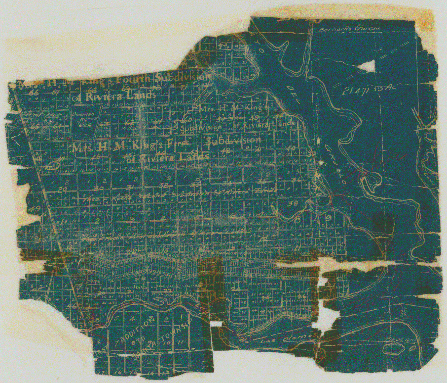
Kleberg County Rolled Sketch 6
[Sketch of Riviera Lands Subdivisions]
-
Map/Doc
9359
-
Collection
General Map Collection
-
Counties
Kleberg
-
Subjects
Surveying Rolled Sketch
-
Height x Width
11.1 x 13.0 inches
28.2 x 33.0 cm
-
Medium
blueprint/diazo
Part of: General Map Collection
Coryell County

Print $20.00
- Digital $50.00
Coryell County
1880
Size 25.6 x 25.6 inches
Map/Doc 3444
Kaufman County Boundary File 8

Print $10.00
- Digital $50.00
Kaufman County Boundary File 8
Size 11.2 x 8.7 inches
Map/Doc 55977
Sutton County Sketch File 48

Print $4.00
- Digital $50.00
Sutton County Sketch File 48
1939
Size 11.3 x 8.7 inches
Map/Doc 37521
Dimmit County Working Sketch 19

Print $20.00
- Digital $50.00
Dimmit County Working Sketch 19
1948
Size 27.4 x 23.3 inches
Map/Doc 68680
Jim Hogg County Sketch File 5

Print $20.00
- Digital $50.00
Jim Hogg County Sketch File 5
1939
Size 24.8 x 19.9 inches
Map/Doc 11885
Dickens County Working Sketch 13

Print $20.00
- Digital $50.00
Dickens County Working Sketch 13
1981
Size 26.8 x 21.4 inches
Map/Doc 68661
Travis County Working Sketch 56

Print $20.00
- Digital $50.00
Travis County Working Sketch 56
1989
Size 19.7 x 20.4 inches
Map/Doc 69440
Houston Ship Channel, Alexander Island to Carpenter Bayou

Print $20.00
- Digital $50.00
Houston Ship Channel, Alexander Island to Carpenter Bayou
1960
Size 34.8 x 46.2 inches
Map/Doc 69906
Map of Cherokee Co.

Print $40.00
- Digital $50.00
Map of Cherokee Co.
1902
Size 59.7 x 39.6 inches
Map/Doc 4747
Coryell County Working Sketch 17

Print $20.00
- Digital $50.00
Coryell County Working Sketch 17
1958
Size 35.4 x 35.0 inches
Map/Doc 68224
Flight Mission No. DQN-1K, Frame 115, Calhoun County

Print $20.00
- Digital $50.00
Flight Mission No. DQN-1K, Frame 115, Calhoun County
1953
Size 18.6 x 22.3 inches
Map/Doc 84181
Medina County Sketch File 2

Print $12.00
- Digital $50.00
Medina County Sketch File 2
Size 7.5 x 12.5 inches
Map/Doc 31439
You may also like
Kimble County Working Sketch 36

Print $40.00
- Digital $50.00
Kimble County Working Sketch 36
1946
Size 53.6 x 43.1 inches
Map/Doc 70104
Uvalde County Sketch File 3

Print $4.00
- Digital $50.00
Uvalde County Sketch File 3
1880
Size 9.1 x 15.0 inches
Map/Doc 38949
Harris County Rolled Sketch 28

Print $20.00
- Digital $50.00
Harris County Rolled Sketch 28
Size 29.8 x 47.3 inches
Map/Doc 6095
Flight Mission No. CLL-3N, Frame 45, Willacy County

Print $20.00
- Digital $50.00
Flight Mission No. CLL-3N, Frame 45, Willacy County
1954
Size 18.4 x 22.1 inches
Map/Doc 87103
Right of Way and Track Map Houston & Texas Central R.R. operated by the T. & N.O. R.R. Co., Austin Branch

Print $40.00
- Digital $50.00
Right of Way and Track Map Houston & Texas Central R.R. operated by the T. & N.O. R.R. Co., Austin Branch
1918
Size 25.8 x 58.2 inches
Map/Doc 64554
Hutchinson County Sketch File 6a

Print $42.00
- Digital $50.00
Hutchinson County Sketch File 6a
1898
Size 7.6 x 8.6 inches
Map/Doc 27202
Coast Chart No. 205 - Galveston Bay to Oyster Bay, Texas

Print $20.00
- Digital $50.00
Coast Chart No. 205 - Galveston Bay to Oyster Bay, Texas
1907
Size 34.3 x 40.5 inches
Map/Doc 69927
[H. & T. C. RR. Company Block 47, Sections 47, 48, 49, 50, 51, and 52]
![91221, [H. & T. C. RR. Company Block 47, Sections 47, 48, 49, 50, 51, and 52], Twichell Survey Records](https://historictexasmaps.com/wmedia_w700/maps/91221-1.tif.jpg)
Print $2.00
- Digital $50.00
[H. & T. C. RR. Company Block 47, Sections 47, 48, 49, 50, 51, and 52]
Size 8.5 x 11.2 inches
Map/Doc 91221
Flight Mission No. DQO-7K, Frame 110, Galveston County

Print $20.00
- Digital $50.00
Flight Mission No. DQO-7K, Frame 110, Galveston County
1952
Size 18.7 x 22.3 inches
Map/Doc 85125
Wilson County Sketch File 11

Print $27.00
- Digital $50.00
Wilson County Sketch File 11
Size 19.5 x 23.6 inches
Map/Doc 40419
Newton County Working Sketch 5

Print $20.00
- Digital $50.00
Newton County Working Sketch 5
1926
Size 16.0 x 20.0 inches
Map/Doc 71251
Dimmit County Sketch File 33

Print $4.00
- Digital $50.00
Dimmit County Sketch File 33
1884
Size 8.2 x 8.4 inches
Map/Doc 21151