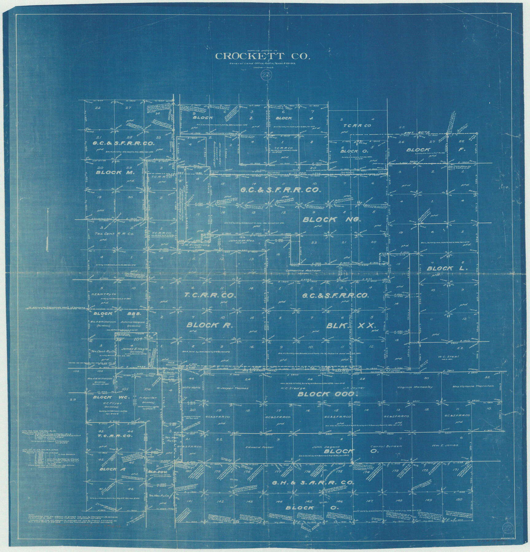
Crockett County Working Sketch 23
-
Map/Doc
68356
-
Collection
General Map Collection
-
Object Dates
8/25/1919 (Creation Date)
-
People and Organizations
G.T. Wicker (Draftsman)
-
Counties
Crockett
-
Subjects
Surveying Working Sketch
-
Height x Width
35.1 x 33.7 inches
89.2 x 85.6 cm
-
Scale
1" = 1000 varas
Part of: General Map Collection
Rio Grande Rectification Project, El Paso and Juarez Valley

Print $20.00
- Digital $50.00
Rio Grande Rectification Project, El Paso and Juarez Valley
1935
Size 10.7 x 29.4 inches
Map/Doc 60867
Fractional Township No. 7 South Range No. 3 East of the Indian Meridian, Indian Territory

Print $20.00
- Digital $50.00
Fractional Township No. 7 South Range No. 3 East of the Indian Meridian, Indian Territory
1898
Size 19.2 x 24.3 inches
Map/Doc 75206
McCulloch County Working Sketch Graphic Index

Print $20.00
- Digital $50.00
McCulloch County Working Sketch Graphic Index
1949
Size 47.3 x 37.4 inches
Map/Doc 76636
Polk County Working Sketch 15

Print $20.00
- Digital $50.00
Polk County Working Sketch 15
1947
Size 27.4 x 32.4 inches
Map/Doc 71630
Map of Pecos and Reeves Counties

Print $40.00
- Digital $50.00
Map of Pecos and Reeves Counties
1873
Size 45.3 x 115.6 inches
Map/Doc 75930

Map of Panola County

Print $20.00
- Digital $50.00
Map of Panola County
1897
Size 39.5 x 39.1 inches
Map/Doc 66967
Flight Mission No. CRK-5P, Frame 161, Refugio County

Print $20.00
- Digital $50.00
Flight Mission No. CRK-5P, Frame 161, Refugio County
1956
Size 18.5 x 22.4 inches
Map/Doc 86942
Map of Brown County

Print $20.00
- Digital $50.00
Map of Brown County
Size 25.4 x 23.5 inches
Map/Doc 3340
Nueva Hispania Tabula Nova

Print $20.00
- Digital $50.00
Nueva Hispania Tabula Nova
1548
Size 6.8 x 8.2 inches
Map/Doc 96626
Knox County Sketch File 17

Print $20.00
- Digital $50.00
Knox County Sketch File 17
1902
Size 18.4 x 25.0 inches
Map/Doc 11960
Flight Mission No. CUG-3P, Frame 24, Kleberg County

Print $20.00
- Digital $50.00
Flight Mission No. CUG-3P, Frame 24, Kleberg County
1956
Size 18.4 x 22.3 inches
Map/Doc 86234
You may also like
Map of the River Sabine from its mouth on the Gulf of Mexico in the Sea to Logan's Ferry in Latitude 31°58'24" North

Print $40.00
- Digital $50.00
Map of the River Sabine from its mouth on the Gulf of Mexico in the Sea to Logan's Ferry in Latitude 31°58'24" North
1842
Size 60.5 x 30.6 inches
Map/Doc 87151
Map of Haskell County Young District

Print $20.00
- Digital $50.00
Map of Haskell County Young District
1859
Size 21.9 x 25.8 inches
Map/Doc 3641
[H. & G.N. RR. Co. Block 4 and vicinity]
![92160, [H. & G.N. RR. Co. Block 4 and vicinity], Twichell Survey Records](https://historictexasmaps.com/wmedia_w700/maps/92160-1.tif.jpg)
Print $20.00
- Digital $50.00
[H. & G.N. RR. Co. Block 4 and vicinity]
Size 40.8 x 37.4 inches
Map/Doc 92160
Flight Mission No. CRC-2R, Frame 185, Chambers County

Print $20.00
- Digital $50.00
Flight Mission No. CRC-2R, Frame 185, Chambers County
1956
Size 18.8 x 22.4 inches
Map/Doc 84763
Revised Sectional Map No. 3 showing land surveys in counties of Loving, Reeves and Culberson and portions of Winkler, Ward, Pecos and Jeff Davis, Texas

Print $20.00
- Digital $50.00
Revised Sectional Map No. 3 showing land surveys in counties of Loving, Reeves and Culberson and portions of Winkler, Ward, Pecos and Jeff Davis, Texas
Size 19.0 x 24.7 inches
Map/Doc 4478
Travis County Sketch File 53

Print $6.00
- Digital $50.00
Travis County Sketch File 53
1945
Size 14.2 x 9.0 inches
Map/Doc 38395
[Sketch to determine conflict between H. & T. C. Blk. 97 and T. & P. Ry. Co. Blk. 30]
![90139, [Sketch to determine conflict between H. & T. C. Blk. 97 and T. & P. Ry. Co. Blk. 30], Twichell Survey Records](https://historictexasmaps.com/wmedia_w700/maps/90139-1.tif.jpg)
Print $20.00
- Digital $50.00
[Sketch to determine conflict between H. & T. C. Blk. 97 and T. & P. Ry. Co. Blk. 30]
1903
Size 19.1 x 26.9 inches
Map/Doc 90139
Culberson County Working Sketch 9

Print $20.00
- Digital $50.00
Culberson County Working Sketch 9
1915
Size 41.5 x 35.9 inches
Map/Doc 68461
Lubbock County

Print $20.00
- Digital $50.00
Lubbock County
1879
Size 23.8 x 21.7 inches
Map/Doc 3829

Armstrong County

Print $20.00
- Digital $50.00
Armstrong County
1904
Size 40.4 x 33.8 inches
Map/Doc 3247
Coryell County Sketch File 1

Print $13.00
- Digital $50.00
Coryell County Sketch File 1
1852
Size 15.9 x 11.0 inches
Map/Doc 19334