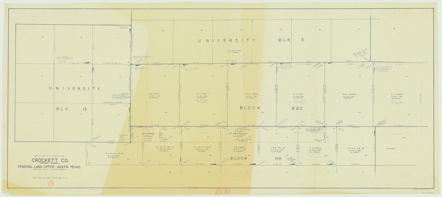
Crockett County Working Sketch 58
-
Map/Doc
68391
-
Collection
General Map Collection
-
Object Dates
12/6/1954 (Creation Date)
-
People and Organizations
Otto G. Kurio (Draftsman)
-
Counties
Crockett
-
Subjects
Surveying Working Sketch
-
Height x Width
24.3 x 54.4 inches
61.7 x 138.2 cm
-
Scale
1" = 400 varas
Part of: General Map Collection
Wichita County Working Sketch 29

Print $20.00
- Digital $50.00
Wichita County Working Sketch 29
2014
Size 16.7 x 20.0 inches
Map/Doc 93688
Map of San Patricio County

Print $20.00
- Digital $50.00
Map of San Patricio County
1883
Size 17.2 x 26.8 inches
Map/Doc 4017
Jefferson County Sketch File 5b

Print $6.00
- Digital $50.00
Jefferson County Sketch File 5b
1860
Size 9.3 x 11.1 inches
Map/Doc 28108
Map of Cherokee County

Print $20.00
- Digital $50.00
Map of Cherokee County
1877
Size 29.0 x 21.2 inches
Map/Doc 3389
Mitchell County Boundary File 66c

Print $19.00
- Digital $50.00
Mitchell County Boundary File 66c
Size 12.7 x 8.3 inches
Map/Doc 57390
Flight Mission No. DQO-8K, Frame79, Galveston County

Print $20.00
- Digital $50.00
Flight Mission No. DQO-8K, Frame79, Galveston County
1952
Size 18.7 x 22.5 inches
Map/Doc 85183
[Surveys in Jackson County]
![78354, [Surveys in Jackson County], General Map Collection](https://historictexasmaps.com/wmedia_w700/maps/78354.tif.jpg)
Print $20.00
- Digital $50.00
[Surveys in Jackson County]
Size 20.2 x 19.3 inches
Map/Doc 78354
Young County Sketch File 17

Print $20.00
- Digital $50.00
Young County Sketch File 17
Size 18.5 x 24.3 inches
Map/Doc 12713
Brooks County Boundary File 1a

Print $40.00
- Digital $50.00
Brooks County Boundary File 1a
Size 63.8 x 7.1 inches
Map/Doc 50836
Cooke County Boundary File 1a

Print $32.00
- Digital $50.00
Cooke County Boundary File 1a
Size 12.6 x 7.5 inches
Map/Doc 51828
Wood County Working Sketch 4

Print $20.00
- Digital $50.00
Wood County Working Sketch 4
1941
Size 21.0 x 28.3 inches
Map/Doc 62004
Amistad International Reservoir on Rio Grande 68a

Print $20.00
- Digital $50.00
Amistad International Reservoir on Rio Grande 68a
1949
Size 28.4 x 39.6 inches
Map/Doc 73354
You may also like
State Prison Lands in Walker County - Wynne Farm, Goree Farm, Dairy Pasture, Cemetery Tract

Print $20.00
- Digital $50.00
State Prison Lands in Walker County - Wynne Farm, Goree Farm, Dairy Pasture, Cemetery Tract
Size 16.9 x 19.1 inches
Map/Doc 62994
Atascosa County Sketch File 28

Print $40.00
- Digital $50.00
Atascosa County Sketch File 28
1878
Size 27.9 x 21.7 inches
Map/Doc 10862
Hansford County Boundary File 3

Print $10.00
- Digital $50.00
Hansford County Boundary File 3
Size 13.6 x 8.7 inches
Map/Doc 54270
[Map of Parker County]
![3941, [Map of Parker County], General Map Collection](https://historictexasmaps.com/wmedia_w700/maps/3941.tif.jpg)
Print $20.00
- Digital $50.00
[Map of Parker County]
Size 22.0 x 34.0 inches
Map/Doc 3941
Dimmit County Rolled Sketch 23

Print $20.00
- Digital $50.00
Dimmit County Rolled Sketch 23
2015
Size 18.1 x 24.3 inches
Map/Doc 93792
Map of Jack County

Print $20.00
- Digital $50.00
Map of Jack County
1896
Size 20.3 x 17.7 inches
Map/Doc 3699
Jim Wells County Working Sketch 1

Print $20.00
- Digital $50.00
Jim Wells County Working Sketch 1
Size 17.2 x 22.2 inches
Map/Doc 66599
Montgomery County Rolled Sketch 34

Print $20.00
- Digital $50.00
Montgomery County Rolled Sketch 34
1954
Size 32.1 x 28.4 inches
Map/Doc 6811
Revised Sectional Map No. 4 showing land surveys in the western portion of the county of El Paso, Texas

Print $20.00
- Digital $50.00
Revised Sectional Map No. 4 showing land surveys in the western portion of the county of El Paso, Texas
Size 19.0 x 24.2 inches
Map/Doc 4477
Refugio County Working Sketch 2

Print $20.00
- Digital $50.00
Refugio County Working Sketch 2
1927
Size 17.6 x 19.4 inches
Map/Doc 63511

Rusk County Working Sketch 20b

Print $20.00
- Digital $50.00
Rusk County Working Sketch 20b
1955
Size 31.5 x 30.3 inches
Map/Doc 63656