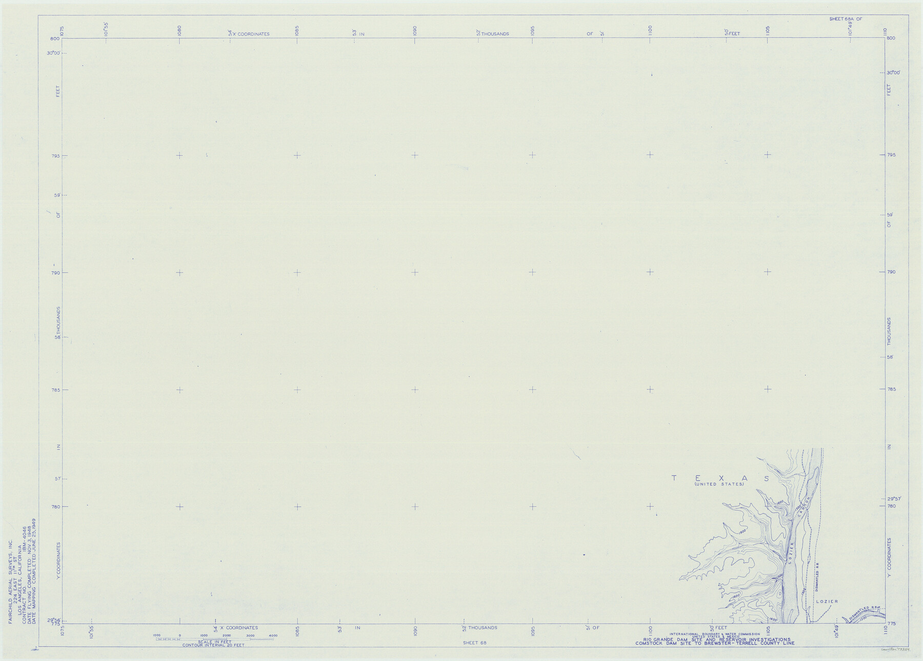
Amistad International Reservoir on Rio Grande 68a
Rio Grande Dam Site and Reservoir Investigations
-
Map/Doc
73354
-
Collection
General Map Collection
-
Object Dates
1949/6/25 (Creation Date)
-
People and Organizations
International Boundary and Water Commission (Publisher)
Fairchild Aerial Surveys Inc. (Surveyor/Engineer)
-
Counties
Terrell
-
Subjects
River Surveys Texas Boundaries Topographic
-
Height x Width
28.4 x 39.6 inches
72.1 x 100.6 cm
-
Medium
blueline
-
Comments
Comstock Dam site to Brewster-Terrell County line. Shows dismantled railroad bed by Lozier Canyon.
Part of: General Map Collection
Ward County Sketch File L

Print $20.00
- Digital $50.00
Ward County Sketch File L
Size 23.8 x 29.6 inches
Map/Doc 12601

Colorado County Working Sketch 8

Print $20.00
- Digital $50.00
Colorado County Working Sketch 8
1937
Size 19.7 x 21.0 inches
Map/Doc 68108
Map of the Trinity Artesian Reservoirs of the Black and Grand Prairies of Texas including the Eastern and Western Cross Timbers

Print $20.00
- Digital $50.00
Map of the Trinity Artesian Reservoirs of the Black and Grand Prairies of Texas including the Eastern and Western Cross Timbers
1900
Size 32.7 x 31.9 inches
Map/Doc 75920
Culberson County Rolled Sketch 60

Print $46.00
- Digital $50.00
Culberson County Rolled Sketch 60
1968
Size 58.9 x 31.3 inches
Map/Doc 8761
Knox County Rolled Sketch 12

Print $48.00
- Digital $50.00
Knox County Rolled Sketch 12
1888
Size 44.1 x 28.9 inches
Map/Doc 9408
Morris County Rolled Sketch 2A

Print $20.00
- Digital $50.00
Morris County Rolled Sketch 2A
Size 24.3 x 19.1 inches
Map/Doc 10241
Northern Part of Laguna Madre

Print $20.00
- Digital $50.00
Northern Part of Laguna Madre
1935
Size 44.4 x 35.1 inches
Map/Doc 73522
Webb County Sketch File 44a

Print $20.00
- Digital $50.00
Webb County Sketch File 44a
1936
Size 29.4 x 18.2 inches
Map/Doc 12640
Nueces County Rolled Sketch 83

Print $40.00
- Digital $50.00
Nueces County Rolled Sketch 83
1973
Size 20.1 x 48.7 inches
Map/Doc 9629
Brazoria County Sketch File 57

Print $10.00
- Digital $50.00
Brazoria County Sketch File 57
1940
Size 8.7 x 6.3 inches
Map/Doc 15377
Carta Historica y Arqueologica

Print $20.00
- Digital $50.00
Carta Historica y Arqueologica
Size 26.0 x 34.4 inches
Map/Doc 96806
You may also like
[Sketch Showing Wm. T. Brewer, John R. Taylor, Wm. F. Butler, Timothy DeVore, L. M. Thorn and adjoining surveys]
![89745, [Sketch Showing Wm. T. Brewer, John R. Taylor, Wm. F. Butler, Timothy DeVore, L. M. Thorn and adjoining surveys], Twichell Survey Records](https://historictexasmaps.com/wmedia_w700/maps/89745-1.tif.jpg)
Print $40.00
- Digital $50.00
[Sketch Showing Wm. T. Brewer, John R. Taylor, Wm. F. Butler, Timothy DeVore, L. M. Thorn and adjoining surveys]
Size 37.1 x 56.1 inches
Map/Doc 89745
Map of Maverick County

Print $20.00
- Digital $50.00
Map of Maverick County
1875
Size 36.3 x 23.7 inches
Map/Doc 3849
Howard McCauley Irrigated Farm North Half Section 2, Block D4

Print $20.00
- Digital $50.00
Howard McCauley Irrigated Farm North Half Section 2, Block D4
1946
Size 32.0 x 19.4 inches
Map/Doc 92342
Comanche County Sketch File 21

Print $20.00
- Digital $50.00
Comanche County Sketch File 21
Size 18.3 x 20.2 inches
Map/Doc 11143
[Sketch for Mineral Application 16341 - Clear Fork of Brazos River, Taylor & Holcomb]
![65572, [Sketch for Mineral Application 16341 - Clear Fork of Brazos River, Taylor & Holcomb], General Map Collection](https://historictexasmaps.com/wmedia_w700/maps/65572.tif.jpg)
Print $40.00
- Digital $50.00
[Sketch for Mineral Application 16341 - Clear Fork of Brazos River, Taylor & Holcomb]
1926
Size 122.8 x 39.6 inches
Map/Doc 65572
San Augustine County Working Sketch Graphic Index

Print $20.00
- Digital $50.00
San Augustine County Working Sketch Graphic Index
1949
Size 47.4 x 29.6 inches
Map/Doc 76690
Dallam County Boundary File 4

Print $80.00
- Digital $50.00
Dallam County Boundary File 4
Size 9.4 x 49.8 inches
Map/Doc 52082
[Sketch in Hutchinson County, Texas]
![76016, [Sketch in Hutchinson County, Texas], Maddox Collection](https://historictexasmaps.com/wmedia_w700/maps/76016.tif.jpg)
Print $20.00
- Digital $50.00
[Sketch in Hutchinson County, Texas]
Size 26.5 x 35.3 inches
Map/Doc 76016
Dickens County Sketch File 4

Print $20.00
- Digital $50.00
Dickens County Sketch File 4
Size 21.2 x 27.1 inches
Map/Doc 11317
Harrison County Working Sketch 16

Print $20.00
- Digital $50.00
Harrison County Working Sketch 16
1966
Size 29.2 x 33.0 inches
Map/Doc 66036
Gregg County Sketch File 12

Print $20.00
- Digital $50.00
Gregg County Sketch File 12
Size 17.3 x 24.1 inches
Map/Doc 11589
Edwards County Working Sketch 26

Print $20.00
- Digital $50.00
Edwards County Working Sketch 26
1942
Size 31.8 x 28.8 inches
Map/Doc 68902