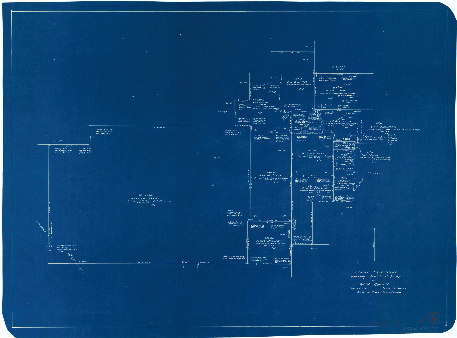
Wood County Working Sketch 4
-
Map/Doc
62004
-
Collection
General Map Collection
-
Object Dates
1/29/1941 (Creation Date)
-
Counties
Wood
-
Subjects
Surveying Working Sketch
-
Height x Width
21.0 x 28.3 inches
53.3 x 71.9 cm
-
Scale
1" = 500 varas
Part of: General Map Collection
McLennan County Working Sketch 2

Print $20.00
- Digital $50.00
McLennan County Working Sketch 2
1941
Size 21.8 x 30.0 inches
Map/Doc 70695
Map of the City of Austin

Print $20.00
- Digital $50.00
Map of the City of Austin
1876
Size 36.5 x 30.4 inches
Map/Doc 78477
West Part Presidio Co.

Print $20.00
- Digital $50.00
West Part Presidio Co.
1974
Size 40.5 x 31.4 inches
Map/Doc 77399
Flight Mission No. CRE-1R, Frame 124, Jackson County

Print $20.00
- Digital $50.00
Flight Mission No. CRE-1R, Frame 124, Jackson County
1956
Size 16.1 x 15.9 inches
Map/Doc 85335
Taylor County Working Sketch 22

Print $40.00
- Digital $50.00
Taylor County Working Sketch 22
1985
Size 50.3 x 37.3 inches
Map/Doc 69632
Morris County Rolled Sketch 2A

Print $20.00
- Digital $50.00
Morris County Rolled Sketch 2A
Size 24.0 x 18.8 inches
Map/Doc 10246
Callahan County Rolled Sketch 2

Print $20.00
- Digital $50.00
Callahan County Rolled Sketch 2
1947
Size 19.1 x 23.0 inches
Map/Doc 5380
Galveston County NRC Article 33.136 Sketch 38

Print $28.00
- Digital $50.00
Galveston County NRC Article 33.136 Sketch 38
2006
Size 24.4 x 18.6 inches
Map/Doc 83079
Flight Mission No. DQN-7K, Frame 32, Calhoun County

Print $20.00
- Digital $50.00
Flight Mission No. DQN-7K, Frame 32, Calhoun County
1953
Size 18.6 x 22.2 inches
Map/Doc 84470
Topographisch-geognostische Karte von Texas mit Zugrundelegung der geographischen Karte v. Wilson nach eigenen Beobachtungen bearbeitet von Dr. Ferd. Roemer

Print $20.00
- Digital $50.00
Topographisch-geognostische Karte von Texas mit Zugrundelegung der geographischen Karte v. Wilson nach eigenen Beobachtungen bearbeitet von Dr. Ferd. Roemer
1849
Size 23.5 x 21.0 inches
Map/Doc 96523
Newton County Sketch File 44

Print $8.00
- Digital $50.00
Newton County Sketch File 44
1945
Size 11.2 x 8.6 inches
Map/Doc 32441
Andrews County Rolled Sketch 22

Print $20.00
- Digital $50.00
Andrews County Rolled Sketch 22
1946
Size 26.4 x 24.0 inches
Map/Doc 77170
You may also like
Hutchinson County Rolled Sketch 44-12

Print $20.00
- Digital $50.00
Hutchinson County Rolled Sketch 44-12
2002
Size 24.0 x 36.0 inches
Map/Doc 77548
Grayson County Sketch File 4

Print $4.00
- Digital $50.00
Grayson County Sketch File 4
1856
Size 12.5 x 8.2 inches
Map/Doc 24462
Brazoria County Working Sketch 46

Print $40.00
- Digital $50.00
Brazoria County Working Sketch 46
1988
Size 37.3 x 48.7 inches
Map/Doc 67531
Winkler Co., Tex., standard single county oil development survey

Print $20.00
- Digital $50.00
Winkler Co., Tex., standard single county oil development survey
Size 14.5 x 16.4 inches
Map/Doc 91972
Mason County Working Sketch 11

Print $20.00
- Digital $50.00
Mason County Working Sketch 11
1951
Size 24.7 x 23.7 inches
Map/Doc 70847
Kinney County Working Sketch 23

Print $20.00
- Digital $50.00
Kinney County Working Sketch 23
1950
Size 20.8 x 24.3 inches
Map/Doc 70205
Hamilton County Sketch File 14

Print $10.00
- Digital $50.00
Hamilton County Sketch File 14
Size 10.1 x 8.0 inches
Map/Doc 24937
Guadalupe County Working Sketch 10

Print $20.00
- Digital $50.00
Guadalupe County Working Sketch 10
1966
Size 21.2 x 27.2 inches
Map/Doc 63319
Haskell County Boundary File 4b

Print $40.00
- Digital $50.00
Haskell County Boundary File 4b
Size 28.6 x 19.7 inches
Map/Doc 54576
Taylor County Working Sketch 19

Print $20.00
- Digital $50.00
Taylor County Working Sketch 19
1985
Size 30.0 x 44.0 inches
Map/Doc 69629
Tarrant County Working Sketch 3

Print $20.00
- Digital $50.00
Tarrant County Working Sketch 3
1948
Size 26.3 x 24.9 inches
Map/Doc 62420
Comal County Working Sketch 18

Print $20.00
- Digital $50.00
Comal County Working Sketch 18
2000
Size 32.0 x 31.7 inches
Map/Doc 68182