[Surveys in Jackson County]
Atlas D, Sketch 31 (D-31)
D-31
-
Map/Doc
78354
-
Collection
General Map Collection
-
Counties
Jackson
-
Subjects
Atlas
-
Height x Width
20.2 x 19.3 inches
51.3 x 49.0 cm
-
Medium
paper, manuscript
-
Comments
Conserved in 2003.
-
Features
East Fork of Mustang Creek
Sandy Creek
West Fork of Mustang Creek
Navidad River
Labacan [sic] River
Cronk Bayou
Part of: General Map Collection
Flight Mission No. CGI-3N, Frame 142, Cameron County
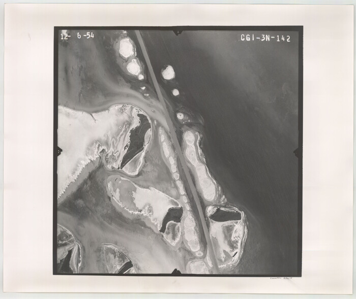

Print $20.00
- Digital $50.00
Flight Mission No. CGI-3N, Frame 142, Cameron County
1954
Size 18.7 x 22.3 inches
Map/Doc 84615
Trinity County Sketch File 16


Print $4.00
- Digital $50.00
Trinity County Sketch File 16
1879
Size 8.2 x 11.1 inches
Map/Doc 38544
Harris County Sketch File 91
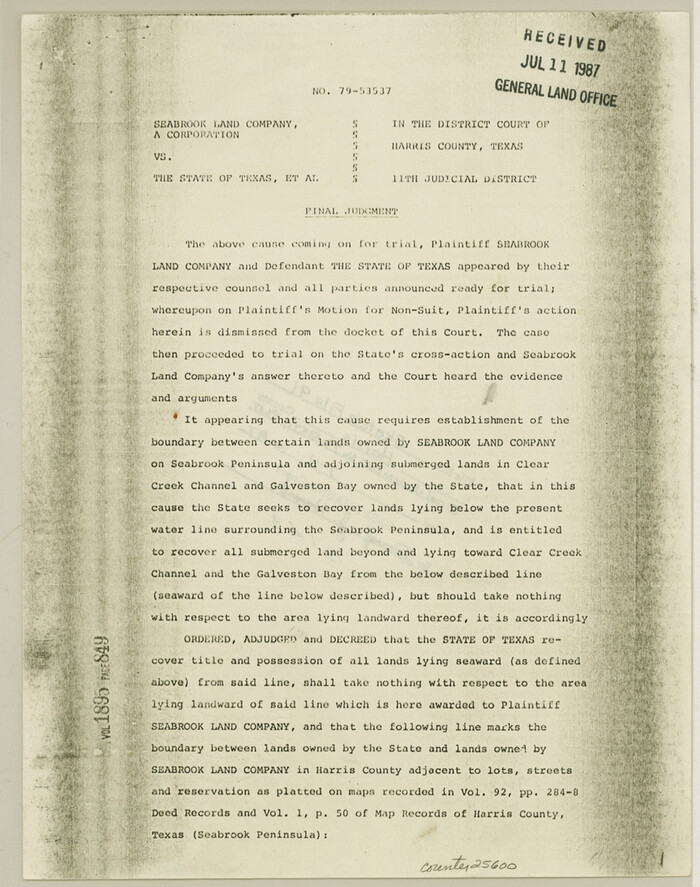

Print $141.00
- Digital $50.00
Harris County Sketch File 91
1980
Size 11.3 x 8.9 inches
Map/Doc 25600
Flight Mission No. DAG-14K, Frame 41, Matagorda County
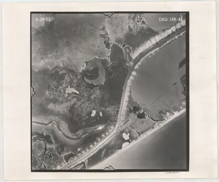

Print $20.00
- Digital $50.00
Flight Mission No. DAG-14K, Frame 41, Matagorda County
1952
Size 18.6 x 22.4 inches
Map/Doc 86299
Brazoria County Sketch File 19


Print $36.00
- Digital $50.00
Brazoria County Sketch File 19
1913
Size 8.8 x 5.5 inches
Map/Doc 14998
Kendall County Sketch File 9
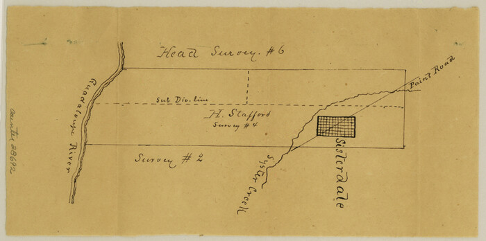

Print $6.00
- Digital $50.00
Kendall County Sketch File 9
1879
Size 4.6 x 9.3 inches
Map/Doc 28692
Hall County Working Sketch 4
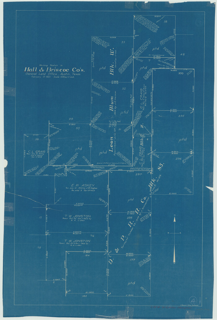

Print $20.00
- Digital $50.00
Hall County Working Sketch 4
1923
Size 29.0 x 19.7 inches
Map/Doc 63332
[Sketch for Mineral Application 24072, San Jacinto River]
![65601, [Sketch for Mineral Application 24072, San Jacinto River], General Map Collection](https://historictexasmaps.com/wmedia_w700/maps/65601.tif.jpg)
![65601, [Sketch for Mineral Application 24072, San Jacinto River], General Map Collection](https://historictexasmaps.com/wmedia_w700/maps/65601.tif.jpg)
Print $20.00
- Digital $50.00
[Sketch for Mineral Application 24072, San Jacinto River]
1929
Size 25.1 x 18.4 inches
Map/Doc 65601
Atascosa County Sketch File 3b


Print $8.00
- Digital $50.00
Atascosa County Sketch File 3b
1857
Size 11.4 x 5.8 inches
Map/Doc 13739
Map of Galveston County


Print $20.00
- Digital $50.00
Map of Galveston County
1864
Size 19.6 x 28.0 inches
Map/Doc 3576
You may also like
Houston County Sketch File 9
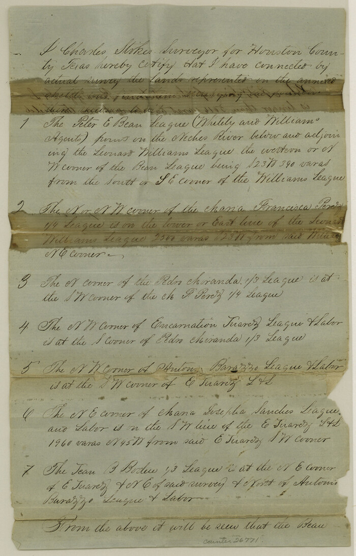

Print $4.00
- Digital $50.00
Houston County Sketch File 9
1857
Size 12.7 x 8.1 inches
Map/Doc 26771
Cooke County Sketch File 12
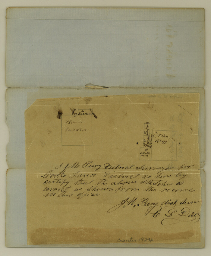

Print $4.00
- Digital $50.00
Cooke County Sketch File 12
Size 10.1 x 8.3 inches
Map/Doc 19246
Brazos River, Harlem-Imperial Farms Project
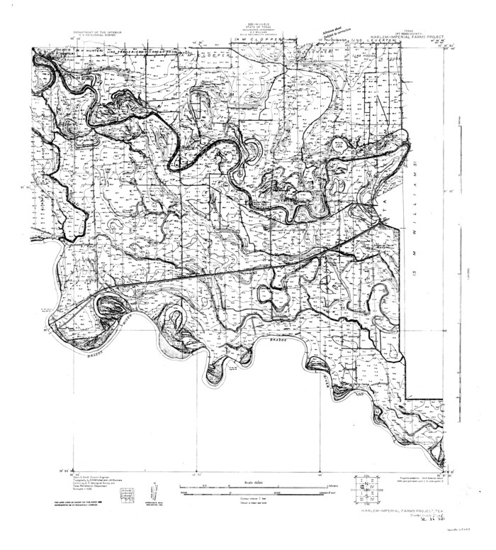

Print $4.00
- Digital $50.00
Brazos River, Harlem-Imperial Farms Project
1931
Size 29.4 x 26.6 inches
Map/Doc 65285
Red River County Sketch File 17


Print $26.00
- Digital $50.00
Red River County Sketch File 17
1868
Size 12.8 x 8.2 inches
Map/Doc 35141
The Republic County of Shelby. February 1, 1842


Print $20.00
The Republic County of Shelby. February 1, 1842
2020
Size 20.0 x 21.7 inches
Map/Doc 96283
Val Verde County Working Sketch 52
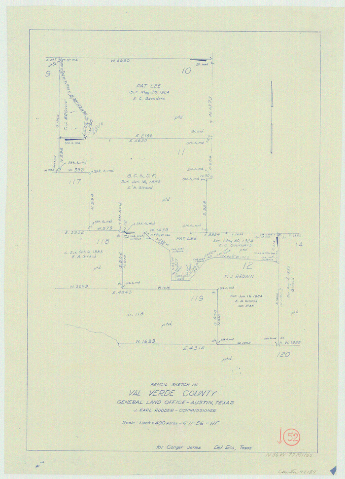

Print $20.00
- Digital $50.00
Val Verde County Working Sketch 52
1956
Size 20.6 x 14.9 inches
Map/Doc 72187
Bauer & Cockrell Lands Located in Martin County, Texas
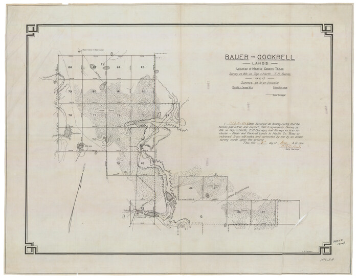

Print $20.00
- Digital $50.00
Bauer & Cockrell Lands Located in Martin County, Texas
1908
Size 28.5 x 22.3 inches
Map/Doc 91365
Pecos County Working Sketch 8
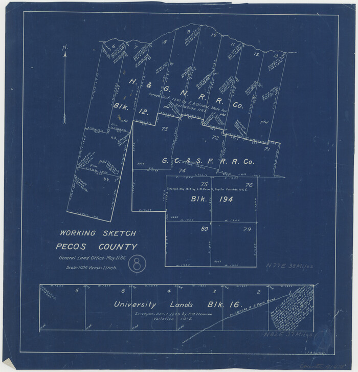

Print $20.00
- Digital $50.00
Pecos County Working Sketch 8
1906
Size 15.4 x 14.8 inches
Map/Doc 71478
Bee County Boundary File 2
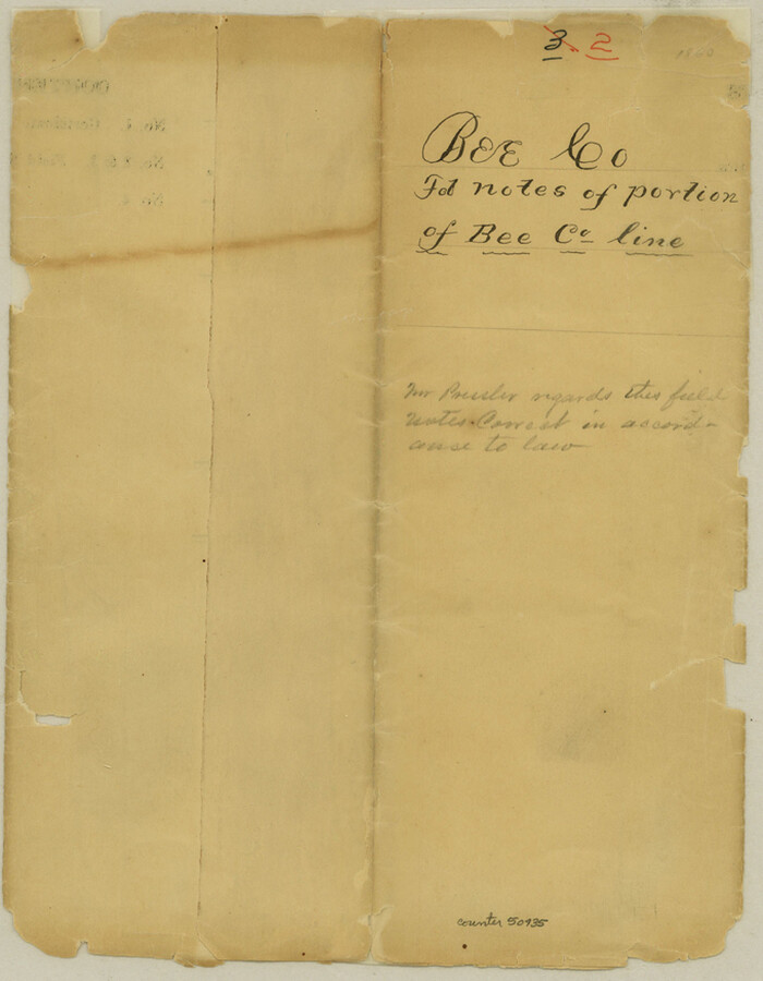

Print $10.00
- Digital $50.00
Bee County Boundary File 2
Size 8.8 x 6.8 inches
Map/Doc 50435
Traveller's Map of the State of Texas


Print $20.00
- Digital $50.00
Traveller's Map of the State of Texas
1867
Size 40.7 x 38.7 inches
Map/Doc 2130
Llano County Working Sketch 2
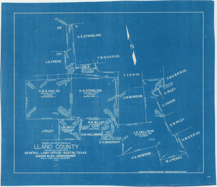

Print $20.00
- Digital $50.00
Llano County Working Sketch 2
1949
Size 21.0 x 24.3 inches
Map/Doc 70620
Colorado County Working Sketch 23


Print $20.00
- Digital $50.00
Colorado County Working Sketch 23
1967
Size 38.0 x 32.9 inches
Map/Doc 68123
![78354, [Surveys in Jackson County], General Map Collection](https://historictexasmaps.com/wmedia_w1800h1800/maps/78354.tif.jpg)

