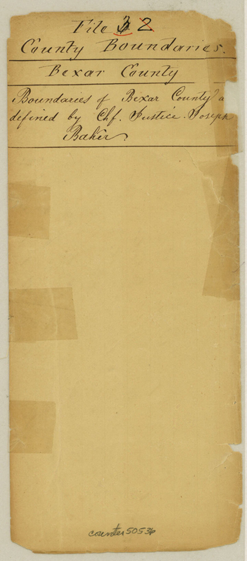
Bexar County Boundary File 3
Boundaries of Bexar County as defined by Chf. Justice Joseph Baker
-
Map/Doc
50536
-
Collection
General Map Collection
-
Counties
Bexar
-
Subjects
County Boundaries
-
Height x Width
8.2 x 3.6 inches
20.8 x 9.1 cm
Part of: General Map Collection
Angelina County Sketch File 30

Print $40.00
- Digital $50.00
Angelina County Sketch File 30
1920
Size 24.5 x 32.7 inches
Map/Doc 10818
Wilbarger County Working Sketch 13

Print $20.00
- Digital $50.00
Wilbarger County Working Sketch 13
1954
Size 25.9 x 24.0 inches
Map/Doc 72551
Harris County Historic Topographic 8

Print $20.00
- Digital $50.00
Harris County Historic Topographic 8
1916
Size 29.8 x 23.1 inches
Map/Doc 65818
Webb County Rolled Sketch 22

Print $40.00
- Digital $50.00
Webb County Rolled Sketch 22
Size 108.0 x 43.7 inches
Map/Doc 10120
Tarrant County Working Sketch 21

Print $20.00
- Digital $50.00
Tarrant County Working Sketch 21
1999
Size 17.4 x 22.8 inches
Map/Doc 62438
Jeff Davis County Sketch File 32

Print $20.00
- Digital $50.00
Jeff Davis County Sketch File 32
Size 23.8 x 18.8 inches
Map/Doc 11865
Map of Donley County

Print $20.00
- Digital $50.00
Map of Donley County
1894
Size 44.6 x 35.8 inches
Map/Doc 16823
Brazos Santiago, Texas

Print $20.00
- Digital $50.00
Brazos Santiago, Texas
1882
Size 9.0 x 16.9 inches
Map/Doc 97186
Red River Co.

Print $40.00
- Digital $50.00
Red River Co.
1897
Size 48.0 x 39.4 inches
Map/Doc 66993
Duval County Working Sketch 56

Print $20.00
- Digital $50.00
Duval County Working Sketch 56
1989
Size 26.7 x 27.2 inches
Map/Doc 68780
Hudspeth County Rolled Sketch 50

Print $40.00
- Digital $50.00
Hudspeth County Rolled Sketch 50
1971
Size 56.6 x 34.8 inches
Map/Doc 9220
PSL Field Notes for Blocks 77 through 86 in Culberson County and Blocks 73 through 76 in Hudspeth County

PSL Field Notes for Blocks 77 through 86 in Culberson County and Blocks 73 through 76 in Hudspeth County
Map/Doc 81663
You may also like
Marion County Working Sketch 44

Print $20.00
- Digital $50.00
Marion County Working Sketch 44
2002
Size 42.7 x 27.0 inches
Map/Doc 78215
Hemphill County Sketch File 2

Print $8.00
- Digital $50.00
Hemphill County Sketch File 2
1900
Size 10.3 x 8.4 inches
Map/Doc 26281
Flight Mission No. BRE-2G, Frame 118, Nueces County

Print $20.00
- Digital $50.00
Flight Mission No. BRE-2G, Frame 118, Nueces County
1950
Size 18.4 x 18.2 inches
Map/Doc 86623
[Galveston, Harrisburg & San Antonio through El Paso County]
![64013, [Galveston, Harrisburg & San Antonio through El Paso County], General Map Collection](https://historictexasmaps.com/wmedia_w700/maps/64013.tif.jpg)
Print $20.00
- Digital $50.00
[Galveston, Harrisburg & San Antonio through El Paso County]
1906
Size 13.5 x 33.5 inches
Map/Doc 64013
Briscoe County Boundary File 4

Print $66.00
- Digital $50.00
Briscoe County Boundary File 4
Size 8.7 x 7.1 inches
Map/Doc 50780
Brewster County Working Sketch 62

Print $20.00
- Digital $50.00
Brewster County Working Sketch 62
1956
Size 22.7 x 20.2 inches
Map/Doc 67663
Terry County Sketch File 9

Print $4.00
- Digital $50.00
Terry County Sketch File 9
1917
Size 14.4 x 8.8 inches
Map/Doc 38032
Runnels County Boundary File 1

Print $42.00
- Digital $50.00
Runnels County Boundary File 1
Size 9.3 x 7.7 inches
Map/Doc 58504
[Sketch for Mineral Application 16777]
![65656, [Sketch for Mineral Application 16777], General Map Collection](https://historictexasmaps.com/wmedia_w700/maps/65656-1.tif.jpg)
Print $40.00
- Digital $50.00
[Sketch for Mineral Application 16777]
Size 80.3 x 20.0 inches
Map/Doc 65656
Nolan County Sketch File 17

Print $6.00
- Digital $50.00
Nolan County Sketch File 17
1940
Size 17.9 x 10.1 inches
Map/Doc 32487
Floyd County Sketch File 24

Print $6.00
- Digital $50.00
Floyd County Sketch File 24
1915
Size 9.0 x 14.5 inches
Map/Doc 22780
Map of the Mirror's Addition to the town of Amarillo, Potter County, Texas on the line of the Fort Worth and Denver City Ry.

Print $20.00
- Digital $50.00
Map of the Mirror's Addition to the town of Amarillo, Potter County, Texas on the line of the Fort Worth and Denver City Ry.
Size 13.3 x 20.1 inches
Map/Doc 91787