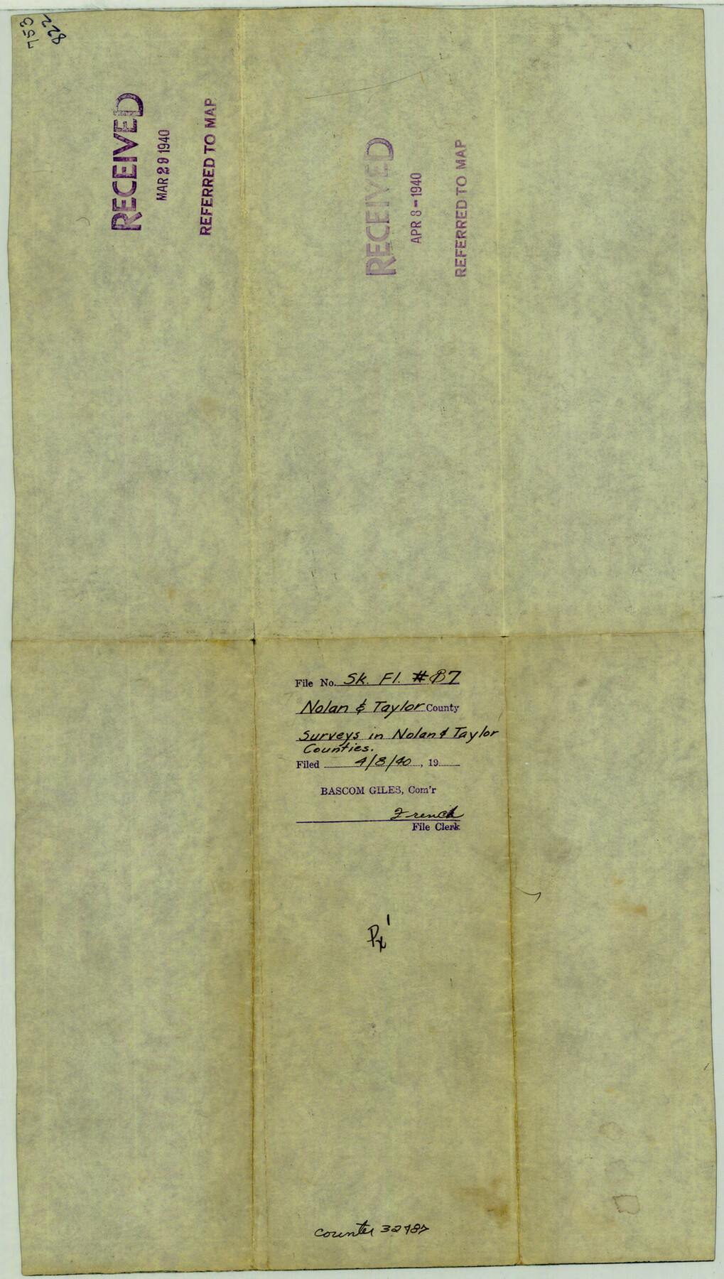
Nolan County Sketch File 17
[Sketch of surveys in Block 19 and 20, T. & P. Ry. Co. in Nolan and Taylor Counties]
-
Map/Doc
32487
-
Collection
General Map Collection
-
Object Dates
3/16/1940 (Creation Date)
4/8/1940 (File Date)
-
People and Organizations
W.R. Couch (Surveyor/Engineer)
-
Counties
Nolan Taylor
-
Subjects
Surveying Sketch File
-
Height x Width
17.9 x 10.1 inches
45.5 x 25.7 cm
-
Medium
blueprint/diazo
-
Scale
1" = 1000 varas
Part of: General Map Collection
Tyler County Working Sketch 21

Print $20.00
- Digital $50.00
Tyler County Working Sketch 21
1985
Size 21.1 x 21.0 inches
Map/Doc 69491
Martin County Sketch File 16

Print $2.00
- Digital $50.00
Martin County Sketch File 16
1996
Size 11.2 x 8.8 inches
Map/Doc 30676
Crockett County Working Sketch 24

Print $20.00
- Digital $50.00
Crockett County Working Sketch 24
1920
Size 43.0 x 17.7 inches
Map/Doc 68357
[Sketch for Mineral Application 33721 - 33725 Incl. - Padre and Mustang Island]
![2873, [Sketch for Mineral Application 33721 - 33725 Incl. - Padre and Mustang Island], General Map Collection](https://historictexasmaps.com/wmedia_w700/maps/2873.tif.jpg)
Print $20.00
- Digital $50.00
[Sketch for Mineral Application 33721 - 33725 Incl. - Padre and Mustang Island]
1942
Size 26.6 x 22.7 inches
Map/Doc 2873
Newton County Rolled Sketch 14

Print $40.00
- Digital $50.00
Newton County Rolled Sketch 14
1953
Size 33.4 x 56.0 inches
Map/Doc 9579
Flight Mission No. DQO-1K, Frame 19, Galveston County

Print $20.00
- Digital $50.00
Flight Mission No. DQO-1K, Frame 19, Galveston County
1952
Size 18.9 x 22.6 inches
Map/Doc 84978
Kinney County Working Sketch 54

Print $20.00
- Digital $50.00
Kinney County Working Sketch 54
1981
Size 40.0 x 32.8 inches
Map/Doc 70236
Aransas County Working Sketch 20

Print $20.00
- Digital $50.00
Aransas County Working Sketch 20
1980
Size 11.9 x 24.4 inches
Map/Doc 67187
Schleicher County Working Sketch 9

Print $20.00
- Digital $50.00
Schleicher County Working Sketch 9
1923
Size 12.4 x 11.8 inches
Map/Doc 63811
Terrell County Working Sketch 46

Print $20.00
- Digital $50.00
Terrell County Working Sketch 46
1958
Size 23.8 x 23.4 inches
Map/Doc 62139
La Salle County Rolled Sketch 14

Print $20.00
- Digital $50.00
La Salle County Rolled Sketch 14
Size 22.3 x 24.8 inches
Map/Doc 6577

You may also like
Crosby County Sketch File 5

Print $10.00
- Digital $50.00
Crosby County Sketch File 5
1887
Size 9.2 x 7.8 inches
Map/Doc 20002
Childress County Rolled Sketch 10

Print $20.00
- Digital $50.00
Childress County Rolled Sketch 10
1940
Size 43.6 x 12.0 inches
Map/Doc 8601

Roach Estate Ranch, Gaines County, Texas

Print $20.00
- Digital $50.00
Roach Estate Ranch, Gaines County, Texas
Size 18.0 x 34.6 inches
Map/Doc 92681
Jeff Davis County Working Sketch 25

Print $20.00
- Digital $50.00
Jeff Davis County Working Sketch 25
1959
Size 28.9 x 32.2 inches
Map/Doc 66520
Tarrant County Sketch File 1a

Print $4.00
- Digital $50.00
Tarrant County Sketch File 1a
1851
Size 10.2 x 7.8 inches
Map/Doc 37670
Randall County Sketch File 5

Print $20.00
- Digital $50.00
Randall County Sketch File 5
1931
Size 23.9 x 41.7 inches
Map/Doc 10583
Hutchinson County Working Sketch 49

Print $20.00
- Digital $50.00
Hutchinson County Working Sketch 49
1988
Size 35.2 x 37.3 inches
Map/Doc 66409
Tyler County Working Sketch 20

Print $20.00
- Digital $50.00
Tyler County Working Sketch 20
1982
Size 41.0 x 32.7 inches
Map/Doc 69490
[Map of the Texas & Pacific Railway and connections]
![95414, [Map of the Texas & Pacific Railway and connections], Holcomb Digital Map Collection](https://historictexasmaps.com/wmedia_w700/maps/95414.tif.jpg)
Print $20.00
- Digital $50.00
[Map of the Texas & Pacific Railway and connections]
1902
Size 18.0 x 37.0 inches
Map/Doc 95414
Frio County Sketch File 19

Print $20.00
- Digital $50.00
Frio County Sketch File 19
1963
Size 14.7 x 30.6 inches
Map/Doc 11519
[John P. Rohus and surrounding surveys]
![90974, [John P. Rohus and surrounding surveys], Twichell Survey Records](https://historictexasmaps.com/wmedia_w700/maps/90974-1.tif.jpg)
Print $20.00
- Digital $50.00
[John P. Rohus and surrounding surveys]
Size 26.1 x 19.9 inches
Map/Doc 90974