Brazos Santiago, Texas
-
Map/Doc
97186
-
Collection
General Map Collection
-
Object Dates
6/30/1882 (Creation Date)
3/11-19/1882 (Survey Date)
-
People and Organizations
S.M. Mansfield (Surveyor/Engineer)
H.C. Ripley (Surveyor/Engineer)
J.M. Picton (Surveyor/Engineer)
-
Counties
Cameron
-
Subjects
Coastal Nautical Charts
-
Height x Width
9.0 x 16.9 inches
22.9 x 42.9 cm
-
Medium
paper, print
Part of: General Map Collection
Atascosa County Sketch File 31


Print $4.00
- Digital $50.00
Atascosa County Sketch File 31
1910
Size 9.4 x 4.3 inches
Map/Doc 13825
Kleberg County Rolled Sketch 10-7


Print $20.00
- Digital $50.00
Kleberg County Rolled Sketch 10-7
1953
Size 37.3 x 34.5 inches
Map/Doc 9401
Montgomery County Rolled Sketch 22

Print $40.00
- Digital $50.00
Montgomery County Rolled Sketch 22
1934
Size 38.0 x 61.7 inches
Map/Doc 9532
Montgomery County Rolled Sketch 47


Print $20.00
- Digital $50.00
Montgomery County Rolled Sketch 47
2009
Size 36.5 x 24.6 inches
Map/Doc 89032
Edwards County Working Sketch Graphic Index - east part - sheet 1

Print $40.00
- Digital $50.00
Edwards County Working Sketch Graphic Index - east part - sheet 1
1975
Size 54.8 x 39.9 inches
Map/Doc 76533
Flight Mission No. DQN-2K, Frame 91, Calhoun County

Print $20.00
- Digital $50.00
Flight Mission No. DQN-2K, Frame 91, Calhoun County
1953
Size 18.8 x 22.4 inches
Map/Doc 84281
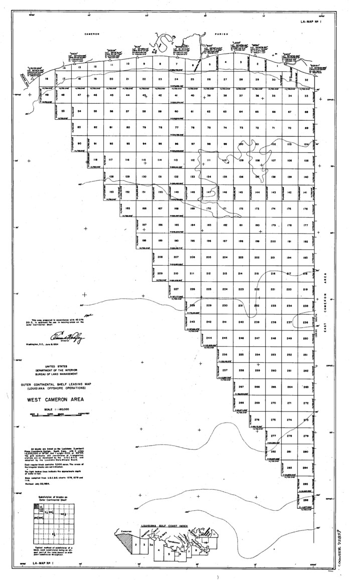
Outer Continental Shelf Leasing Maps (Louisiana Offshore Operations)

Print $20.00
- Digital $50.00
Outer Continental Shelf Leasing Maps (Louisiana Offshore Operations)
1955
Size 19.8 x 12.0 inches
Map/Doc 75859
Pecos County Working Sketch 100


Print $20.00
- Digital $50.00
Pecos County Working Sketch 100
1970
Size 42.9 x 31.6 inches
Map/Doc 71573
Sketch of Surveys on Caranchua and Tres Palacious Bayous, Jackson Co.


Print $2.00
- Digital $50.00
Sketch of Surveys on Caranchua and Tres Palacious Bayous, Jackson Co.
Size 7.9 x 7.8 inches
Map/Doc 69743
Maps & Lists Showing Prison Lands (Oil & Gas) Leased as of June 1955


Digital $50.00
Maps & Lists Showing Prison Lands (Oil & Gas) Leased as of June 1955
1930
Size 24.4 x 26.8 inches
Map/Doc 62876
Randall County Sketch File 1


Print $50.00
- Digital $50.00
Randall County Sketch File 1
1912
Size 24.6 x 35.6 inches
Map/Doc 12205
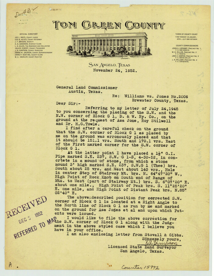
Brewster County Sketch File NS-7

Print $14.00
- Digital $50.00
Brewster County Sketch File NS-7
1945
Size 11.3 x 8.8 inches
Map/Doc 15992
You may also like
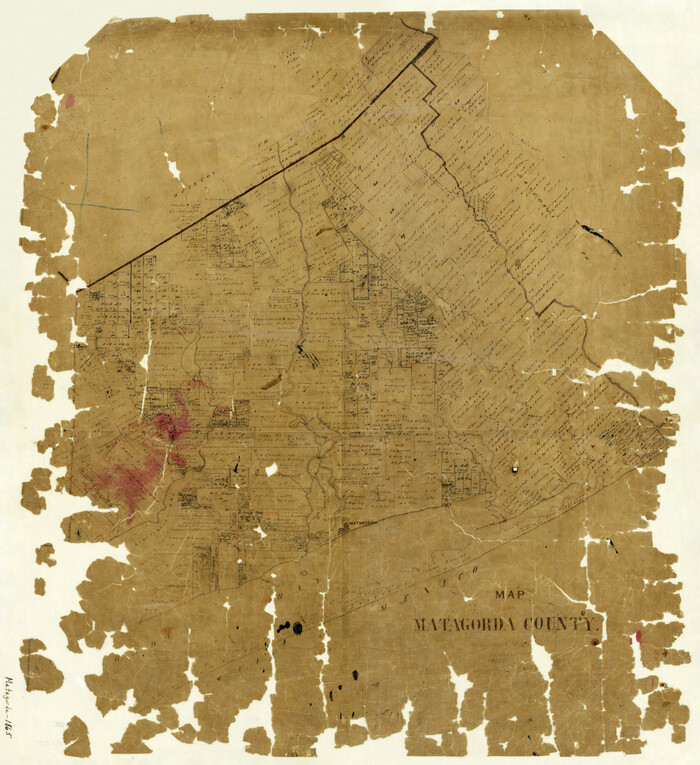
Map of Matagorda County

Print $20.00
- Digital $50.00
Map of Matagorda County
1865
Size 26.9 x 25.0 inches
Map/Doc 3842
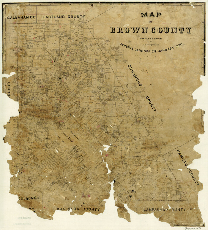
Map of Brown County

Print $20.00
- Digital $50.00
Map of Brown County
1876
Size 25.9 x 23.3 inches
Map/Doc 3341
Flight Mission No. CRC-4R, Frame 183, Chambers County

Print $20.00
- Digital $50.00
Flight Mission No. CRC-4R, Frame 183, Chambers County
1956
Size 18.5 x 22.2 inches
Map/Doc 84934
[Sketch showing Blocks 2B, 3B, 3T, IT and 2]
![91843, [Sketch showing Blocks 2B, 3B, 3T, IT and 2], Twichell Survey Records](https://historictexasmaps.com/wmedia_w700/maps/91843-1.tif.jpg)
![91843, [Sketch showing Blocks 2B, 3B, 3T, IT and 2], Twichell Survey Records](https://historictexasmaps.com/wmedia_w700/maps/91843-1.tif.jpg)
Print $20.00
- Digital $50.00
[Sketch showing Blocks 2B, 3B, 3T, IT and 2]
1918
Size 32.9 x 30.1 inches
Map/Doc 91843
Andrews County Sketch File 13


Print $12.00
- Digital $50.00
Andrews County Sketch File 13
1979
Size 14.2 x 8.7 inches
Map/Doc 12863
Reyno de la Nueva España a Principios del Siglo XIX


Print $20.00
- Digital $50.00
Reyno de la Nueva España a Principios del Siglo XIX
1885
Size 25.6 x 32.7 inches
Map/Doc 93751
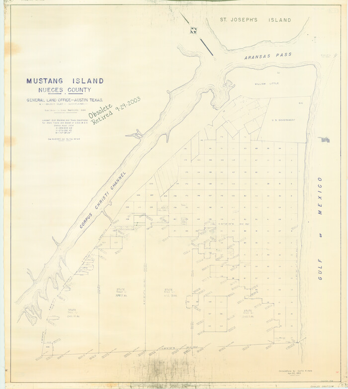
Mustang Island, Nueces County

Print $20.00
- Digital $50.00
Mustang Island, Nueces County
1952
Size 39.5 x 35.4 inches
Map/Doc 1918
The Texas and Oklahoma Official Railway and Hotel Guide Map


Print $20.00
The Texas and Oklahoma Official Railway and Hotel Guide Map
1906
Size 23.5 x 23.4 inches
Map/Doc 79316
Kleberg County Aerial Photograph Index Sheet 4


Print $20.00
- Digital $50.00
Kleberg County Aerial Photograph Index Sheet 4
1956
Size 19.3 x 23.3 inches
Map/Doc 83721
Nuevo Mapa Geographico de la America Septentrional, Perteneciente al Virreynato de Mexico


Print $20.00
- Digital $50.00
Nuevo Mapa Geographico de la America Septentrional, Perteneciente al Virreynato de Mexico
1768
Size 23.1 x 30.3 inches
Map/Doc 93835
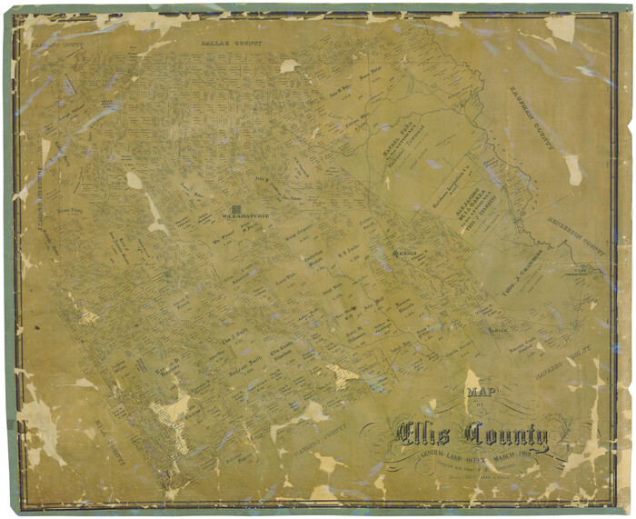
Map of Ellis County

Print $40.00
- Digital $50.00
Map of Ellis County
1889
Size 39.2 x 48.1 inches
Map/Doc 4712

