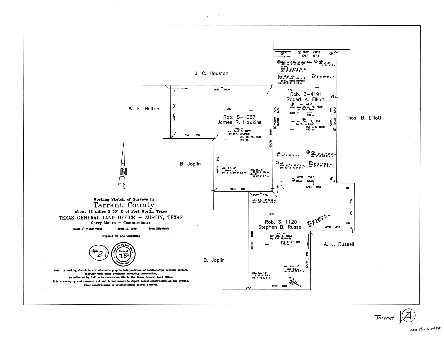
Tarrant County Working Sketch 21
-
Map/Doc
62438
-
Collection
General Map Collection
-
Object Dates
4/19/1999 (Creation Date)
-
People and Organizations
Joan Kilpatrick (Draftsman)
-
Counties
Tarrant
-
Subjects
Surveying Working Sketch
-
Height x Width
17.4 x 22.8 inches
44.2 x 57.9 cm
-
Scale
1" = 200 varas
Part of: General Map Collection
Hutchinson County Sketch File 43

Print $4.00
- Digital $50.00
Hutchinson County Sketch File 43
1891
Size 11.2 x 8.8 inches
Map/Doc 27309
Deaf Smith County Sketch File B

Print $20.00
- Digital $50.00
Deaf Smith County Sketch File B
Size 17.0 x 14.9 inches
Map/Doc 20626
Austin including Bergstrom AFB, Hays, Mansfield Dam, McKinney Falls State Park, Oak Hill, Rollingwood, San Leanna, Sunset Valley and West Lake Hills - also portions of Pflugerville

Austin including Bergstrom AFB, Hays, Mansfield Dam, McKinney Falls State Park, Oak Hill, Rollingwood, San Leanna, Sunset Valley and West Lake Hills - also portions of Pflugerville
Size 38.5 x 25.6 inches
Map/Doc 94376
Floyd County Sketch File 24

Print $6.00
- Digital $50.00
Floyd County Sketch File 24
1915
Size 9.0 x 14.5 inches
Map/Doc 22780
Presidio County Sketch File 104

Print $17.00
- Digital $50.00
Presidio County Sketch File 104
Size 11.3 x 8.7 inches
Map/Doc 34807
Map of Brazoria County

Print $20.00
- Digital $50.00
Map of Brazoria County
1883
Size 26.8 x 25.6 inches
Map/Doc 861
Flight Mission No. BQR-13K, Frame 21, Brazoria County

Print $20.00
- Digital $50.00
Flight Mission No. BQR-13K, Frame 21, Brazoria County
1952
Size 18.8 x 22.4 inches
Map/Doc 84069
Milam County Boundary File 2a

Print $10.00
- Digital $50.00
Milam County Boundary File 2a
Size 10.6 x 8.0 inches
Map/Doc 57208
Marion County Rolled Sketch 2

Print $40.00
- Digital $50.00
Marion County Rolled Sketch 2
1954
Size 89.3 x 45.7 inches
Map/Doc 63912
Hudspeth County Sketch File 13

Print $18.00
- Digital $50.00
Hudspeth County Sketch File 13
1915
Size 13.3 x 8.9 inches
Map/Doc 26929
Jefferson County Sketch File 37

Print $20.00
- Digital $50.00
Jefferson County Sketch File 37
Size 22.3 x 32.4 inches
Map/Doc 11875
McMullen County Rolled Sketch 3

Print $20.00
- Digital $50.00
McMullen County Rolled Sketch 3
1937
Size 16.2 x 37.2 inches
Map/Doc 6722
You may also like
Anderson County Working Sketch 19

Print $20.00
- Digital $50.00
Anderson County Working Sketch 19
1951
Size 15.5 x 29.2 inches
Map/Doc 67019
Val Verde County Working Sketch 117

Print $20.00
- Digital $50.00
Val Verde County Working Sketch 117
1993
Size 20.9 x 38.2 inches
Map/Doc 82841
Rusk County Sketch File 42

Print $6.00
Rusk County Sketch File 42
1951
Size 11.5 x 8.9 inches
Map/Doc 35582
Angelina County Working Sketch 37

Print $20.00
- Digital $50.00
Angelina County Working Sketch 37
1958
Size 25.7 x 19.1 inches
Map/Doc 67120
Flight Mission No. DQN-2K, Frame 142, Calhoun County

Print $20.00
- Digital $50.00
Flight Mission No. DQN-2K, Frame 142, Calhoun County
1953
Size 16.3 x 16.0 inches
Map/Doc 84311
Ward County Rolled Sketch 14

Print $20.00
- Digital $50.00
Ward County Rolled Sketch 14
1940
Size 18.5 x 26.2 inches
Map/Doc 8157
Orange County Sketch File B1

Print $22.00
- Digital $50.00
Orange County Sketch File B1
Size 14.3 x 8.9 inches
Map/Doc 33288
Irion County Sketch File 8

Print $6.00
- Digital $50.00
Irion County Sketch File 8
Size 14.5 x 9.8 inches
Map/Doc 27473
Flight Mission No. DQO-3K, Frame 14, Galveston County

Print $20.00
- Digital $50.00
Flight Mission No. DQO-3K, Frame 14, Galveston County
1952
Size 18.8 x 22.4 inches
Map/Doc 85055
Gregg County Working Sketch 4

Print $20.00
- Digital $50.00
Gregg County Working Sketch 4
1931
Size 29.1 x 32.9 inches
Map/Doc 63270
Harris County Working Sketch 84

Print $20.00
- Digital $50.00
Harris County Working Sketch 84
1970
Size 36.2 x 33.7 inches
Map/Doc 65976
The Land Offices. December 22, 1836

Print $20.00
The Land Offices. December 22, 1836
2020
Size 24.7 x 21.7 inches
Map/Doc 96425