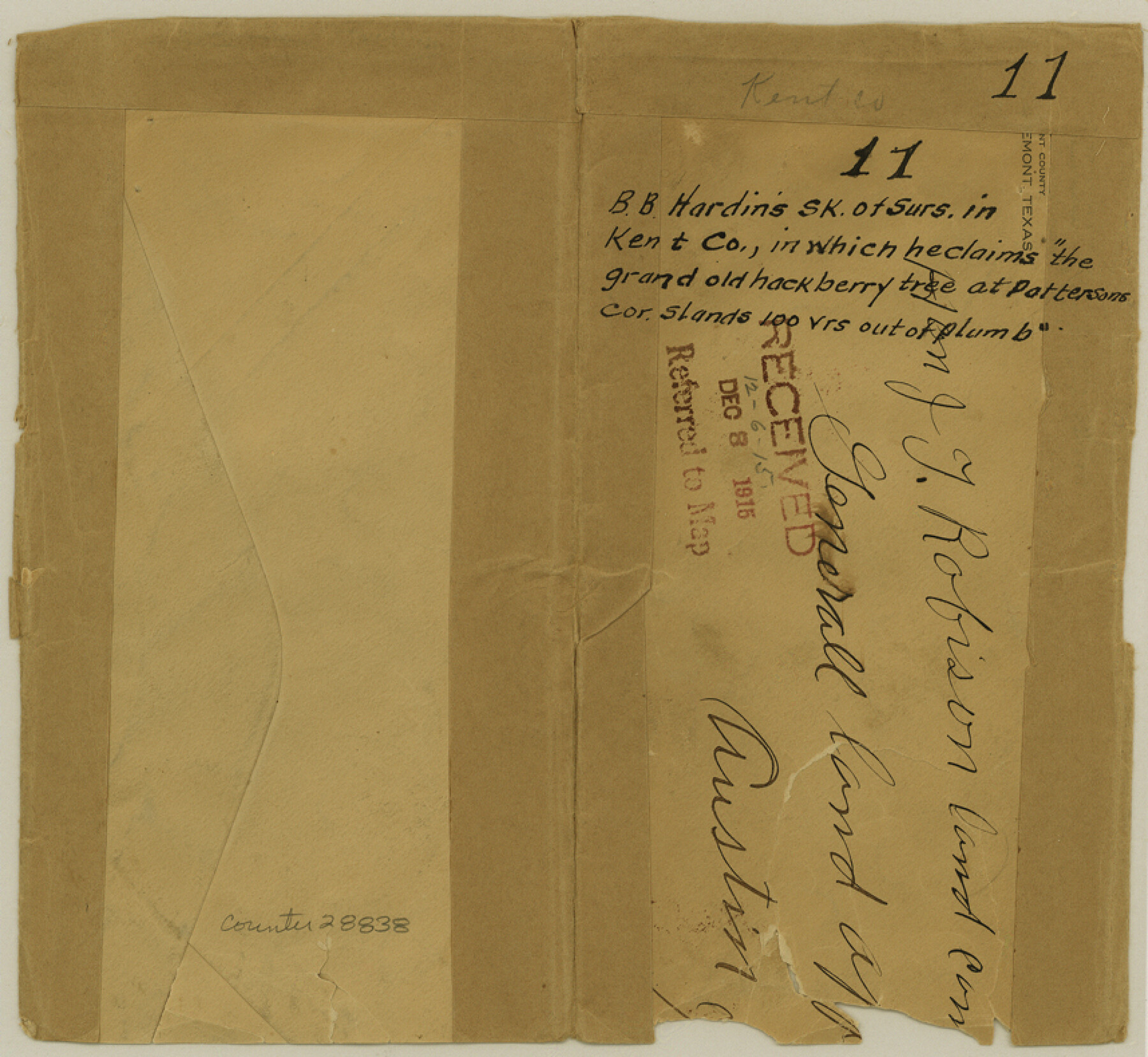
Kent County Sketch File 11
[Sketch of area between Block 1, H. & G. N. R.R. Co., and Block H. T. & B. R.R. Co. in northeast part of the county]
-
Map/Doc
28838
-
Collection
General Map Collection
-
Object Dates
12/4/1915 (Creation Date)
12/8/1915 (File Date)
-
People and Organizations
B.B. Hardin (Surveyor/Engineer)
-
Counties
Kent
-
Subjects
Surveying Sketch File
-
Height x Width
7.9 x 8.6 inches
20.1 x 21.8 cm
-
Medium
paper, manuscript
Part of: General Map Collection
Gulf of Mexico

Print $20.00
- Digital $50.00
Gulf of Mexico
1908
Size 18.3 x 27.1 inches
Map/Doc 72656
Bosque County Sketch File 2

Print $4.00
- Digital $50.00
Bosque County Sketch File 2
1847
Size 7.8 x 12.4 inches
Map/Doc 14740
Runnels County Rolled Sketch 43

Print $20.00
- Digital $50.00
Runnels County Rolled Sketch 43
Size 28.3 x 45.8 inches
Map/Doc 7531

Lubbock County

Print $20.00
- Digital $50.00
Lubbock County
1915
Size 46.1 x 40.0 inches
Map/Doc 66911
Reagan County Rolled Sketch 15

Print $20.00
- Digital $50.00
Reagan County Rolled Sketch 15
Size 16.7 x 22.7 inches
Map/Doc 7443
Stephens County Working Sketch 16

Print $20.00
- Digital $50.00
Stephens County Working Sketch 16
1968
Size 21.4 x 30.4 inches
Map/Doc 63959
Hudspeth County Rolled Sketch 73

Print $40.00
- Digital $50.00
Hudspeth County Rolled Sketch 73
1992
Size 38.9 x 49.3 inches
Map/Doc 9236
Map of Zapata County

Print $20.00
- Digital $50.00
Map of Zapata County
1880
Size 27.1 x 25.7 inches
Map/Doc 4177
Frio County Rolled Sketch 6

Print $20.00
- Digital $50.00
Frio County Rolled Sketch 6
1938
Size 42.7 x 32.6 inches
Map/Doc 76019
Drum, Oyster and Bastrop Bays and Vicinity; Brazoria County, showing Subdivision for Mineral Development

Print $20.00
- Digital $50.00
Drum, Oyster and Bastrop Bays and Vicinity; Brazoria County, showing Subdivision for Mineral Development
1949
Size 35.4 x 45.4 inches
Map/Doc 1908
Ellis County Working Sketch Graphic Index

Print $20.00
- Digital $50.00
Ellis County Working Sketch Graphic Index
1943
Size 43.1 x 47.7 inches
Map/Doc 76535
You may also like
Flight Mission No. DQN-7K, Frame 90, Calhoun County

Print $20.00
- Digital $50.00
Flight Mission No. DQN-7K, Frame 90, Calhoun County
1953
Size 18.6 x 22.2 inches
Map/Doc 84481
[F. W. & D. C. Ry. Co. Alignment and Right of Way Map, Clay County]
![64723, [F. W. & D. C. Ry. Co. Alignment and Right of Way Map, Clay County], General Map Collection](https://historictexasmaps.com/wmedia_w700/maps/64723-1.tif.jpg)
Print $20.00
- Digital $50.00
[F. W. & D. C. Ry. Co. Alignment and Right of Way Map, Clay County]
1927
Size 18.6 x 11.8 inches
Map/Doc 64723
Leon County Rolled Sketch 36

Print $20.00
- Digital $50.00
Leon County Rolled Sketch 36
Size 18.1 x 24.0 inches
Map/Doc 95352
Montgomery County Sketch File 39

Print $4.00
- Digital $50.00
Montgomery County Sketch File 39
1941
Size 14.6 x 8.6 inches
Map/Doc 31923
Rusk County Working Sketch 8

Print $20.00
- Digital $50.00
Rusk County Working Sketch 8
1981
Size 22.4 x 20.6 inches
Map/Doc 63643
Brewster County Sketch File 46

Print $16.00
- Digital $50.00
Brewster County Sketch File 46
1939
Size 9.3 x 6.2 inches
Map/Doc 16313
Hall County Sketch File 32a

Print $56.00
- Digital $50.00
Hall County Sketch File 32a
1911
Size 14.4 x 8.6 inches
Map/Doc 24846
Fort Bend County Working Sketch 28

Print $20.00
- Digital $50.00
Fort Bend County Working Sketch 28
1982
Size 15.8 x 20.1 inches
Map/Doc 69234
Flight Mission No. DQN-1K, Frame 35, Calhoun County

Print $20.00
- Digital $50.00
Flight Mission No. DQN-1K, Frame 35, Calhoun County
1953
Size 18.5 x 19.0 inches
Map/Doc 84140
Hardin County

Print $20.00
- Digital $50.00
Hardin County
1940
Size 40.7 x 37.7 inches
Map/Doc 77303
Coryell County

Print $20.00
- Digital $50.00
Coryell County
1936
Size 44.6 x 40.1 inches
Map/Doc 77249
