[F. W. & D. C. Ry. Co. Alignment and Right of Way Map, Clay County]
Z-2-203
-
Map/Doc
64723
-
Collection
General Map Collection
-
Object Dates
8/18/1927 (Creation Date)
-
People and Organizations
Office of Engineer Maintenance of Way (Publisher)
-
Counties
Clay
-
Subjects
Railroads
-
Height x Width
18.6 x 11.8 inches
47.2 x 30.0 cm
-
Medium
paper, photocopy
-
Scale
1" = 400 feet
-
Comments
See 64722 and 64724 through 64747 for all segments of this map.
-
Features
FW&DC
Dickworsham
Part of: General Map Collection
Real County Rolled Sketch 7

Print $20.00
- Digital $50.00
Real County Rolled Sketch 7
Size 24.5 x 29.9 inches
Map/Doc 7457
Bowie County Rolled Sketch 2


Print $40.00
- Digital $50.00
Bowie County Rolled Sketch 2
Size 37.8 x 51.3 inches
Map/Doc 8454
Jefferson County Rolled Sketch 41

Print $20.00
- Digital $50.00
Jefferson County Rolled Sketch 41
1897
Size 17.6 x 25.4 inches
Map/Doc 6400
Northeast Part Pecos County

Print $20.00
- Digital $50.00
Northeast Part Pecos County
1975
Size 36.9 x 43.4 inches
Map/Doc 95611
San Patricio County Sketch File 16

Print $4.00
San Patricio County Sketch File 16
1880
Size 12.9 x 8.0 inches
Map/Doc 36064
Cameron County Rolled Sketch 29

Print $20.00
- Digital $50.00
Cameron County Rolled Sketch 29
1990
Size 29.3 x 46.4 inches
Map/Doc 8578
San Augustine County Working Sketch 12

Print $20.00
- Digital $50.00
San Augustine County Working Sketch 12
1951
Size 29.0 x 21.0 inches
Map/Doc 63700
Concho County Sketch File 20

Print $20.00
- Digital $50.00
Concho County Sketch File 20
Size 17.0 x 18.2 inches
Map/Doc 11154
Flight Mission No. CUG-3P, Frame 190, Kleberg County

Print $20.00
- Digital $50.00
Flight Mission No. CUG-3P, Frame 190, Kleberg County
1956
Size 18.6 x 22.4 inches
Map/Doc 86294
Donley County Sketch File 24
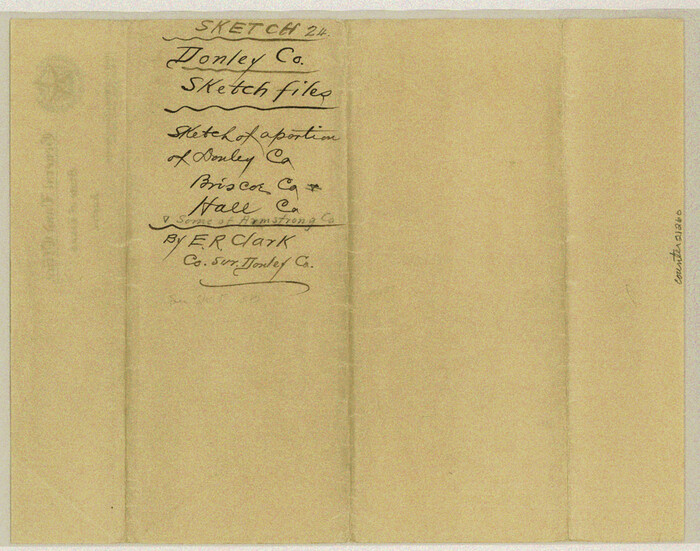

Print $2.00
- Digital $50.00
Donley County Sketch File 24
Size 9.0 x 11.4 inches
Map/Doc 21260
Flight Mission No. BRA-16M, Frame 121, Jefferson County
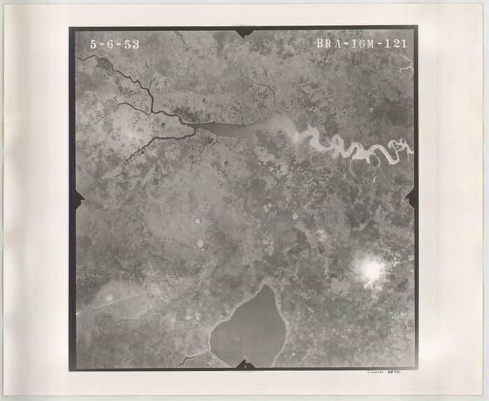

Print $20.00
- Digital $50.00
Flight Mission No. BRA-16M, Frame 121, Jefferson County
1953
Size 18.4 x 22.4 inches
Map/Doc 85731
You may also like
Pecos County Working Sketch 64
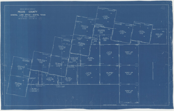

Print $20.00
- Digital $50.00
Pecos County Working Sketch 64
1955
Size 27.7 x 43.4 inches
Map/Doc 71536
Jackson County Boundary File 2
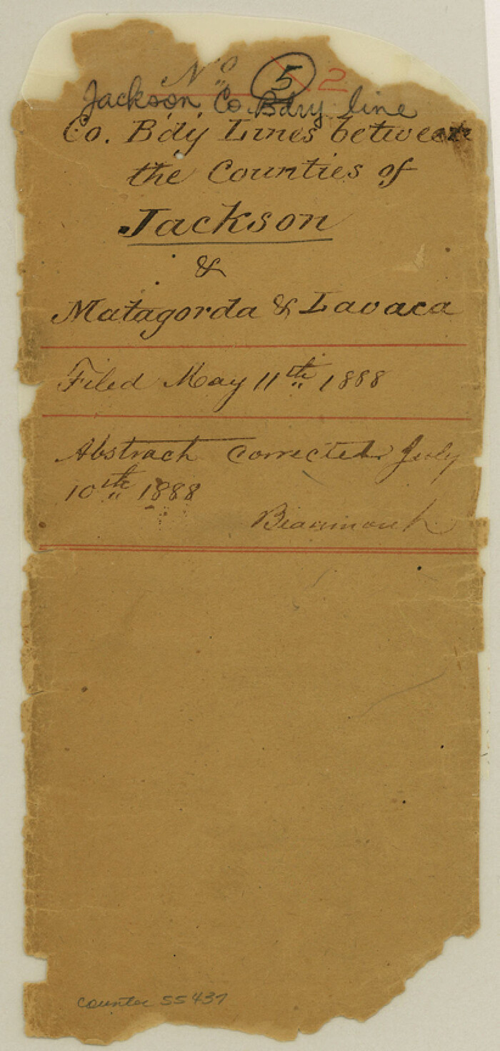

Print $22.00
- Digital $50.00
Jackson County Boundary File 2
Size 8.6 x 4.1 inches
Map/Doc 55437
Marion County Rolled Sketch 7
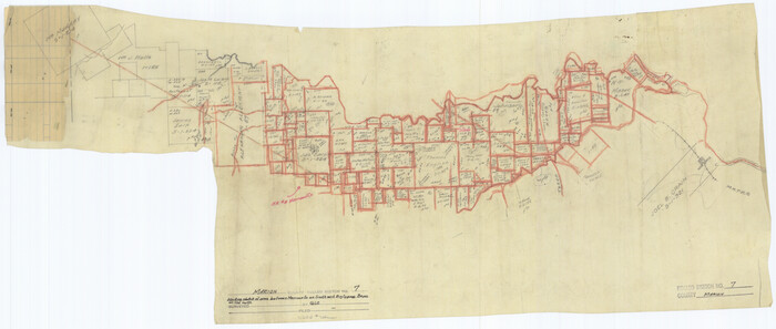

Print $20.00
- Digital $50.00
Marion County Rolled Sketch 7
Size 13.1 x 30.9 inches
Map/Doc 6660
[Map of T&P Blocks 1 and 2 in Jeff Davis and Presidio Counties]
![88959, [Map of T&P Blocks 1 and 2 in Jeff Davis and Presidio Counties], Library of Congress](https://historictexasmaps.com/wmedia_w700/maps/88959.tif.jpg)
![88959, [Map of T&P Blocks 1 and 2 in Jeff Davis and Presidio Counties], Library of Congress](https://historictexasmaps.com/wmedia_w700/maps/88959.tif.jpg)
Print $20.00
[Map of T&P Blocks 1 and 2 in Jeff Davis and Presidio Counties]
Size 22.2 x 17.3 inches
Map/Doc 88959
Lamb County Boundary File 4
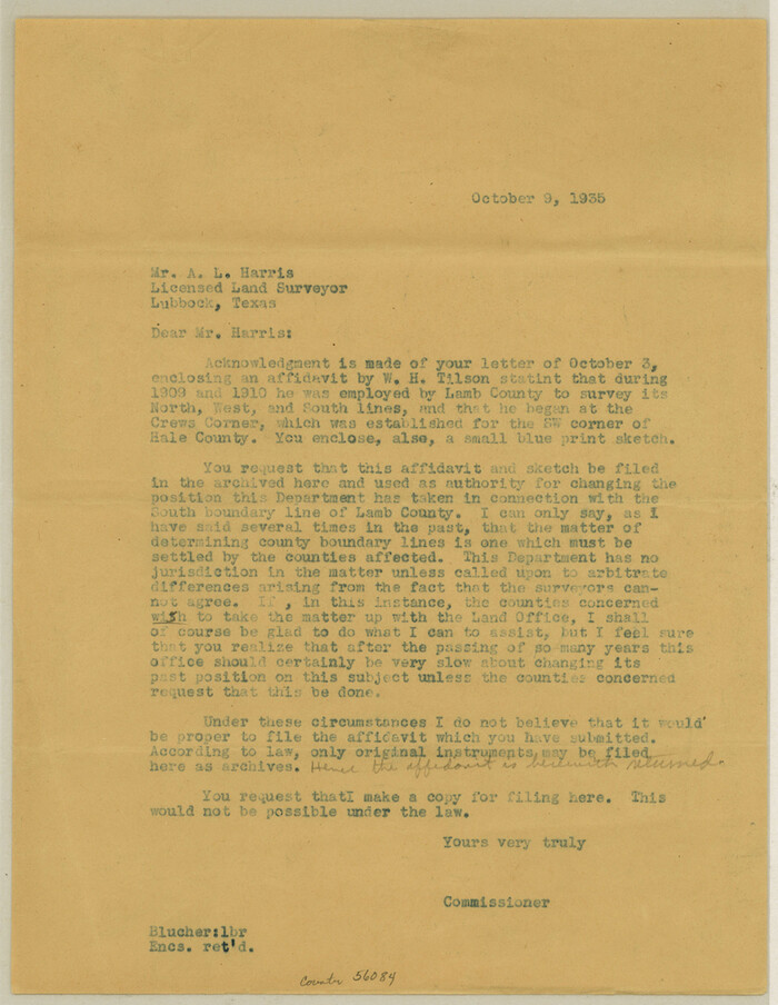

Print $16.00
- Digital $50.00
Lamb County Boundary File 4
Size 11.3 x 8.7 inches
Map/Doc 56084
Mitchell County Sketch File 13


Print $20.00
- Digital $50.00
Mitchell County Sketch File 13
1925
Size 19.3 x 16.3 inches
Map/Doc 12100
Haskell County Boundary File 3


Print $6.00
- Digital $50.00
Haskell County Boundary File 3
Size 11.0 x 8.6 inches
Map/Doc 54539
Dallas County Sketch File 5


Print $18.00
- Digital $50.00
Dallas County Sketch File 5
1858
Size 10.5 x 8.4 inches
Map/Doc 20400
San Patricio County Rolled Sketch 20


Print $20.00
- Digital $50.00
San Patricio County Rolled Sketch 20
1953
Size 37.6 x 31.9 inches
Map/Doc 7578
Jeff Davis County Sketch File 18
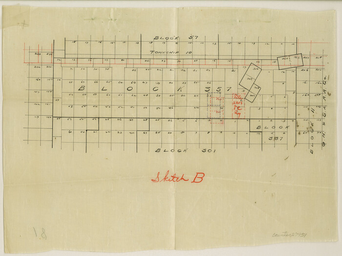

Print $71.00
- Digital $50.00
Jeff Davis County Sketch File 18
Size 9.7 x 12.9 inches
Map/Doc 27951
Right of Way Map Fort Worth & Denver City Railroad through Hardeman County
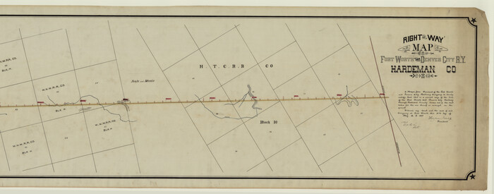

Print $40.00
- Digital $50.00
Right of Way Map Fort Worth & Denver City Railroad through Hardeman County
1885
Size 23.8 x 60.4 inches
Map/Doc 64425
Hardin County Sketch File 32
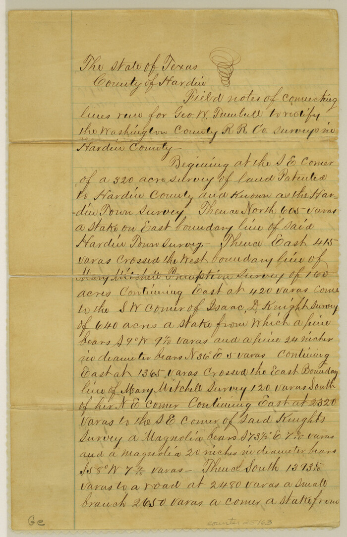

Print $8.00
- Digital $50.00
Hardin County Sketch File 32
Size 12.9 x 8.3 inches
Map/Doc 25163
![64723, [F. W. & D. C. Ry. Co. Alignment and Right of Way Map, Clay County], General Map Collection](https://historictexasmaps.com/wmedia_w1800h1800/maps/64723-1.tif.jpg)
