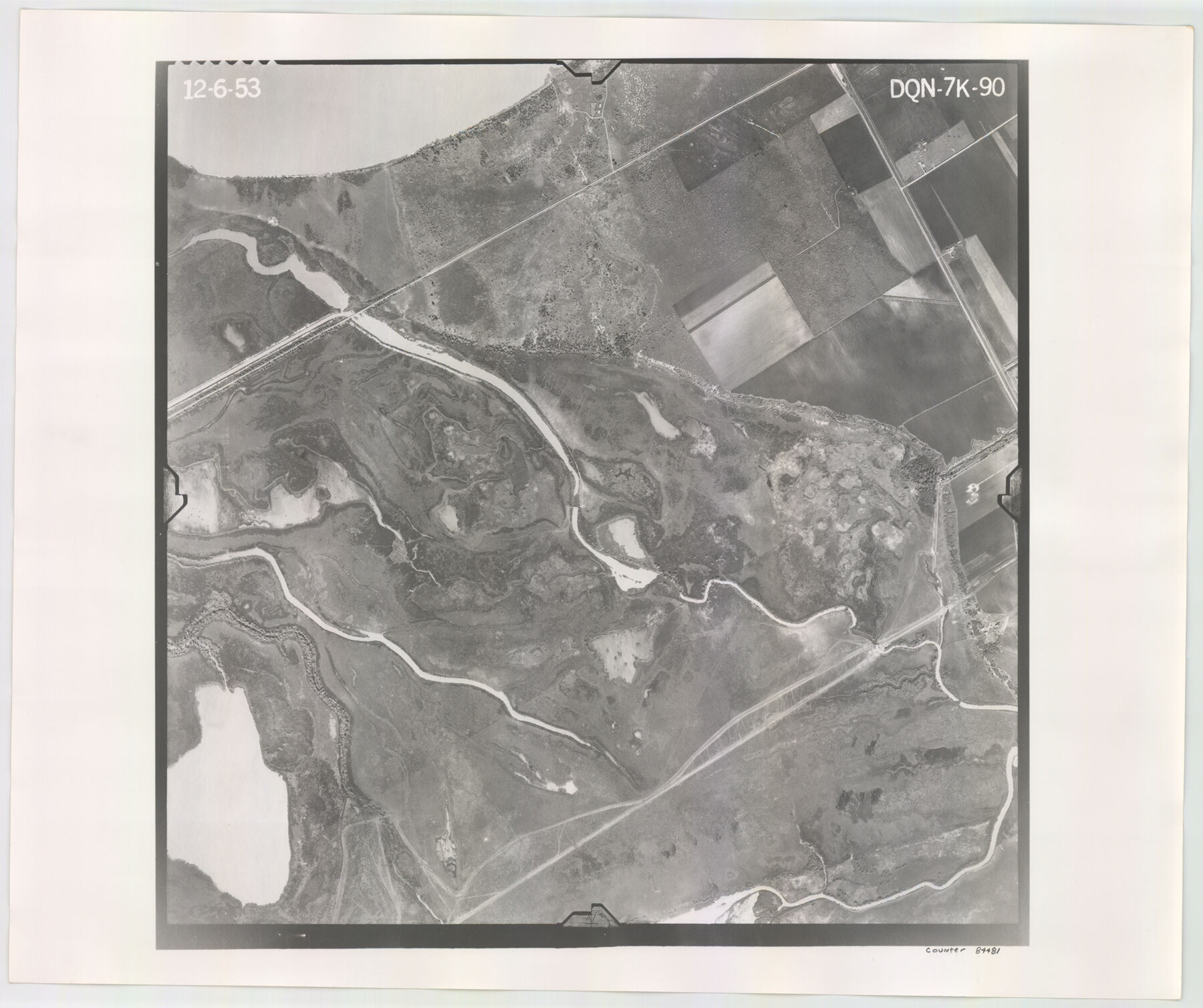
Flight Mission No. DQN-7K, Frame 90, Calhoun County
DQN-7K-90
-
Map/Doc
84481
-
Collection
General Map Collection
-
Object Dates
1953/12/6 (Creation Date)
-
People and Organizations
U. S. Department of Agriculture (Publisher)
-
Counties
Calhoun
-
Subjects
Aerial Photograph
-
Height x Width
18.6 x 22.2 inches
47.2 x 56.4 cm
-
Comments
Flown by Aero Exploration Company of Tulsa, Oklahoma.
Part of: General Map Collection
Flight Mission No. DQN-5K, Frame 146, Calhoun County

Print $20.00
- Digital $50.00
Flight Mission No. DQN-5K, Frame 146, Calhoun County
1953
Size 18.6 x 22.2 inches
Map/Doc 84421
Upshur County Sketch File 3a

Print $2.00
- Digital $50.00
Upshur County Sketch File 3a
Size 6.5 x 7.1 inches
Map/Doc 38736
Presidio County Sketch File 102

Print $4.00
- Digital $50.00
Presidio County Sketch File 102
Size 11.3 x 8.8 inches
Map/Doc 34793
Leon County Rolled Sketch 30

Print $20.00
- Digital $50.00
Leon County Rolled Sketch 30
Size 30.9 x 25.7 inches
Map/Doc 6613
Pecos County Sketch File 99

Print $16.00
- Digital $50.00
Pecos County Sketch File 99
Size 11.2 x 8.8 inches
Map/Doc 34004
Brewster County Sketch File N-7

Print $40.00
- Digital $50.00
Brewster County Sketch File N-7
1914
Size 16.7 x 13.9 inches
Map/Doc 15608
Deaf Smith County Sketch File B

Print $20.00
- Digital $50.00
Deaf Smith County Sketch File B
Size 17.0 x 14.9 inches
Map/Doc 20626
Map of Wood County

Print $20.00
- Digital $50.00
Map of Wood County
1857
Size 22.5 x 29.1 inches
Map/Doc 4165
Panola County Sketch File 21

Print $10.00
- Digital $50.00
Panola County Sketch File 21
Size 11.2 x 8.7 inches
Map/Doc 33487
Atascosa County Sketch File 9

Print $4.00
- Digital $50.00
Atascosa County Sketch File 9
1858
Size 8.1 x 12.6 inches
Map/Doc 13763
Angelina County Sketch File 11

Print $10.00
- Digital $50.00
Angelina County Sketch File 11
1859
Size 12.4 x 8.3 inches
Map/Doc 12937
Current Miscellaneous File 118

Print $214.00
- Digital $50.00
Current Miscellaneous File 118
Map/Doc 87238
You may also like
The Republic County of Harris. January 25, 1840

Print $20.00
The Republic County of Harris. January 25, 1840
2020
Size 17.7 x 21.7 inches
Map/Doc 96165
El Paso County Rolled Sketch 30

Print $20.00
- Digital $50.00
El Paso County Rolled Sketch 30
1906
Size 40.9 x 22.8 inches
Map/Doc 5825
Webb County Rolled Sketch 60

Print $20.00
- Digital $50.00
Webb County Rolled Sketch 60
1947
Size 30.0 x 33.8 inches
Map/Doc 8211
Presidio County Working Sketch 59

Print $20.00
- Digital $50.00
Presidio County Working Sketch 59
1956
Size 20.6 x 22.6 inches
Map/Doc 71736
Crane County Sketch File 1

Print $20.00
- Digital $50.00
Crane County Sketch File 1
Size 44.8 x 14.6 inches
Map/Doc 10343
Armstrong County Rolled Sketch B

Print $20.00
- Digital $50.00
Armstrong County Rolled Sketch B
1903
Size 25.9 x 37.0 inches
Map/Doc 5084
Engineer's Office, Department of the Gulf Map No. 59, Texas prepared by order of Maj. Gen. N. P. Banks under direction of Capt. P. C. Hains, U. S. Engr. & Chief Engr., Dept. of the Gulf

Print $20.00
- Digital $50.00
Engineer's Office, Department of the Gulf Map No. 59, Texas prepared by order of Maj. Gen. N. P. Banks under direction of Capt. P. C. Hains, U. S. Engr. & Chief Engr., Dept. of the Gulf
1865
Size 18.3 x 27.6 inches
Map/Doc 72717
Double Lakes No. 1, T-Ranch

Print $20.00
- Digital $50.00
Double Lakes No. 1, T-Ranch
Size 37.1 x 34.0 inches
Map/Doc 92944
Terrell County Rolled Sketch 19A

Print $20.00
- Digital $50.00
Terrell County Rolled Sketch 19A
1886
Size 19.8 x 11.1 inches
Map/Doc 7928
United States - Gulf Coast Texas - Northern part of Laguna Madre

Print $20.00
- Digital $50.00
United States - Gulf Coast Texas - Northern part of Laguna Madre
1941
Size 26.7 x 18.3 inches
Map/Doc 72934

Harris County Rolled Sketch 89

Print $20.00
- Digital $50.00
Harris County Rolled Sketch 89
1899
Size 22.1 x 35.3 inches
Map/Doc 6128