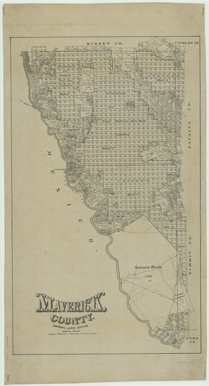
Dimmit County Rolled Sketch 16
1964

Dimmit County Sketch File 10

Dimmit County Sketch File 17
1886
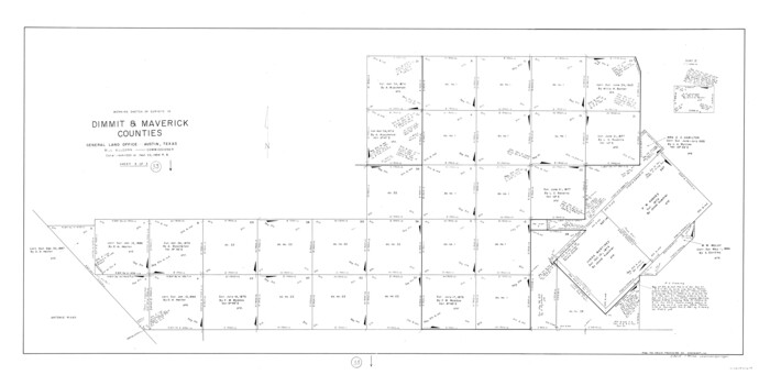
Dimmit County Working Sketch 33
1959
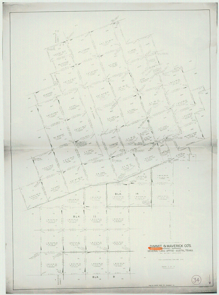
Dimmit County Working Sketch 34
1959
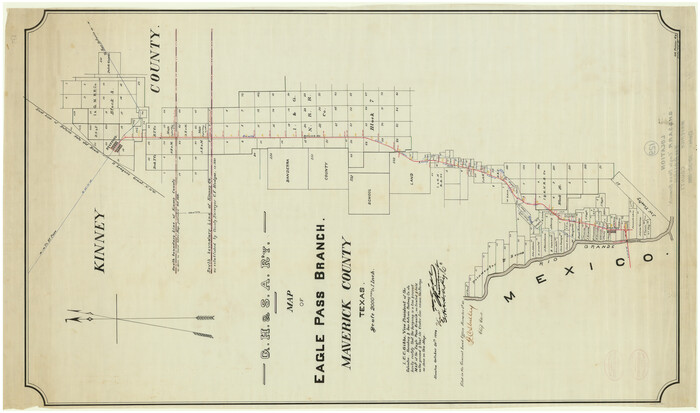
Galveston, Harrisburg & San Antonio Railway, Map of Eagle Pass Branch
1888

General Highway Map, Maverick County, Texas
1961

General Highway Map, Maverick County, Zavala County, Texas
1940

Kinney County Sketch File 5
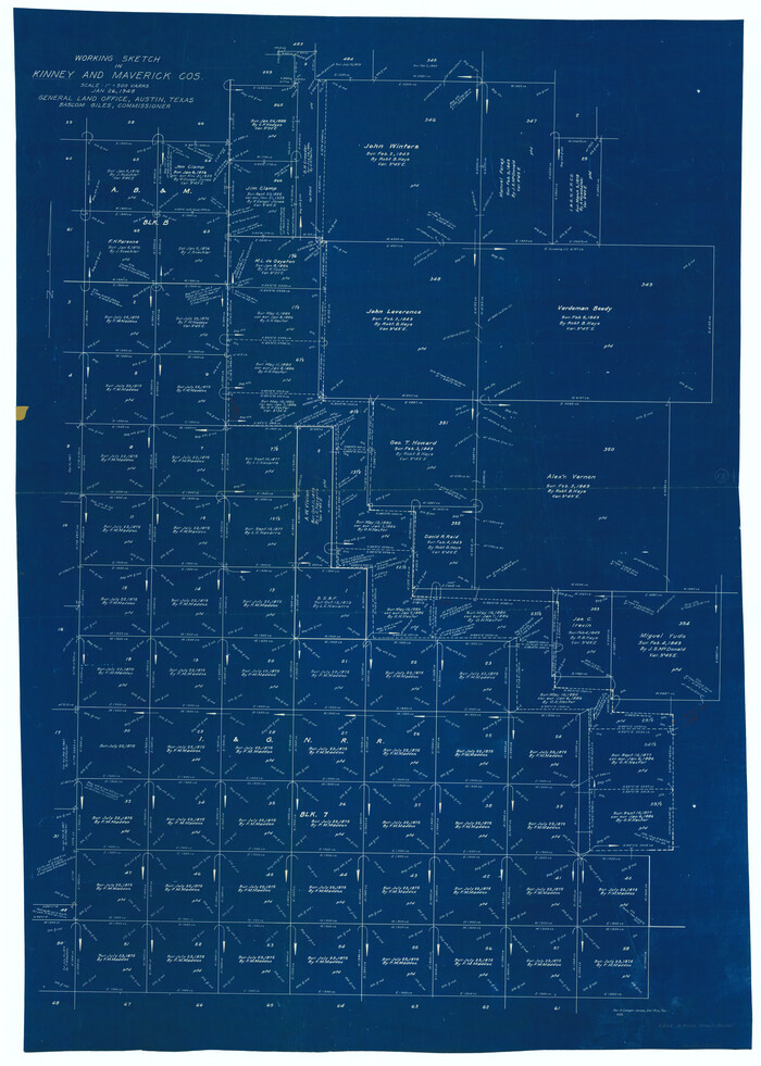
Kinney County Working Sketch 18
1948

Kinney County Working Sketch 19
1948

Kinney County Working Sketch 46
1978
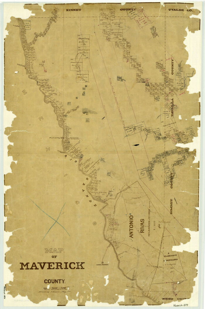
Map of Maverick County
1874
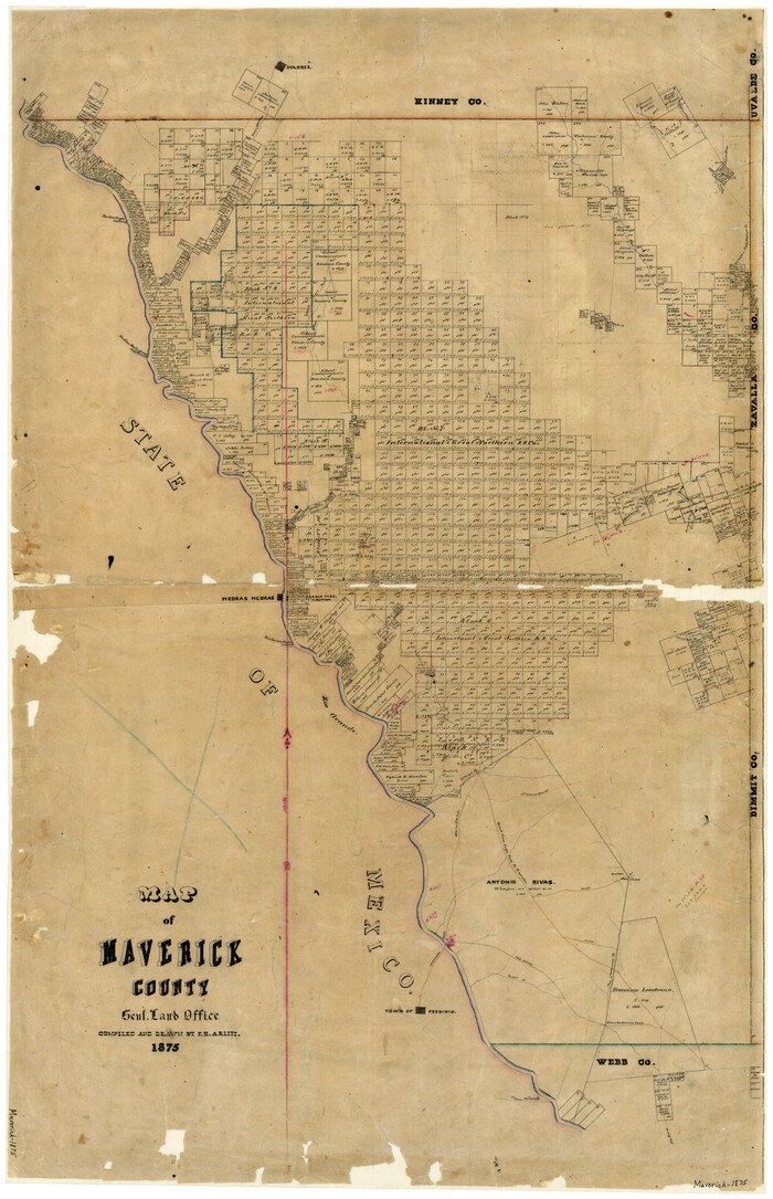
Map of Maverick County
1875
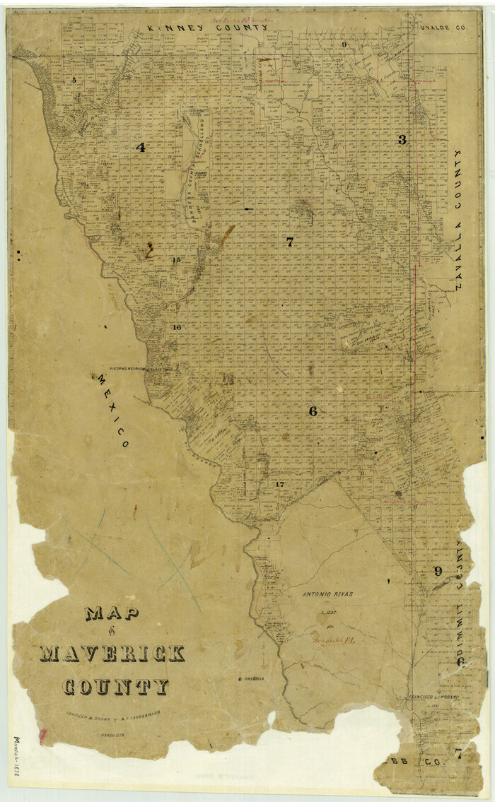
Map of Maverick County
1878
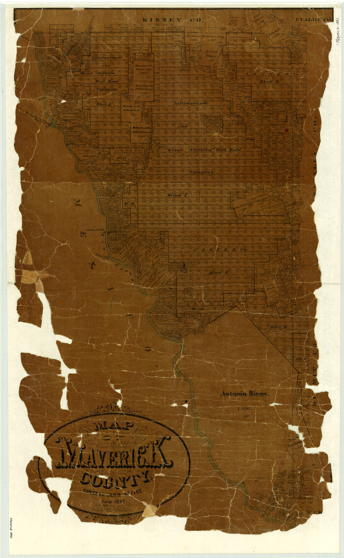
Map of Maverick County
1892
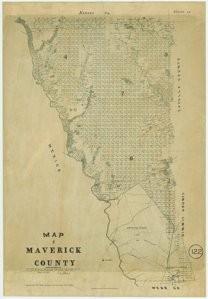
Map of Maverick County, Texas
1879

Map of the Western Part of Bexar District
1849
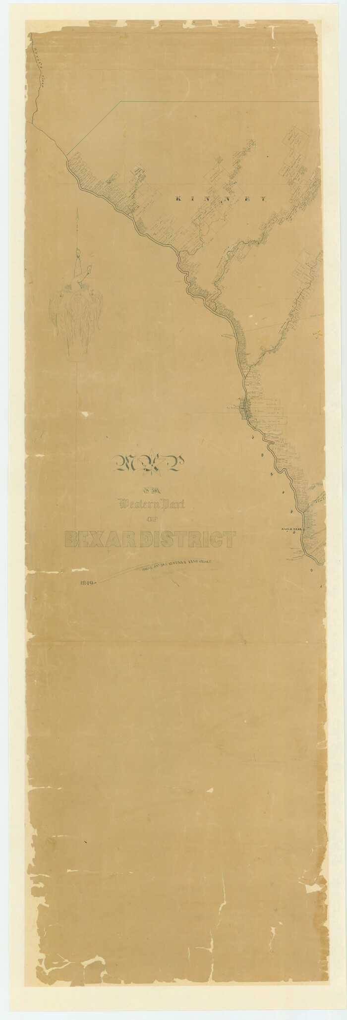
Map of the Western Part of Bexar District
1849
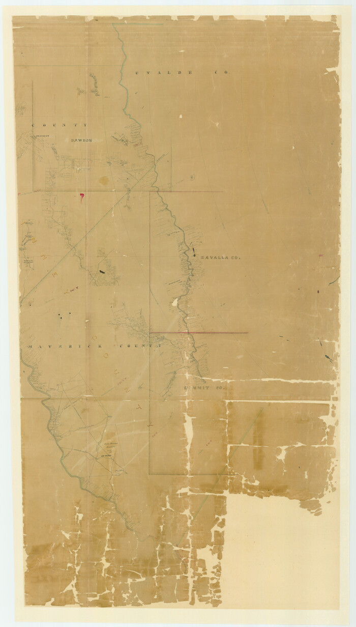
Map of the Western Part of Bexar District
1849
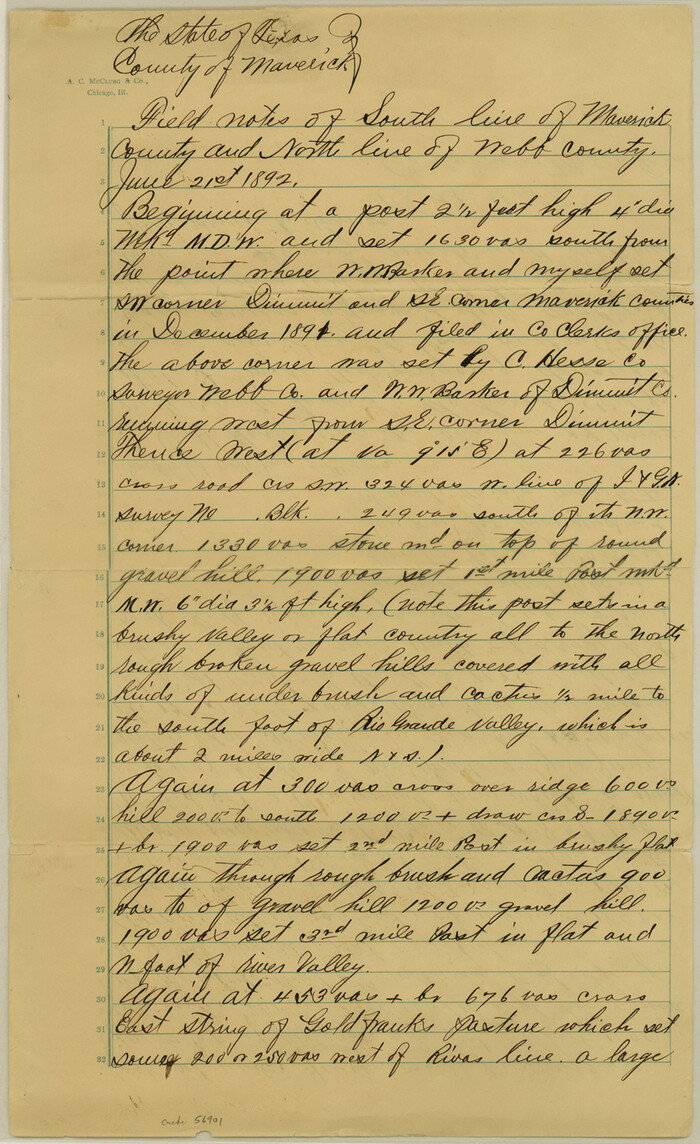
Maverick County Boundary File 1

Maverick County Rolled Sketch 13
1848

Dimmit County Rolled Sketch 16
1964
-
Size
30.5 x 48.3 inches
-
Map/Doc
8798
-
Creation Date
1964

Dimmit County Sketch File 10
-
Size
23.5 x 22.6 inches
-
Map/Doc
11338

Dimmit County Sketch File 17
1886
-
Size
11.0 x 13.7 inches
-
Map/Doc
21081
-
Creation Date
1886

Dimmit County Working Sketch 33
1959
-
Size
27.0 x 53.8 inches
-
Map/Doc
68694
-
Creation Date
1959

Dimmit County Working Sketch 34
1959
-
Size
22.8 x 17.0 inches
-
Map/Doc
68695
-
Creation Date
1959

Galveston, Harrisburg & San Antonio Railway, Map of Eagle Pass Branch
1888
-
Size
42.7 x 25.8 inches
-
Map/Doc
64462
-
Creation Date
1888

General Highway Map, Maverick County, Texas
1961
-
Size
18.2 x 24.6 inches
-
Map/Doc
79587
-
Creation Date
1961

General Highway Map, Maverick County, Zavala County, Texas
1940
-
Size
18.6 x 24.7 inches
-
Map/Doc
79189
-
Creation Date
1940

Kinney County Sketch File 5
-
Size
5.7 x 13.1 inches
-
Map/Doc
29123

Kinney County Working Sketch 18
1948
-
Size
56.7 x 40.5 inches
-
Map/Doc
70200
-
Creation Date
1948

Kinney County Working Sketch 19
1948
-
Size
32.0 x 35.7 inches
-
Map/Doc
70201
-
Creation Date
1948

Kinney County Working Sketch 46
1978
-
Size
44.3 x 35.1 inches
-
Map/Doc
70228
-
Creation Date
1978

Map of Maverick County
1874
-
Size
31.5 x 20.9 inches
-
Map/Doc
3848
-
Creation Date
1874

Map of Maverick County
1875
-
Size
36.3 x 23.7 inches
-
Map/Doc
3849
-
Creation Date
1875

Map of Maverick County
1878
-
Size
33.4 x 20.6 inches
-
Map/Doc
3850
-
Creation Date
1878

Map of Maverick County
1892
-
Size
34.4 x 21.2 inches
-
Map/Doc
3852
-
Creation Date
1892
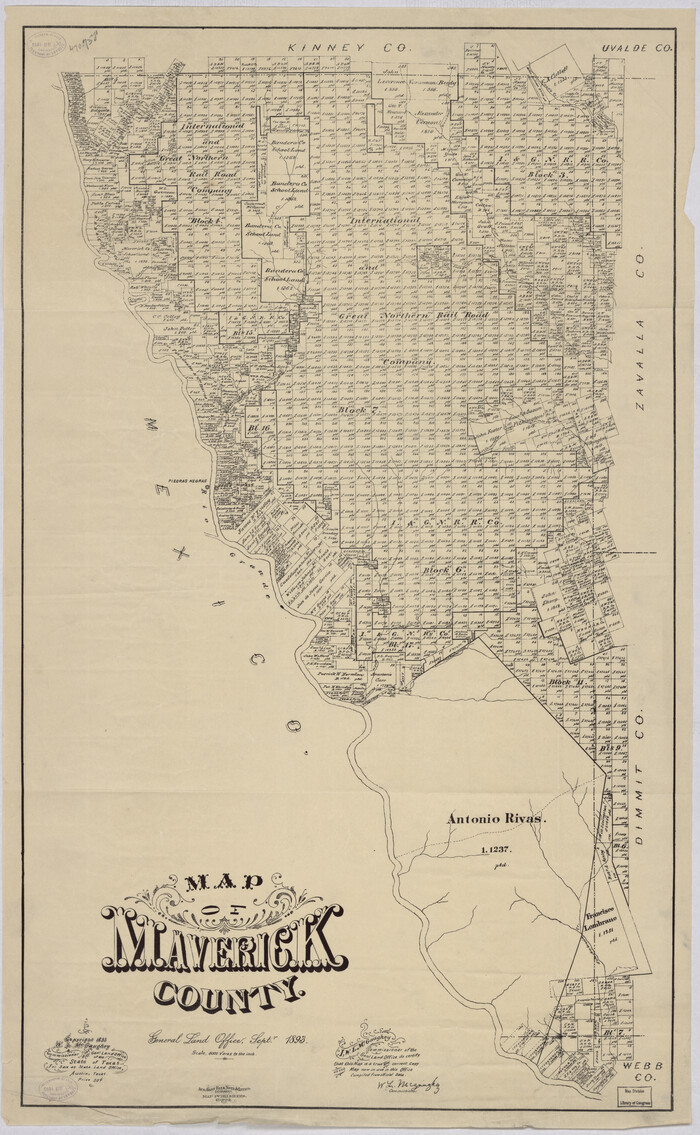
Map of Maverick County
1893
-
Size
33.9 x 20.9 inches
-
Map/Doc
88979
-
Creation Date
1893

Map of Maverick County, Texas
1879
-
Size
33.0 x 23.0 inches
-
Map/Doc
718
-
Creation Date
1879

Map of the Western Part of Bexar District
1849
-
Size
64.0 x 54.3 inches
-
Map/Doc
16944
-
Creation Date
1849

Map of the Western Part of Bexar District
1849
-
Size
63.5 x 21.6 inches
-
Map/Doc
87375
-
Creation Date
1849

Map of the Western Part of Bexar District
1849
-
Size
63.7 x 36.2 inches
-
Map/Doc
87376
-
Creation Date
1849

Maverick Co.
1947
-
Size
47.8 x 31.6 inches
-
Map/Doc
66920
-
Creation Date
1947
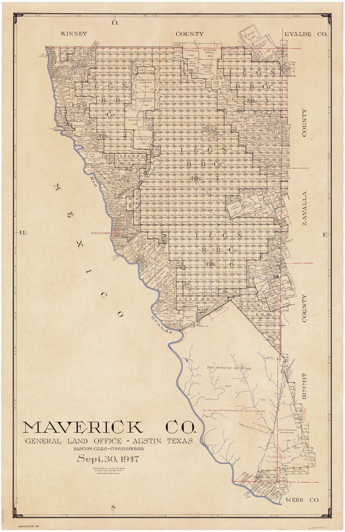
Maverick Co.
1947
-
Size
47.4 x 31.0 inches
-
Map/Doc
73233
-
Creation Date
1947

Maverick Co.
1947
-
Size
45.2 x 28.9 inches
-
Map/Doc
77369
-
Creation Date
1947

Maverick Co.
1947
-
Size
48.6 x 32.6 inches
-
Map/Doc
95583
-
Creation Date
1947
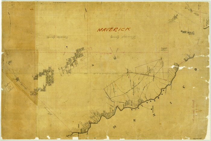
Maverick County
1863
-
Size
24.4 x 36.6 inches
-
Map/Doc
3847
-
Creation Date
1863

Maverick County
1878
-
Size
33.4 x 21.4 inches
-
Map/Doc
3851
-
Creation Date
1878

Maverick County Boundary File 1
-
Size
14.2 x 8.7 inches
-
Map/Doc
56901

Maverick County Rolled Sketch 13
1848
-
Size
34.4 x 26.5 inches
-
Map/Doc
6706
-
Creation Date
1848
