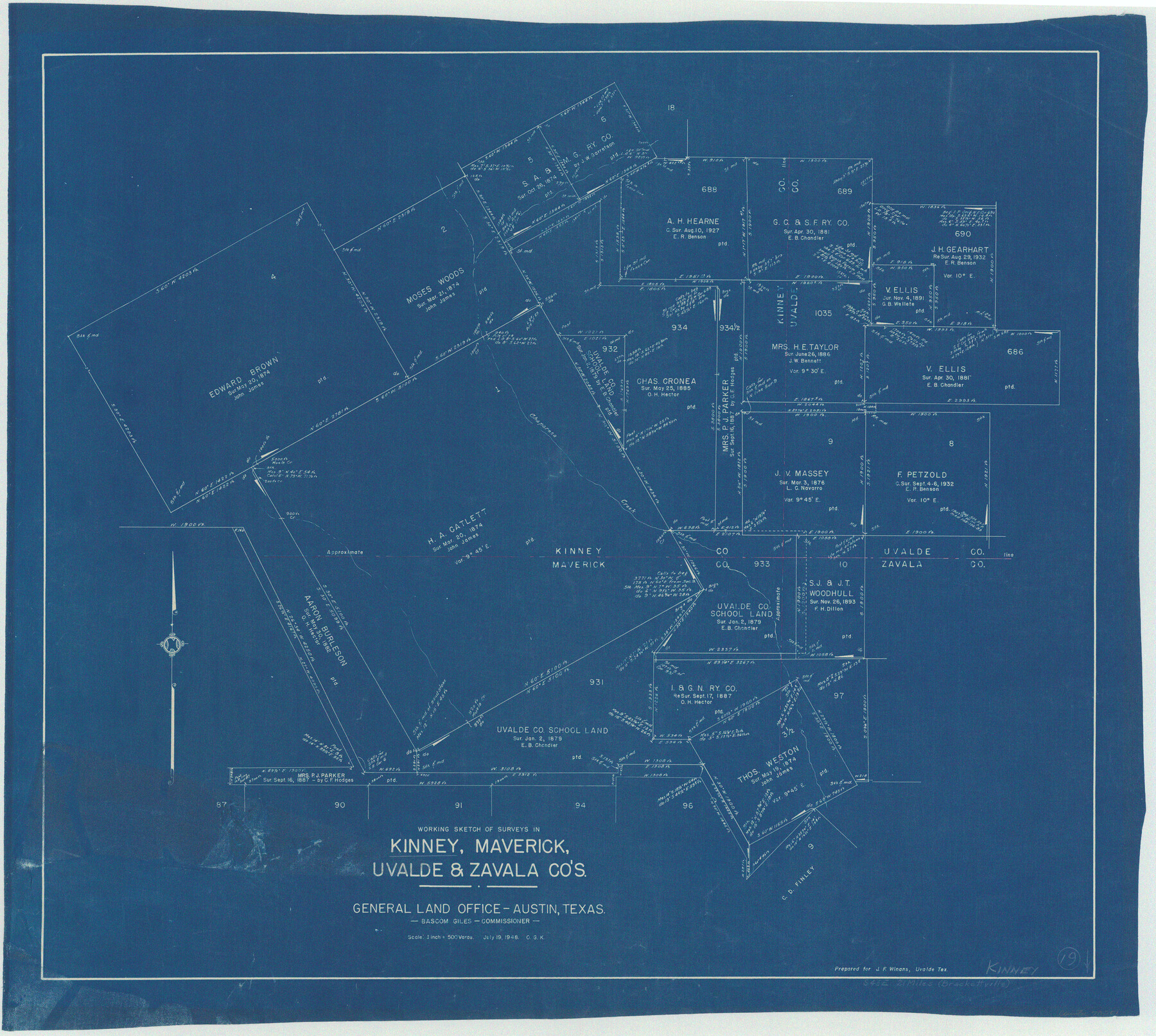
Kinney County Working Sketch 19
-
Map/Doc
70201
-
Collection
General Map Collection
-
Object Dates
7/19/1948 (Creation Date)
-
People and Organizations
Otto G. Kurio (Draftsman)
-
Counties
Kinney Maverick Uvalde Zavala
-
Subjects
Surveying Working Sketch
-
Height x Width
32.0 x 35.7 inches
81.3 x 90.7 cm
-
Scale
1" = 500 varas
Part of: General Map Collection
Sabine County Sketch File 2

Print $4.00
Sabine County Sketch File 2
Size 10.0 x 7.9 inches
Map/Doc 35602
Brazoria County Sketch File 28a

Print $40.00
- Digital $50.00
Brazoria County Sketch File 28a
1913
Size 21.0 x 15.2 inches
Map/Doc 10954
Flight Mission No. BRA-3M, Frame 200, Jefferson County

Print $20.00
- Digital $50.00
Flight Mission No. BRA-3M, Frame 200, Jefferson County
1953
Size 18.5 x 22.4 inches
Map/Doc 85415
San Jacinto County Sketch File 8

Print $4.00
San Jacinto County Sketch File 8
Size 10.2 x 7.9 inches
Map/Doc 35710
Flight Mission No. CRC-4R, Frame 186, Chambers County

Print $20.00
- Digital $50.00
Flight Mission No. CRC-4R, Frame 186, Chambers County
1956
Size 18.6 x 22.3 inches
Map/Doc 84937

Bandera County Working Sketch 43

Print $20.00
- Digital $50.00
Bandera County Working Sketch 43
1978
Size 27.7 x 31.6 inches
Map/Doc 67639
Live Oak County Working Sketch 16

Print $20.00
- Digital $50.00
Live Oak County Working Sketch 16
1954
Size 22.2 x 21.8 inches
Map/Doc 70601
Texas City Channel, Texas, Channel and Turning Basin Dredging - Sheet 6

Print $20.00
- Digital $50.00
Texas City Channel, Texas, Channel and Turning Basin Dredging - Sheet 6
1958
Size 28.6 x 40.6 inches
Map/Doc 61836
Nolan County Sketch File 16

Print $20.00
- Digital $50.00
Nolan County Sketch File 16
1938
Size 18.9 x 23.4 inches
Map/Doc 42166
Matagorda County Rolled Sketch 39

Print $40.00
- Digital $50.00
Matagorda County Rolled Sketch 39
1973
Size 24.4 x 114.0 inches
Map/Doc 10743
Foard County Sketch File 36

Print $20.00
- Digital $50.00
Foard County Sketch File 36
Size 15.4 x 28.0 inches
Map/Doc 11498
You may also like
Flight Mission No. CRC-5R, Frame 44, Chambers County

Print $20.00
- Digital $50.00
Flight Mission No. CRC-5R, Frame 44, Chambers County
1956
Size 18.6 x 22.4 inches
Map/Doc 84963
Upshur County Working Sketch 6

Print $20.00
- Digital $50.00
Upshur County Working Sketch 6
1943
Size 28.6 x 34.3 inches
Map/Doc 69562
Childress County Rolled Sketch 18A

Print $20.00
- Digital $50.00
Childress County Rolled Sketch 18A
1913
Size 18.5 x 39.8 inches
Map/Doc 5452
Grimes County State Real Property Sketch 1

Print $20.00
- Digital $50.00
Grimes County State Real Property Sketch 1
2001
Size 36.0 x 24.8 inches
Map/Doc 80133
Flight Mission No. DCL-4C, Frame 121, Kenedy County

Print $20.00
- Digital $50.00
Flight Mission No. DCL-4C, Frame 121, Kenedy County
1943
Size 18.6 x 22.3 inches
Map/Doc 85820
Hutchinson County Sketch File 40

Print $32.00
- Digital $50.00
Hutchinson County Sketch File 40
Size 11.3 x 8.9 inches
Map/Doc 27282
Guadalupe County Sketch File 15a

Print $9.00
- Digital $50.00
Guadalupe County Sketch File 15a
Size 10.3 x 8.2 inches
Map/Doc 24687
Montgomery County Sketch File 35

Print $8.00
- Digital $50.00
Montgomery County Sketch File 35
1953
Size 14.1 x 8.9 inches
Map/Doc 31908
Wilson County Rolled Sketch 3

Print $20.00
- Digital $50.00
Wilson County Rolled Sketch 3
1956
Size 25.8 x 22.8 inches
Map/Doc 8369
Henderson County

Print $20.00
- Digital $50.00
Henderson County
1856
Size 17.9 x 29.2 inches
Map/Doc 3664
Cooke County Working Sketch 10

Print $20.00
- Digital $50.00
Cooke County Working Sketch 10
1940
Size 40.5 x 27.8 inches
Map/Doc 68247
Jack County Working Sketch 11

Print $20.00
- Digital $50.00
Jack County Working Sketch 11
1959
Size 23.9 x 23.4 inches
Map/Doc 66437