
Hutchinson County Sketch File 5

Hutchinson County Sketch File 10

Hutchinson County Sketch File 20m
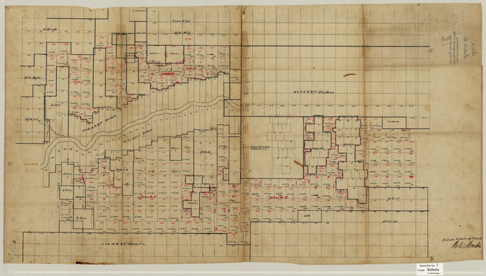
Roberts County Sketch File 1

Gray County Sketch File 7c
1885

Gray County Sketch File B2
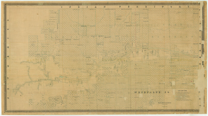
[Young Territory]
1875
Gray County Sketch File B1
1882
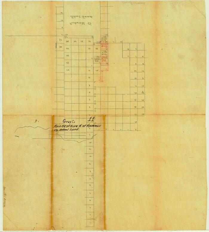
Gray County Sketch File 11

Hemphill County Sketch File 1

Hemphill County Sketch File 2
1900

Hemphill County Sketch File 4
1903

Hemphill County Sketch File 8
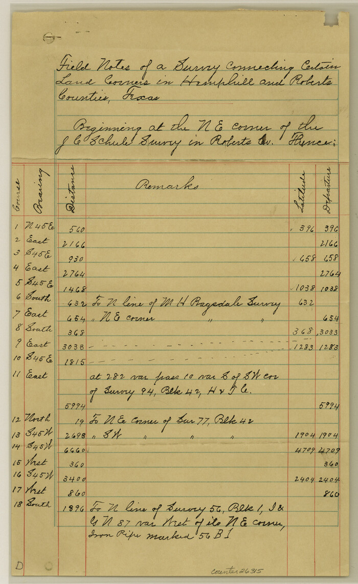
Hemphill County Sketch File 10
1903

Hutchinson County Sketch File 4
1890

Hutchinson County Sketch File 45
1991

Hutchinson County Sketch File 48
1989

Hutchinson County Sketch File 52
1992

Hutchinson County Sketch File 53
2000

Roberts County Sketch File 2
1882
Roberts County Sketch File 4
1889
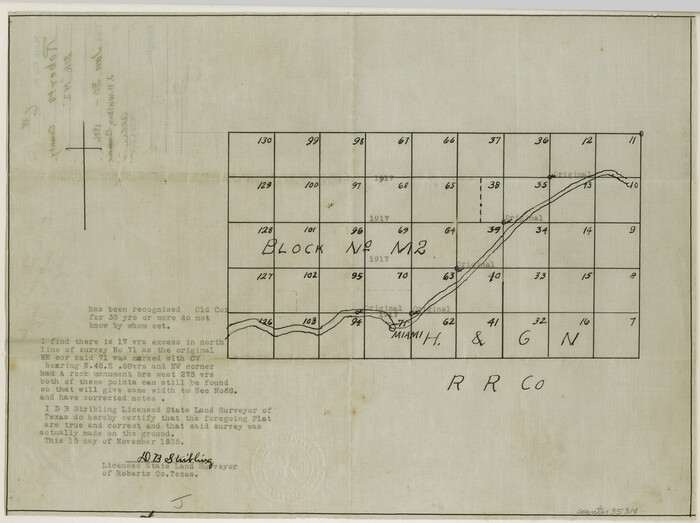
Roberts County Sketch File 6
1935

Roberts County Sketch File 7
1992

Roberts County Sketch File 8
1992

Roberts County Sketch File 9
1992
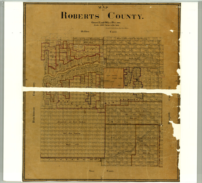
Map of Roberts County
1900
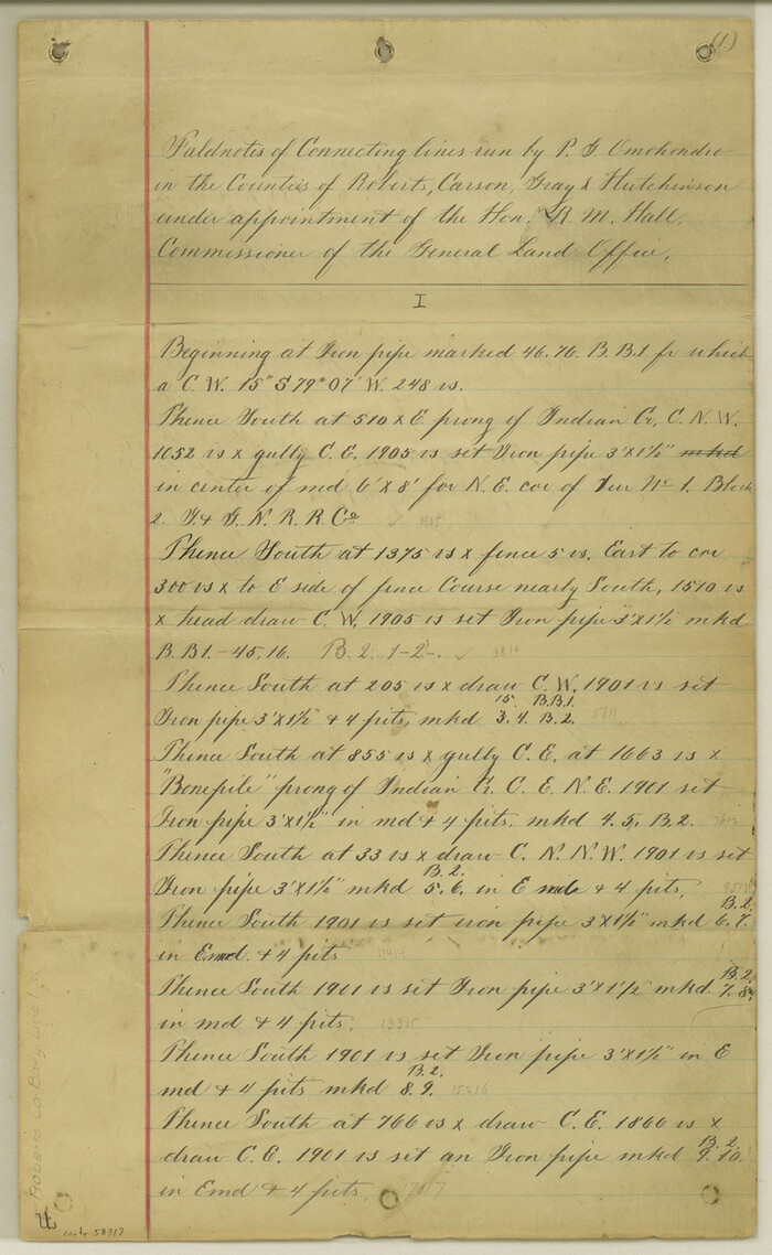
Roberts County Boundary File 1

Hutchinson County Sketch File 5
-
Size
15.1 x 62.7 inches
-
Map/Doc
10498

Hutchinson County Sketch File 10
-
Size
55.8 x 9.2 inches
-
Map/Doc
10500

Hutchinson County Sketch File 20m
-
Size
36.2 x 43.6 inches
-
Map/Doc
10501

Roberts County Sketch File 1
-
Size
39.2 x 22.3 inches
-
Map/Doc
10589

Gray County Sketch File 7c
1885
-
Size
26.5 x 19.6 inches
-
Map/Doc
11576
-
Creation Date
1885

Gray County Sketch File B2
-
Size
22.8 x 17.3 inches
-
Map/Doc
11579
![16784, [Young Territory], General Map Collection](https://historictexasmaps.com/wmedia_w700/maps/16784.tif.jpg)
[Young Territory]
1875
-
Size
49.0 x 87.4 inches
-
Map/Doc
16784
-
Creation Date
1875

Gray County Sketch File B1
1882
-
Size
8.9 x 8.6 inches
-
Map/Doc
24398
-
Creation Date
1882

Gray County Sketch File 11
-
Size
15.0 x 13.5 inches
-
Map/Doc
24452

Hemphill County Sketch File 1
-
Size
17.1 x 13.9 inches
-
Map/Doc
26279

Hemphill County Sketch File 2
1900
-
Size
10.3 x 8.4 inches
-
Map/Doc
26281
-
Creation Date
1900

Hemphill County Sketch File 4
1903
-
Size
14.1 x 8.7 inches
-
Map/Doc
26288
-
Creation Date
1903

Hemphill County Sketch File 8
-
Size
14.3 x 8.9 inches
-
Map/Doc
26308

Hemphill County Sketch File 10
1903
-
Size
14.3 x 8.8 inches
-
Map/Doc
26315
-
Creation Date
1903

Hutchinson County Sketch File 4
1890
-
Size
14.2 x 8.7 inches
-
Map/Doc
27179
-
Creation Date
1890

Hutchinson County Sketch File 45
1991
-
Size
11.1 x 8.8 inches
-
Map/Doc
27354
-
Creation Date
1991

Hutchinson County Sketch File 48
1989
-
Size
11.2 x 8.8 inches
-
Map/Doc
27400
-
Creation Date
1989

Hutchinson County Sketch File 52
1992
-
Size
14.2 x 8.8 inches
-
Map/Doc
27449
-
Creation Date
1992

Hutchinson County Sketch File 53
2000
-
Size
11.2 x 8.8 inches
-
Map/Doc
27455
-
Creation Date
2000

Roberts County Sketch File 2
1882
-
Size
12.8 x 8.0 inches
-
Map/Doc
35303
-
Creation Date
1882

Roberts County Sketch File 4
1889
-
Size
8.7 x 7.8 inches
-
Map/Doc
35306
-
Creation Date
1889

Roberts County Sketch File 6
1935
-
Size
10.8 x 14.5 inches
-
Map/Doc
35314
-
Creation Date
1935

Roberts County Sketch File 7
1992
-
Size
14.3 x 8.8 inches
-
Map/Doc
35316
-
Creation Date
1992

Roberts County Sketch File 8
1992
-
Size
14.3 x 8.8 inches
-
Map/Doc
35324
-
Creation Date
1992

Roberts County Sketch File 9
1992
-
Size
14.3 x 9.0 inches
-
Map/Doc
35327
-
Creation Date
1992

Map of Roberts County
1900
-
Size
45.3 x 50.0 inches
-
Map/Doc
3990
-
Creation Date
1900
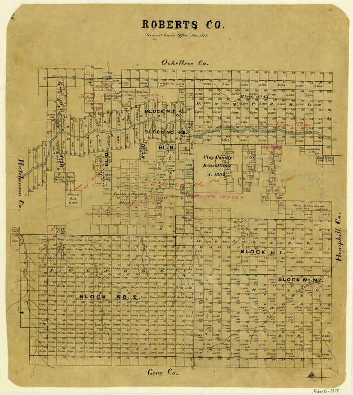
Roberts County
1878
-
Size
20.1 x 18.0 inches
-
Map/Doc
3991
-
Creation Date
1878

Roberts County
1884
-
Size
20.3 x 18.2 inches
-
Map/Doc
3992
-
Creation Date
1884
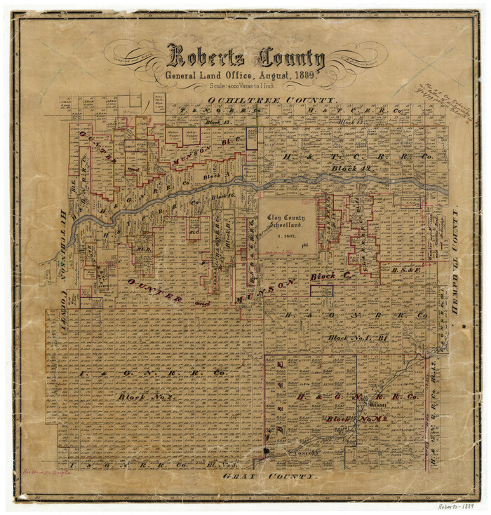
Roberts County
1889
-
Size
20.8 x 19.8 inches
-
Map/Doc
3993
-
Creation Date
1889

Roberts County Boundary File 1
-
Size
14.4 x 8.9 inches
-
Map/Doc
58313