[Young Territory]
Z-1-8
-
Map/Doc
16784
-
Collection
General Map Collection
-
Object Dates
1875 (Creation Date)
-
People and Organizations
Texas General Land Office (Publisher)
A.B. Langermann (Compiler)
A.B. Langermann (Draftsman)
-
Counties
Wheeler Hemphill Lipscomb Roberts Ochiltree Carson Hutchinson Hansford Potter Moore Oldham Hartley Sherman Dallam Gray Wegefarth
-
Subjects
District
-
Height x Width
49.0 x 87.4 inches
124.5 x 222.0 cm
-
Comments
Shows Wegefarth County, a "ghost"/defunct county.
Part of: General Map Collection
[Sketch for Mineral Application 11108 - Greens Bayou]
![2786, [Sketch for Mineral Application 11108 - Greens Bayou], General Map Collection](https://historictexasmaps.com/wmedia_w700/maps/2786-1.tif.jpg)
![2786, [Sketch for Mineral Application 11108 - Greens Bayou], General Map Collection](https://historictexasmaps.com/wmedia_w700/maps/2786-1.tif.jpg)
Print $20.00
- Digital $50.00
[Sketch for Mineral Application 11108 - Greens Bayou]
1922
Size 46.0 x 21.0 inches
Map/Doc 2786
Grayson County Working Sketch 16


Print $20.00
- Digital $50.00
Grayson County Working Sketch 16
1954
Size 44.2 x 24.7 inches
Map/Doc 63255
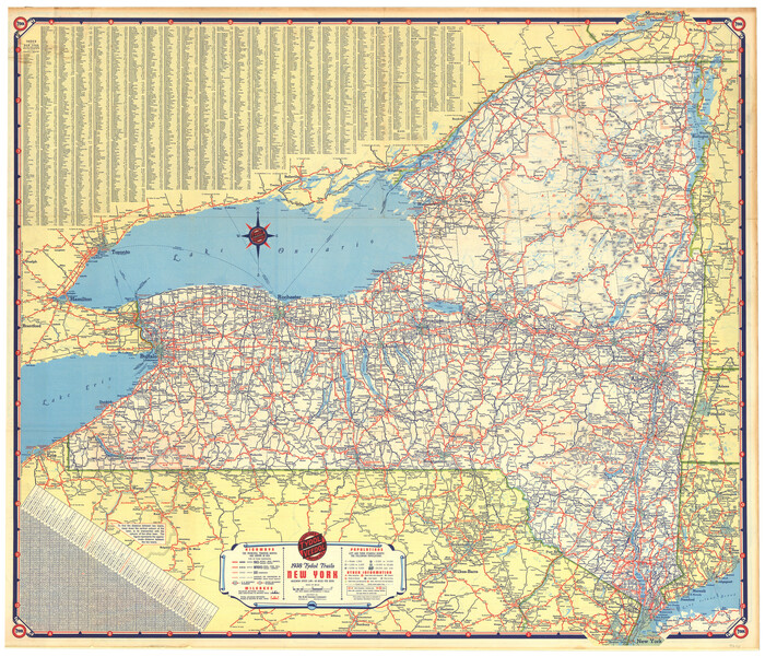
1938 Tydol Trails New York

Print $20.00
- Digital $50.00
1938 Tydol Trails New York
1938
Size 27.2 x 31.8 inches
Map/Doc 97111
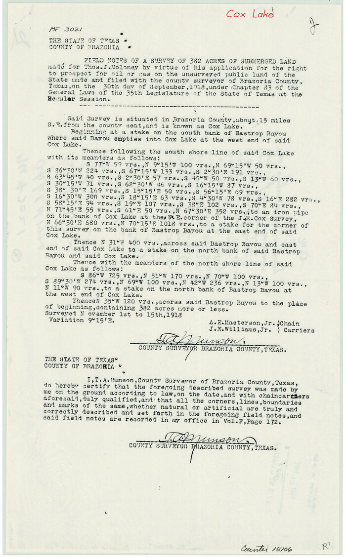
Brazoria County Sketch File 47

Print $10.00
- Digital $50.00
Brazoria County Sketch File 47
Size 14.3 x 8.9 inches
Map/Doc 15106
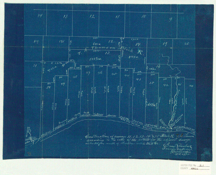
Hall County Sketch File 21

Print $20.00
- Digital $50.00
Hall County Sketch File 21
1906
Size 12.8 x 15.8 inches
Map/Doc 11610
Gray County Sketch File B2


Print $20.00
- Digital $50.00
Gray County Sketch File B2
Size 22.8 x 17.3 inches
Map/Doc 11579
Andrews County Rolled Sketch 30


Print $20.00
- Digital $50.00
Andrews County Rolled Sketch 30
Size 20.6 x 18.1 inches
Map/Doc 77174
Flight Mission No. BRE-2P, Frame 101, Nueces County


Print $20.00
- Digital $50.00
Flight Mission No. BRE-2P, Frame 101, Nueces County
1956
Size 18.4 x 22.2 inches
Map/Doc 86786
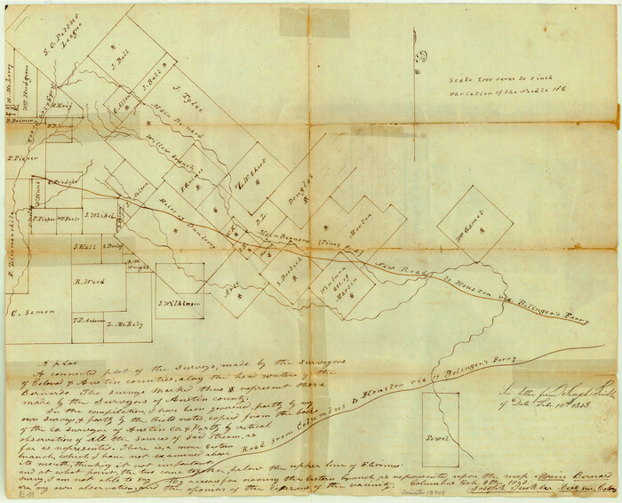
Colorado County Sketch File 1

Print $40.00
- Digital $50.00
Colorado County Sketch File 1
1848
Size 13.0 x 16.1 inches
Map/Doc 18909
Flight Mission No. BRA-17M, Frame 13, Jefferson County
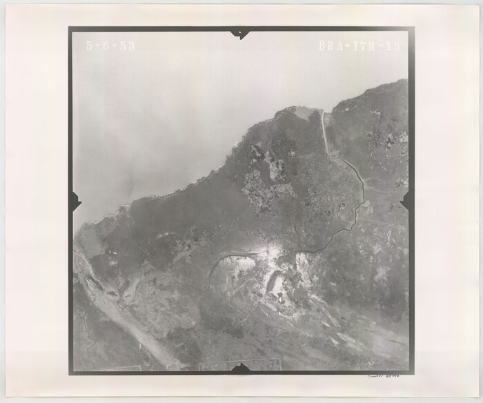

Print $20.00
- Digital $50.00
Flight Mission No. BRA-17M, Frame 13, Jefferson County
1953
Size 18.6 x 22.3 inches
Map/Doc 85794
Andrews County Rolled Sketch 20
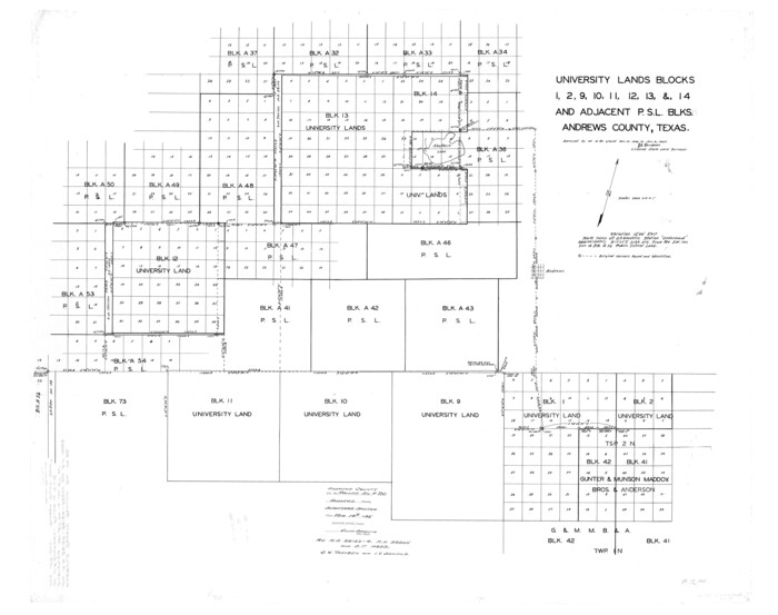

Print $20.00
- Digital $50.00
Andrews County Rolled Sketch 20
Size 31.6 x 40.0 inches
Map/Doc 8395
Travis County Appraisal District Plat Map 2_3016
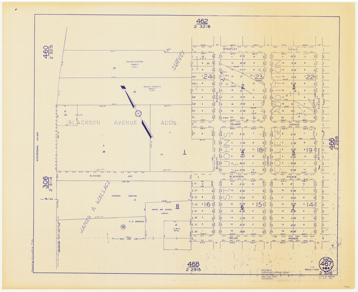

Print $20.00
- Digital $50.00
Travis County Appraisal District Plat Map 2_3016
Size 21.5 x 26.4 inches
Map/Doc 94221
You may also like
Lampasas County Sketch File 4


Print $4.00
- Digital $50.00
Lampasas County Sketch File 4
1861
Size 12.3 x 8.2 inches
Map/Doc 29394
Liberty County Sketch File 16

Print $4.00
- Digital $50.00
Liberty County Sketch File 16
1859
Size 11.4 x 6.7 inches
Map/Doc 29917
Bowie County Working Sketch 11
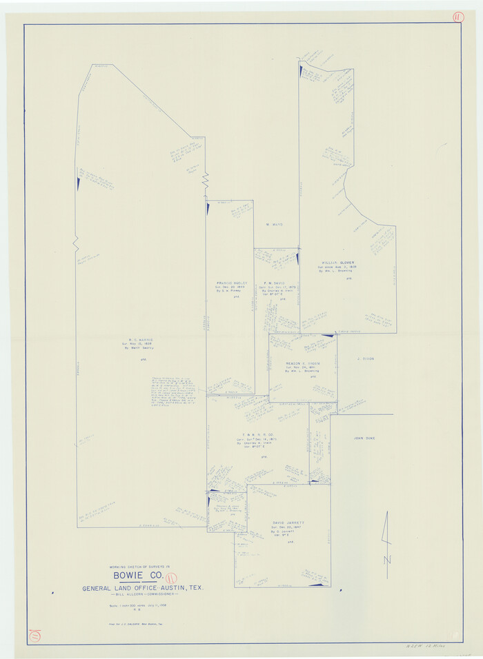

Print $20.00
- Digital $50.00
Bowie County Working Sketch 11
1958
Size 43.2 x 31.6 inches
Map/Doc 67415
Reagan County Working Sketch 27


Print $20.00
- Digital $50.00
Reagan County Working Sketch 27
1960
Size 33.0 x 42.5 inches
Map/Doc 71869
Flight Mission No. DCL-7C, Frame 51, Kenedy County

Print $20.00
- Digital $50.00
Flight Mission No. DCL-7C, Frame 51, Kenedy County
1943
Size 16.6 x 16.4 inches
Map/Doc 86039
Brewster County Rolled Sketch 123


Print $25.00
- Digital $50.00
Brewster County Rolled Sketch 123
Size 10.1 x 15.3 inches
Map/Doc 43129
San Patricio County Working Sketch 10
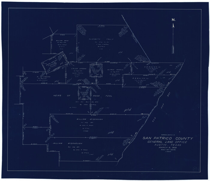

Print $20.00
- Digital $50.00
San Patricio County Working Sketch 10
1939
Size 28.1 x 32.6 inches
Map/Doc 63772
Ector County Rolled Sketch WA


Print $20.00
- Digital $50.00
Ector County Rolled Sketch WA
Size 26.2 x 30.0 inches
Map/Doc 5780
Randall County Rolled Sketch 8
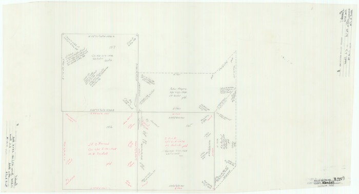

Print $20.00
- Digital $50.00
Randall County Rolled Sketch 8
Size 16.1 x 29.8 inches
Map/Doc 7430
Flight Mission No. CUG-3P, Frame 41, Kleberg County


Print $20.00
- Digital $50.00
Flight Mission No. CUG-3P, Frame 41, Kleberg County
1956
Size 18.3 x 22.1 inches
Map/Doc 86246
General Highway Map, Blanco County, Texas

Print $20.00
General Highway Map, Blanco County, Texas
1961
Size 25.0 x 18.2 inches
Map/Doc 79376
Hall County Sketch File 8

Print $20.00
- Digital $50.00
Hall County Sketch File 8
Size 12.8 x 23.1 inches
Map/Doc 11604
![16784, [Young Territory], General Map Collection](https://historictexasmaps.com/wmedia_w1800h1800/maps/16784.tif.jpg)