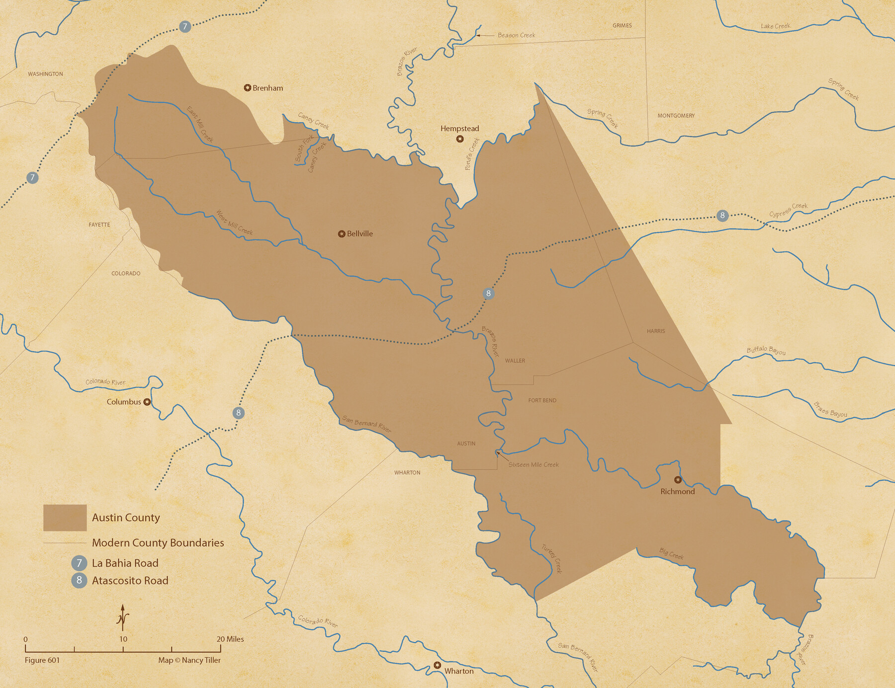
The Chief Justice County of Austin. Proposed, No Date
Figure No. 601 from 'A Boundary Atlas of Texas, 1821-1845' by Jim Tiller
-
Map/Doc
96037
-
Collection
Nancy and Jim Tiller Digital Collection
-
Object Dates
2020/1/1 (Creation Date)
-
People and Organizations
Jim Tiller (Author)
Nancy Tiller (Cartographer)
Gang Gong (GIS Professional)
-
Subjects
Atlas Republic of Texas Texas Boundaries
-
Height x Width
16.7 x 21.7 inches
42.4 x 55.1 cm
-
Medium
digital image
-
Comments
To purchase a digital PDF copy of "A Boundary Atlas of Texas, 1821-1845" see 96437.
Part of: Nancy and Jim Tiller Digital Collection
Cameron Empresario Colony. May 21, 1827

Print $20.00
Cameron Empresario Colony. May 21, 1827
2020
Size 10.7 x 21.7 inches
Map/Doc 95986
The Republic County of Goliad. Boundaries Defined, December 2, 1841

Print $20.00
The Republic County of Goliad. Boundaries Defined, December 2, 1841
2020
Size 17.5 x 21.7 inches
Map/Doc 96151
From Citizens of Colorado and Matagorda Counties for the Creation of a New County (Unnamed), August 6, 1840

Print $20.00
From Citizens of Colorado and Matagorda Counties for the Creation of a New County (Unnamed), August 6, 1840
2020
Size 18.5 x 21.7 inches
Map/Doc 96389
The Republic County of Robertson. November 28, 1839

Print $20.00
The Republic County of Robertson. November 28, 1839
2020
Size 18.9 x 21.6 inches
Map/Doc 96260
The Republic County of Austin. Proposed, Fall 1837-May 23, 1838

Print $20.00
The Republic County of Austin. Proposed, Fall 1837-May 23, 1838
2020
Size 14.8 x 21.7 inches
Map/Doc 96081
The Republic County of Bexar. Spring 1842

Print $20.00
The Republic County of Bexar. Spring 1842
2020
Size 14.7 x 21.7 inches
Map/Doc 96100
Wavell Empresario Colony. Proposed, March 9, 1826

Print $20.00
Wavell Empresario Colony. Proposed, March 9, 1826
2020
Size 16.0 x 21.7 inches
Map/Doc 96009
The Chief Justice County of Gonzales. July 7, 1837

Print $20.00
The Chief Justice County of Gonzales. July 7, 1837
2020
Size 22.3 x 21.7 inches
Map/Doc 96047
The Republic County of Bexar. November 28, 1839

Print $20.00
The Republic County of Bexar. November 28, 1839
2020
Size 14.8 x 21.1 inches
Map/Doc 96097
The Mexican Municipality of Colorado. Created, January 11, 1836

Print $20.00
The Mexican Municipality of Colorado. Created, January 11, 1836
2020
Size 15.7 x 21.6 inches
Map/Doc 96019
The Republic County of Fort Bend. December 29, 1845

Print $20.00
The Republic County of Fort Bend. December 29, 1845
2020
Size 14.7 x 21.6 inches
Map/Doc 96142
DeWitt Empresario Colony. April 15, 1825

Print $20.00
DeWitt Empresario Colony. April 15, 1825
2020
Size 18.1 x 21.7 inches
Map/Doc 95991
You may also like
[Blocks O, N, 34, B19, B29]
![92969, [Blocks O, N, 34, B19, B29], Twichell Survey Records](https://historictexasmaps.com/wmedia_w700/maps/92969-1.tif.jpg)
Print $20.00
- Digital $50.00
[Blocks O, N, 34, B19, B29]
Size 24.1 x 24.4 inches
Map/Doc 92969
Crane County Sketch File 11

Print $40.00
- Digital $50.00
Crane County Sketch File 11
Size 18.5 x 8.9 inches
Map/Doc 19569
Sutton County Sketch File 58

Print $9.00
- Digital $50.00
Sutton County Sketch File 58
1964
Size 15.7 x 9.9 inches
Map/Doc 37554
Railroad map of the state of Texas / compiled and engraved expressly for the American railroad manual.

Print $20.00
Railroad map of the state of Texas / compiled and engraved expressly for the American railroad manual.
1873
Size 13.4 x 9.5 inches
Map/Doc 93599
Sutton County Working Sketch Graphic Index, Sheet 1 (Sketches 1 to 24)

Print $40.00
- Digital $50.00
Sutton County Working Sketch Graphic Index, Sheet 1 (Sketches 1 to 24)
1941
Size 41.9 x 55.3 inches
Map/Doc 76705
Travis County Working Sketch 58

Print $20.00
- Digital $50.00
Travis County Working Sketch 58
1946
Size 36.4 x 43.0 inches
Map/Doc 69442
Controlled Mosaic by Jack Amman Photogrammetric Engineers, Inc - Sheet 7

Print $20.00
- Digital $50.00
Controlled Mosaic by Jack Amman Photogrammetric Engineers, Inc - Sheet 7
1954
Size 20.0 x 24.0 inches
Map/Doc 83451
Kaufman County Boundary File 1a

Print $8.00
- Digital $50.00
Kaufman County Boundary File 1a
Size 14.1 x 8.6 inches
Map/Doc 55907
Culberson County Working Sketch 58

Print $20.00
- Digital $50.00
Culberson County Working Sketch 58
1974
Size 45.2 x 35.1 inches
Map/Doc 68512
Mapa Geográphico de la Provincia de Tejas

Mapa Geográphico de la Provincia de Tejas
1822
Size 9.8 x 12.7 inches
Map/Doc 94457
Upshur County Working Sketch 10a

Print $20.00
- Digital $50.00
Upshur County Working Sketch 10a
1969
Size 15.8 x 18.7 inches
Map/Doc 69567
Taylor County Working Sketch 20

Print $40.00
- Digital $50.00
Taylor County Working Sketch 20
1985
Size 58.7 x 36.7 inches
Map/Doc 69630