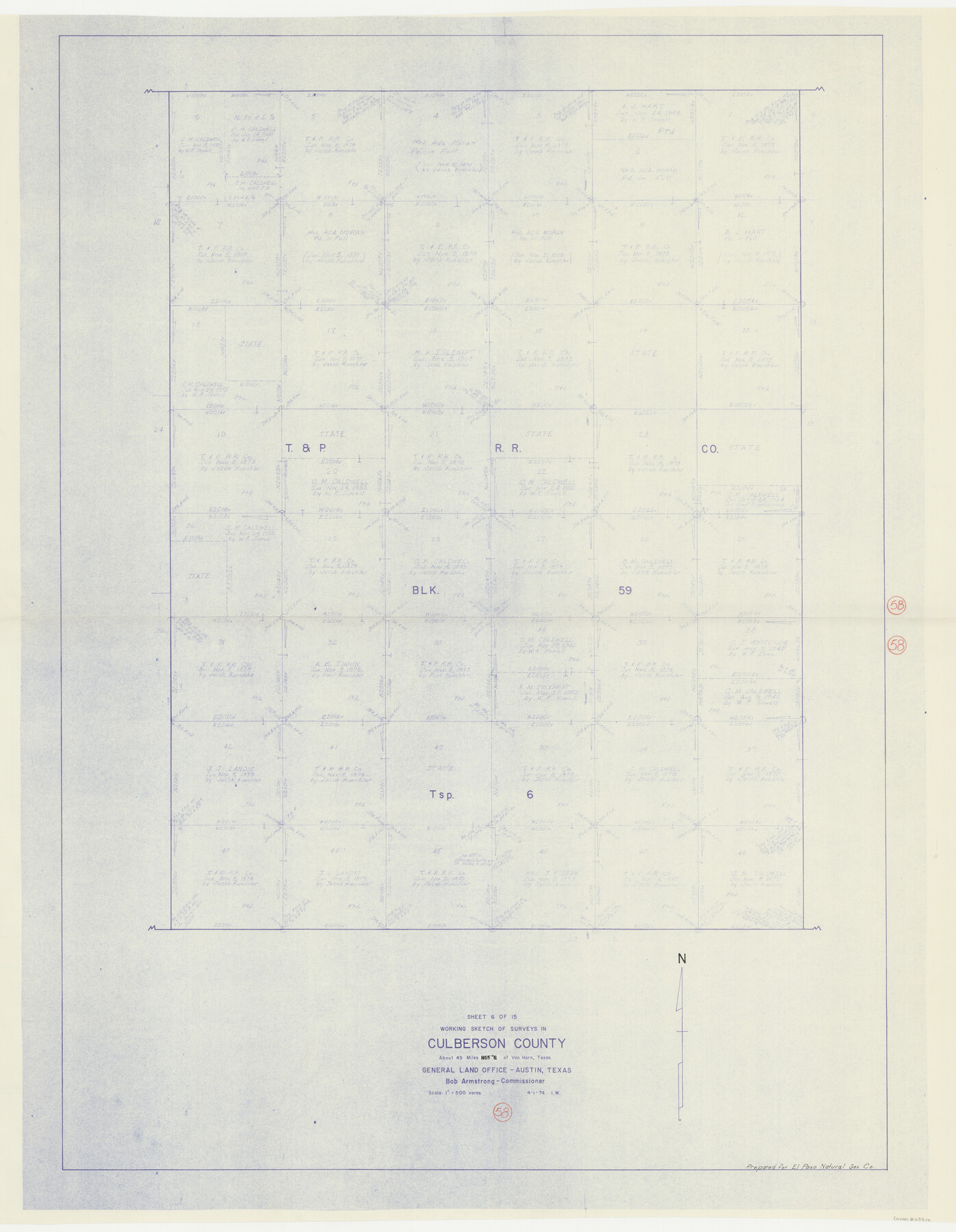
Culberson County Working Sketch 58
-
Map/Doc
68512
-
Collection
General Map Collection
-
Object Dates
4/1/1974 (Creation Date)
-
Counties
Culberson
-
Subjects
Surveying Working Sketch
-
Height x Width
45.2 x 35.1 inches
114.8 x 89.2 cm
-
Scale
1" = 500 varas
Part of: General Map Collection
Webb County Rolled Sketch D

Print $20.00
- Digital $50.00
Webb County Rolled Sketch D
1897
Size 25.4 x 40.6 inches
Map/Doc 8222
Fannin County Sketch File 2

Print $4.00
- Digital $50.00
Fannin County Sketch File 2
1853
Size 12.4 x 7.9 inches
Map/Doc 22445
Map of a part of Laguna Madre showing subdivision for mineral development

Print $20.00
- Digital $50.00
Map of a part of Laguna Madre showing subdivision for mineral development
1948
Size 42.9 x 31.0 inches
Map/Doc 2913
Upton County Boundary File 1

Print $5.00
- Digital $50.00
Upton County Boundary File 1
Size 13.4 x 9.0 inches
Map/Doc 59506
Upton County Sketch File 14CF

Print $8.00
- Digital $50.00
Upton County Sketch File 14CF
1926
Size 11.3 x 8.8 inches
Map/Doc 38860
Val Verde County Rolled Sketch 80

Print $20.00
- Digital $50.00
Val Verde County Rolled Sketch 80
1985
Size 16.3 x 20.1 inches
Map/Doc 8142
Stephens County Working Sketch 13

Print $20.00
- Digital $50.00
Stephens County Working Sketch 13
1952
Size 23.9 x 33.3 inches
Map/Doc 63956
Hutchinson County Rolled Sketch 37A

Print $40.00
- Digital $50.00
Hutchinson County Rolled Sketch 37A
1950
Size 24.7 x 50.5 inches
Map/Doc 9246
Pecos County Sketch File 96

Print $40.00
- Digital $50.00
Pecos County Sketch File 96
1957
Size 22.4 x 8.7 inches
Map/Doc 33998
Bandera County Working Sketch 49

Print $20.00
- Digital $50.00
Bandera County Working Sketch 49
1983
Size 28.2 x 43.3 inches
Map/Doc 67645
Nacogdoches County Sketch File 19

Print $12.00
- Digital $50.00
Nacogdoches County Sketch File 19
1846
Size 17.0 x 11.0 inches
Map/Doc 32270
Matagorda Bay and Approaches

Print $20.00
- Digital $50.00
Matagorda Bay and Approaches
1957
Size 35.1 x 44.8 inches
Map/Doc 73381
You may also like
Pecos County Sketch File 96
Print $40.00
- Digital $50.00
Pecos County Sketch File 96
1957
Size 22.4 x 8.7 inches
Map/Doc 33998
[Sketch to show the positions of surveys 1-18 made by G. R. Jowell with reference to Capitol Leagues]
![90539, [Sketch to show the positions of surveys 1-18 made by G. R. Jowell with reference to Capitol Leagues], Twichell Survey Records](https://historictexasmaps.com/wmedia_w700/maps/90539-1.tif.jpg)
Print $20.00
- Digital $50.00
[Sketch to show the positions of surveys 1-18 made by G. R. Jowell with reference to Capitol Leagues]
1905
Size 14.7 x 14.6 inches
Map/Doc 90539
Crosby County Working Sketch 4

Print $20.00
- Digital $50.00
Crosby County Working Sketch 4
1907
Size 19.9 x 14.0 inches
Map/Doc 68438
Map of Jack County

Print $40.00
- Digital $50.00
Map of Jack County
1895
Size 49.7 x 37.2 inches
Map/Doc 16858
Flight Mission No. DCL-6C, Frame 115, Kenedy County

Print $20.00
- Digital $50.00
Flight Mission No. DCL-6C, Frame 115, Kenedy County
1943
Size 18.5 x 22.4 inches
Map/Doc 85945
Orange County Working Sketch 2

Print $20.00
- Digital $50.00
Orange County Working Sketch 2
1917
Size 12.8 x 13.1 inches
Map/Doc 71334
[Block S, Sections 4 and 11]
![92834, [Block S, Sections 4 and 11], Twichell Survey Records](https://historictexasmaps.com/wmedia_w700/maps/92834-1.tif.jpg)
Print $20.00
- Digital $50.00
[Block S, Sections 4 and 11]
1951
Size 14.8 x 12.2 inches
Map/Doc 92834

Cherokee County Sketch File 31b

Print $6.00
- Digital $50.00
Cherokee County Sketch File 31b
1934
Size 14.2 x 8.9 inches
Map/Doc 18187
L'Amerique Meridionale, et Septentrionale Dressee selon les derniers Relations et suivant les Nouvelles Decouvertes

Print $20.00
- Digital $50.00
L'Amerique Meridionale, et Septentrionale Dressee selon les derniers Relations et suivant les Nouvelles Decouvertes
1726
Size 18.9 x 24.1 inches
Map/Doc 95134
Orange County - West one half of Sabine River showing leases 5 & 6 traced from U. S. C. & G. S. chart no. 533

Print $20.00
- Digital $50.00
Orange County - West one half of Sabine River showing leases 5 & 6 traced from U. S. C. & G. S. chart no. 533
1957
Size 30.6 x 35.4 inches
Map/Doc 2899
General Highway Map, Hardeman County, Texas

Print $20.00
General Highway Map, Hardeman County, Texas
1961
Size 24.6 x 18.1 inches
Map/Doc 79498