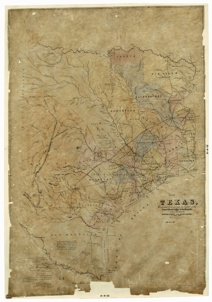
Map of Texas Compiled from surveys on record in the General Land Office of the Republic to the year 1839
1891
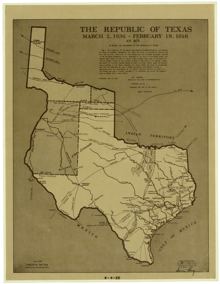
The Republic of Texas, March 2, 1836 - February 19, 1846
1972
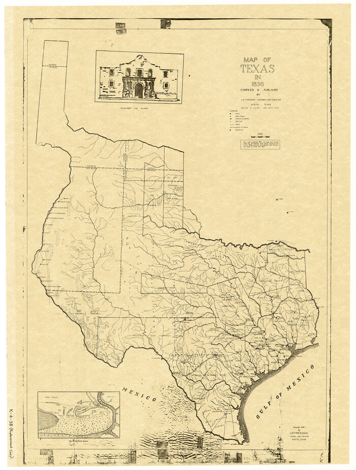
Map of Texas in 1836
1936
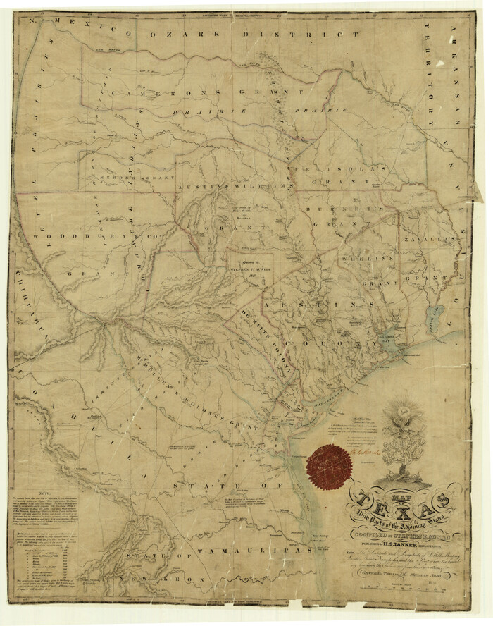
Map of Texas with Parts of the Adjoining States
1837
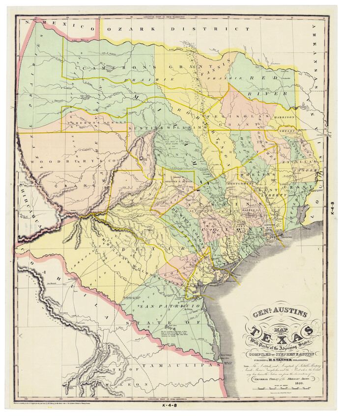
Genl. Austins Map of Texas With Parts of the Adjoining States
1840

Carte du Texas par M. Maris
1846

Map of Texas from the most recent authorities
1845
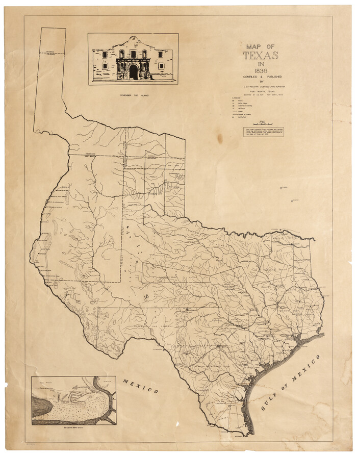
Map of Texas in 1836
1936
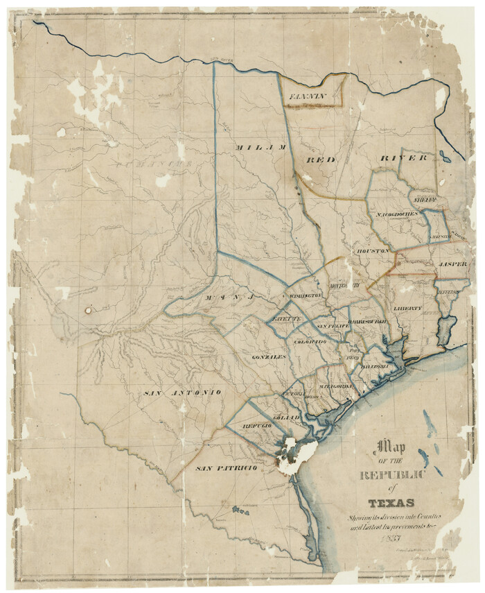
Map of the Republic of Texas Shewing [sic] its division into Counties and Latest Improvements to 1837
1837
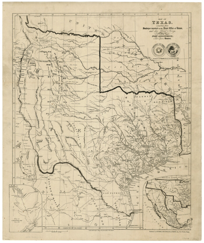
Map of Texas Compiled from Surveys recorded in the Land Office of Texas
1841
![65469, [Field notes, sketch and legislation regarding the National Road from Dallas at the mouth of the Elm Fork of the Trinity to the mouth of Kiamechi on Red River], General Map Collection](https://historictexasmaps.com/wmedia_w700/pdf_converted_jpg/qi_pdf_thumbnail_19857.jpg)
[Field notes, sketch and legislation regarding the National Road from Dallas at the mouth of the Elm Fork of the Trinity to the mouth of Kiamechi on Red River]
1844
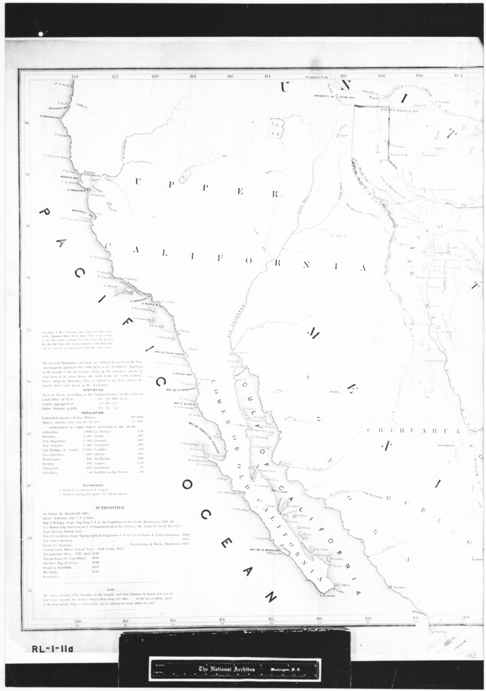
Map of Texas and the countries adjacent compiled in the Bureau of the Corps of Topographical Engineers from the best authorities for the State Department
1844
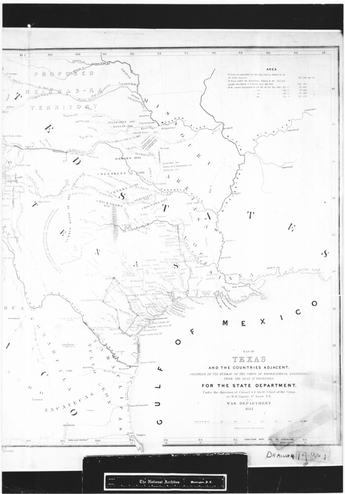
Map of Texas and the countries adjacent compiled in the Bureau of the Corps of Topographical Engineers from the best authorities for the State Department
1844

Map of Texas and the country adjacent
1844
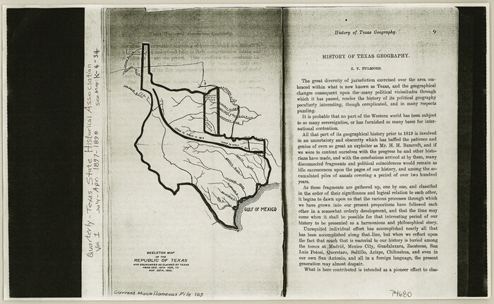
Current Miscellaneous File 105

Map of Texas with Parts of the Adjoining States
1836

Map of Texas and the Countries Adjacent compiled in the Bureau of the Corps of Topographical Engineers from the Best Authorities
1844

Map of Texas, compiled from surveys on record in the General Land Office of the Republic
1839

Map of the Republic of Texas and the Adjacent Territories, Indicating the Grants of Land Conceded under the Empresario System of Mexico
1841

Map of Texas Containing the Latest Grants and Discoveries
1836

Map of Texas compiled from surveys recorded in the Land Office of Texas, and other official surveys
1841

Central America Including Texas, California, and the Northern States Mexico
1842
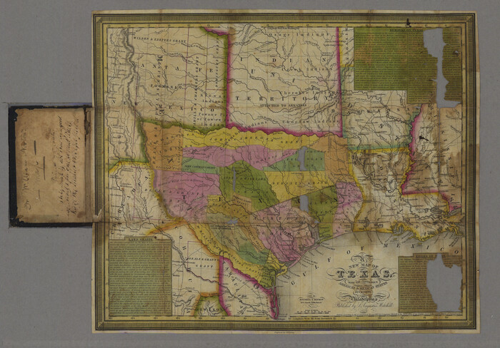
New Map of Texas with the Contiguous American and Mexican States
1836

Calhoun County Sketch File 20
1839

Map of the Republic of Texas showing its division into counties and latest improvements too
1837
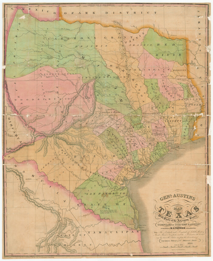
Genl. Austins Map of Texas With Parts of the Adjoining States
1840

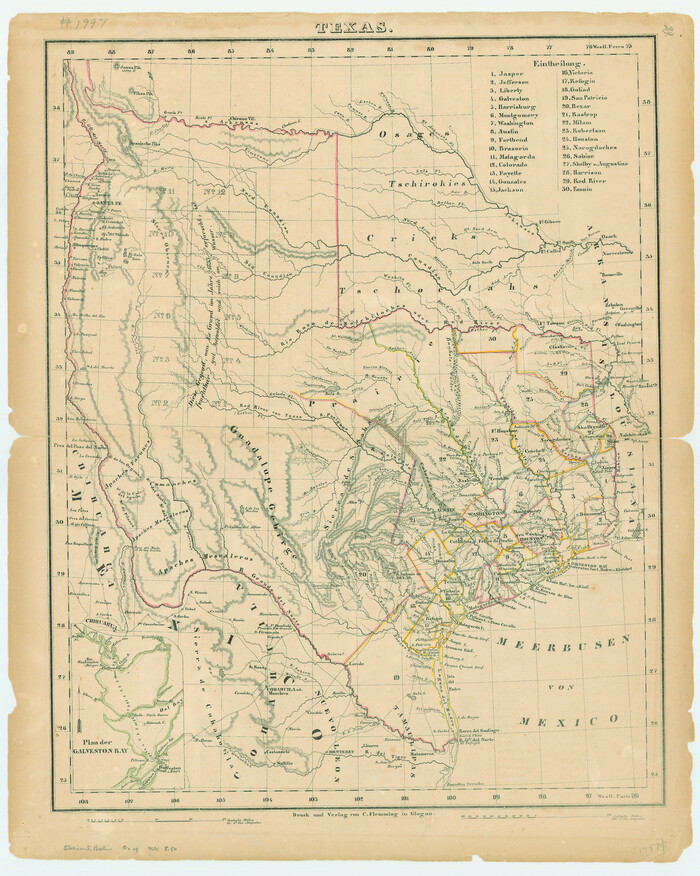
Karte von Texas entworfen nach den Vermessungen, welche in den Acten der General-Land-Office der Republic liegen bis zum Jahr 1839 von Richard S. Hunt & Jesse F. Randel
1841
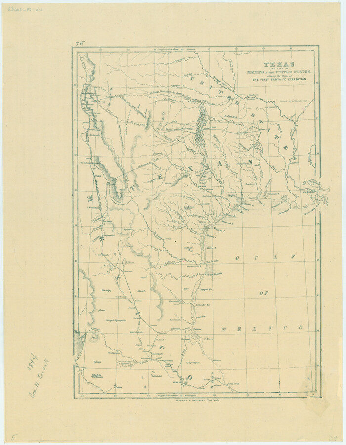
Texas and part of Mexico and the United States showing the Route of the First Santa Fe Expedition
1844

Map of Texas Compiled from surveys on record in the General Land Office of the Republic to the year 1839
1891
-
Size
36.6 x 25.7 inches
-
Map/Doc
1891
-
Creation Date
1891

The Republic of Texas, March 2, 1836 - February 19, 1846
1972
-
Size
23.4 x 18.3 inches
-
Map/Doc
2109
-
Creation Date
1972

Map of Texas in 1836
1936
-
Size
32.1 x 24.4 inches
-
Map/Doc
2110
-
Creation Date
1936

Map of Texas with Parts of the Adjoining States
1837
-
Size
31.5 x 24.9 inches
-
Map/Doc
2114
-
Creation Date
1837

Genl. Austins Map of Texas With Parts of the Adjoining States
1840
-
Size
28.5 x 23.4 inches
-
Map/Doc
2116
-
Creation Date
1840

Carte du Texas par M. Maris
1846
-
Size
19.3 x 17.2 inches
-
Map/Doc
2119
-
Creation Date
1846

Map of Texas from the most recent authorities
1845
-
Size
11.2 x 17.2 inches
-
Map/Doc
4333
-
Creation Date
1845
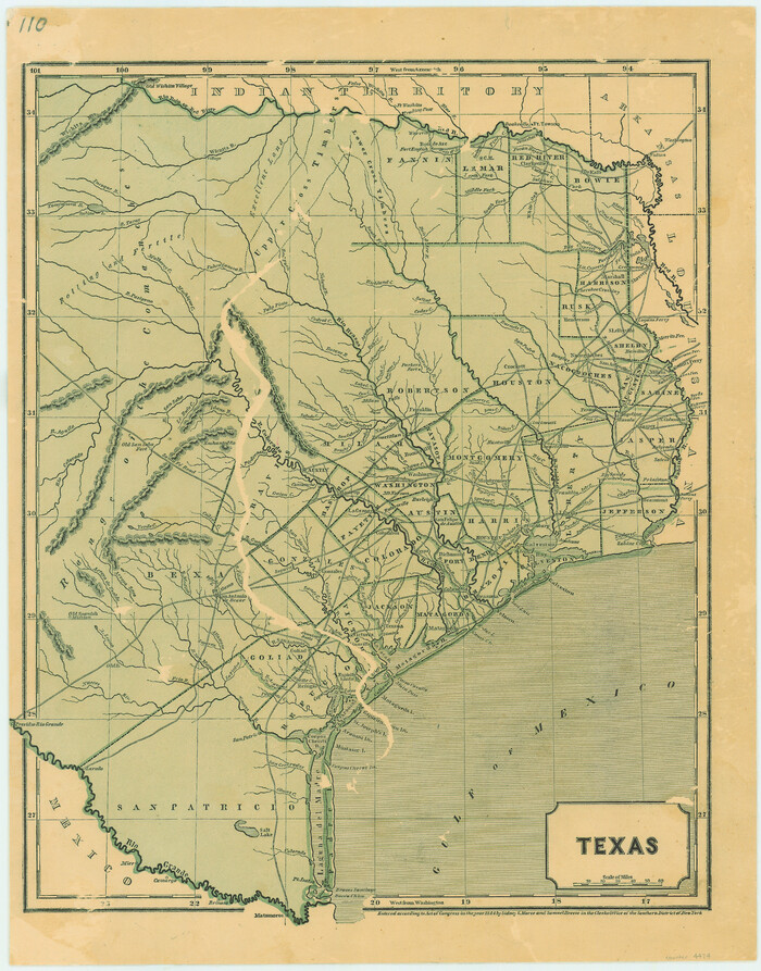
Texas
1844
-
Size
17.0 x 13.3 inches
-
Map/Doc
4474
-
Creation Date
1844

Map of Texas in 1836
1936
-
Size
24.5 x 19.3 inches
-
Map/Doc
449
-
Creation Date
1936
![476, Map of the Republic of Texas Shewing [sic] its division into Counties and Latest Improvements to 1837, General Map Collection](https://historictexasmaps.com/wmedia_w700/maps/476-1.tif.jpg)
Map of the Republic of Texas Shewing [sic] its division into Counties and Latest Improvements to 1837
1837
-
Size
28.2 x 23.0 inches
-
Map/Doc
476
-
Creation Date
1837

Map of Texas Compiled from Surveys recorded in the Land Office of Texas
1841
-
Size
26.4 x 22.3 inches
-
Map/Doc
538
-
Creation Date
1841
![65469, [Field notes, sketch and legislation regarding the National Road from Dallas at the mouth of the Elm Fork of the Trinity to the mouth of Kiamechi on Red River], General Map Collection](https://historictexasmaps.com/wmedia_w700/pdf_converted_jpg/qi_pdf_thumbnail_19857.jpg)
[Field notes, sketch and legislation regarding the National Road from Dallas at the mouth of the Elm Fork of the Trinity to the mouth of Kiamechi on Red River]
1844
-
Size
6.8 x 11.2 inches
-
Map/Doc
65469
-
Creation Date
1844

Map of Texas and the countries adjacent compiled in the Bureau of the Corps of Topographical Engineers from the best authorities for the State Department
1844
-
Size
25.9 x 18.2 inches
-
Map/Doc
72714
-
Creation Date
1844

Map of Texas and the countries adjacent compiled in the Bureau of the Corps of Topographical Engineers from the best authorities for the State Department
1844
-
Size
26.1 x 18.2 inches
-
Map/Doc
72715
-
Creation Date
1844

Map of Texas and the country adjacent
1844
-
Size
18.3 x 26.5 inches
-
Map/Doc
73052
-
Creation Date
1844

Current Miscellaneous File 105
-
Size
8.8 x 14.2 inches
-
Map/Doc
74680

Map of Texas with Parts of the Adjoining States
1836
-
Size
29.5 x 23.6 inches
-
Map/Doc
76193
-
Creation Date
1836

Map of Texas and the Countries Adjacent compiled in the Bureau of the Corps of Topographical Engineers from the Best Authorities
1844
-
Size
24.5 x 35.8 inches
-
Map/Doc
76197
-
Creation Date
1844

Map of Texas, compiled from surveys on record in the General Land Office of the Republic
1839
-
Size
32.0 x 24.9 inches
-
Map/Doc
76198
-
Creation Date
1839

Map of the Republic of Texas and the Adjacent Territories, Indicating the Grants of Land Conceded under the Empresario System of Mexico
1841
-
Size
13.4 x 16.7 inches
-
Map/Doc
76244
-
Creation Date
1841

Map of Texas Containing the Latest Grants and Discoveries
1836
-
Size
16.2 x 10.6 inches
-
Map/Doc
76245
-
Creation Date
1836

Map of Texas compiled from surveys recorded in the Land Office of Texas, and other official surveys
1841
-
Size
25.1 x 20.4 inches
-
Map/Doc
76253
-
Creation Date
1841

Central America Including Texas, California, and the Northern States Mexico
1842
-
Size
13.8 x 16.7 inches
-
Map/Doc
76273
-
Creation Date
1842

New Map of Texas with the Contiguous American and Mexican States
1836
-
Size
13.7 x 19.7 inches
-
Map/Doc
76795
-
Creation Date
1836

Calhoun County Sketch File 20
1839
-
Size
8.8 x 8.6 inches
-
Map/Doc
76865
-
Creation Date
1839

Map of the Republic of Texas showing its division into counties and latest improvements too
1837
-
Size
12.3 x 9.6 inches
-
Map/Doc
76874
-
Creation Date
1837

Genl. Austins Map of Texas With Parts of the Adjoining States
1840
-
Size
30.1 x 24.5 inches
-
Map/Doc
79293
-
Creation Date
1840

Karte von Texas entworfen nach den Vermessungen, welche in den Acten der General-Land-Office der Republic liegen bis zum Jahr 1839 von Richard S. Hunt & Jesse F. Randel
1841
-
Size
19.6 x 14.6 inches
-
Map/Doc
79311
-
Creation Date
1841

Texas and part of Mexico and the United States showing the Route of the First Santa Fe Expedition
1844
-
Size
20.3 x 15.8 inches
-
Map/Doc
79730
-
Creation Date
1844
