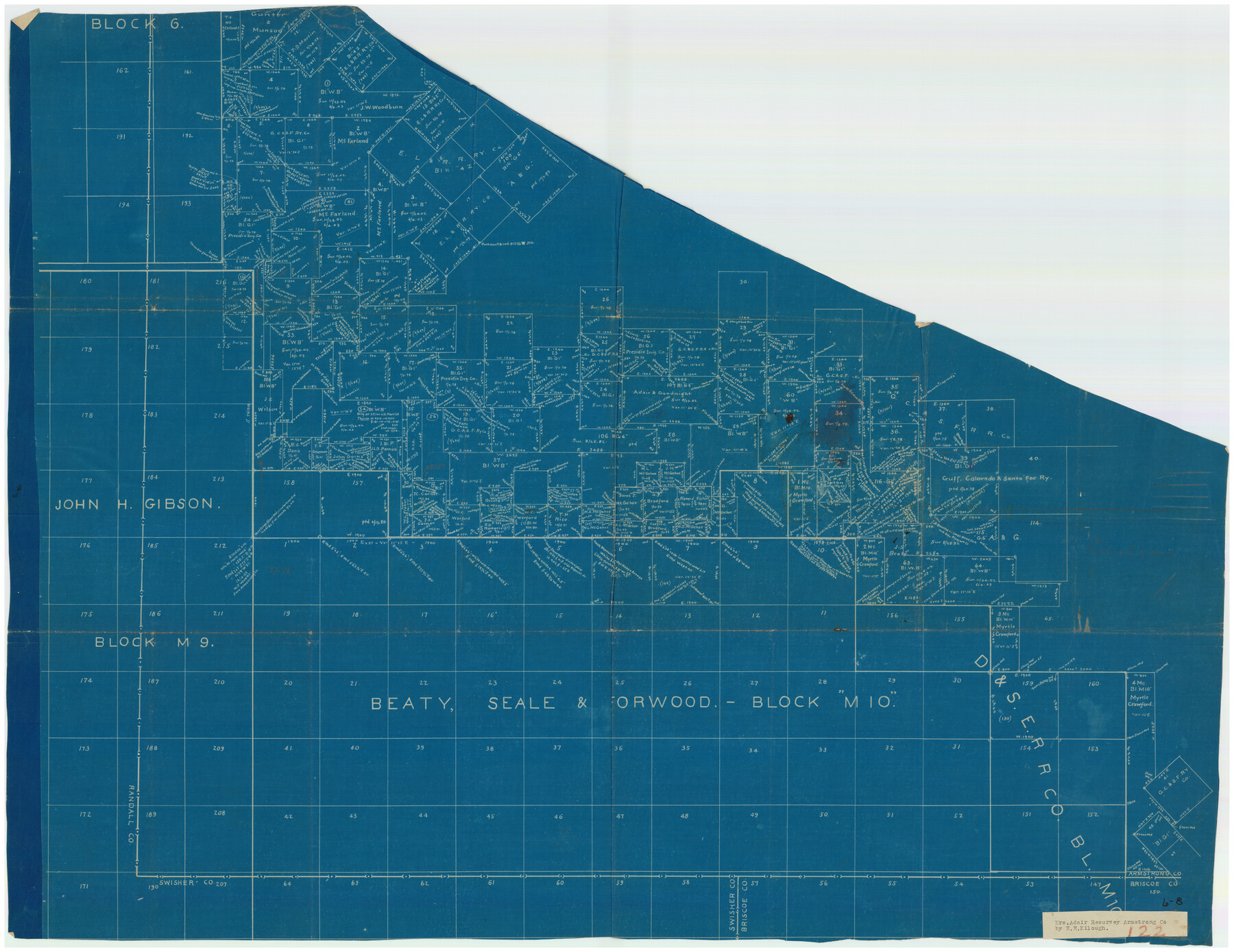
SW/4 of County, B.S.& F. Bk. M-10, J.W.Woodburn Bk.B-1 & G.C.&S.F. Bk.BIGN
6-8
-
Map/Doc
90266
-
Collection
Twichell Survey Records
-
Counties
Armstrong
-
Height x Width
34.6 x 27.0 inches
87.9 x 68.6 cm
-
Comments
"Old Home Ranch"
Part of: Twichell Survey Records
[South Center of County near surveys 1144 and 1143]
![90502, [South Center of County near surveys 1144 and 1143], Twichell Survey Records](https://historictexasmaps.com/wmedia_w700/maps/90502-1.tif.jpg)
Print $2.00
- Digital $50.00
[South Center of County near surveys 1144 and 1143]
Size 6.6 x 16.1 inches
Map/Doc 90502
Evans Addition to Ropes Hockley County, Texas Situated on W. L. Ellwood's Subdivision Number 19 League 9, Donley County School Land

Print $20.00
- Digital $50.00
Evans Addition to Ropes Hockley County, Texas Situated on W. L. Ellwood's Subdivision Number 19 League 9, Donley County School Land
1923
Size 24.2 x 21.0 inches
Map/Doc 92259
[Public School Land Blocks]
![93152, [Public School Land Blocks], Twichell Survey Records](https://historictexasmaps.com/wmedia_w700/maps/93152-1.tif.jpg)
Print $40.00
- Digital $50.00
[Public School Land Blocks]
Size 41.3 x 113.1 inches
Map/Doc 93152
[Coleman County Sections 359, 360, and 361]
![92553, [Coleman County Sections 359, 360, and 361], Twichell Survey Records](https://historictexasmaps.com/wmedia_w700/maps/92553-1.tif.jpg)
Print $20.00
- Digital $50.00
[Coleman County Sections 359, 360, and 361]
Size 17.6 x 22.5 inches
Map/Doc 92553
[T. & P. R. R. Co. Blk. 33, T3N]
![90131, [T. & P. R. R. Co. Blk. 33, T3N], Twichell Survey Records](https://historictexasmaps.com/wmedia_w700/maps/90131-1.tif.jpg)
Print $2.00
- Digital $50.00
[T. & P. R. R. Co. Blk. 33, T3N]
Size 8.7 x 11.6 inches
Map/Doc 90131
[In Northwest 1/4 of County in the vicinity of the John Walker Survey]
![90903, [In Northwest 1/4 of County in the vicinity of the John Walker Survey], Twichell Survey Records](https://historictexasmaps.com/wmedia_w700/maps/90903-1.tif.jpg)
Print $2.00
- Digital $50.00
[In Northwest 1/4 of County in the vicinity of the John Walker Survey]
Size 7.3 x 15.3 inches
Map/Doc 90903
Hartley County

Print $20.00
- Digital $50.00
Hartley County
1892
Size 25.0 x 20.0 inches
Map/Doc 90670
[Surveys along the Red River and Capitol Lands]
![90738, [Surveys along the Red River and Capitol Lands], Twichell Survey Records](https://historictexasmaps.com/wmedia_w700/maps/90738-1.tif.jpg)
Print $20.00
- Digital $50.00
[Surveys along the Red River and Capitol Lands]
Size 24.8 x 39.7 inches
Map/Doc 90738
[League in the South Part of Lamb County]
![91052, [League in the South Part of Lamb County], Twichell Survey Records](https://historictexasmaps.com/wmedia_w700/maps/91052-1.tif.jpg)
Print $20.00
- Digital $50.00
[League in the South Part of Lamb County]
Size 30.4 x 34.1 inches
Map/Doc 91052
[Bastrop County School Land Leagues 313 and 314, Thos. H. Cosby League 315 and El Paso County School Land League 316 and surrounding surveys]
![90819, [Bastrop County School Land Leagues 313 and 314, Thos. H. Cosby League 315 and El Paso County School Land League 316 and surrounding surveys], Twichell Survey Records](https://historictexasmaps.com/wmedia_w700/maps/90819-2.tif.jpg)
Print $3.00
- Digital $50.00
[Bastrop County School Land Leagues 313 and 314, Thos. H. Cosby League 315 and El Paso County School Land League 316 and surrounding surveys]
1898
Size 10.5 x 12.6 inches
Map/Doc 90819
Sketch of Southwest Corner of Palo Pinto County

Print $20.00
- Digital $50.00
Sketch of Southwest Corner of Palo Pinto County
Size 13.9 x 12.0 inches
Map/Doc 91647
Andrews County Block A-46

Print $20.00
- Digital $50.00
Andrews County Block A-46
Size 23.4 x 15.3 inches
Map/Doc 92638
You may also like
Bastrop County Boundary File 5

Print $18.00
- Digital $50.00
Bastrop County Boundary File 5
Size 9.1 x 7.2 inches
Map/Doc 50328
Webb County Sketch File C1

Print $10.00
- Digital $50.00
Webb County Sketch File C1
1915
Size 14.3 x 8.9 inches
Map/Doc 39673
Flight Mission No. BQR-12K, Frame 47, Brazoria County

Print $20.00
- Digital $50.00
Flight Mission No. BQR-12K, Frame 47, Brazoria County
1952
Size 18.7 x 22.4 inches
Map/Doc 84062
Titus County Sketch File 9

Print $4.00
- Digital $50.00
Titus County Sketch File 9
1855
Size 13.0 x 8.0 inches
Map/Doc 38146
Haskell County Sketch File 1

Print $20.00
- Digital $50.00
Haskell County Sketch File 1
1856
Size 19.9 x 10.6 inches
Map/Doc 11738
Uvalde County Working Sketch 64, revised

Print $20.00
- Digital $50.00
Uvalde County Working Sketch 64, revised
1998
Size 34.2 x 35.5 inches
Map/Doc 72135
Presidio County Sketch File 28

Print $20.00
- Digital $50.00
Presidio County Sketch File 28
1890
Size 30.2 x 16.1 inches
Map/Doc 11709
Flight Mission No. DQN-5K, Frame 55, Calhoun County

Print $20.00
- Digital $50.00
Flight Mission No. DQN-5K, Frame 55, Calhoun County
1953
Size 18.7 x 22.3 inches
Map/Doc 84398
General Highway Map, Gonzales County, Texas

Print $20.00
General Highway Map, Gonzales County, Texas
1961
Size 18.2 x 24.7 inches
Map/Doc 79482
Jackson County Sketch File 12a

Print $40.00
- Digital $50.00
Jackson County Sketch File 12a
Size 17.4 x 14.4 inches
Map/Doc 27658
Flight Mission No. BRE-3P, Frame 94, Nueces County

Print $20.00
- Digital $50.00
Flight Mission No. BRE-3P, Frame 94, Nueces County
1956
Size 18.5 x 22.4 inches
Map/Doc 86825
Arlancy the Land of Plenty Farms

Print $20.00
- Digital $50.00
Arlancy the Land of Plenty Farms
1925
Size 10.9 x 16.6 inches
Map/Doc 96737