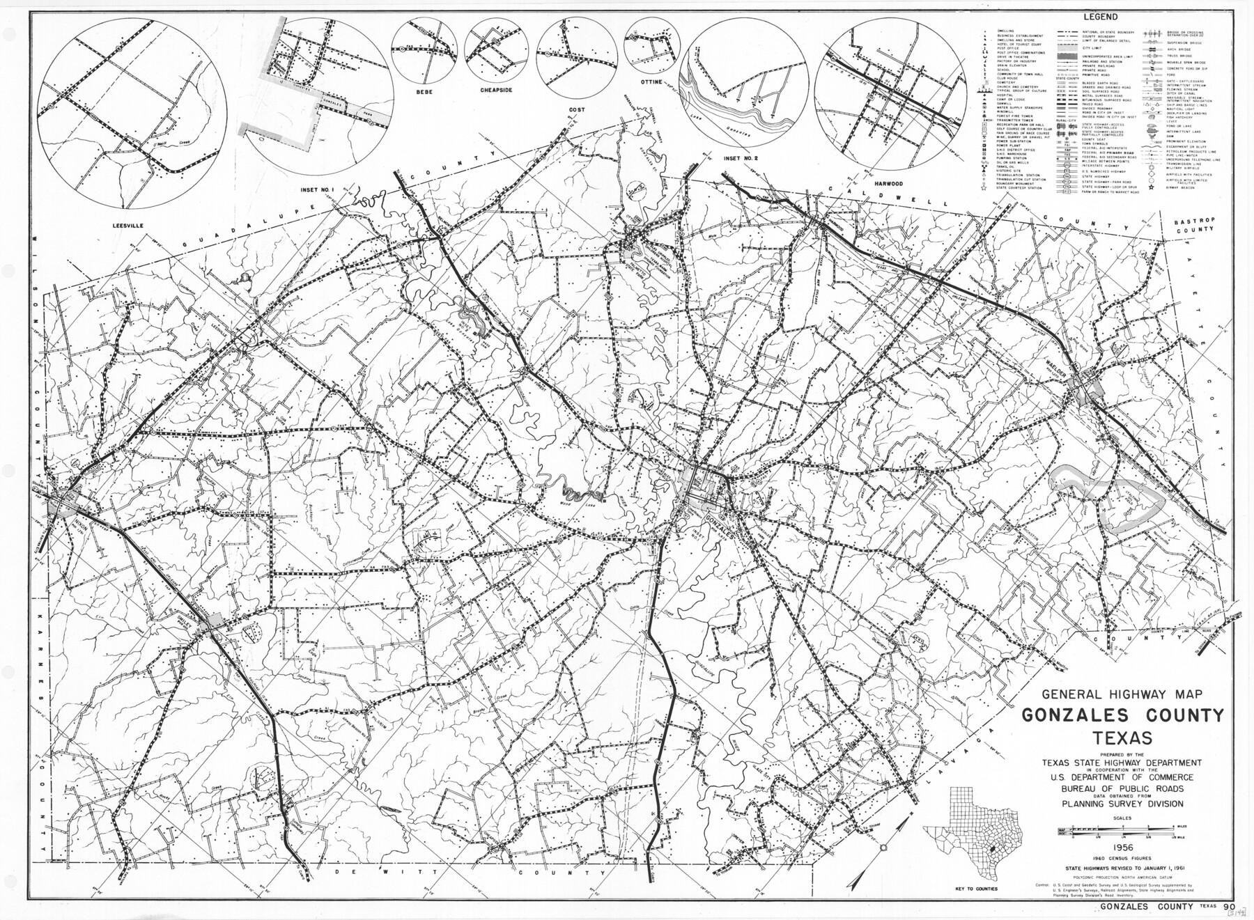
General Highway Map, Gonzales County, Texas
-
Map/Doc
79482
-
Collection
Texas State Library and Archives
-
Object Dates
1961 (Creation Date)
-
People and Organizations
Texas State Highway Department (Publisher)
-
Counties
Gonzales
-
Subjects
County
-
Height x Width
18.2 x 24.7 inches
46.2 x 62.7 cm
-
Comments
Prints available courtesy of the Texas State Library and Archives.
More info can be found here: TSLAC Map 05144
Part of: Texas State Library and Archives
Phelps and Watson's Historical and Military Map of the Border and Southern States

Print $20.00
Phelps and Watson's Historical and Military Map of the Border and Southern States
1863
Size 25.5 x 36.3 inches
Map/Doc 76202
General Highway Map, Concho County, Texas

Print $20.00
General Highway Map, Concho County, Texas
1940
Size 25.2 x 18.6 inches
Map/Doc 79057
General Highway Map, Kleberg County, Texas

Print $20.00
General Highway Map, Kleberg County, Texas
1961
Size 24.8 x 18.3 inches
Map/Doc 79558
General Highway Map, Edwards County, Real County, Texas

Print $20.00
General Highway Map, Edwards County, Real County, Texas
1961
Size 18.1 x 24.7 inches
Map/Doc 79452
General Highway Map, El Paso County, Texas

Print $20.00
General Highway Map, El Paso County, Texas
1961
Size 18.1 x 24.7 inches
Map/Doc 79457
General Highway Map, Austin County, Texas

Print $20.00
General Highway Map, Austin County, Texas
1961
Size 18.1 x 25.1 inches
Map/Doc 79357
General Highway Map, Terry County, Texas

Print $20.00
General Highway Map, Terry County, Texas
1940
Size 18.5 x 24.9 inches
Map/Doc 79257
General Highway Map, Kerr County, Texas

Print $20.00
General Highway Map, Kerr County, Texas
1961
Size 24.8 x 18.2 inches
Map/Doc 79551
That Part of Disturnell's Treaty Map in the Vicinity of the Rio Grande and Southern Boundary of New Mexico

Print $20.00
That Part of Disturnell's Treaty Map in the Vicinity of the Rio Grande and Southern Boundary of New Mexico
1851
Size 10.7 x 12.9 inches
Map/Doc 76285
Topographic Map of Texas and Oklahoma Boundary, Fort Augur Area

Print $20.00
Topographic Map of Texas and Oklahoma Boundary, Fort Augur Area
1924
Size 32.3 x 33.8 inches
Map/Doc 79755
General Highway Map, San Jacinto County, Texas

Print $20.00
General Highway Map, San Jacinto County, Texas
1940
Size 24.9 x 18.4 inches
Map/Doc 79236
Carte Geographique, Statistique et Historique du Mexique

Print $20.00
Carte Geographique, Statistique et Historique du Mexique
1824
Size 22.3 x 28.1 inches
Map/Doc 79315
You may also like
Brewster County Rolled Sketch 66

Print $20.00
- Digital $50.00
Brewster County Rolled Sketch 66
1940
Size 33.0 x 36.2 inches
Map/Doc 8490
San Patricio County Rolled Sketch 35

Print $20.00
- Digital $50.00
San Patricio County Rolled Sketch 35
1958
Size 26.6 x 26.9 inches
Map/Doc 7586
Hutchinson County Working Sketch 4

Print $20.00
- Digital $50.00
Hutchinson County Working Sketch 4
1907
Size 25.0 x 23.4 inches
Map/Doc 66362
[Sketch for Mineral Application 24072, San Jacinto River]
![65598, [Sketch for Mineral Application 24072, San Jacinto River], General Map Collection](https://historictexasmaps.com/wmedia_w700/maps/65598.tif.jpg)
Print $20.00
- Digital $50.00
[Sketch for Mineral Application 24072, San Jacinto River]
1929
Size 24.6 x 18.3 inches
Map/Doc 65598
[H. & T. C. , Block 47, Sections 26- 38]
![91255, [H. & T. C. , Block 47, Sections 26- 38], Twichell Survey Records](https://historictexasmaps.com/wmedia_w700/maps/91255-1.tif.jpg)
Print $2.00
- Digital $50.00
[H. & T. C. , Block 47, Sections 26- 38]
Size 14.5 x 9.2 inches
Map/Doc 91255
State Highway System of Texas Showing Condition of Improvement

Print $20.00
- Digital $50.00
State Highway System of Texas Showing Condition of Improvement
1928
Size 24.3 x 36.4 inches
Map/Doc 93719
Edwards County Working Sketch 102

Print $20.00
- Digital $50.00
Edwards County Working Sketch 102
1971
Size 35.0 x 25.5 inches
Map/Doc 68978
Lavaca County Working Sketch Graphic Index

Print $40.00
- Digital $50.00
Lavaca County Working Sketch Graphic Index
1946
Size 49.9 x 41.5 inches
Map/Doc 76616
[Blocks D and P]
![92490, [Blocks D and P], Twichell Survey Records](https://historictexasmaps.com/wmedia_w700/maps/92490-1.tif.jpg)
Print $20.00
- Digital $50.00
[Blocks D and P]
Size 41.8 x 29.1 inches
Map/Doc 92490

Book of Photostatic Copies of Plats for Texas and Pacific Ry. Co. Lands

Digital $50.00
Book of Photostatic Copies of Plats for Texas and Pacific Ry. Co. Lands
Map/Doc 2222
Dimmit County Working Sketch 56

Print $20.00
- Digital $50.00
Dimmit County Working Sketch 56
1990
Size 23.0 x 29.0 inches
Map/Doc 68717