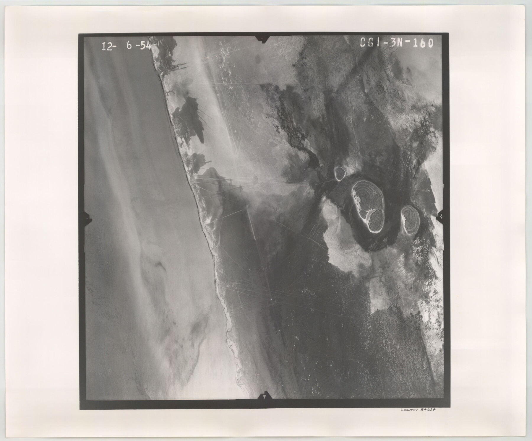
Flight Mission No. CGI-3N, Frame 160, Cameron County
CGI-3N-160
-
Map/Doc
84624
-
Collection
General Map Collection
-
Object Dates
1954/12/6 (Creation Date)
-
People and Organizations
U. S. Department of Agriculture (Publisher)
-
Counties
Cameron
-
Subjects
Aerial Photograph
-
Height x Width
18.5 x 22.3 inches
47.0 x 56.6 cm
-
Comments
Flown by Puckett Aerial Surveys, Inc. of Jackson, Mississippi.
Part of: General Map Collection
Lampasas County

Print $20.00
- Digital $50.00
Lampasas County
1972
Size 33.2 x 41.9 inches
Map/Doc 77347
San Antonio & Aransas Pass RR Co., Fort Bend County, Texas

Print $20.00
- Digital $50.00
San Antonio & Aransas Pass RR Co., Fort Bend County, Texas
1898
Size 10.5 x 31.0 inches
Map/Doc 64143
St. Louis, Brownsville & Mexico Railway Location map from Mile 40 to Mile 60

Print $40.00
- Digital $50.00
St. Louis, Brownsville & Mexico Railway Location map from Mile 40 to Mile 60
1905
Size 19.3 x 61.9 inches
Map/Doc 64080
Harris County Boundary File 3

Print $16.00
- Digital $50.00
Harris County Boundary File 3
Size 14.7 x 7.0 inches
Map/Doc 54298
Sketch J No. 2 Showing the Progress of the Survey of San Francisco Bay and Vicinity Section X From 1850 to 1852

Print $20.00
- Digital $50.00
Sketch J No. 2 Showing the Progress of the Survey of San Francisco Bay and Vicinity Section X From 1850 to 1852
1852
Size 12.3 x 12.7 inches
Map/Doc 97229
Newton County Rolled Sketch JFB

Print $20.00
- Digital $50.00
Newton County Rolled Sketch JFB
Size 16.0 x 38.3 inches
Map/Doc 6858
Flight Mission No. CGI-3N, Frame 98, Cameron County

Print $20.00
- Digital $50.00
Flight Mission No. CGI-3N, Frame 98, Cameron County
1954
Size 18.5 x 22.1 inches
Map/Doc 84578
Flight Mission No. DCL-6C, Frame 181, Kenedy County

Print $20.00
- Digital $50.00
Flight Mission No. DCL-6C, Frame 181, Kenedy County
1943
Size 18.5 x 22.2 inches
Map/Doc 85993
Flight Mission No. CRK-3P, Frame 65, Refugio County

Print $20.00
- Digital $50.00
Flight Mission No. CRK-3P, Frame 65, Refugio County
1956
Size 18.5 x 22.4 inches
Map/Doc 86907
Jones County Sketch File 19

Print $56.00
- Digital $50.00
Jones County Sketch File 19
1875
Size 11.1 x 8.6 inches
Map/Doc 28516
Jefferson County Working Sketch 28

Print $20.00
- Digital $50.00
Jefferson County Working Sketch 28
1977
Size 46.2 x 42.9 inches
Map/Doc 66571
Duval County Sketch File 17

Print $20.00
- Digital $50.00
Duval County Sketch File 17
1876
Size 19.0 x 17.8 inches
Map/Doc 11383
You may also like
Maps of Block 97, Borden & Scurry Counties

Print $40.00
- Digital $50.00
Maps of Block 97, Borden & Scurry Counties
Size 58.2 x 42.2 inches
Map/Doc 65691
The Mexican Municipality of Washington. Proposed Creation, ca Spring 1835

Print $20.00
The Mexican Municipality of Washington. Proposed Creation, ca Spring 1835
2020
Size 13.1 x 21.7 inches
Map/Doc 96035
Red River County, Texas

Print $20.00
- Digital $50.00
Red River County, Texas
Size 22.2 x 17.2 inches
Map/Doc 95756
Stonewall County Rolled Sketch 22

Print $20.00
- Digital $50.00
Stonewall County Rolled Sketch 22
1951
Size 33.3 x 30.7 inches
Map/Doc 76011
Polk County Working Sketch 28

Print $40.00
- Digital $50.00
Polk County Working Sketch 28
1960
Size 53.5 x 43.6 inches
Map/Doc 71644
Sketch of Crosby Co.

Print $20.00
- Digital $50.00
Sketch of Crosby Co.
1884
Size 14.8 x 12.5 inches
Map/Doc 506
Map Showing Colonel A.W. Doniphan's Route through the States of New Mexico, Chihuahua and Coahuila

Print $20.00
Map Showing Colonel A.W. Doniphan's Route through the States of New Mexico, Chihuahua and Coahuila
1847
Size 16.9 x 14.0 inches
Map/Doc 79729
Travis County Sketch File 24

Print $4.00
- Digital $50.00
Travis County Sketch File 24
1876
Size 8.1 x 15.4 inches
Map/Doc 38332
Uvalde County Sketch File 25

Print $8.00
- Digital $50.00
Uvalde County Sketch File 25
1928
Size 14.5 x 8.8 inches
Map/Doc 39016
[El Javali Grant,] Sketch of 2560 acres of land in Starr County
![474, [El Javali Grant,] Sketch of 2560 acres of land in Starr County, Maddox Collection](https://historictexasmaps.com/wmedia_w700/maps/0474.tif.jpg)
Print $20.00
- Digital $50.00
[El Javali Grant,] Sketch of 2560 acres of land in Starr County
Size 13.4 x 14.0 inches
Map/Doc 474
University Lands Blocks 29-33, Crockett County, Texas

Print $20.00
- Digital $50.00
University Lands Blocks 29-33, Crockett County, Texas
1936
Size 29.2 x 42.4 inches
Map/Doc 2407
San Patricio County Working Sketch 16

Print $20.00
- Digital $50.00
San Patricio County Working Sketch 16
1952
Size 41.6 x 32.1 inches
Map/Doc 63778