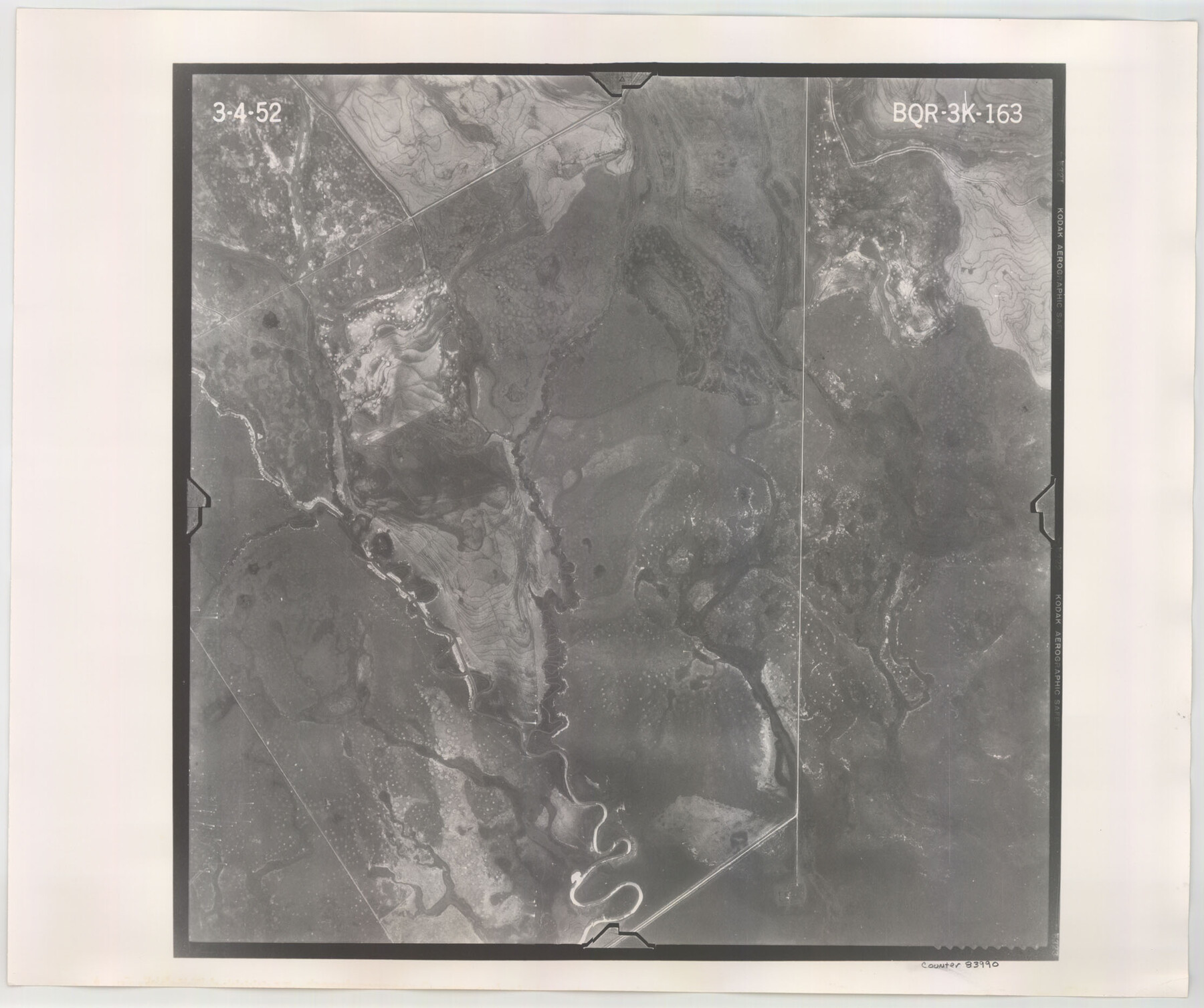
Flight Mission No. BQR-3K, Frame 163, Brazoria County
BQR-3K-163
-
Map/Doc
83990
-
Collection
General Map Collection
-
Object Dates
1952/3/4 (Creation Date)
-
People and Organizations
U. S. Department of Agriculture (Publisher)
-
Counties
Brazoria
-
Subjects
Aerial Photograph
-
Height x Width
18.7 x 22.3 inches
47.5 x 56.6 cm
-
Comments
Flown by Aero Exploration Company of Tulsa, Oklahoma.
Part of: General Map Collection
Liberty County Rolled Sketch K

Print $40.00
- Digital $50.00
Liberty County Rolled Sketch K
1946
Size 35.3 x 54.7 inches
Map/Doc 10647
Harris County Working Sketch 39

Print $20.00
- Digital $50.00
Harris County Working Sketch 39
1940
Size 21.6 x 20.1 inches
Map/Doc 65931
Marion County Working Sketch 12

Print $20.00
- Digital $50.00
Marion County Working Sketch 12
1952
Size 24.5 x 34.2 inches
Map/Doc 70787
Leon County Working Sketch 41

Print $40.00
- Digital $50.00
Leon County Working Sketch 41
1980
Size 61.2 x 43.2 inches
Map/Doc 70440
Crane County Working Sketch 5

Print $40.00
- Digital $50.00
Crane County Working Sketch 5
1928
Size 34.5 x 49.0 inches
Map/Doc 68282
In the Supreme Court of the United States, The State of Oklahoma, Complainant vs. The State of Texas, Defendant, The United States of America, Intervener, Red River Valley, Texas and Oklahoma Between the 98th and 100th Meridians in Five Sheets, 1921

Print $40.00
- Digital $50.00
In the Supreme Court of the United States, The State of Oklahoma, Complainant vs. The State of Texas, Defendant, The United States of America, Intervener, Red River Valley, Texas and Oklahoma Between the 98th and 100th Meridians in Five Sheets, 1921
1921
Size 38.4 x 60.0 inches
Map/Doc 75275
McMullen County Working Sketch 58

Print $40.00
- Digital $50.00
McMullen County Working Sketch 58
1984
Size 61.2 x 40.0 inches
Map/Doc 70759
Medina County Working Sketch 15

Print $20.00
- Digital $50.00
Medina County Working Sketch 15
1974
Size 26.2 x 18.7 inches
Map/Doc 70930
Kent County Working Sketch 1

Print $20.00
- Digital $50.00
Kent County Working Sketch 1
1930
Size 29.9 x 24.8 inches
Map/Doc 70007
Polk County Working Sketch 30

Print $20.00
- Digital $50.00
Polk County Working Sketch 30
1960
Size 18.2 x 24.4 inches
Map/Doc 71646
Coast Chart No. 212 - From Latitude 26° 33' to the Rio Grande, Texas

Print $20.00
- Digital $50.00
Coast Chart No. 212 - From Latitude 26° 33' to the Rio Grande, Texas
1886
Size 37.8 x 34.1 inches
Map/Doc 73503
Trinity County Rolled Sketch 2

Print $20.00
- Digital $50.00
Trinity County Rolled Sketch 2
1948
Size 34.5 x 34.9 inches
Map/Doc 10024
You may also like
Starr County Sketch File 21

Print $52.00
- Digital $50.00
Starr County Sketch File 21
1912
Size 14.2 x 8.7 inches
Map/Doc 36889
Current Miscellaneous File 20

Print $22.00
- Digital $50.00
Current Miscellaneous File 20
1952
Size 10.7 x 8.1 inches
Map/Doc 73855

Hale County Sketch File 3

Print $4.00
- Digital $50.00
Hale County Sketch File 3
1888
Size 8.6 x 12.7 inches
Map/Doc 24723
Real County Working Sketch 72

Print $20.00
- Digital $50.00
Real County Working Sketch 72
1976
Size 47.3 x 43.3 inches
Map/Doc 71964
Freestone County Sketch File 27

Print $2.00
- Digital $50.00
Freestone County Sketch File 27
1934
Size 11.3 x 8.6 inches
Map/Doc 23098
Harris County Sketch File 96

Print $426.00
- Digital $50.00
Harris County Sketch File 96
1938
Size 26.2 x 36.9 inches
Map/Doc 10484
Anderson County Boundary File 3

Print $9.00
- Digital $50.00
Anderson County Boundary File 3
Size 14.3 x 8.8 inches
Map/Doc 49733
Eastland County Working Sketch 11

Print $20.00
- Digital $50.00
Eastland County Working Sketch 11
1919
Size 20.2 x 16.7 inches
Map/Doc 68792
Map of Leon County

Print $20.00
- Digital $50.00
Map of Leon County
1867
Size 25.5 x 23.1 inches
Map/Doc 3809
State of Texas

Print $40.00
- Digital $50.00
State of Texas
1985
Size 50.0 x 53.6 inches
Map/Doc 2486
Starr County Working Sketch 11

Print $20.00
- Digital $50.00
Starr County Working Sketch 11
1944
Size 18.1 x 17.7 inches
Map/Doc 63927