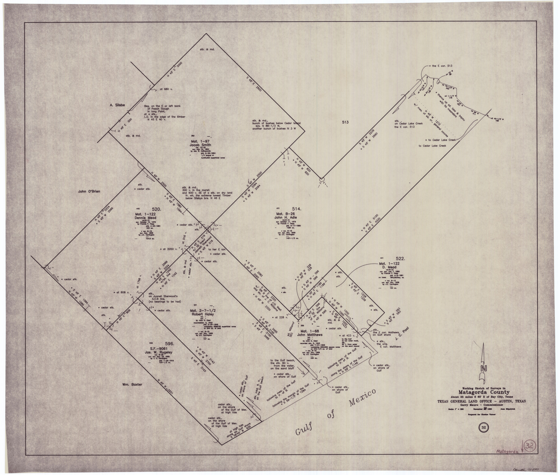
Matagorda County Working Sketch 32
-
Map/Doc
70890
-
Collection
General Map Collection
-
Object Dates
12/28/1993 (Creation Date)
-
People and Organizations
Joan Kilpatrick (Draftsman)
-
Counties
Matagorda
-
Subjects
Surveying Working Sketch
-
Height x Width
28.4 x 33.5 inches
72.1 x 85.1 cm
-
Scale
1" = 300 varas
Part of: General Map Collection
Val Verde County Working Sketch 18

Print $20.00
- Digital $50.00
Val Verde County Working Sketch 18
1928
Size 31.4 x 28.3 inches
Map/Doc 72153
Map of Harrison County

Print $20.00
- Digital $50.00
Map of Harrison County
1880
Size 20.4 x 21.8 inches
Map/Doc 1119
Maps & Lists Showing Prison Lands (Oil & Gas) Leased as of June 1955

Digital $50.00
Maps & Lists Showing Prison Lands (Oil & Gas) Leased as of June 1955
1934
Size 19.1 x 38.7 inches
Map/Doc 62878
Atascosa County Rolled Sketch R

Print $20.00
- Digital $50.00
Atascosa County Rolled Sketch R
Size 19.6 x 19.6 inches
Map/Doc 5103
Webb County Sketch File 25

Print $20.00
- Digital $50.00
Webb County Sketch File 25
1936
Size 18.2 x 30.7 inches
Map/Doc 12639
Matagorda County Sketch File 38

Print $20.00
- Digital $50.00
Matagorda County Sketch File 38
1904
Size 24.4 x 33.0 inches
Map/Doc 12046

Brewster County Rolled Sketch 99

Print $20.00
- Digital $50.00
Brewster County Rolled Sketch 99
1953
Size 26.6 x 22.4 inches
Map/Doc 5255
Flight Mission No. DQO-8K, Frame 14, Galveston County

Print $20.00
- Digital $50.00
Flight Mission No. DQO-8K, Frame 14, Galveston County
1952
Size 18.7 x 22.4 inches
Map/Doc 85137
Baylor County Sketch File A

Print $6.00
- Digital $50.00
Baylor County Sketch File A
Size 7.5 x 9.2 inches
Map/Doc 14072
Cooke County Boundary File 1b

Print $28.00
- Digital $50.00
Cooke County Boundary File 1b
Size 12.6 x 7.4 inches
Map/Doc 51835
Dimmit County Rolled Sketch 22A

Print $20.00
- Digital $50.00
Dimmit County Rolled Sketch 22A
2012
Size 23.2 x 34.0 inches
Map/Doc 93630
You may also like
Parker County Rolled Sketch 2

Print $20.00
- Digital $50.00
Parker County Rolled Sketch 2
Size 32.4 x 19.6 inches
Map/Doc 7203
Burnet County Sketch File 23

Print $8.00
- Digital $50.00
Burnet County Sketch File 23
1853
Size 9.0 x 10.9 inches
Map/Doc 16718
Borden County Working Sketch 16

Print $40.00
- Digital $50.00
Borden County Working Sketch 16
2007
Size 48.0 x 29.4 inches
Map/Doc 87206
Trinity River, Levee Improvement Districts Widths of Floodways/Chambers Creek

Print $4.00
- Digital $50.00
Trinity River, Levee Improvement Districts Widths of Floodways/Chambers Creek
1921
Size 18.6 x 28.3 inches
Map/Doc 65247
El Paso County Working Sketch 8

Print $20.00
- Digital $50.00
El Paso County Working Sketch 8
1952
Size 23.9 x 22.5 inches
Map/Doc 69030
Flight Mission No. CRC-6R, Frame 13, Chambers County

Print $20.00
- Digital $50.00
Flight Mission No. CRC-6R, Frame 13, Chambers County
1956
Size 18.6 x 22.3 inches
Map/Doc 84967
El Paso County Working Sketch 23

Print $20.00
- Digital $50.00
El Paso County Working Sketch 23
1961
Size 22.3 x 28.8 inches
Map/Doc 69045
Williamson County Sketch File 12

Print $4.00
- Digital $50.00
Williamson County Sketch File 12
1860
Size 12.6 x 3.4 inches
Map/Doc 40326
Hutchinson County Working Sketch 2

Print $20.00
- Digital $50.00
Hutchinson County Working Sketch 2
Size 32.0 x 18.9 inches
Map/Doc 66360
Coke County Working Sketch 1

Print $20.00
- Digital $50.00
Coke County Working Sketch 1
Size 16.3 x 36.2 inches
Map/Doc 68038
![91462, [Block B7], Twichell Survey Records](https://historictexasmaps.com/wmedia_w700/maps/91462-1.tif.jpg)
Cass County, Texas

Print $20.00
- Digital $50.00
Cass County, Texas
1879
Size 18.4 x 20.8 inches
Map/Doc 652