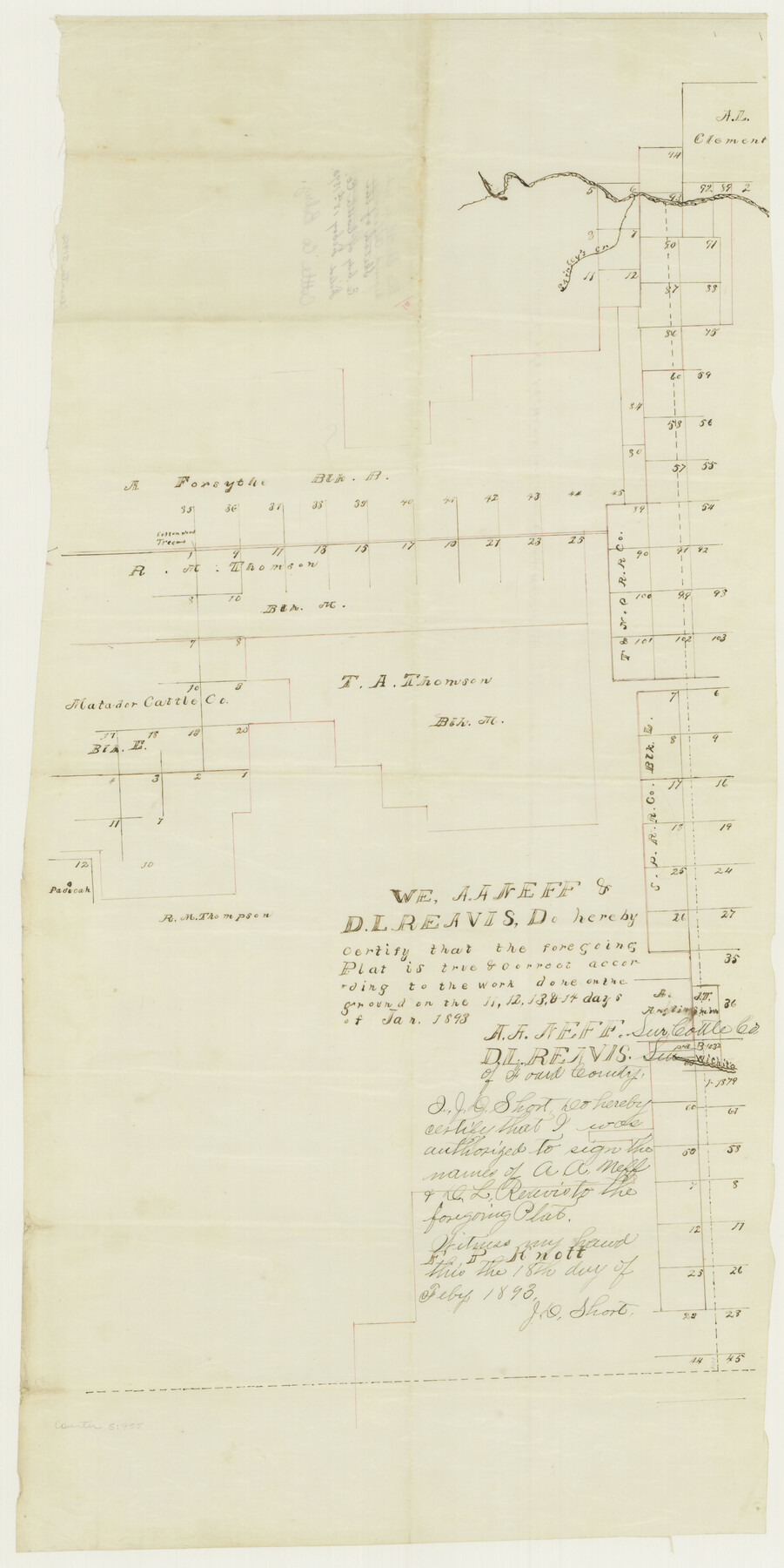
Cottle County Boundary File 1a
Sketch of the E[ast] b[oun]d[ar]y of Cottle Co[unty]
-
Map/Doc
51955
-
Collection
General Map Collection
-
Counties
Cottle
-
Subjects
County Boundaries
-
Height x Width
34.5 x 17.3 inches
87.6 x 43.9 cm
Part of: General Map Collection
Bexar County Sketch File 41

Print $4.00
- Digital $50.00
Bexar County Sketch File 41
Size 8.3 x 5.3 inches
Map/Doc 14516
Travis County Working Sketch 59

Print $20.00
- Digital $50.00
Travis County Working Sketch 59
1992
Size 33.1 x 29.0 inches
Map/Doc 69443
Galveston County

Print $40.00
- Digital $50.00
Galveston County
1939
Size 42.9 x 54.9 inches
Map/Doc 77287
Travis County Appraisal District Plat Map 3_0404

Print $20.00
- Digital $50.00
Travis County Appraisal District Plat Map 3_0404
Size 21.5 x 26.4 inches
Map/Doc 94226
King County Sketch File 7A

Print $28.00
- Digital $50.00
King County Sketch File 7A
1902
Size 22.1 x 34.7 inches
Map/Doc 11936
Pecos County Working Sketch 64

Print $20.00
- Digital $50.00
Pecos County Working Sketch 64
1955
Size 27.7 x 43.4 inches
Map/Doc 71536
Brazoria County Boundary File 12 1/2

Print $10.00
- Digital $50.00
Brazoria County Boundary File 12 1/2
Size 9.0 x 7.3 inches
Map/Doc 50733

Flight Mission No. BQR-22K, Frame 34, Brazoria County

Print $20.00
- Digital $50.00
Flight Mission No. BQR-22K, Frame 34, Brazoria County
1953
Size 18.7 x 22.5 inches
Map/Doc 84118
Aransas County Working Sketch 13

Print $20.00
- Digital $50.00
Aransas County Working Sketch 13
1950
Size 26.0 x 42.2 inches
Map/Doc 67180
Leon County Working Sketch 47

Print $20.00
- Digital $50.00
Leon County Working Sketch 47
1980
Size 29.3 x 25.8 inches
Map/Doc 70446
Mitchell's school atlas: comprising the maps, etc., designed to illustrate Mitchell's school and family geography

Print $370.00
- Digital $50.00
Mitchell's school atlas: comprising the maps, etc., designed to illustrate Mitchell's school and family geography
1851
Size 12.0 x 9.6 inches
Map/Doc 93491
You may also like
La Salle County Sketch File 28a

Print $6.00
- Digital $50.00
La Salle County Sketch File 28a
1898
Size 4.5 x 5.2 inches
Map/Doc 29558
Stephens County Sketch File 26

Print $10.00
- Digital $50.00
Stephens County Sketch File 26
Size 14.1 x 8.8 inches
Map/Doc 37096
Somervell County Sketch File 5

Print $95.00
- Digital $50.00
Somervell County Sketch File 5
1871
Size 8.8 x 7.7 inches
Map/Doc 36802
Trinity County Rolled Sketch 7

Print $20.00
- Digital $50.00
Trinity County Rolled Sketch 7
1999
Size 24.8 x 36.3 inches
Map/Doc 8054
[Sketch for Mineral Application 13439 - Old River, Walle Merritt]
![65689, [Sketch for Mineral Application 13439 - Old River, Walle Merritt], General Map Collection](https://historictexasmaps.com/wmedia_w700/maps/65689-1.tif.jpg)
Print $20.00
- Digital $50.00
[Sketch for Mineral Application 13439 - Old River, Walle Merritt]
1925
Size 41.0 x 19.0 inches
Map/Doc 65689
Uvalde County Working Sketch 15

Print $20.00
- Digital $50.00
Uvalde County Working Sketch 15
1945
Size 18.5 x 26.9 inches
Map/Doc 72085
Moore County Sketch File 1

Print $20.00
- Digital $50.00
Moore County Sketch File 1
Size 28.9 x 38.6 inches
Map/Doc 10552
Map of Ramon Musquiz Survey, Meanders of Lavaca & Navidad Rivers, Menefee & Redfish Lakes

Print $20.00
- Digital $50.00
Map of Ramon Musquiz Survey, Meanders of Lavaca & Navidad Rivers, Menefee & Redfish Lakes
1934
Size 23.4 x 18.4 inches
Map/Doc 65455
[Sketch for Mineral Application 24072, San Jacinto River]
![65603, [Sketch for Mineral Application 24072, San Jacinto River], General Map Collection](https://historictexasmaps.com/wmedia_w700/maps/65603.tif.jpg)
Print $20.00
- Digital $50.00
[Sketch for Mineral Application 24072, San Jacinto River]
1929
Size 23.4 x 17.6 inches
Map/Doc 65603
Flight Mission No. BRE-1P, Frame 9, Nueces County

Print $20.00
- Digital $50.00
Flight Mission No. BRE-1P, Frame 9, Nueces County
1956
Size 18.5 x 22.4 inches
Map/Doc 86617
Burnet County Boundary File 9

Print $12.00
- Digital $50.00
Burnet County Boundary File 9
Size 14.1 x 8.6 inches
Map/Doc 50943
Map of the Hearne and Brazos Valley Railroad from Mumford to Moseley's Ferry

Print $40.00
- Digital $50.00
Map of the Hearne and Brazos Valley Railroad from Mumford to Moseley's Ferry
1892
Size 20.0 x 56.8 inches
Map/Doc 64400