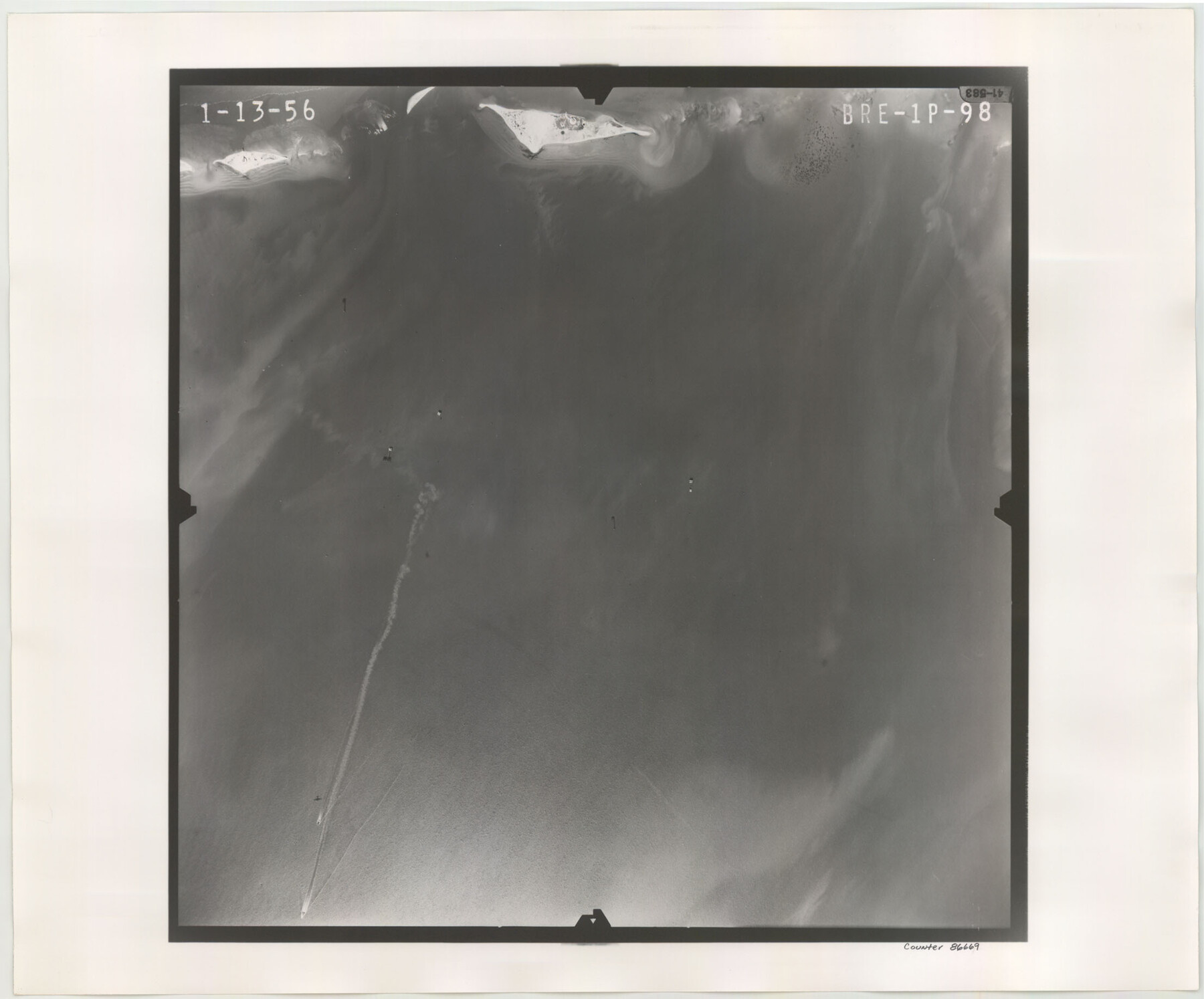
Flight Mission No. BRE-1P, Frame 98, Nueces County
BRE-1P-98
-
Map/Doc
86669
-
Collection
General Map Collection
-
Object Dates
1956/1/13 (Creation Date)
-
People and Organizations
U. S. Department of Agriculture (Publisher)
-
Counties
Nueces
-
Subjects
Aerial Photograph
-
Height x Width
18.4 x 22.1 inches
46.7 x 56.1 cm
-
Comments
Flown by V. L. Beavers and Associates of San Antonio, Texas.
Part of: General Map Collection
Lipscomb County Rolled Sketch 1

Print $40.00
- Digital $50.00
Lipscomb County Rolled Sketch 1
Size 65.0 x 15.8 inches
Map/Doc 9449
Webb County Sketch File 11-2

Print $6.00
- Digital $50.00
Webb County Sketch File 11-2
1932
Size 9.9 x 4.5 inches
Map/Doc 39788
Henderson County Working Sketch 12

Print $20.00
- Digital $50.00
Henderson County Working Sketch 12
1915
Size 23.3 x 24.9 inches
Map/Doc 66145
San Patricio County Rolled Sketch 46E

Print $20.00
- Digital $50.00
San Patricio County Rolled Sketch 46E
1983
Size 17.4 x 46.3 inches
Map/Doc 8376
Map of the River Sabine from Logan's Ferry to 32nd degree of north latitude

Print $2.00
- Digital $50.00
Map of the River Sabine from Logan's Ferry to 32nd degree of north latitude
1841
Size 8.6 x 10.5 inches
Map/Doc 65388
Matagorda County Rolled Sketch 31

Print $187.00
- Digital $50.00
Matagorda County Rolled Sketch 31
Size 10.6 x 15.5 inches
Map/Doc 46654
Coryell County Working Sketch 10

Print $20.00
- Digital $50.00
Coryell County Working Sketch 10
1949
Size 36.7 x 37.0 inches
Map/Doc 68217
Brazoria County Sketch File 55

Print $80.00
- Digital $50.00
Brazoria County Sketch File 55
1899
Size 14.9 x 55.0 inches
Map/Doc 10327
Kerr County Rolled Sketch 27

Print $20.00
- Digital $50.00
Kerr County Rolled Sketch 27
1983
Size 33.1 x 33.5 inches
Map/Doc 6506
[Surveys along the Nueces River in San Patricio County]
![69737, [Surveys along the Nueces River in San Patricio County], General Map Collection](https://historictexasmaps.com/wmedia_w700/maps/69737.tif.jpg)
Print $2.00
- Digital $50.00
[Surveys along the Nueces River in San Patricio County]
1842
Size 8.8 x 9.9 inches
Map/Doc 69737
Texas Highway Map Points of Interest, Recreational Facilities Guide, Special Events Calendar [Verso]
![94188, Texas Highway Map Points of Interest, Recreational Facilities Guide, Special Events Calendar [Verso], General Map Collection](https://historictexasmaps.com/wmedia_w700/maps/94188.tif.jpg)
Texas Highway Map Points of Interest, Recreational Facilities Guide, Special Events Calendar [Verso]
1963
Size 31.0 x 18.3 inches
Map/Doc 94188
Flight Mission No. CUG-3P, Frame 160, Kleberg County

Print $20.00
- Digital $50.00
Flight Mission No. CUG-3P, Frame 160, Kleberg County
1956
Size 18.4 x 22.1 inches
Map/Doc 86280
You may also like
Flight Mission No. BRA-8M, Frame 134, Jefferson County

Print $20.00
- Digital $50.00
Flight Mission No. BRA-8M, Frame 134, Jefferson County
1953
Size 18.6 x 22.5 inches
Map/Doc 85630
Brazoria County Sketch File 8

Print $4.00
- Digital $50.00
Brazoria County Sketch File 8
1874
Size 12.4 x 8.4 inches
Map/Doc 14934
Anderson County Working Sketch 6

Print $20.00
- Digital $50.00
Anderson County Working Sketch 6
1913
Size 24.7 x 26.3 inches
Map/Doc 67005
Starr County Working Sketch 22

Print $20.00
- Digital $50.00
Starr County Working Sketch 22
1983
Size 25.8 x 33.1 inches
Map/Doc 63938
United States - Gulf Coast - Padre I. and Laguna Madre Lat. 27° 12' to Lat. 26° 33' Texas

Print $20.00
- Digital $50.00
United States - Gulf Coast - Padre I. and Laguna Madre Lat. 27° 12' to Lat. 26° 33' Texas
1913
Size 27.1 x 18.3 inches
Map/Doc 72816
Johnson County Working Sketch 16

Print $20.00
- Digital $50.00
Johnson County Working Sketch 16
1981
Size 37.3 x 38.0 inches
Map/Doc 66629
Part of Tom Green County, Texas (No. 2)

Print $20.00
- Digital $50.00
Part of Tom Green County, Texas (No. 2)
1870
Size 22.9 x 18.0 inches
Map/Doc 5046
Colorado County Sketch File 21

Print $8.00
- Digital $50.00
Colorado County Sketch File 21
Size 13.1 x 8.8 inches
Map/Doc 18957
Proceedings of The International (Water) Boundary Commission United States and Mexico Treaties of 1884 and 1889, Volume 1

Proceedings of The International (Water) Boundary Commission United States and Mexico Treaties of 1884 and 1889, Volume 1
Map/Doc 83144
Flight Mission No. BRA-8M, Frame 115, Jefferson County

Print $20.00
- Digital $50.00
Flight Mission No. BRA-8M, Frame 115, Jefferson County
1953
Size 18.6 x 22.2 inches
Map/Doc 85611
Bell County Working Sketch 11

Print $20.00
- Digital $50.00
Bell County Working Sketch 11
1956
Size 31.8 x 24.4 inches
Map/Doc 67351
Lampasas County Sketch File X

Print $40.00
- Digital $50.00
Lampasas County Sketch File X
1909
Size 13.2 x 17.4 inches
Map/Doc 29386