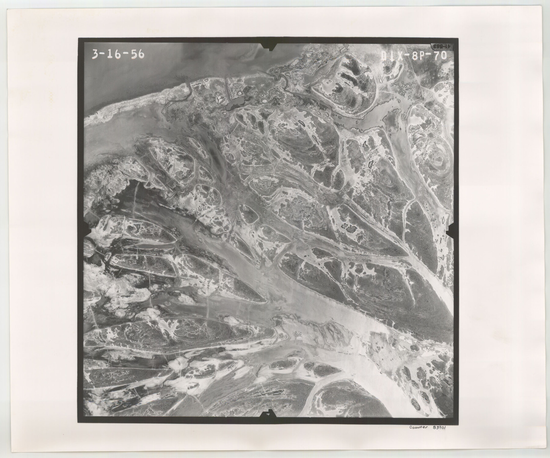
Flight Mission No. DIX-8P, Frame 70, Aransas County
DIX-8P-70
-
Map/Doc
83901
-
Collection
General Map Collection
-
Object Dates
1956/3/16 (Creation Date)
-
People and Organizations
U. S. Department of Agriculture (Publisher)
-
Counties
Aransas
-
Subjects
Aerial Photograph
-
Height x Width
18.7 x 22.4 inches
47.5 x 56.9 cm
-
Comments
Flown by V. L. Beavers and Associates of San Antonio, Texas.
Part of: General Map Collection
Flight Mission No. DQN-7K, Frame 31, Calhoun County

Print $20.00
- Digital $50.00
Flight Mission No. DQN-7K, Frame 31, Calhoun County
1953
Size 18.5 x 22.1 inches
Map/Doc 84469
Gaines County Rolled Sketch 33

Print $20.00
- Digital $50.00
Gaines County Rolled Sketch 33
1995
Size 17.4 x 18.2 inches
Map/Doc 76413
Loving County Rolled Sketch 9

Print $20.00
- Digital $50.00
Loving County Rolled Sketch 9
1985
Size 14.2 x 17.3 inches
Map/Doc 6640
Lamar County Sketch File 2

Print $4.00
- Digital $50.00
Lamar County Sketch File 2
1859
Size 12.1 x 7.5 inches
Map/Doc 29273
Flight Mission No. CGI-2N, Frame 180, Cameron County

Print $20.00
- Digital $50.00
Flight Mission No. CGI-2N, Frame 180, Cameron County
1954
Size 18.5 x 22.1 inches
Map/Doc 84540
Burleson County Working Sketch 26

Print $20.00
- Digital $50.00
Burleson County Working Sketch 26
1981
Size 10.1 x 30.5 inches
Map/Doc 67745
Crockett County Rolled Sketch 88D

Print $40.00
- Digital $50.00
Crockett County Rolled Sketch 88D
Size 43.2 x 52.0 inches
Map/Doc 8729
Flight Mission No. DQN-3K, Frame 51, Calhoun County

Print $20.00
- Digital $50.00
Flight Mission No. DQN-3K, Frame 51, Calhoun County
1953
Size 18.5 x 22.2 inches
Map/Doc 84352
Red River County Working Sketch 45

Print $20.00
- Digital $50.00
Red River County Working Sketch 45
1968
Size 31.6 x 37.1 inches
Map/Doc 72028
Brewster County Rolled Sketch 24C

Print $20.00
- Digital $50.00
Brewster County Rolled Sketch 24C
Size 17.5 x 20.8 inches
Map/Doc 5210
Map of Baffin & Alazan Bays, Cayo Infiernillo in Kenedy & Kleberg Counties Showing Subdivision for Mineral Development

Print $20.00
- Digital $50.00
Map of Baffin & Alazan Bays, Cayo Infiernillo in Kenedy & Kleberg Counties Showing Subdivision for Mineral Development
1937
Size 42.4 x 40.4 inches
Map/Doc 3016
Jackson County Sketch File 16

Print $10.00
- Digital $50.00
Jackson County Sketch File 16
1913
Size 14.3 x 8.7 inches
Map/Doc 27668
You may also like
Kimble County Sketch File 19

Print $6.00
- Digital $50.00
Kimble County Sketch File 19
Size 9.9 x 15.0 inches
Map/Doc 28955

[East and South lines of County]
![93137, [East and South lines of County], Twichell Survey Records](https://historictexasmaps.com/wmedia_w700/maps/93137-1.tif.jpg)
Print $40.00
- Digital $50.00
[East and South lines of County]
Size 75.7 x 9.0 inches
Map/Doc 93137
The Chief Justice County of Bexar. Lands in Conflict with San Patricio County

Print $20.00
The Chief Justice County of Bexar. Lands in Conflict with San Patricio County
2020
Size 14.7 x 21.6 inches
Map/Doc 96040
Jones County Boundary File 2

Print $6.00
- Digital $50.00
Jones County Boundary File 2
Size 12.4 x 8.3 inches
Map/Doc 55676
Frank Lerch's Map of San Angelo and Additions

Print $20.00
- Digital $50.00
Frank Lerch's Map of San Angelo and Additions
1880
Size 36.6 x 26.3 inches
Map/Doc 2188
Liberty County Working Sketch 40

Print $20.00
- Digital $50.00
Liberty County Working Sketch 40
1952
Size 24.1 x 32.9 inches
Map/Doc 70499

Limestone County Sketch File 7

Print $4.00
- Digital $50.00
Limestone County Sketch File 7
1862
Size 13.3 x 7.9 inches
Map/Doc 30169
Crane County Boundary File 1a

Print $18.00
- Digital $50.00
Crane County Boundary File 1a
Size 14.2 x 8.7 inches
Map/Doc 51960
The Republic County of Gonzales. Spring 1842

Print $20.00
The Republic County of Gonzales. Spring 1842
2020
Size 14.7 x 21.7 inches
Map/Doc 96159
Coast Chart No. 212 - From Latitude 26° 33' to the Rio Grande Texas

Print $20.00
- Digital $50.00
Coast Chart No. 212 - From Latitude 26° 33' to the Rio Grande Texas
1886
Size 27.7 x 18.2 inches
Map/Doc 72827