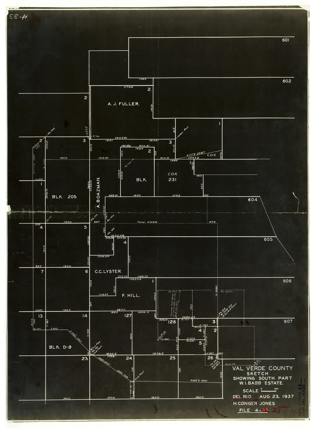
Val Verde County Rolled Sketch 64
Val Verde County sketch showing south part W.I. Babb estate
-
Map/Doc
8129
-
Collection
General Map Collection
-
Object Dates
1937/8/23 (Creation Date)
1956/12/7 (File Date)
-
People and Organizations
H. Conger Jones (Surveyor/Engineer)
-
Counties
Val Verde
-
Subjects
Surveying Rolled Sketch
-
Height x Width
24.6 x 18.2 inches
62.5 x 46.2 cm
-
Medium
photostat
Part of: General Map Collection
Cameron County Rolled Sketch 7

Print $20.00
- Digital $50.00
Cameron County Rolled Sketch 7
1926
Size 27.4 x 31.8 inches
Map/Doc 8563
Goliad County Sketch File 18

Print $100.00
- Digital $50.00
Goliad County Sketch File 18
1854
Size 12.8 x 15.5 inches
Map/Doc 24255
Crockett County Working Sketch 81

Print $20.00
- Digital $50.00
Crockett County Working Sketch 81
1973
Size 28.1 x 37.7 inches
Map/Doc 68414
Brewster County Rolled Sketch 114

Print $20.00
- Digital $50.00
Brewster County Rolled Sketch 114
1964
Size 11.6 x 17.3 inches
Map/Doc 5273
Red River County Sketch File 4

Print $6.00
- Digital $50.00
Red River County Sketch File 4
Size 9.3 x 11.5 inches
Map/Doc 35100
Liberty County Working Sketch 31

Print $20.00
- Digital $50.00
Liberty County Working Sketch 31
1942
Size 23.1 x 42.9 inches
Map/Doc 70490
Atascosa County Rolled Sketch 27

Print $20.00
- Digital $50.00
Atascosa County Rolled Sketch 27
2012
Size 25.9 x 34.1 inches
Map/Doc 95410
Nueces County NRC Article 33.136 Sketch 1

Print $274.00
- Digital $50.00
Nueces County NRC Article 33.136 Sketch 1
2002
Size 24.5 x 36.3 inches
Map/Doc 87920

Flight Mission No. BRA-8M, Frame 67, Jefferson County

Print $20.00
- Digital $50.00
Flight Mission No. BRA-8M, Frame 67, Jefferson County
1953
Size 18.8 x 22.5 inches
Map/Doc 85587
Louisiana and Texas Intracoastal Waterway

Print $20.00
- Digital $50.00
Louisiana and Texas Intracoastal Waterway
1939
Size 14.0 x 19.6 inches
Map/Doc 83346
[Surveys in Power and Hewetson's Colony]
![2, [Surveys in Power and Hewetson's Colony], General Map Collection](https://historictexasmaps.com/wmedia_w700/maps/2.tif.jpg)
Print $20.00
- Digital $50.00
[Surveys in Power and Hewetson's Colony]
1830
Size 21.3 x 22.5 inches
Map/Doc 2
You may also like
Coast Chart No. 210 Aransas Pass and Corpus Christi Bay with the coast to latitude 27° 12' Texas

Print $20.00
- Digital $50.00
Coast Chart No. 210 Aransas Pass and Corpus Christi Bay with the coast to latitude 27° 12' Texas
1887
Size 27.1 x 18.5 inches
Map/Doc 72788
Hansford County Working Sketch Graphic Index

Print $20.00
- Digital $50.00
Hansford County Working Sketch Graphic Index
1932
Size 39.2 x 38.2 inches
Map/Doc 76565
Map of Bexar County

Print $20.00
- Digital $50.00
Map of Bexar County
1896
Size 45.2 x 40.2 inches
Map/Doc 4885
Galveston County Sketch File 70

Print $26.00
- Digital $50.00
Galveston County Sketch File 70
1983
Size 11.3 x 8.7 inches
Map/Doc 23928
Newton County Sketch File 4c

Print $4.00
- Digital $50.00
Newton County Sketch File 4c
Size 7.4 x 8.2 inches
Map/Doc 32366
Denton County Working Sketch 3

Print $20.00
- Digital $50.00
Denton County Working Sketch 3
1935
Size 24.6 x 36.4 inches
Map/Doc 68608
Copy of Surveyor's Field Book, Morris Browning - In Blocks 7, 5 & 4, I&GNRRCo., Hutchinson and Carson Counties, Texas

Print $2.00
- Digital $50.00
Copy of Surveyor's Field Book, Morris Browning - In Blocks 7, 5 & 4, I&GNRRCo., Hutchinson and Carson Counties, Texas
1888
Size 6.9 x 8.9 inches
Map/Doc 62285
Map of Hopkins County

Print $20.00
- Digital $50.00
Map of Hopkins County
1872
Size 17.8 x 18.4 inches
Map/Doc 4566
Plan De La Nouvelle-Orleans Sur les Manuscrits du Dépôt des Cartes de la Marine

Print $20.00
- Digital $50.00
Plan De La Nouvelle-Orleans Sur les Manuscrits du Dépôt des Cartes de la Marine
1744
Size 9.1 x 13.6 inches
Map/Doc 97354
Glasscock County Working Sketch 2

Print $20.00
- Digital $50.00
Glasscock County Working Sketch 2
Size 32.0 x 28.0 inches
Map/Doc 63175
Jefferson County Working Sketch 10

Print $40.00
- Digital $50.00
Jefferson County Working Sketch 10
1942
Size 35.0 x 49.4 inches
Map/Doc 66553
Nueces County

Print $20.00
- Digital $50.00
Nueces County
1913
Size 23.5 x 32.3 inches
Map/Doc 77385