[Portion of Harris County]
Atlas F, Page 2, Sketch 11 (F-2-11)
F-2-11
-
Map/Doc
78482
-
Collection
General Map Collection
-
Counties
Harris
-
Subjects
Atlas
-
Height x Width
9.8 x 7.2 inches
24.9 x 18.3 cm
-
Medium
paper, manuscript
-
Comments
Conserved in 2004.
-
Features
West Fork Grand Bayou
Washington Road
White Oak Bayou
Part of: General Map Collection
Gulf, Texas & Western Railway


Print $40.00
- Digital $50.00
Gulf, Texas & Western Railway
1909
Size 18.7 x 103.5 inches
Map/Doc 64431
Webb County Rolled Sketch 37
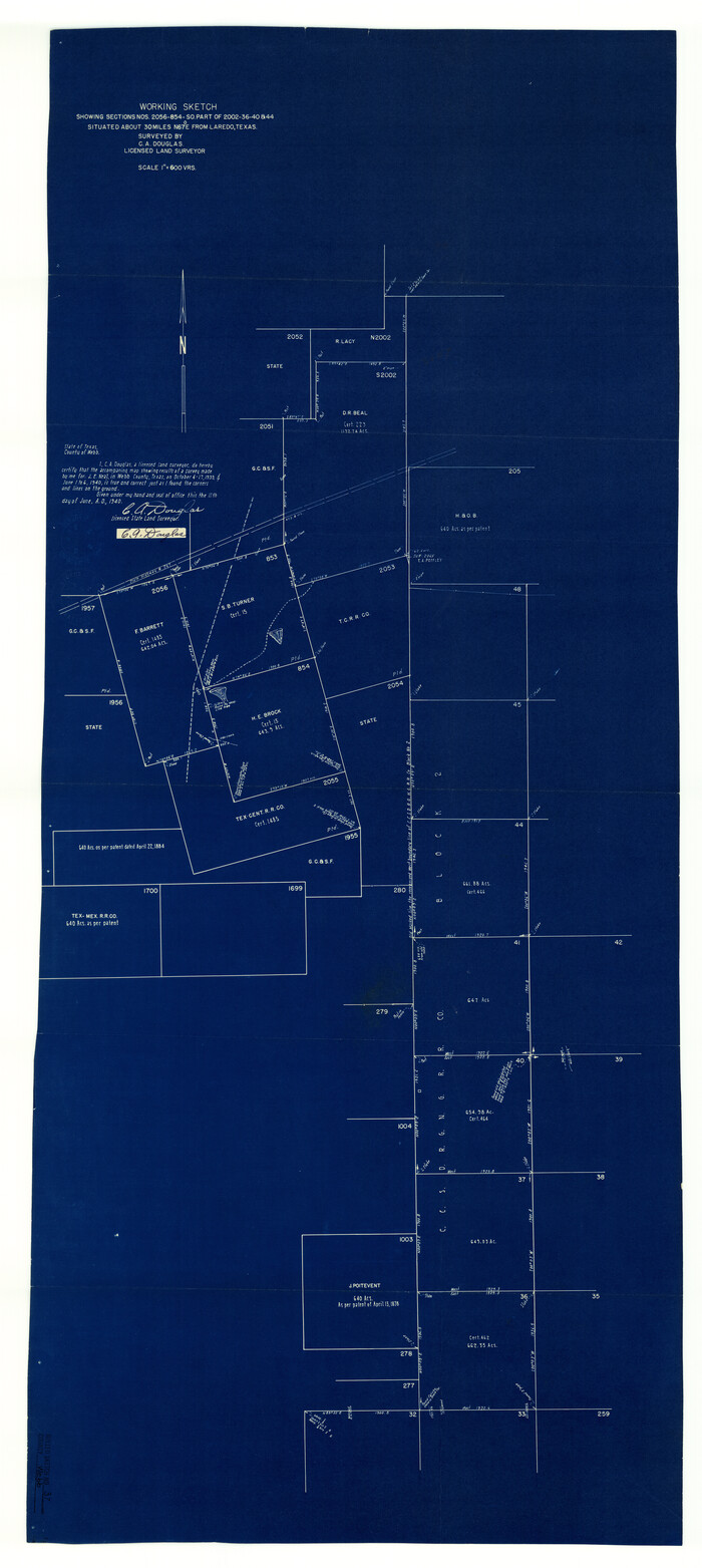

Print $20.00
- Digital $50.00
Webb County Rolled Sketch 37
1940
Size 43.0 x 19.2 inches
Map/Doc 8192
Dallas County Rolled Sketch 6


Print $20.00
- Digital $50.00
Dallas County Rolled Sketch 6
1983
Size 31.7 x 37.5 inches
Map/Doc 8769
Red River County Sketch File 5


Print $4.00
- Digital $50.00
Red River County Sketch File 5
Size 7.9 x 4.8 inches
Map/Doc 35102
Reagan County Sketch File 6
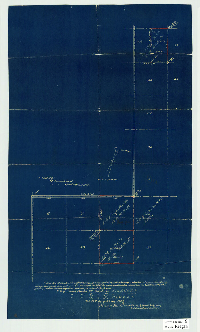

Print $20.00
- Digital $50.00
Reagan County Sketch File 6
1927
Size 23.4 x 14.1 inches
Map/Doc 12215
Fannin County Sketch File 13

Print $4.00
- Digital $50.00
Fannin County Sketch File 13
Size 8.1 x 7.9 inches
Map/Doc 22462
Brazoria County Rolled Sketch 18B
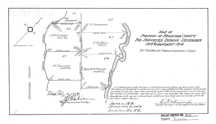

Print $20.00
- Digital $50.00
Brazoria County Rolled Sketch 18B
1914
Size 10.0 x 17.3 inches
Map/Doc 5165
Mitchell County Working Sketch 4
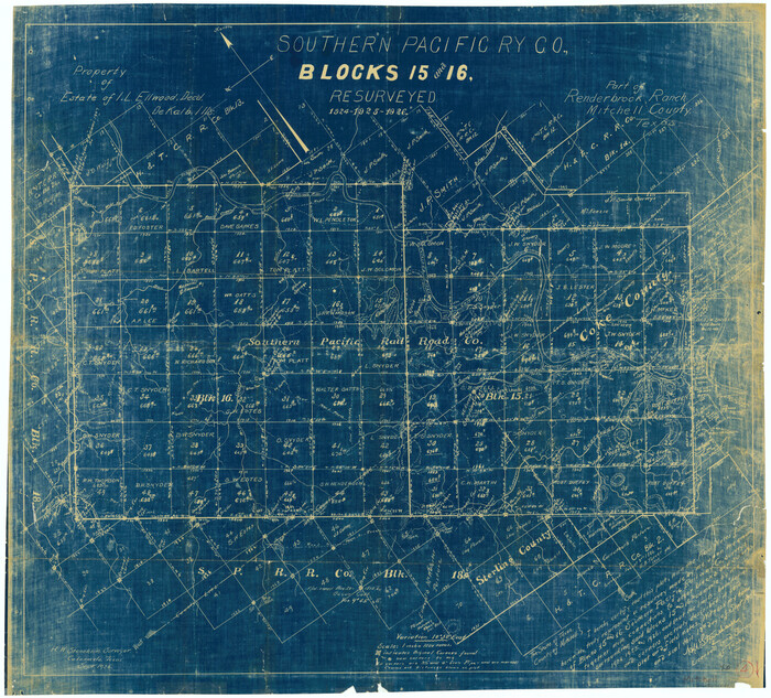

Print $20.00
- Digital $50.00
Mitchell County Working Sketch 4
1926
Size 28.5 x 31.5 inches
Map/Doc 71061
Goliad County Sketch File 16


Print $40.00
- Digital $50.00
Goliad County Sketch File 16
Size 13.4 x 15.8 inches
Map/Doc 24247
Flight Mission No. DCL-7C, Frame 3, Kenedy County


Print $20.00
- Digital $50.00
Flight Mission No. DCL-7C, Frame 3, Kenedy County
1943
Size 18.5 x 22.3 inches
Map/Doc 85995
Falls County Sketch File 14

Print $40.00
- Digital $50.00
Falls County Sketch File 14
Size 15.9 x 12.9 inches
Map/Doc 22370
Sutton County Sketch File 27B
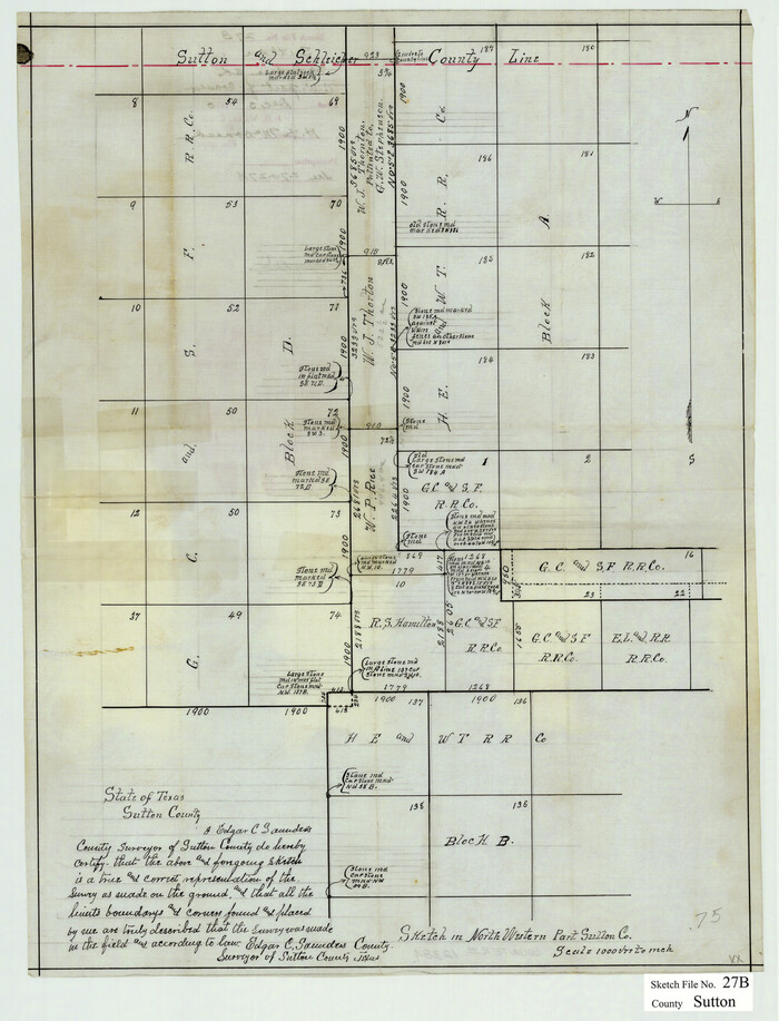

Print $20.00
- Digital $50.00
Sutton County Sketch File 27B
Size 19.1 x 14.6 inches
Map/Doc 12384
You may also like
Palo Pinto County Rolled Sketch 14A
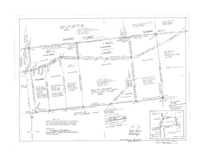

Print $20.00
- Digital $50.00
Palo Pinto County Rolled Sketch 14A
1993
Size 21.8 x 28.2 inches
Map/Doc 7195
Hood County Sketch File 19

Print $11.00
- Digital $50.00
Hood County Sketch File 19
Size 9.0 x 7.9 inches
Map/Doc 26603
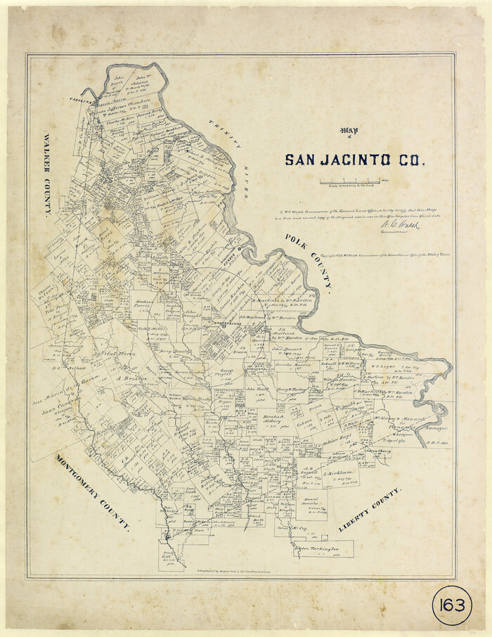
Map of San Jacinto County, Texas

Print $20.00
- Digital $50.00
Map of San Jacinto County, Texas
1879
Size 29.6 x 22.7 inches
Map/Doc 609
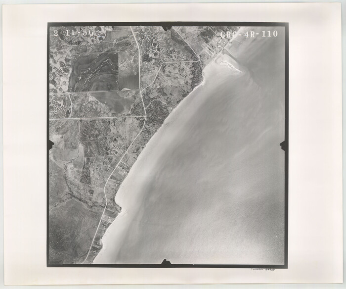
Flight Mission No. CRC-4R, Frame 110, Chambers County

Print $20.00
- Digital $50.00
Flight Mission No. CRC-4R, Frame 110, Chambers County
1956
Size 18.6 x 22.3 inches
Map/Doc 84907
Map of Galveston Bay from Lawrence Cove to Stevenson's Station


Print $20.00
- Digital $50.00
Map of Galveston Bay from Lawrence Cove to Stevenson's Station
1851
Size 41.5 x 30.0 inches
Map/Doc 69922
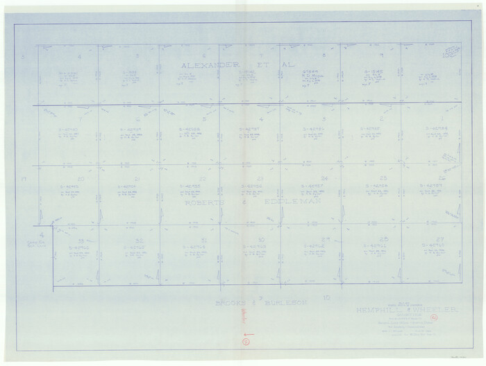
Wheeler County Working Sketch 12

Print $40.00
- Digital $50.00
Wheeler County Working Sketch 12
1978
Size 38.5 x 51.1 inches
Map/Doc 72501
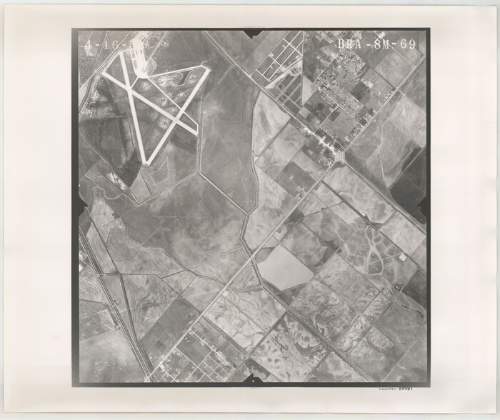
Flight Mission No. BRA-8M, Frame 69, Jefferson County

Print $20.00
- Digital $50.00
Flight Mission No. BRA-8M, Frame 69, Jefferson County
1953
Size 18.6 x 22.1 inches
Map/Doc 85589
Brewster County Working Sketch 106


Print $20.00
- Digital $50.00
Brewster County Working Sketch 106
1980
Size 43.3 x 31.8 inches
Map/Doc 67706
Hale County Working Sketch 5


Print $20.00
- Digital $50.00
Hale County Working Sketch 5
1980
Size 15.0 x 11.1 inches
Map/Doc 63325
Flight Mission No. BQY-4M, Frame 69, Harris County


Print $20.00
- Digital $50.00
Flight Mission No. BQY-4M, Frame 69, Harris County
1953
Size 18.6 x 22.4 inches
Map/Doc 85278
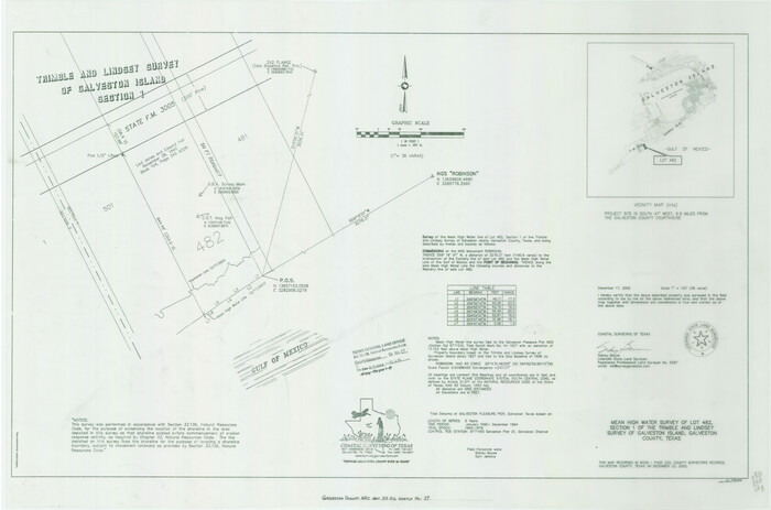
Galveston County NRC Article 33.136 Sketch 17

Print $22.00
- Digital $50.00
Galveston County NRC Article 33.136 Sketch 17
2002
Size 24.1 x 36.4 inches
Map/Doc 78584
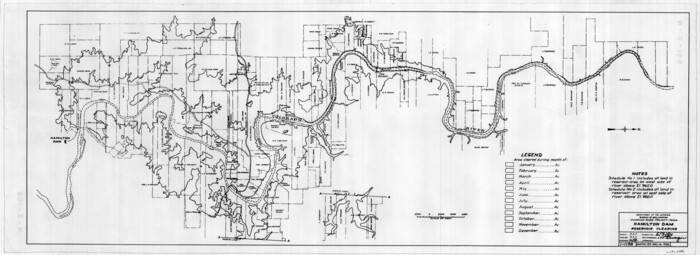
Hamilton Dam, Reservoir Clearing

Print $4.00
- Digital $50.00
Hamilton Dam, Reservoir Clearing
1936
Size 10.5 x 28.9 inches
Map/Doc 2096
![78482, [Portion of Harris County], General Map Collection](https://historictexasmaps.com/wmedia_w1800h1800/maps/78482.tif.jpg)