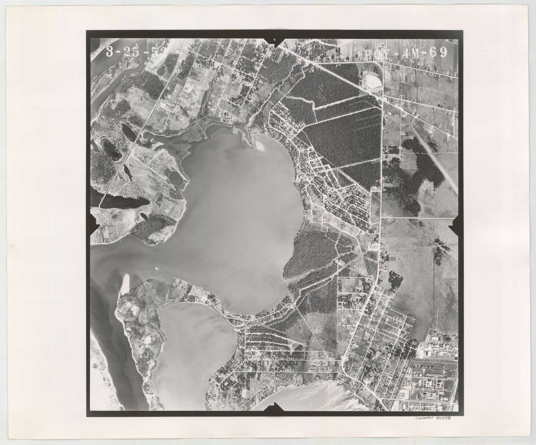
Flight Mission No. BQY-4M, Frame 69, Harris County
BQY-4M-69
-
Map/Doc
85278
-
Collection
General Map Collection
-
Object Dates
1953/3/25 (Creation Date)
-
People and Organizations
U. S. Department of Agriculture (Publisher)
-
Counties
Harris
-
Subjects
Aerial Photograph
-
Height x Width
18.6 x 22.4 inches
47.2 x 56.9 cm
-
Comments
Flown by Jack Ammann Photogrammetric Engineers of San Antonio, Texas.
Part of: General Map Collection
Flight Mission No. DCL-6C, Frame 78, Kenedy County

Print $20.00
- Digital $50.00
Flight Mission No. DCL-6C, Frame 78, Kenedy County
1943
Size 17.5 x 20.7 inches
Map/Doc 85920
Morris County Rolled Sketch 2A

Print $20.00
- Digital $50.00
Morris County Rolled Sketch 2A
Size 24.4 x 19.3 inches
Map/Doc 10266
Burleson County Working Sketch 12

Print $20.00
- Digital $50.00
Burleson County Working Sketch 12
1980
Size 20.6 x 12.0 inches
Map/Doc 67731
Trinity County

Print $20.00
- Digital $50.00
Trinity County
1946
Size 40.5 x 40.7 inches
Map/Doc 77440
Galveston Harbor and Channel, Texas - Rehabilitation of Beachfront Groins - Present Construction

Print $4.00
- Digital $50.00
Galveston Harbor and Channel, Texas - Rehabilitation of Beachfront Groins - Present Construction
1967
Size 15.6 x 21.0 inches
Map/Doc 73619

Brazos River, Brazos River Sheet 1

Print $20.00
- Digital $50.00
Brazos River, Brazos River Sheet 1
1926
Size 20.7 x 25.3 inches
Map/Doc 69665
Hutchinson County Working Sketch 9

Print $20.00
- Digital $50.00
Hutchinson County Working Sketch 9
1920
Size 38.5 x 43.3 inches
Map/Doc 66367
Jack County Sketch File 36

Print $120.00
- Digital $50.00
Jack County Sketch File 36
1882
Size 16.3 x 11.0 inches
Map/Doc 27575

Webb County Working Sketch 79

Print $20.00
- Digital $50.00
Webb County Working Sketch 79
1977
Size 31.0 x 28.3 inches
Map/Doc 72446
Harrison County Working Sketch 1

Print $20.00
- Digital $50.00
Harrison County Working Sketch 1
1919
Size 22.6 x 25.6 inches
Map/Doc 66021
You may also like
Flight Mission No. DAG-24K, Frame 51, Matagorda County

Print $20.00
- Digital $50.00
Flight Mission No. DAG-24K, Frame 51, Matagorda County
1953
Size 16.0 x 15.9 inches
Map/Doc 86538
Leon County Rolled Sketch 17

Print $20.00
- Digital $50.00
Leon County Rolled Sketch 17
Size 20.5 x 24.7 inches
Map/Doc 6603
Crosby County Sketch File 5

Print $10.00
- Digital $50.00
Crosby County Sketch File 5
1887
Size 9.2 x 7.8 inches
Map/Doc 20002
Kinney County Rolled Sketch 8

Print $20.00
- Digital $50.00
Kinney County Rolled Sketch 8
Size 28.0 x 43.9 inches
Map/Doc 6537
Lampasas County Sketch File 20

Print $4.00
- Digital $50.00
Lampasas County Sketch File 20
Size 7.4 x 8.7 inches
Map/Doc 29434
Schleicher County Rolled Sketch 13

Print $20.00
- Digital $50.00
Schleicher County Rolled Sketch 13
Size 37.2 x 30.8 inches
Map/Doc 7756
Stephens County Sketch File 6

Print $4.00
- Digital $50.00
Stephens County Sketch File 6
Size 9.1 x 9.1 inches
Map/Doc 37021
Hockley County Sketch File 11

Print $8.00
- Digital $50.00
Hockley County Sketch File 11
Size 14.3 x 9.0 inches
Map/Doc 26544
Presidio County Rolled Sketch 101

Print $20.00
- Digital $50.00
Presidio County Rolled Sketch 101
1954
Size 25.3 x 33.4 inches
Map/Doc 7383
The Republic County of Sabine. Boundaries Defined, December14, 1837

Print $20.00
The Republic County of Sabine. Boundaries Defined, December14, 1837
2020
Size 17.6 x 21.7 inches
Map/Doc 96269
Newton County Working Sketch 15

Print $20.00
- Digital $50.00
Newton County Working Sketch 15
1949
Size 23.4 x 33.9 inches
Map/Doc 71261
Presidio County Working Sketch 82

Print $40.00
- Digital $50.00
Presidio County Working Sketch 82
1967
Size 48.6 x 67.2 inches
Map/Doc 71759