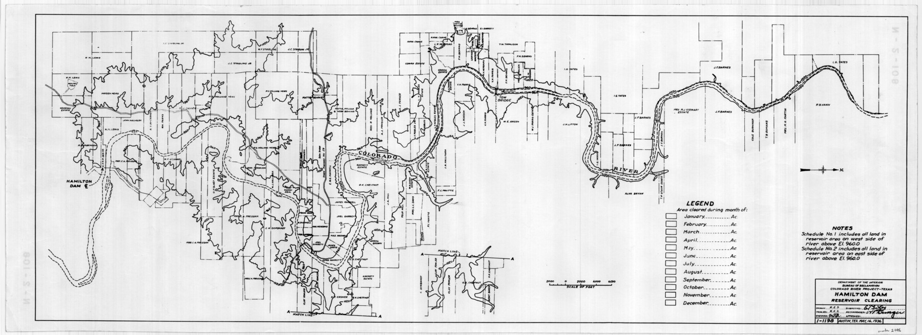
Hamilton Dam, Reservoir Clearing
N-2-108
-
Map/Doc
2096
-
Collection
General Map Collection
-
Object Dates
1936 (Creation Date)
-
People and Organizations
Department of Interior, Bureau of Reclamation (Author)
-
Height x Width
10.5 x 28.9 inches
26.7 x 73.4 cm
Part of: General Map Collection
Flight Mission No. BRA-16M, Frame 161, Jefferson County

Print $20.00
- Digital $50.00
Flight Mission No. BRA-16M, Frame 161, Jefferson County
1953
Size 18.5 x 22.3 inches
Map/Doc 85759
El Paso County Rolled Sketch 8

Print $40.00
- Digital $50.00
El Paso County Rolled Sketch 8
1882
Size 39.9 x 51.7 inches
Map/Doc 8852
Hall County Working Sketch 8

Print $20.00
- Digital $50.00
Hall County Working Sketch 8
1959
Size 29.4 x 32.8 inches
Map/Doc 63336
Hardeman County Sketch File 14

Print $8.00
- Digital $50.00
Hardeman County Sketch File 14
1884
Size 12.7 x 8.1 inches
Map/Doc 25022
Blanco County Sketch File 29

Print $40.00
- Digital $50.00
Blanco County Sketch File 29
1888
Size 14.2 x 13.2 inches
Map/Doc 14625
Young County Boundary File 1

Print $8.00
- Digital $50.00
Young County Boundary File 1
Size 10.3 x 8.2 inches
Map/Doc 60198
Callahan County Sketch File 2

Print $8.00
- Digital $50.00
Callahan County Sketch File 2
1858
Size 11.8 x 8.7 inches
Map/Doc 35853
Foard County Sketch File 6

Print $4.00
- Digital $50.00
Foard County Sketch File 6
1875
Size 10.2 x 8.4 inches
Map/Doc 22808
Flight Mission No. CGI-4N, Frame 160, Cameron County

Print $20.00
- Digital $50.00
Flight Mission No. CGI-4N, Frame 160, Cameron County
1955
Size 18.5 x 22.3 inches
Map/Doc 84668
Starr County Rolled Sketch 36

Print $20.00
- Digital $50.00
Starr County Rolled Sketch 36
1947
Size 34.1 x 35.4 inches
Map/Doc 9941
Map of Hall County

Print $20.00
- Digital $50.00
Map of Hall County
1895
Size 25.2 x 20.2 inches
Map/Doc 3619
Zavala County Rolled Sketch 22

Print $20.00
- Digital $50.00
Zavala County Rolled Sketch 22
Size 22.0 x 29.8 inches
Map/Doc 8325
You may also like
America with those known parts in that unknowne worlde both people and manner of buildings

Print $20.00
- Digital $50.00
America with those known parts in that unknowne worlde both people and manner of buildings
1626
Size 17.1 x 22.2 inches
Map/Doc 93816
Brewster County Working Sketch 94

Print $40.00
- Digital $50.00
Brewster County Working Sketch 94
1975
Size 58.7 x 39.5 inches
Map/Doc 67694
Uvalde County Working Sketch 33

Print $20.00
- Digital $50.00
Uvalde County Working Sketch 33
1963
Size 24.5 x 39.2 inches
Map/Doc 72103
Real County Sketch File 14

Print $20.00
- Digital $50.00
Real County Sketch File 14
1933
Size 16.5 x 16.7 inches
Map/Doc 12233
Travis County Rolled Sketch 4

Print $20.00
- Digital $50.00
Travis County Rolled Sketch 4
1915
Size 19.7 x 35.6 inches
Map/Doc 8010
Denton County Working Sketch 29

Print $40.00
- Digital $50.00
Denton County Working Sketch 29
1987
Size 49.7 x 36.8 inches
Map/Doc 68634
[Hutchinson County, Blocks R, XO, M-22, M-25]
![91152, [Hutchinson County, Blocks R, XO, M-22, M-25], Twichell Survey Records](https://historictexasmaps.com/wmedia_w700/maps/91152-1.tif.jpg)
Print $20.00
- Digital $50.00
[Hutchinson County, Blocks R, XO, M-22, M-25]
Size 28.5 x 25.9 inches
Map/Doc 91152
Leon County Working Sketch 50

Print $20.00
- Digital $50.00
Leon County Working Sketch 50
1981
Size 28.9 x 24.2 inches
Map/Doc 70449
Controlled Mosaic by Jack Amman Photogrammetric Engineers, Inc - Sheet 32

Print $20.00
- Digital $50.00
Controlled Mosaic by Jack Amman Photogrammetric Engineers, Inc - Sheet 32
1954
Size 20.0 x 24.0 inches
Map/Doc 83485
Location of the Southern Kansas Railway of Texas, Roberts County, Texas

Print $40.00
- Digital $50.00
Location of the Southern Kansas Railway of Texas, Roberts County, Texas
1887
Size 20.0 x 75.1 inches
Map/Doc 64037
General Highway Map, Coryell County, Texas

Print $20.00
General Highway Map, Coryell County, Texas
1940
Size 18.4 x 25.4 inches
Map/Doc 79059
Flight Mission No. CUG-3P, Frame 138, Kleberg County

Print $20.00
- Digital $50.00
Flight Mission No. CUG-3P, Frame 138, Kleberg County
1956
Size 18.6 x 22.4 inches
Map/Doc 86273