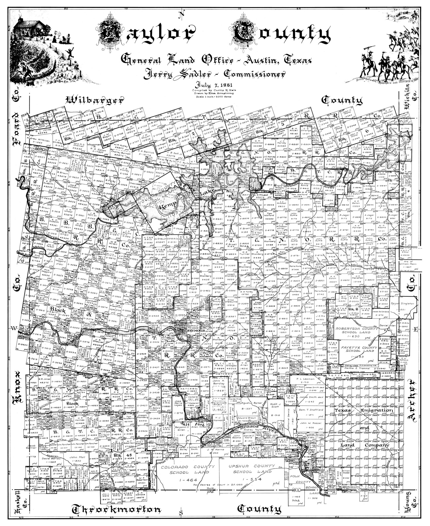
Baylor County
-
Map/Doc
77209
-
Collection
General Map Collection
-
Object Dates
1961/7/7 (Creation Date)
-
People and Organizations
General Land Office (Publisher)
Curtis R. Hale (Compiler)
Jerry Sadler (GLO Commissioner)
Eltea Armstrong (Draftsman)
-
Counties
Baylor
-
Subjects
County
-
Height x Width
40.6 x 33.0 inches
103.1 x 83.8 cm
Part of: General Map Collection
Flight Mission No. CLL-4N, Frame 36, Willacy County

Print $20.00
- Digital $50.00
Flight Mission No. CLL-4N, Frame 36, Willacy County
1954
Size 18.4 x 22.1 inches
Map/Doc 87109
Hall County Sketch File 14

Print $20.00
- Digital $50.00
Hall County Sketch File 14
1882
Size 20.9 x 32.9 inches
Map/Doc 11607
Liberty County Rolled Sketch 13

Print $20.00
- Digital $50.00
Liberty County Rolled Sketch 13
1983
Size 27.0 x 37.8 inches
Map/Doc 6619
Hudspeth County Working Sketch 43

Print $40.00
- Digital $50.00
Hudspeth County Working Sketch 43
1981
Size 37.4 x 53.7 inches
Map/Doc 66328
Atascosa County Rolled Sketch 5

Print $20.00
- Digital $50.00
Atascosa County Rolled Sketch 5
1910
Size 22.1 x 15.8 inches
Map/Doc 5088
Runnels County Working Sketch 6

Print $20.00
- Digital $50.00
Runnels County Working Sketch 6
1907
Size 19.5 x 31.0 inches
Map/Doc 63602
Harrison County Sketch File 20

Print $20.00
- Digital $50.00
Harrison County Sketch File 20
1946
Size 26.4 x 21.8 inches
Map/Doc 11693
Hutchinson County Sketch File 39

Print $20.00
- Digital $50.00
Hutchinson County Sketch File 39
1938
Size 23.5 x 19.0 inches
Map/Doc 11822
Winkler County

Print $20.00
- Digital $50.00
Winkler County
1932
Size 40.3 x 40.1 inches
Map/Doc 77462
Hutchinson County Sketch File 46

Print $50.00
- Digital $50.00
Hutchinson County Sketch File 46
1981
Size 11.2 x 8.7 inches
Map/Doc 27365
DeWitt County Boundary File 3

Print $17.00
- Digital $50.00
DeWitt County Boundary File 3
Size 12.7 x 8.3 inches
Map/Doc 52514
Flight Mission No. BRE-2P, Frame 22, Nueces County

Print $20.00
- Digital $50.00
Flight Mission No. BRE-2P, Frame 22, Nueces County
1956
Size 18.7 x 22.6 inches
Map/Doc 86731
You may also like
Montague County Sketch File 9

Print $18.00
- Digital $50.00
Montague County Sketch File 9
1872
Size 12.6 x 11.7 inches
Map/Doc 31724
Presidio County Working Sketch 149

Print $20.00
- Digital $50.00
Presidio County Working Sketch 149
2002
Size 24.0 x 24.0 inches
Map/Doc 93489
Liberty County Working Sketch 21

Print $20.00
- Digital $50.00
Liberty County Working Sketch 21
1940
Size 20.1 x 15.0 inches
Map/Doc 70480
Wharton County Rolled Sketch 8

Print $20.00
- Digital $50.00
Wharton County Rolled Sketch 8
Size 24.4 x 39.2 inches
Map/Doc 8232
St. Louis, Brownsville & Mexico Railway Location Map from Mile 120 to Rio Grande

Print $40.00
- Digital $50.00
St. Louis, Brownsville & Mexico Railway Location Map from Mile 120 to Rio Grande
1905
Size 20.2 x 61.4 inches
Map/Doc 64169
A General Map of the Middle British Colonies, in America. containing Virginia, Maryland, the Delaware Counties, Pennsylvania and New Jersey. With the addition of New York and of the Greatest Part of New England

Print $20.00
- Digital $50.00
A General Map of the Middle British Colonies, in America. containing Virginia, Maryland, the Delaware Counties, Pennsylvania and New Jersey. With the addition of New York and of the Greatest Part of New England
1776
Size 21.6 x 27.2 inches
Map/Doc 97402
Moore County Rolled Sketch 14A

Print $20.00
- Digital $50.00
Moore County Rolled Sketch 14A
1981
Size 21.8 x 27.5 inches
Map/Doc 6831
Rusk County Sketch File 17a

Print $4.00
Rusk County Sketch File 17a
Size 8.4 x 7.8 inches
Map/Doc 35522
Haskell County

Print $20.00
- Digital $50.00
Haskell County
1933
Size 45.8 x 39.4 inches
Map/Doc 1852
Victoria County Working Sketch 4

Print $20.00
- Digital $50.00
Victoria County Working Sketch 4
1944
Size 37.0 x 47.6 inches
Map/Doc 72274
DeWitt County Working Sketch 12

Print $20.00
- Digital $50.00
DeWitt County Working Sketch 12
1981
Size 17.0 x 12.5 inches
Map/Doc 68602
Shelby County Working Sketch 6

Print $20.00
- Digital $50.00
Shelby County Working Sketch 6
1941
Size 25.1 x 18.9 inches
Map/Doc 63859