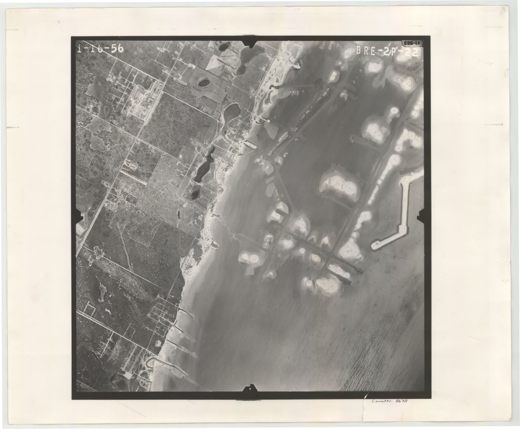
Flight Mission No. BRE-2P, Frame 22, Nueces County
BRE-2P-22
-
Map/Doc
86731
-
Collection
General Map Collection
-
Object Dates
1956/1/16 (Creation Date)
-
People and Organizations
U. S. Department of Agriculture (Publisher)
-
Counties
Nueces
-
Subjects
Aerial Photograph
-
Height x Width
18.7 x 22.6 inches
47.5 x 57.4 cm
-
Comments
Flown by V. L. Beavers and Associates of San Antonio, Texas.
Part of: General Map Collection
Armstrong County Sketch File A-5

Print $40.00
- Digital $50.00
Armstrong County Sketch File A-5
1918
Size 18.0 x 28.2 inches
Map/Doc 10846
Harris County Boundary File 39 (13)

Print $60.00
- Digital $50.00
Harris County Boundary File 39 (13)
Size 13.1 x 15.9 inches
Map/Doc 54341
Wharton County Working Sketch 10

Print $20.00
- Digital $50.00
Wharton County Working Sketch 10
1980
Size 23.6 x 18.7 inches
Map/Doc 72474
Hall County Sketch File 36

Print $4.00
- Digital $50.00
Hall County Sketch File 36
1914
Size 11.2 x 8.8 inches
Map/Doc 24895
Dawson County Working Sketch 10

Print $20.00
- Digital $50.00
Dawson County Working Sketch 10
1944
Size 15.6 x 13.6 inches
Map/Doc 68554
San Jacinto County Working Sketch 13

Print $20.00
- Digital $50.00
San Jacinto County Working Sketch 13
1935
Size 25.0 x 18.8 inches
Map/Doc 63726
G No. 3 - Reconnaissance of the Bar and Channel of St. Marks On the Western Coast of Florida

Print $20.00
- Digital $50.00
G No. 3 - Reconnaissance of the Bar and Channel of St. Marks On the Western Coast of Florida
1852
Size 18.6 x 14.5 inches
Map/Doc 97221
Fannin County Sketch File 2

Print $4.00
- Digital $50.00
Fannin County Sketch File 2
1853
Size 12.4 x 7.9 inches
Map/Doc 22445
McLennan County Sketch File 23

Print $4.00
- Digital $50.00
McLennan County Sketch File 23
Size 5.6 x 3.2 inches
Map/Doc 31297
Flight Mission No. DQN-1K, Frame 118, Calhoun County

Print $20.00
- Digital $50.00
Flight Mission No. DQN-1K, Frame 118, Calhoun County
1953
Size 18.5 x 22.2 inches
Map/Doc 84184
[Aransas and Corpus Christi Bays]
![140, [Aransas and Corpus Christi Bays], General Map Collection](https://historictexasmaps.com/wmedia_w700/maps/140.tif.jpg)
Print $3.00
- Digital $50.00
[Aransas and Corpus Christi Bays]
1839
Size 11.4 x 16.5 inches
Map/Doc 140
Smith County Sketch File 5

Print $6.00
- Digital $50.00
Smith County Sketch File 5
1857
Size 8.4 x 7.8 inches
Map/Doc 36754
You may also like
Red River County Working Sketch 74

Print $20.00
- Digital $50.00
Red River County Working Sketch 74
1980
Size 24.2 x 22.8 inches
Map/Doc 72057
Callahan County Rolled Sketch 26

Print $20.00
- Digital $50.00
Callahan County Rolled Sketch 26
2010
Size 30.6 x 24.6 inches
Map/Doc 93453
[Sketch for Mineral Application 13271- Trinity River]
![65628, [Sketch for Mineral Application 13271- Trinity River], General Map Collection](https://historictexasmaps.com/wmedia_w700/maps/65628.tif.jpg)
Print $40.00
- Digital $50.00
[Sketch for Mineral Application 13271- Trinity River]
1925
Size 63.1 x 22.4 inches
Map/Doc 65628
Crockett County Sketch File 29

Print $8.00
- Digital $50.00
Crockett County Sketch File 29
1883
Size 12.5 x 8.1 inches
Map/Doc 19727
Calhoun County Rolled Sketch 33

Print $73.00
- Digital $50.00
Calhoun County Rolled Sketch 33
1979
Size 10.0 x 15.2 inches
Map/Doc 43687
Chambers County Rolled Sketch 22

Print $20.00
- Digital $50.00
Chambers County Rolled Sketch 22
1940
Size 24.9 x 38.9 inches
Map/Doc 5427
Somervell County

Print $20.00
- Digital $50.00
Somervell County
1884
Size 25.1 x 24.2 inches
Map/Doc 4042
Knox County Boundary File 104

Print $10.00
- Digital $50.00
Knox County Boundary File 104
Size 9.2 x 7.4 inches
Map/Doc 65051
Colorado County Sketch File 27

Print $20.00
- Digital $50.00
Colorado County Sketch File 27
1911
Size 25.3 x 19.4 inches
Map/Doc 11138
Baylor County Boundary File 8

Print $2.00
- Digital $50.00
Baylor County Boundary File 8
Size 11.2 x 8.6 inches
Map/Doc 50406
Chambers County Working Sketch 19

Print $20.00
- Digital $50.00
Chambers County Working Sketch 19
1965
Size 23.5 x 25.8 inches
Map/Doc 68002
Runnels County

Print $20.00
- Digital $50.00
Runnels County
1948
Size 46.5 x 36.4 inches
Map/Doc 77411